Trail Overview
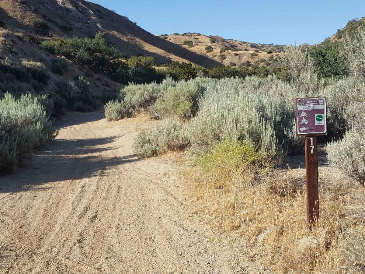
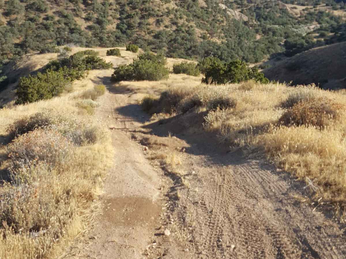
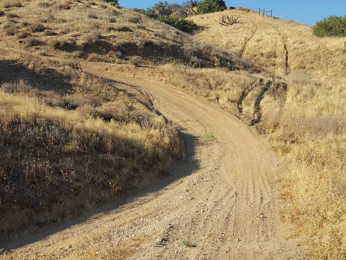
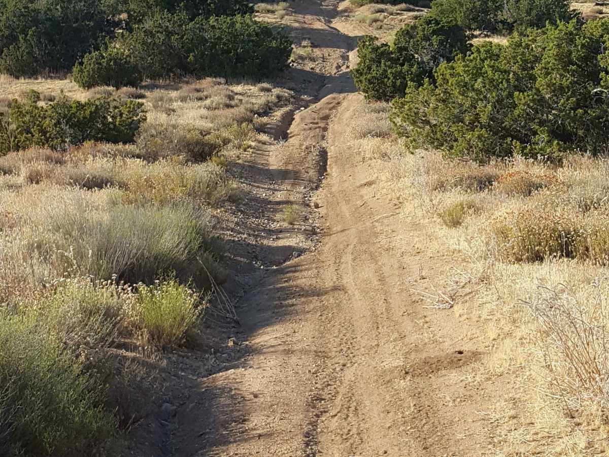
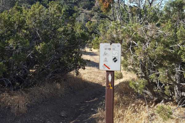
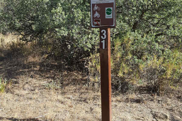
This is a loop trail that climbs to the top of a ridge and then circles back. The start of the trail begins in a sandy wash and then quickly climbs up an adjacent rutted hillside using a series of narrow switchbacks. At the top, the trail flattens out and has occasional whoops, loose rocks, and ruts. It then veers to the right and climbs another short steep hill to reach the final ridgeline. The ridgeline provides great views of the area and eventually passes by the east end of Trail 18 Singletrack. At this point, it descends back down a hillside to where it loops back on itself and then drops down the switchbacks to the wash. The trail is single-vehicle-width in most places but does narrow down near the ridge. A green/red sticker is required for OHV, as well as a Day Use fee payable at the Ballinger Day Use staging area. Weak to no cellular service along the trail. Tread Lightly and Pack-It-Out.
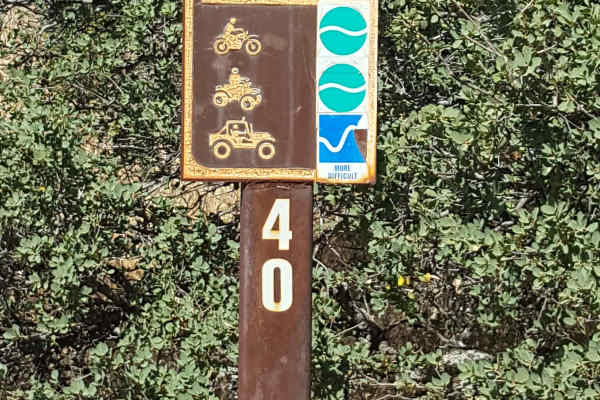
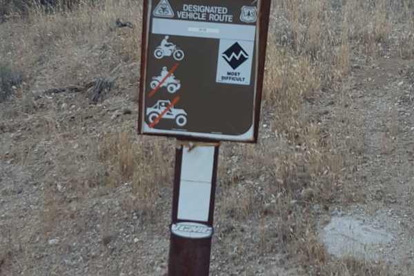
Difficulty
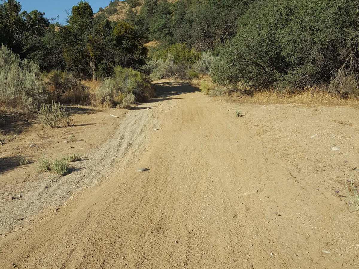
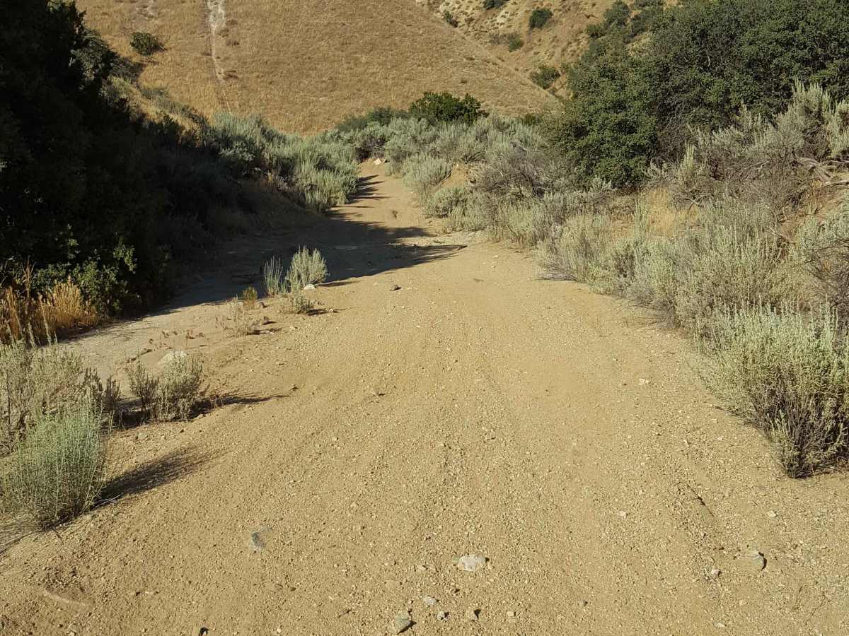
Trail surface starts as loose sand in a wash and then is primarily dirt with embedded rocks, shallow ruts, and occasional whoops. There are several short, steep, rutted grades along with multiple switchbacks as it climbs to and descends from an elevated ridgeline on a shelf road. Once up on top of the hillside, there are frequent places to pull to the side to allow others to pass.