Trail Overview
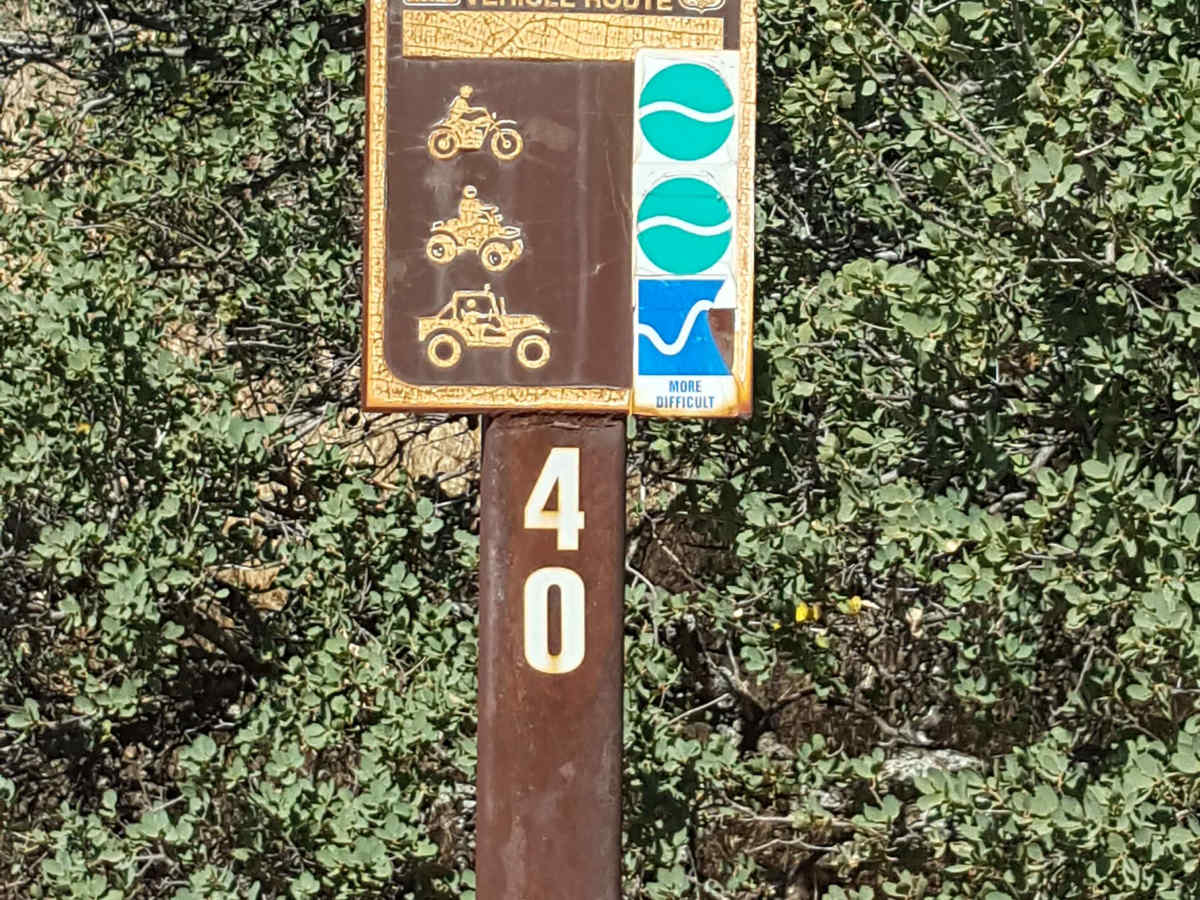
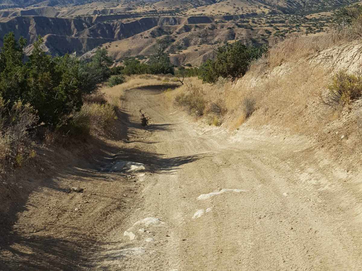
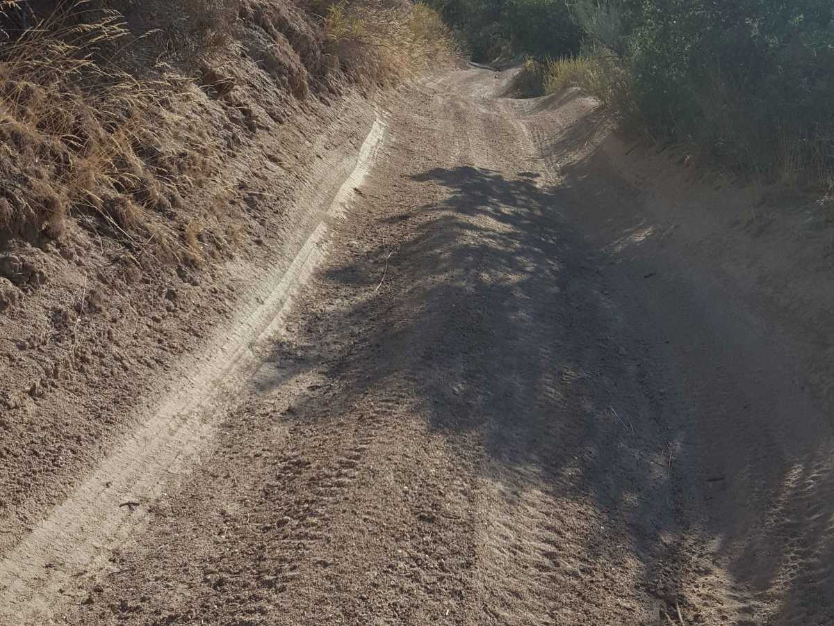
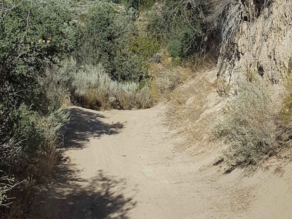
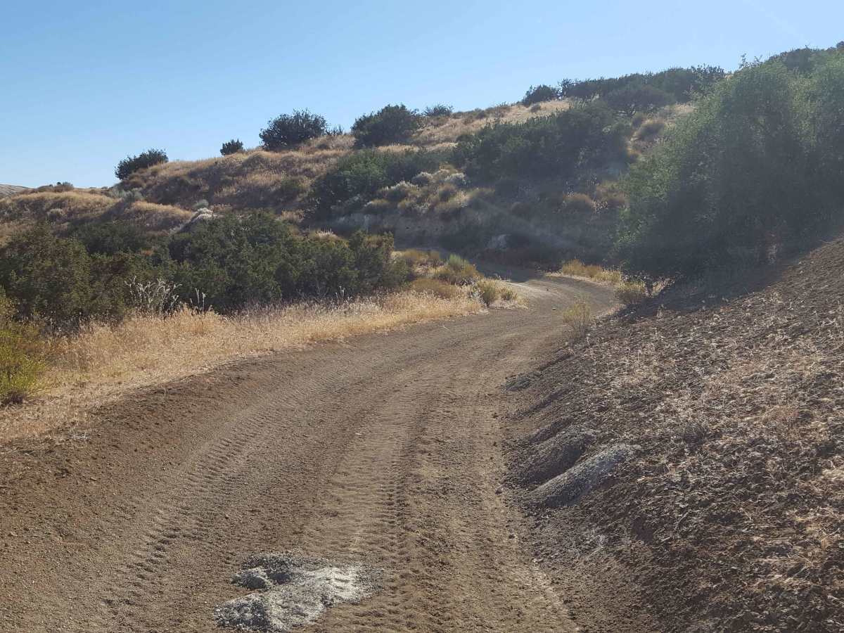
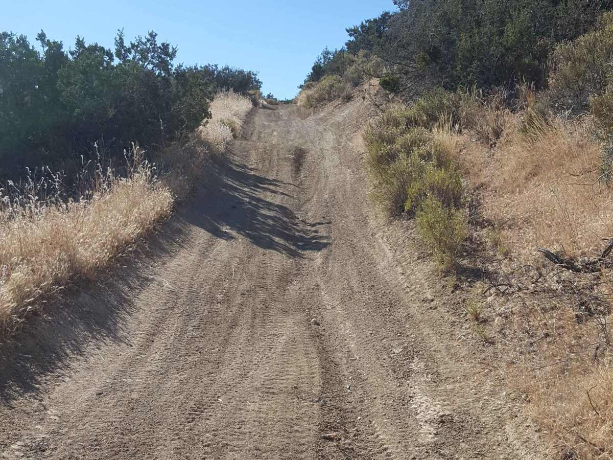
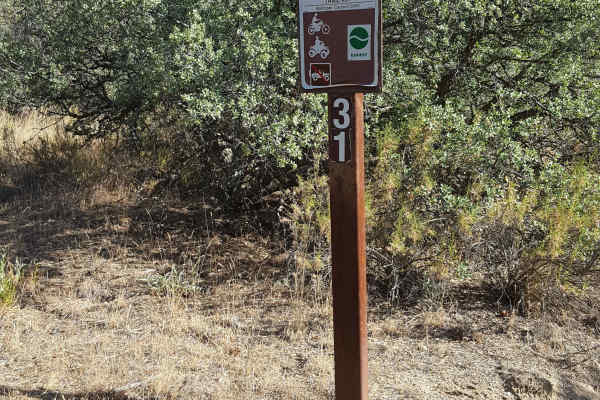
This is a point-to-point trail running from the southwest corner to the center of the Ballinger OHV area. The track is generally a little wider than a single vehicle, with frequent places to pull aside to let other vehicles pass. The trail surface is predominantly packed dirt with small embedded rocks and shallow ruts. Towards the middle section of the trail, there are several short, rutted, steep hills and a shelf road with switchbacks. A few areas also have stretches of shallow sand, whoops, and loose rock. A lot of the trail, though, is fast and flowy over soft dirt with banked turns, making for a fun ride/drive. The route will intersect multiple other trails throughout its course, allowing easy diversions over to more challenging trails. Note that there is little cellular phone service in the area. A green/red sticker is required for OHVs, as well as a Day Use fee payable at the Ballinger parking/staging area. Tread Lightly and Pack-It-Out.
Difficulty
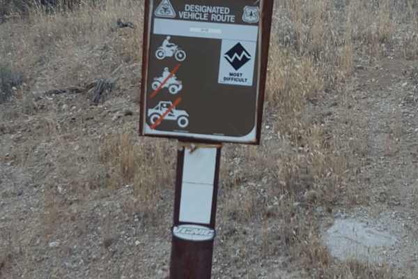
The surface of the majority of this trail is packed dirt with small embedded rocks and shallow ruts. It will pass occasionally through some short washes with shallow sand and scattered rocks. Several short, steep hill climbs can have ruts and may be a little off-camber. Moderate to high clearance is recommended. If the trail becomes very dry and silty or wet and slick, 4WD may be necessary, especially for the hill climbs.

 Offroad