Trail Overview
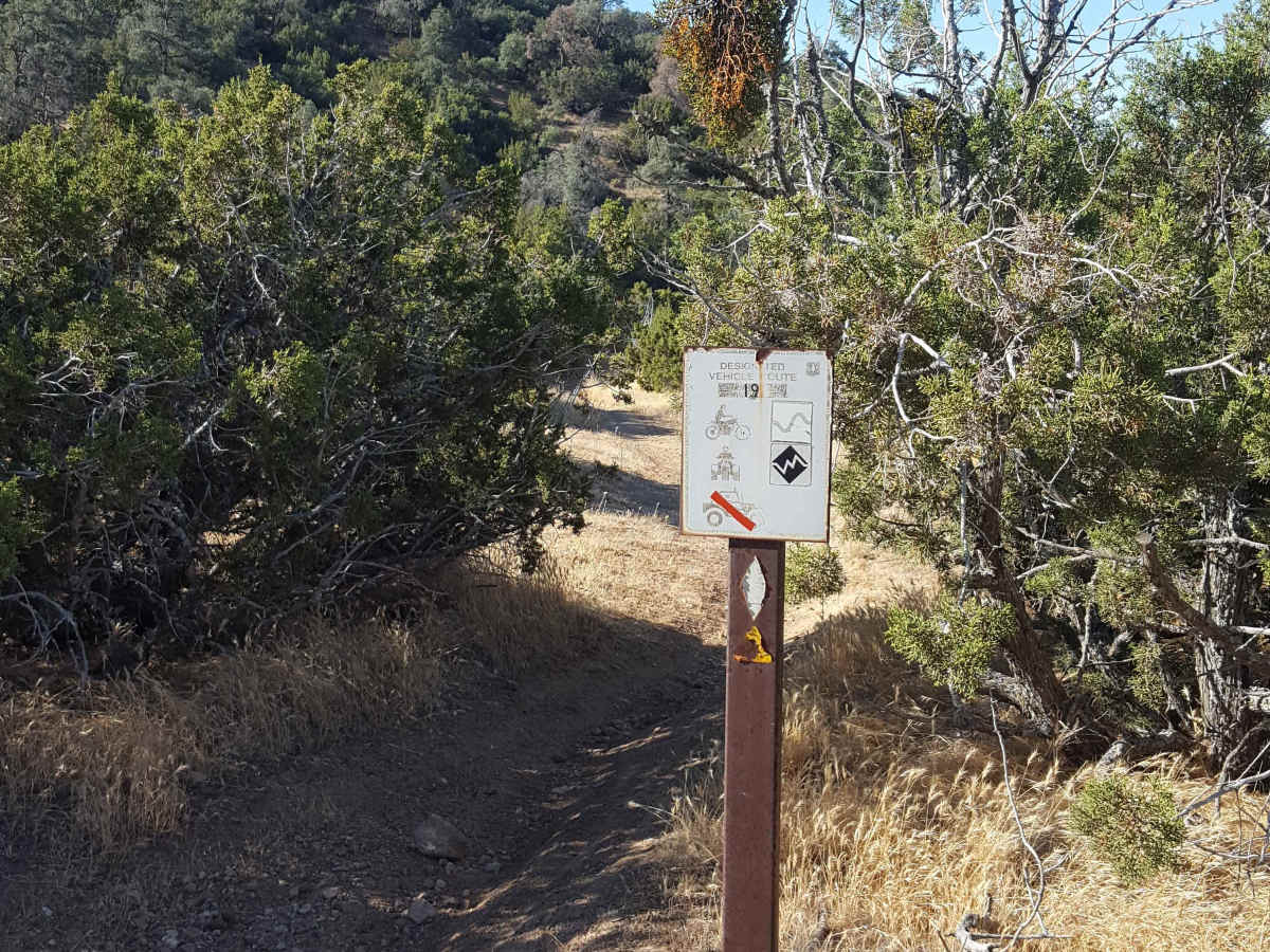
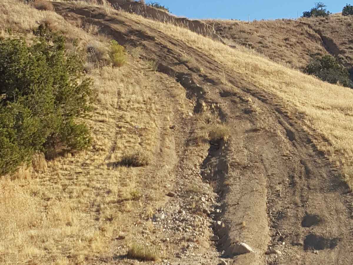
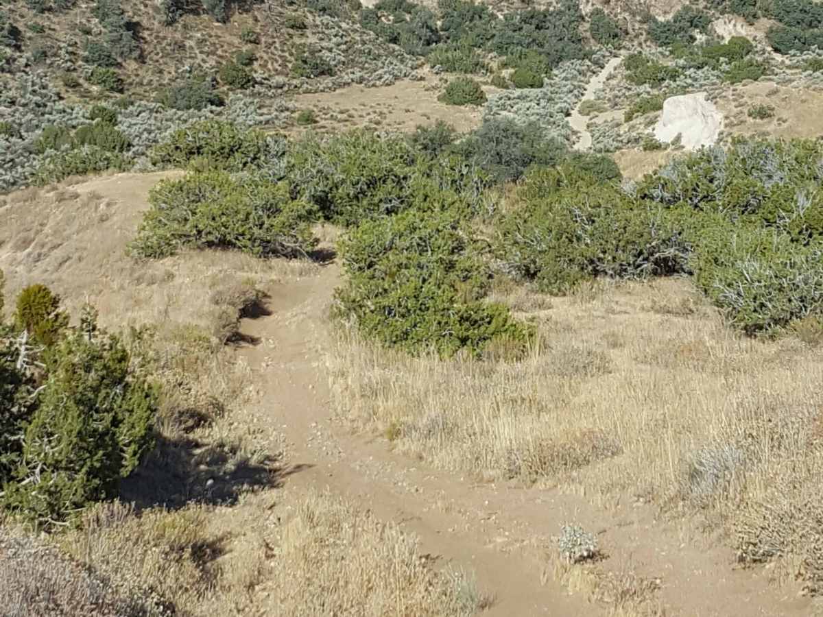
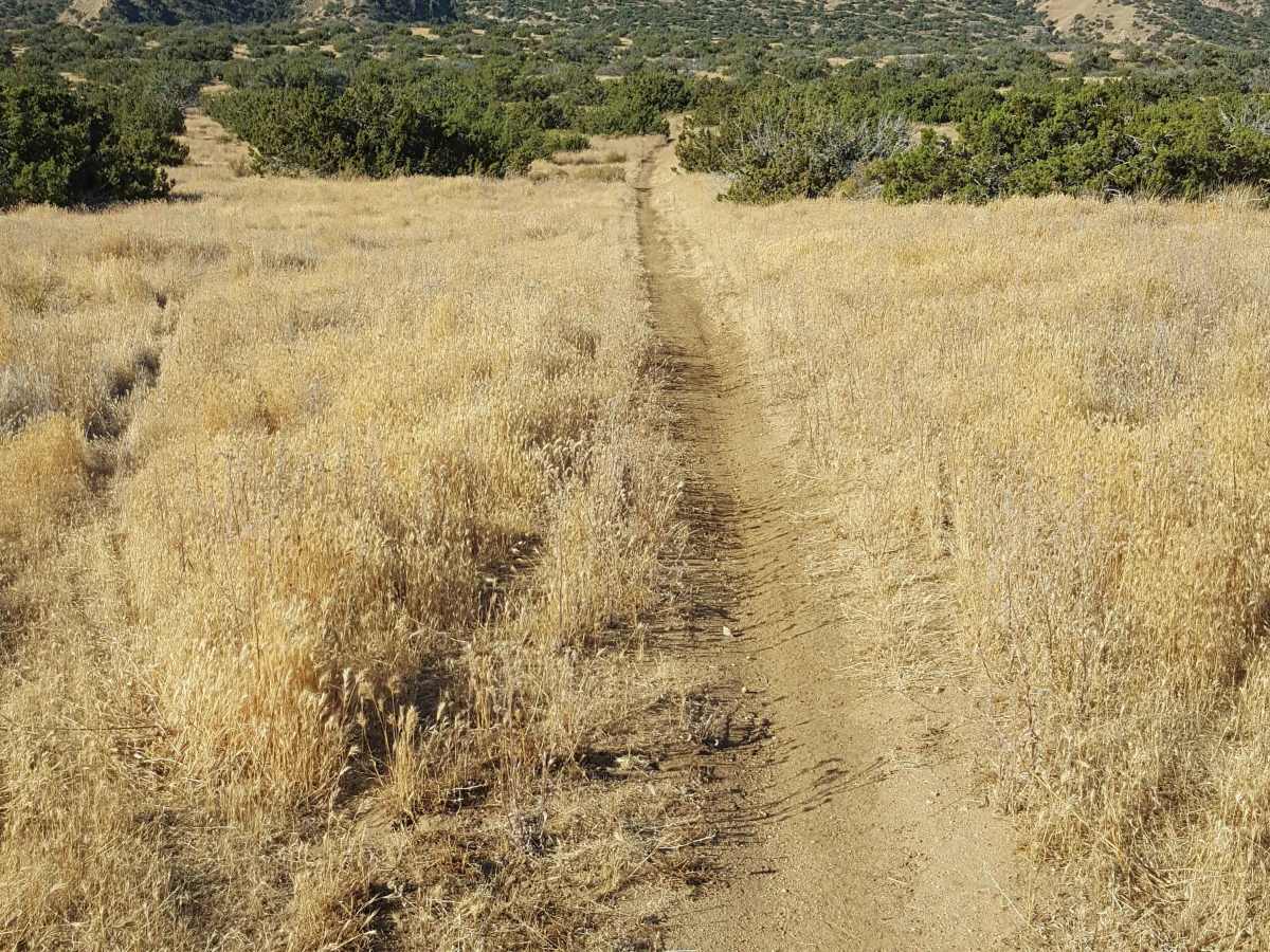
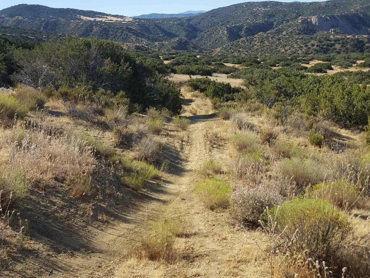
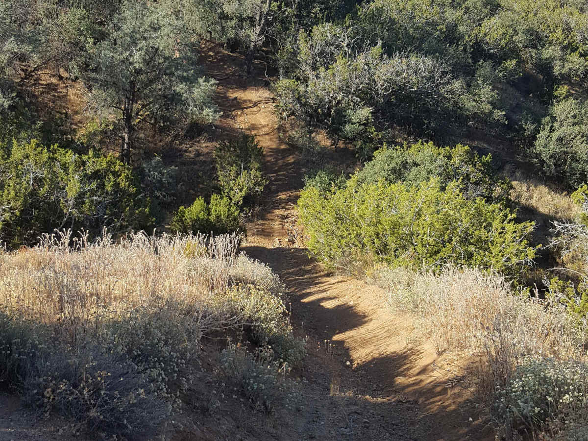
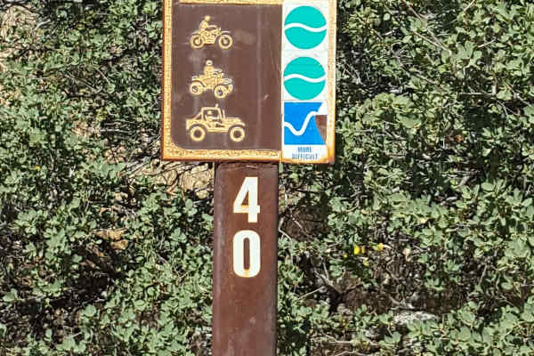
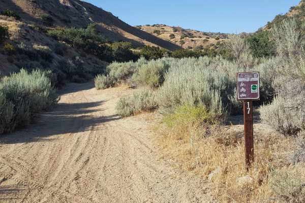
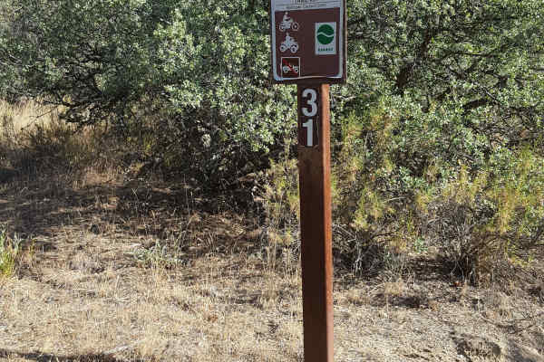
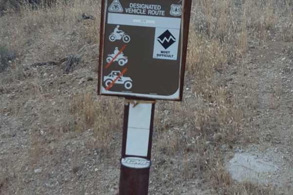
This is a relatively short, singletrack trail for dirt bikes and small ATVs only that connects Trail 24 to the upper section of Trail 17. If starting at the bottom from Trail 24, there is an initial steep and long hill with deep ruts and rocks to overcome. The trail then winds through some tight vegetation and trees on a shelf path before traveling through a section of frequent whoops in a flat meadow. It finishes at Trail 17 after another small hill descent over a rutted surface with some exposed tree roots and embedded rocks. Travel in the opposite direction is a bit easier as there will only be the one small hill to ascend and everything else will be a descent down to the valley below. This trail is a good option to combine with either Trail 17 or 18 to form a loop and avoid having to ride either of these trails in reverse. A green/red sticker is required for OHV as well as a Day Use fee payable at the Ballinger Day Use staging area. Little to no cellular service along the trail. Tread Lightly and Pack-It-Out.
Difficulty
Trail surface is primarily dirt with embedded rocks, both shallow and deep ruts, and occasional exposed tree roots. There is one long, steep and deeply rutted hill at the south end and a few shorter steep grades further along the trail. While the trail is singletrack, there are frequent places to pull to the side to allow others to pass. There are no bypasses or alternate route options once you begin the trail from either end.