Trail Overview
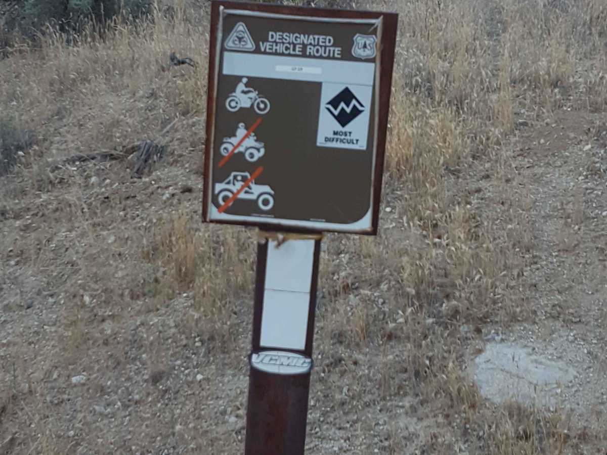
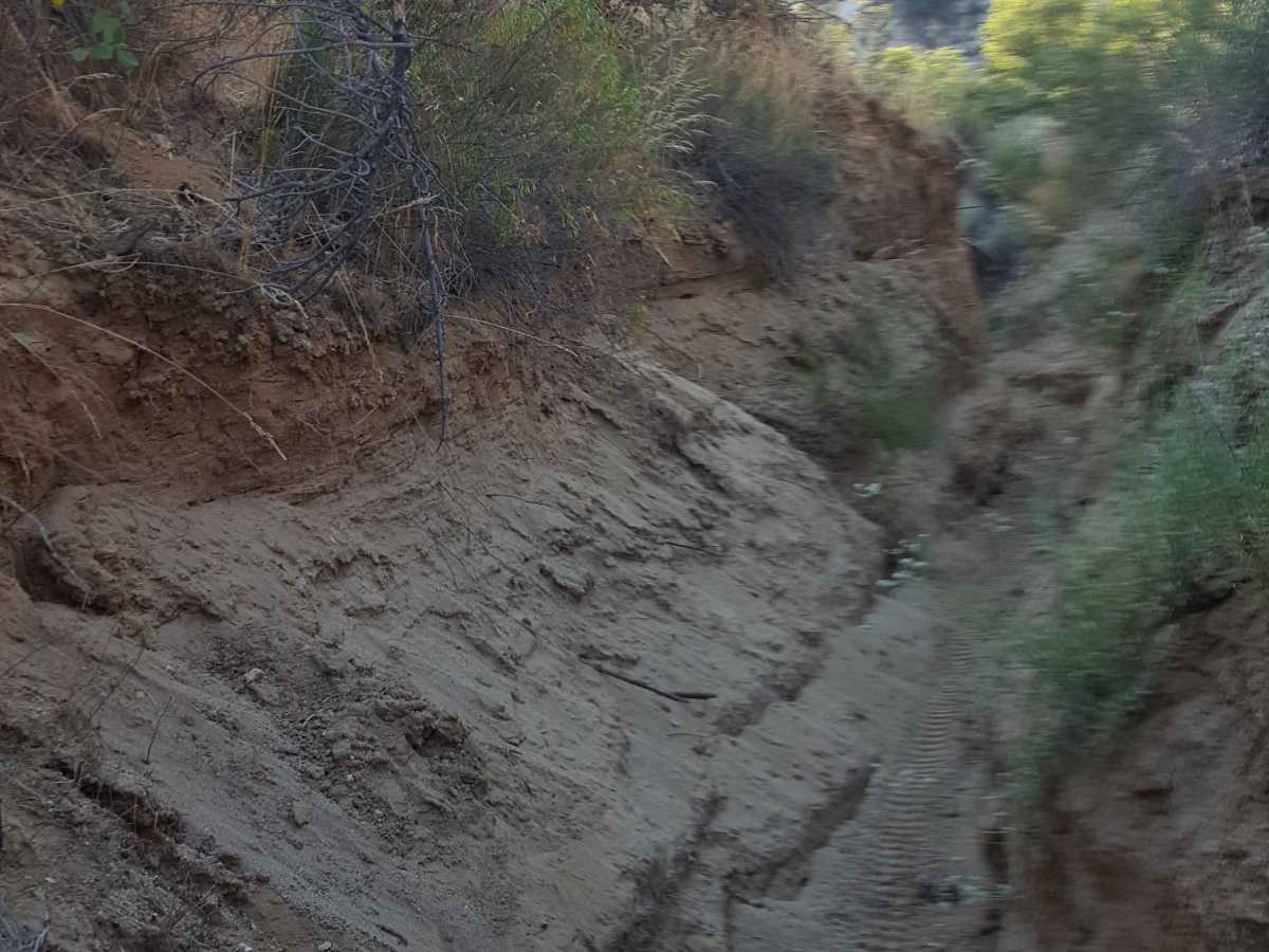
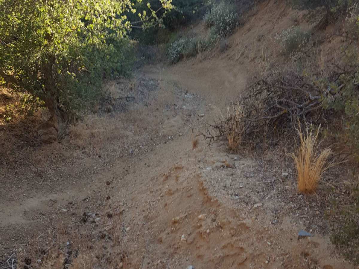
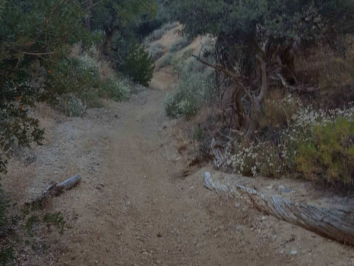
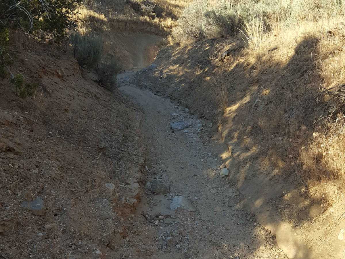
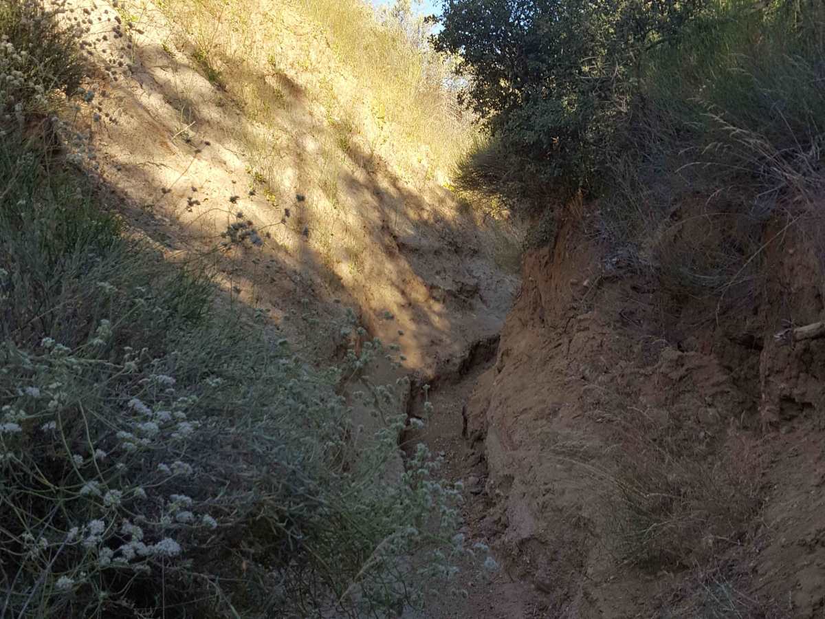
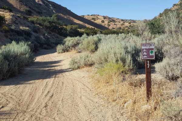
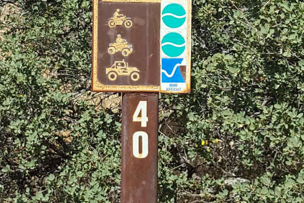
This is a point-to-point singletrack trail for dirt bikes only that runs through a narrow wash canyon and connects Trail 17 with Trail 23. It has a "Most Difficult" rating from the Forest Service. From the west end, the trail begins in a sandy wash with frequent large whoops, erosion ruts, and scattered rocks. As it progresses east, the wash canyon walls start to close in, becoming only slightly wider than the width of bike handlebars in some places. The floor of the slot canyon is littered with larger rocks, requiring some technical enduro riding in places to prevent getting high-centered. There is not much elevation gain/loss through the canyon, so no steep areas of concern. However, it would not be a good place to be if rain is expected in the area. Near the east end, the trail will widen some and become more flowy through a couple banked turns on soft dirt, but watch for loose rocks and ruts. Vegetation and trees can also be tight in a few places along the route. No cellular service in the area. A green/red sticker is required for OHV as well as a Day Use fee payable at the staging area near the Ballinger campground. Tread Lightly and Pack-It-Out.
Difficulty
This trail is challenging due to the path it takes through a narrow wash canyon where there is little room to maneuver side to side. The surface is primarily dirt with stretches of sand, whoops, deep ruts, and large scattered rocks. There is a 2 to 3 foot rock pile to overcome in the middle section of the narrowest part of wash canyon. No major grades present, but wash canyon could become dangerous and difficult to ride if rain is occurring in the area.

 Offroad