Trail 39

Total Miles0.7
Technical Rating
4Moderate
Best TimeSpring, Summer, Fall, Winter
Trail TypeSingle Track
Accessible By
Open Trail Map

Trail Overview

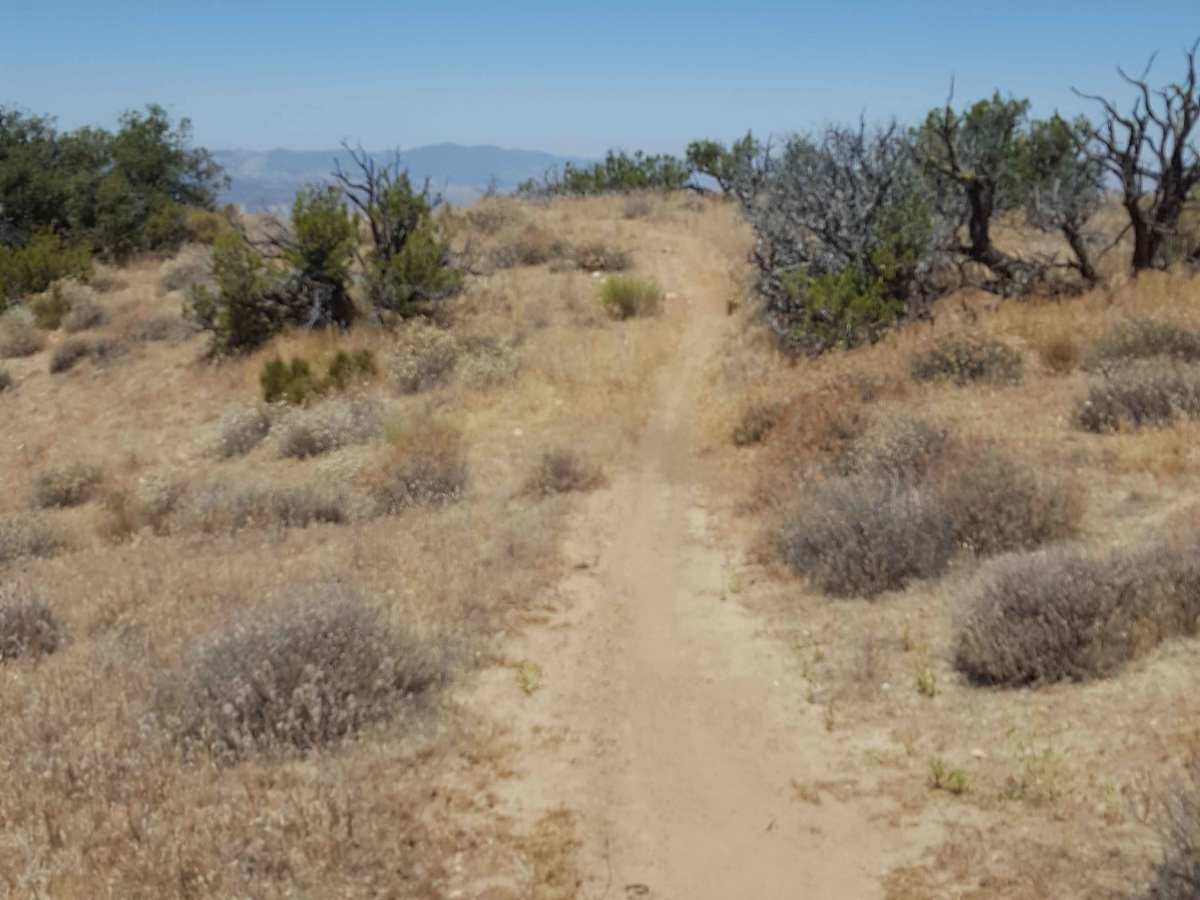
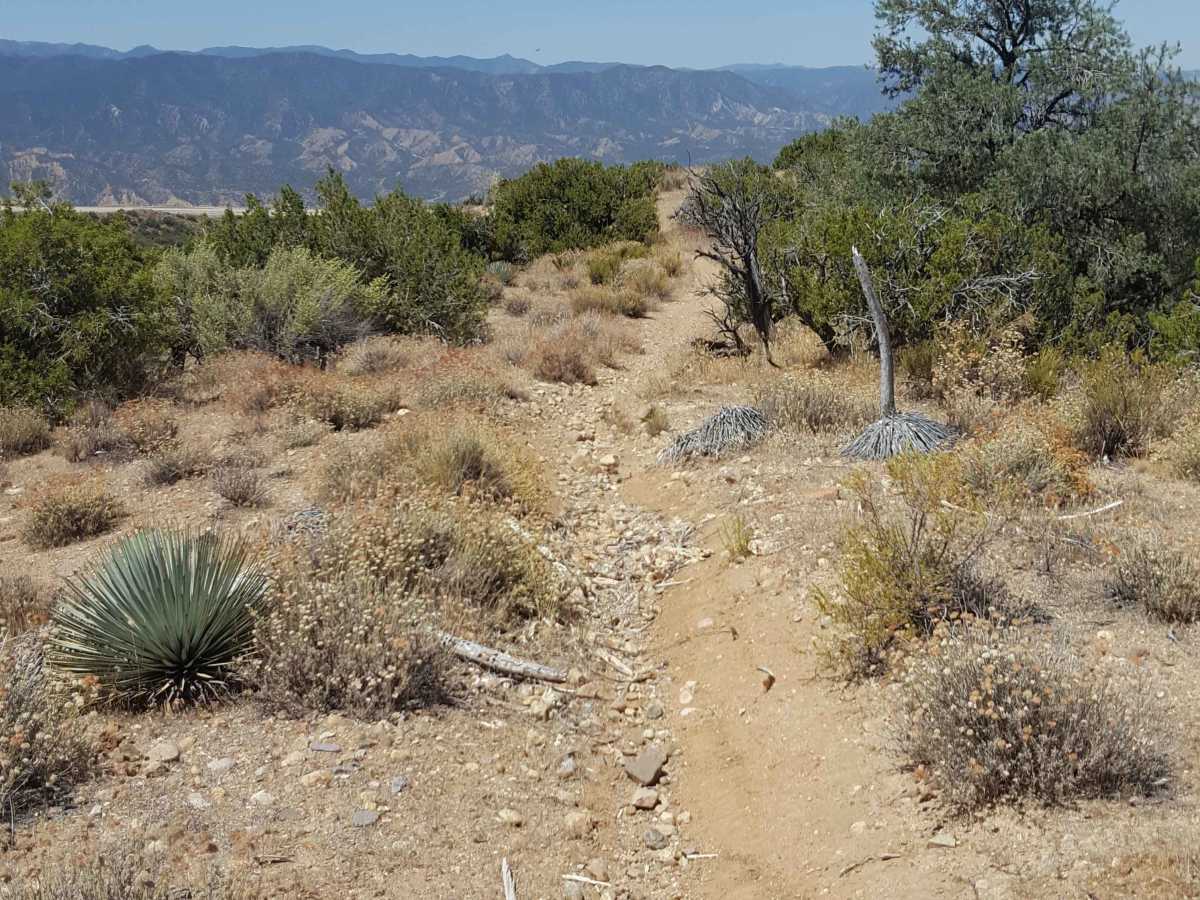
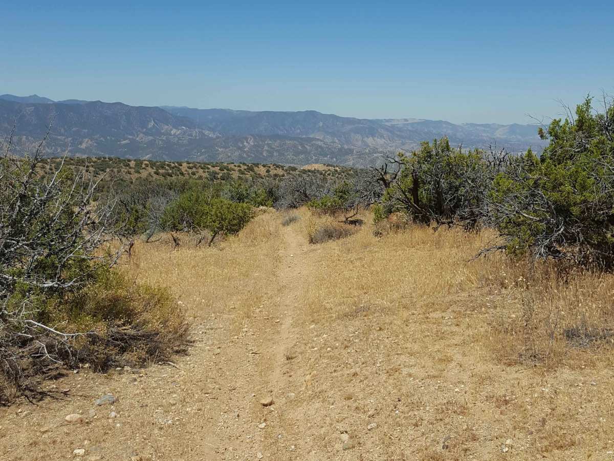
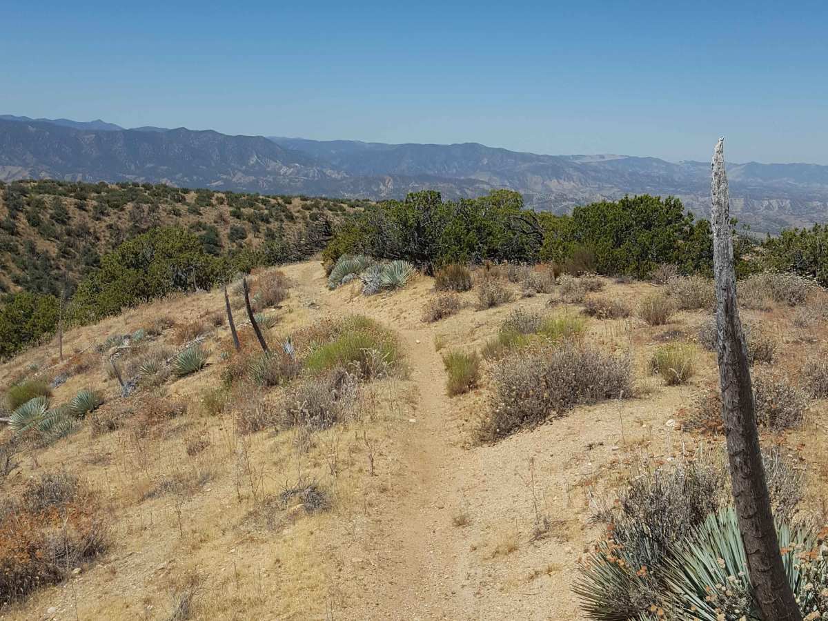
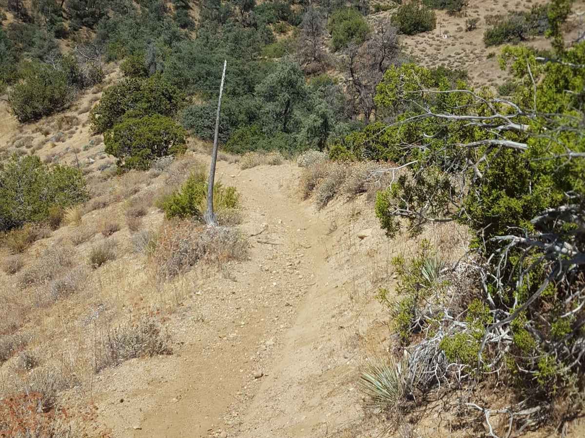
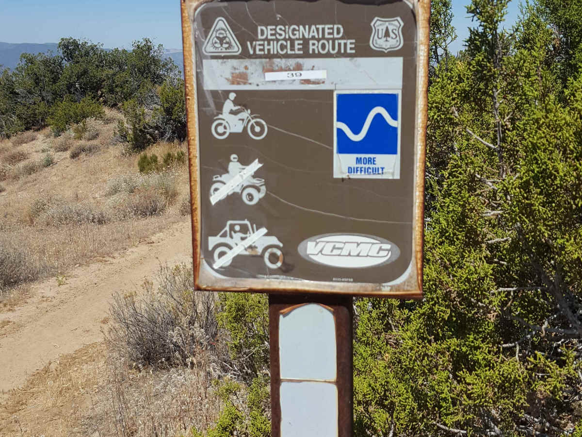
This is a short, singletrack trail for dirt bikes only that connects Trail 29 with Trail 37. From Trail 37 on the west end, this trail will immediately climb up a steep, rutted hill. It then continues to steadily climb as it transits over some rocky stretches and sections with whoops. Great views of the Ballinger area are possible from the upper section, especially where the trail eventually merges into Trail 29. A green/red sticker permit is required for OHV, as well as a Day Use fee payable at the Ballinger Day Use staging area. Weak to no cellular service in the area. Tread Lightly and Pack-It-Out.

Photos of Trail 39

Difficulty

Trail surface is primarily dirt with embedded rocks, both shallow and deep ruts. There is one long, steep, and rutted hill at the west end and a few shorter steep grades further along the trail. There are some short sections of whoops and rock-covered trail. While the trail is singletrack, there are frequent places to pull to the side to allow others to pass. There are no bypasses or alternate route options once you begin the trail from either end.

Technical Rating

4

Trail 39 Trail can be accessed by the following ride types:

  • Single Track

Trail 39 Map

The onX Offroad Difference

onX Offroad combines trail photos, descriptions, difficulty ratings, width restrictions, seasonality, and more in a user-friendly interface. Available on all devices, with offline access and full compatibility with CarPlay and Android Auto. Discover what you're missing today!

Open Trail Map