
Dirt Bike Trails
Near Lamy, New Mexico
Explore All Dirt Bike Trails Near Lamy, New Mexico
Dirt Bike Trails Near Lamy, New Mexico
Discover the best dirt bike trails near you. Browse trail maps, check difficulty ratings, and find your next adventure — whether you're looking for a quick ride or an all-day expedition.
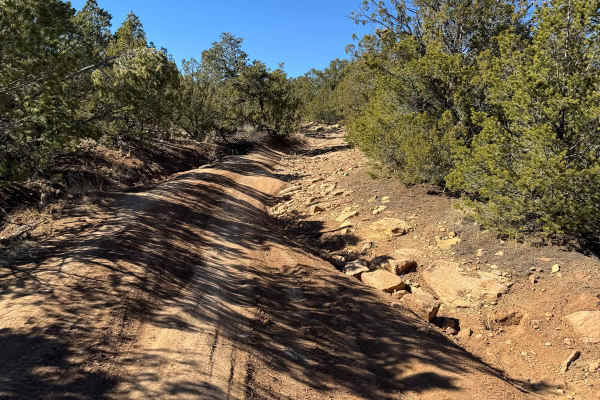
Glorieta Mesa
Glorieta Mesa Trail offers a mix of uneven, rutted dirt paths and technical sections, keeping things interesting. Expect a slight downhill section with loose rock, tight squeezes, and sharp turns between trees. An uneven, rocky area features short, steep grades, 18" ruts, and off-camber stretches th...
Learn more about Glorieta Mesa
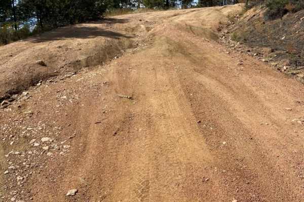
Arroyo Hondo Forest Service 79
Forest Service road that climbs a wide loose and rutted road. There are many shallow ruts and a few deep ruts that must be navigated around if clearance is an issue. There is a very steep descent about 2.5 miles past the Santa Fe National Forest signs or about 0.25 miles past the rough parking lot. ...
Learn more about Arroyo Hondo Forest Service 79
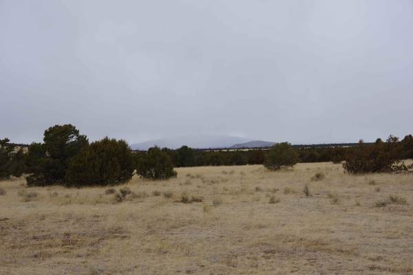
West Mesa Loop
This primarily dirt two-track partially loops through the northwest section of the Glorieta Mesa area. It features some deeper ruts and off-camber sections and has the potential to become very slick mud after rain or snow. Most of the trail is wide enough for two vehicles and provides enough room to...
Learn more about West Mesa Loop
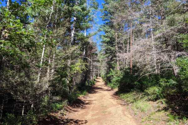
Glorieta Baldy
Glorieta Baldy is a trail on the South end of the Pecos Mountain area featuring numerous camp sites and an expansive view of the Pecos/Glorieta area. The trail starts at the back of a neighborhood on La Cueva road, and ascends Glorieta Baldy from there. The first half of the trail is open, with wide...
Learn more about Glorieta Baldy
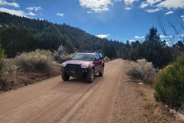
Molino Meadows
Molino Meadows is an easy, scenic two-mile trail ideal for beginners, family outings, and high-clearance vehicles looking to explore the beautiful rolling foothills of the Sangre de Cristo Mountains. This wide, graded dirt road offers a gentle climb with a starting elevation of 7,154 feet, rising ju...
Learn more about Molino Meadows
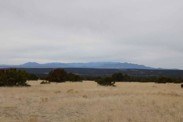
North Glorieta Pass
North Glorieta Pass can be run from its east entrance at the top of Rowe Hill off of CR34 or from its west entrance located off of CR51. The primarily dirt two track is just over one and a half vehicles in width for the majority of its length and doesn't feature any obstacles larger than 10" in size...
Learn more about North Glorieta Pass
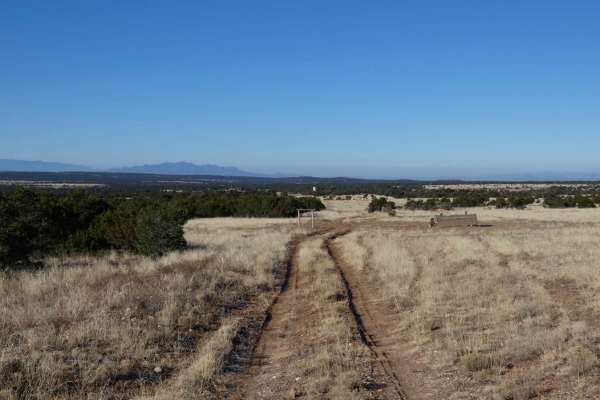
Cerro Encinoso Loop
Cerro Encinoso Loop begins immediately off CR-34 and is an easy dirt two-track for the first mile before making its steeper 19.4% grade climb up to the Cerro Encinoso plateau and continuing on to Hogback Hill. The climb up is over a rocky and lightly rutted uneven surface that most 4WD vehicles will...
Learn more about Cerro Encinoso Loop
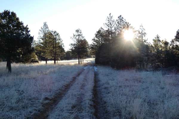
FSR 124H and 324HF
North Rim to Valle Verde covers FSR-124H, FSR-324HF, and a short section of FSR-324HH before intersecting FSR-325H. This route has a primarily dirt surface with some short areas of rocks. The trail is extremely tight in some areas with trees and other brush impeding over the single-vehicle-wide two-...
Learn more about FSR 124H and 324HF
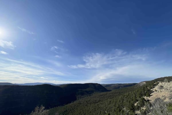
Pecos Barillas 83
When I tell people I'm in New Mexico, they automatically think about the desert, but the Santa Fe National forest encompasses 1.6 million acres of mountains, valley's and mesa's. This trail ranges from an elevation of 6,852 feet to an elevation of 8,529 feet. The road winds and twists through the fo...
Learn more about Pecos Barillas 83
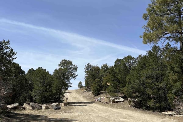
Bull Creek 86
Bull Creek is one of the most beautiful drives I've ever been on. Driving past the Santa Fe National Forest off Interstate 40, I knew that taking the time to explore this area was going to be worth it. As you start up Bull Creek 86, you start a pretty steep climb that's on a single-lane dirt road th...
Learn more about Bull Creek 86
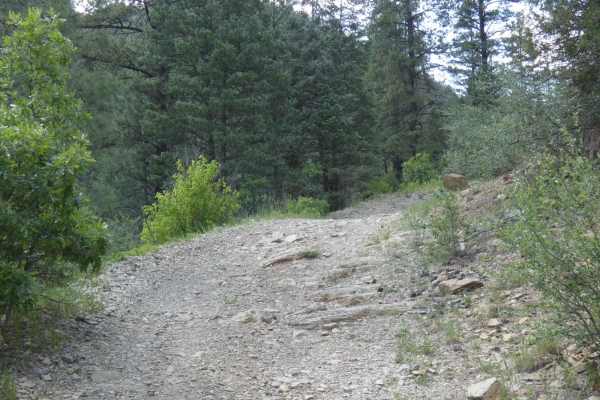
Dalton Canyon Loop
Dalton Canyon Loop is a narrow, overgrown out-and-back loop that takes drivers through some very thick brush, almost resembling trails found in South America. The trail is lined with dense green foliage, which is overgrown and impedes the trail, and provides, in some sections, a low overhead clearan...
Learn more about Dalton Canyon Loop
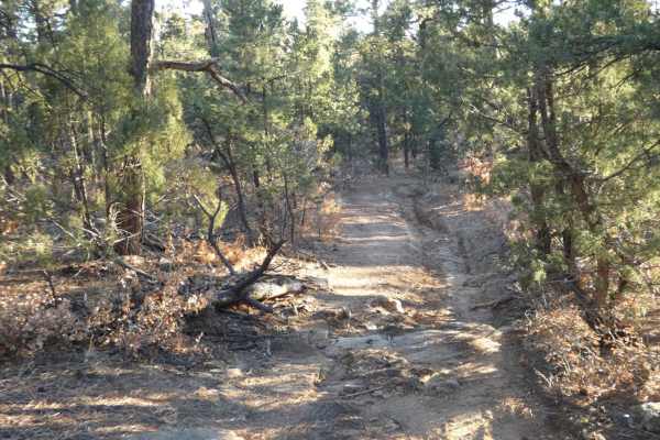
Cow Creek Loop
Cow Creek Loop is a trail that offers a great variety of entry-level to moderate challenges but can be done by most high-clearance AWD and 4WD vehicles with proper line choice. The trail terrain changes several times from a dirt to rock surface with a few sections featuring short off-camber sections...
Learn more about Cow Creek Loop
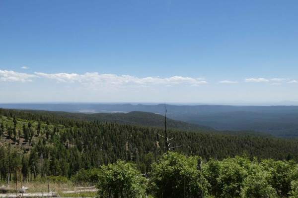
La Madera Viveash
La Madera Viveash begins as a primarily rocky trail with short steep grades, rocks up to 14 inches in size, with some rock gardens and some rutting. The rocky sections have a combination of loose rocks, small rock ledges, and some steps that must be traversed in both directions. Ruts throughout the ...
Learn more about La Madera Viveash
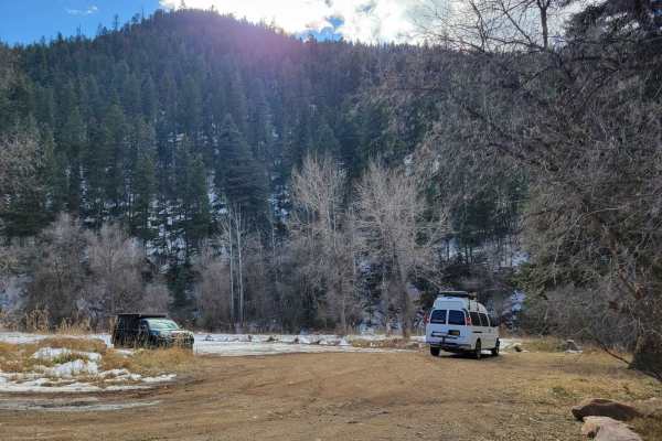
Dalton Canyon
This trail is one of the more accessible routes into the Pecos Mountains. Navigable by most cross-overs, this trail is a local favorite for camping and riding. The trail is mostly well-maintained gravel, with some sections of dirt that can be prone to rutting in the rainy season. Most of the road ha...
Learn more about Dalton Canyon
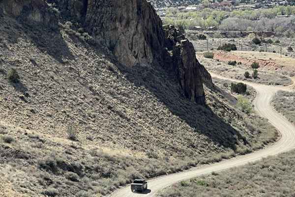
Where is Waldo?
This is an easy route that connects I-25 at the top of La Bajada Hill with Highway 14 at the Village of Cerrillos. For many years, there was a well-marked turnoff to Waldo on I-25. But where is Waldo and what is Waldo? All that remains of the ghost town is a cement foundation along the railroad trac...
Learn more about Where is Waldo?
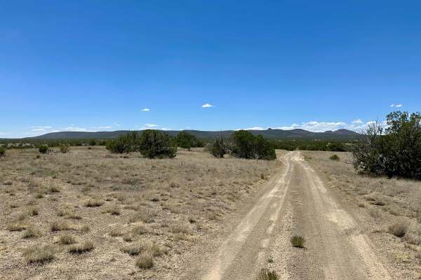
Dispersed Camping Loop
This is a simple and smooth dirt trail leading to dispersed camping. There is one small steep hill drop, where you will need to take it slow. Most of this is smooth and leads to a few other trails, such as Powerline and Dead Dog Trail Offshoot.
Learn more about Dispersed Camping Loop
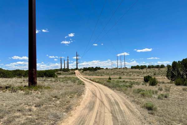
Dead Dog Trail Offshoot
This is a mostly smooth dirt trail with some off-camber areas and ruts at the beginning. There is one deeply rutted area with no bypass. There is a gate you will need to open and close, but it will be unlocked. This trail also leads to the Powerline Trail. This trail also leads to dispersed camping.
Learn more about Dead Dog Trail Offshoot
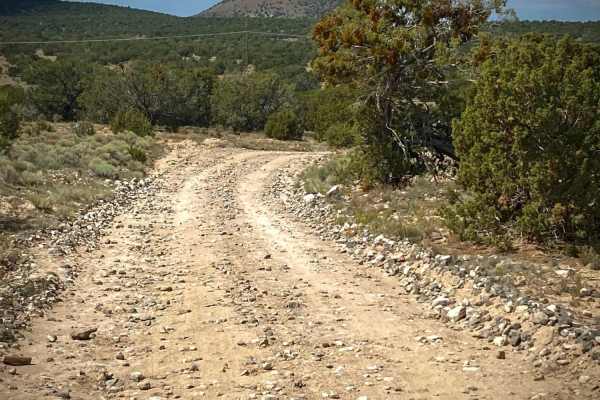
Caja del Rio to La Bajada Mesa-USFS 24
The Caja del Rio Road (#24) is a 23-mile drive across the Caja del Rio Plateau to La Bajada Mesa. It ends with a large escarpment dropping 1000 feet to the valley below with the Pueblo de Cochiti and Pueblo of Santa Domingo reservations. The views for miles from here on a clear day are tremendous wi...
Learn more about Caja del Rio to La Bajada Mesa-USFS 24
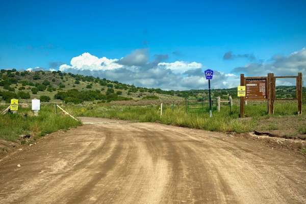
Shortcut to Caja del Rio - Santa Fe County Road 56C
This Santa Fe county road 56C will take you 4.7 miles connecting to the Caja del Rio to La Bajada Mesa-USFS 24 trail. It goes through the Santa Fe Ranch Cienega Recreation area which is managed by the BLM. When you get to the USFS 24 trail, turn left and take the drive to the Caja del Rio Plateau & ...
Learn more about Shortcut to Caja del Rio - Santa Fe County Road 56C
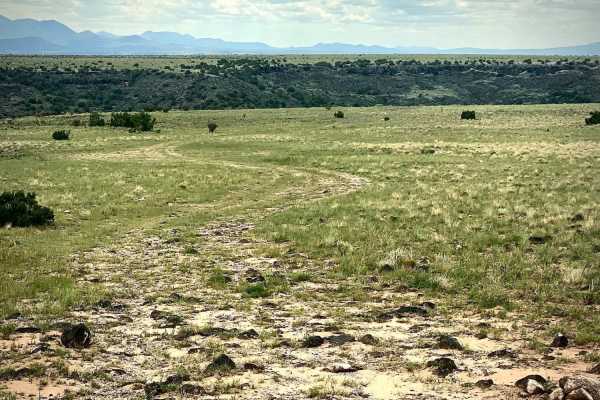
Close to the Southern Edge
This is a short side road off of Caja Del Rio Road USFS 24, which takes you to a Southern escarpment of the plateau overlooking the Santa Fe River basin below. There are a few disturbed primitive campsites with great views to the South over the Pueblo de Santo Domingo reservation and ranch lands. Co...
Learn more about Close to the Southern Edge
ATV trails near Lamy, New Mexico
Explore ATV-friendly trails near you. These trails are accessible for vehicles up to 50 inches wide, perfect for ATVs and smaller off-road machines.
Glorieta Mesa
Glorieta Mesa Trail offers a mix of uneven, rutted dirt paths and technical sections, keeping things interesting. Expect a slight downhill section with loose rock, tight squeezes, and sharp turns between trees. An uneven, rocky area features short, steep grades, 18" ruts, and off-camber stretches th...
Learn more about Glorieta Mesa
Arroyo Hondo Forest Service 79
Forest Service road that climbs a wide loose and rutted road. There are many shallow ruts and a few deep ruts that must be navigated around if clearance is an issue. There is a very steep descent about 2.5 miles past the Santa Fe National Forest signs or about 0.25 miles past the rough parking lot. ...
Learn more about Arroyo Hondo Forest Service 79
West Mesa Loop
This primarily dirt two-track partially loops through the northwest section of the Glorieta Mesa area. It features some deeper ruts and off-camber sections and has the potential to become very slick mud after rain or snow. Most of the trail is wide enough for two vehicles and provides enough room to...
Learn more about West Mesa Loop
Glorieta Baldy
Glorieta Baldy is a trail on the South end of the Pecos Mountain area featuring numerous camp sites and an expansive view of the Pecos/Glorieta area. The trail starts at the back of a neighborhood on La Cueva road, and ascends Glorieta Baldy from there. The first half of the trail is open, with wide...
Learn more about Glorieta Baldy
UTV/side-by-side trails near Lamy, New Mexico
Find UTV and side-by-side trails near you. These trails accommodate vehicles up to 60 inches wide, ideal for UTVs, side-by-sides, and wider off-road rigs.
Glorieta Mesa
Glorieta Mesa Trail offers a mix of uneven, rutted dirt paths and technical sections, keeping things interesting. Expect a slight downhill section with loose rock, tight squeezes, and sharp turns between trees. An uneven, rocky area features short, steep grades, 18" ruts, and off-camber stretches th...
Learn more about Glorieta Mesa
Arroyo Hondo Forest Service 79
Forest Service road that climbs a wide loose and rutted road. There are many shallow ruts and a few deep ruts that must be navigated around if clearance is an issue. There is a very steep descent about 2.5 miles past the Santa Fe National Forest signs or about 0.25 miles past the rough parking lot. ...
Learn more about Arroyo Hondo Forest Service 79
West Mesa Loop
This primarily dirt two-track partially loops through the northwest section of the Glorieta Mesa area. It features some deeper ruts and off-camber sections and has the potential to become very slick mud after rain or snow. Most of the trail is wide enough for two vehicles and provides enough room to...
Learn more about West Mesa Loop
Glorieta Baldy
Glorieta Baldy is a trail on the South end of the Pecos Mountain area featuring numerous camp sites and an expansive view of the Pecos/Glorieta area. The trail starts at the back of a neighborhood on La Cueva road, and ascends Glorieta Baldy from there. The first half of the trail is open, with wide...
Learn more about Glorieta Baldy
The onX Offroad Difference
onX Offroad combines trail photos, descriptions, difficulty ratings, width restrictions, seasonality, and more in a user-friendly interface. Available on all devices, with offline access and full compatibility with CarPlay and Android Auto. Discover what you're missing today!
Open Trail Map