Trail Overview
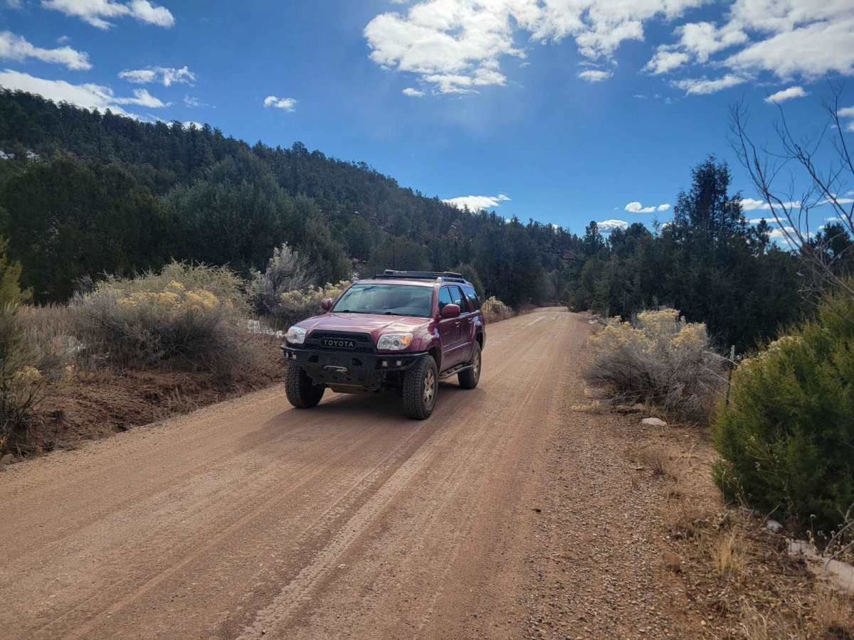
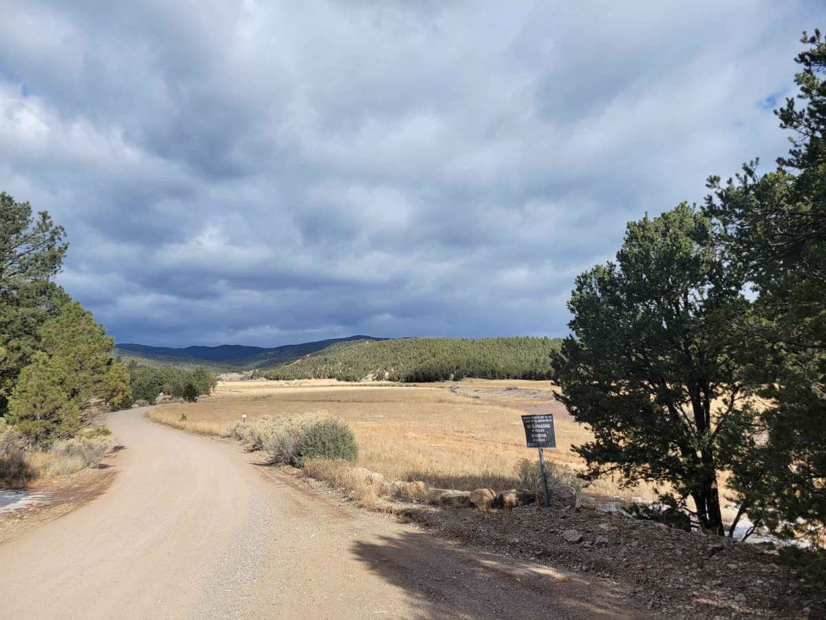
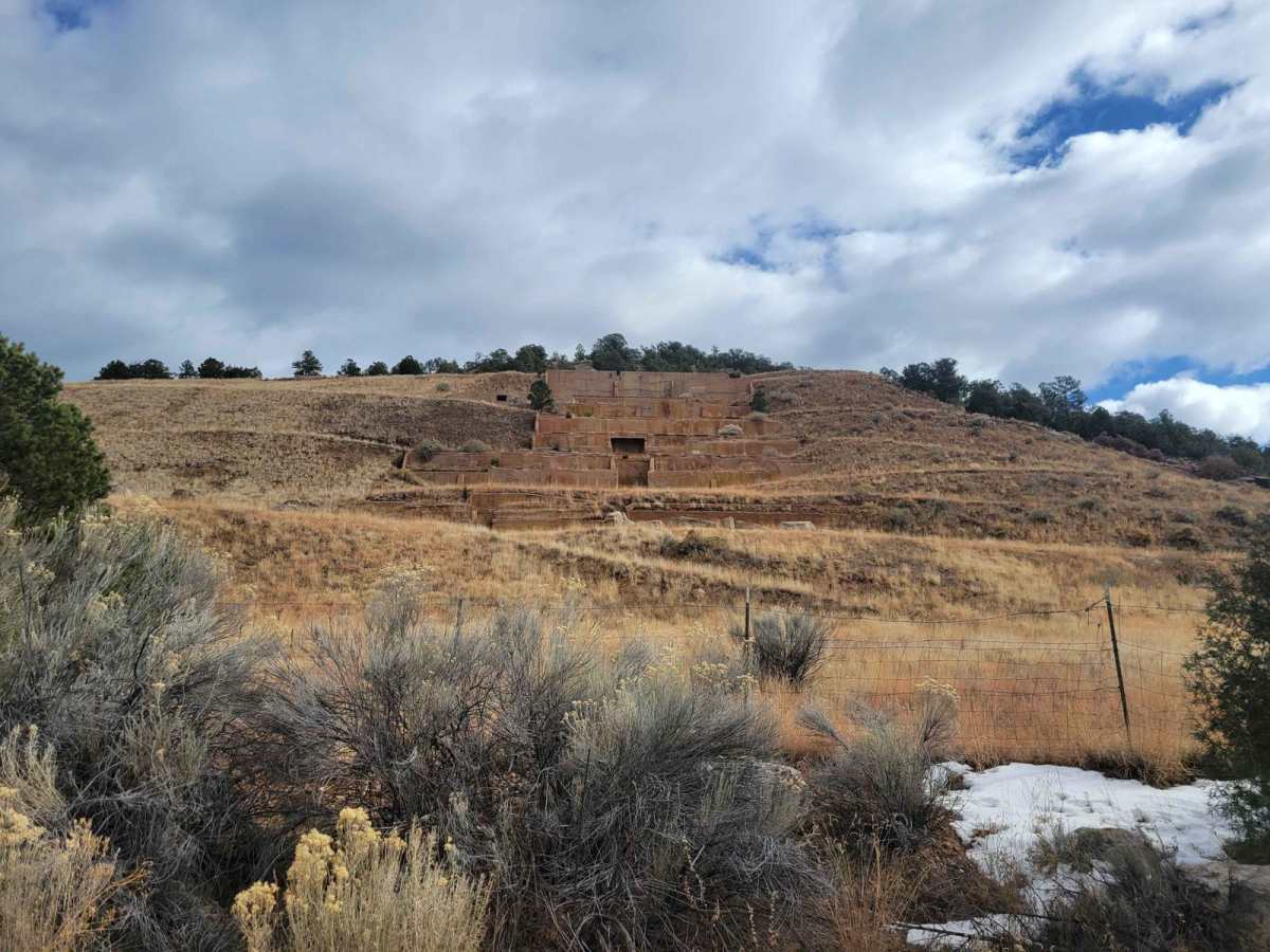
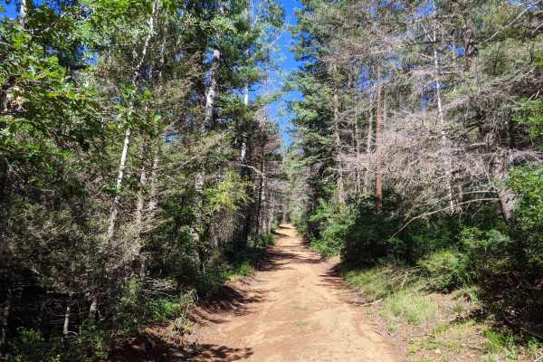
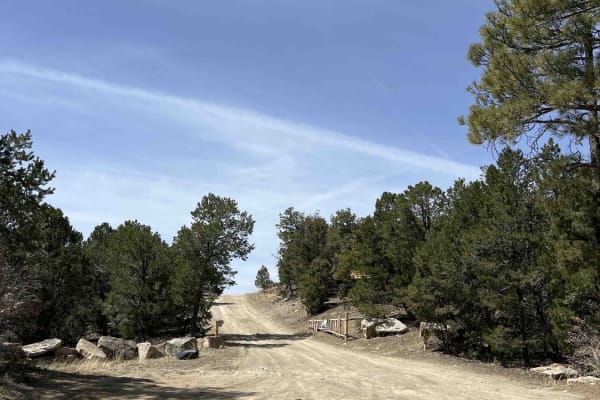
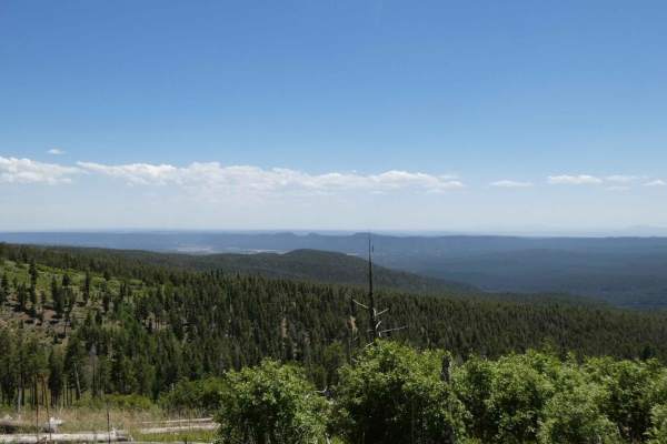
Molino Meadows is an easy, scenic two-mile trail ideal for beginners, family outings, and high-clearance vehicles looking to explore the beautiful rolling foothills of the Sangre de Cristo Mountains. This wide, graded dirt road offers a gentle climb with a starting elevation of 7,154 feet, rising just under 200 feet to a maximum of 7,349 feet. Along the way, offroaders are treated to expansive vistas of wide-open New Mexico meadows and curious historical landmarks, including old Civilian Conservation Corps (CCC) project sites. The trail is rated a 1 out of 10, making it highly accessible to stock four-wheel-drive vehicles, SxSs, and most standard SUVs in dry conditions.
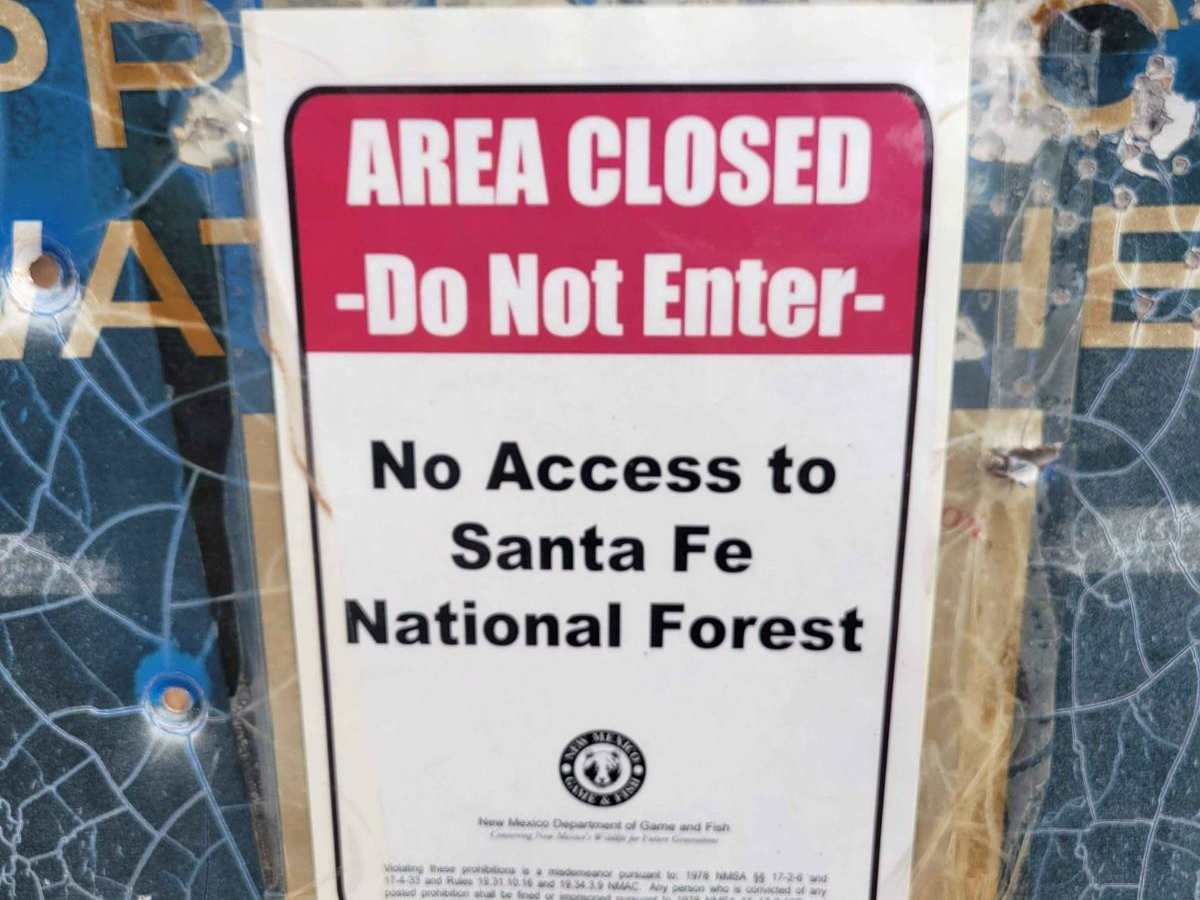
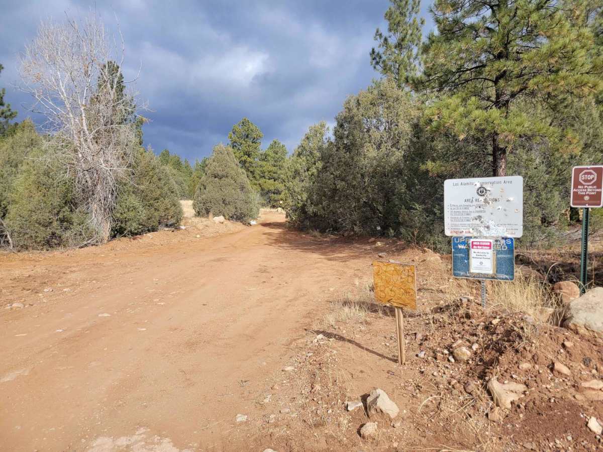
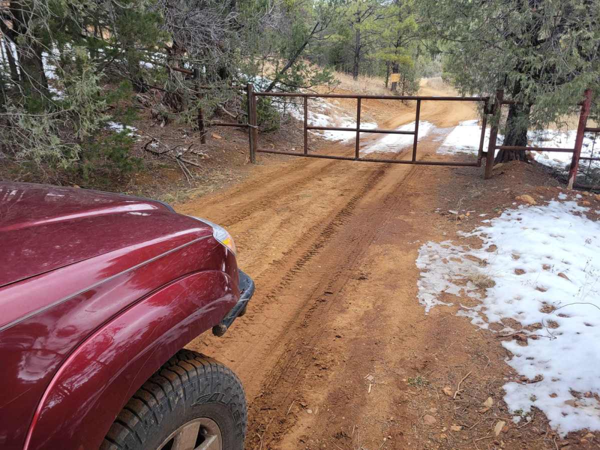
While maps may indicate this trail connects to the National Forest, the route currently dead-ends at a closed gate, preventing northern access to Forest Service Road 50A. Just before this gate, the road forks; the left fork remains open up to the gate, while the right fork is restricted and closed to the general public. Because the trail traverses New Mexico State Land, visitors must respect posted conservation signs from NM Department of Game and Fish, as certain areas on either side of the trail experience intermittent closures to protect local wildlife.
Access Description
This route traverses New Mexico State Land and dead-ends at a closed gate, blocking access to Forest Service Road 50A to the north. Near the gate, the right fork is closed to the public and reserved for park rangers, while the left fork remains open until the gate. Visitors must obey all posted signs from New Mexico Department of Game and Fish, as conservation efforts can cause intermittent closures on either side of the trail.