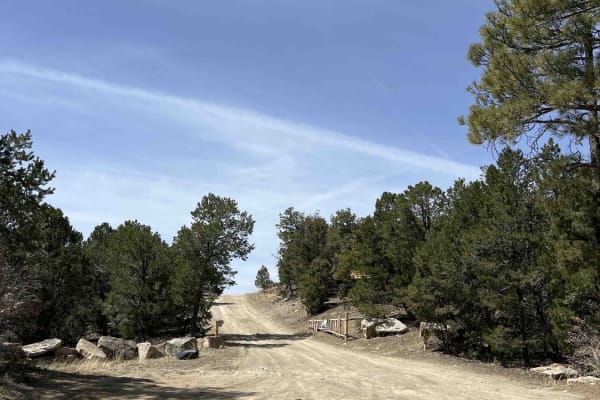
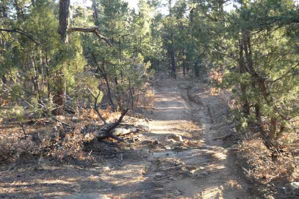
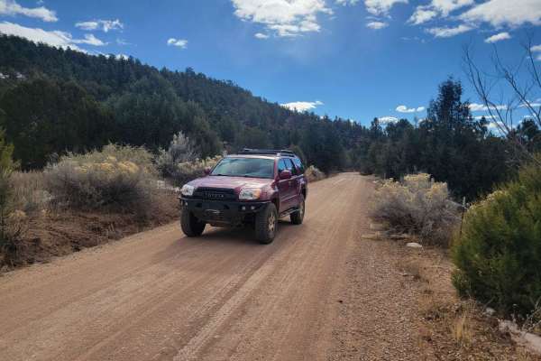
Trail Overview
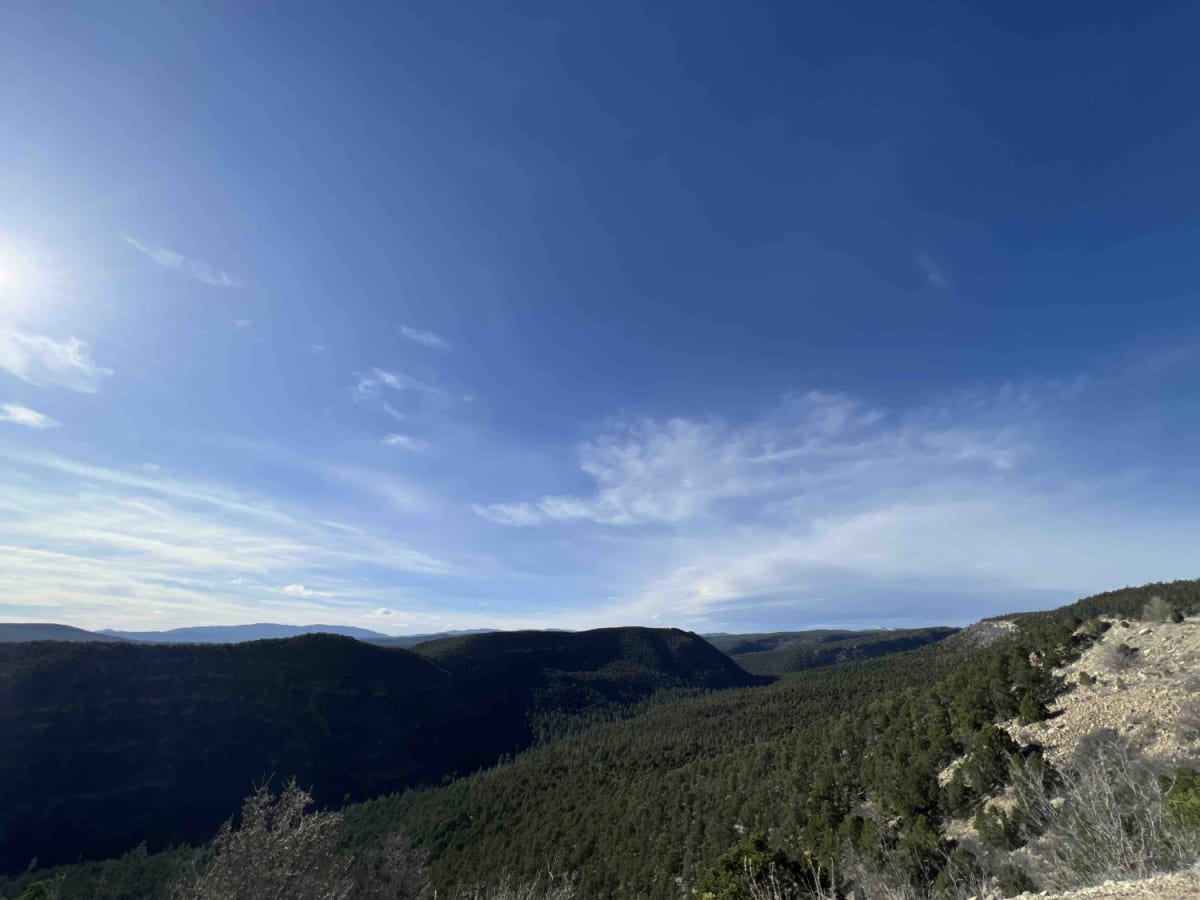
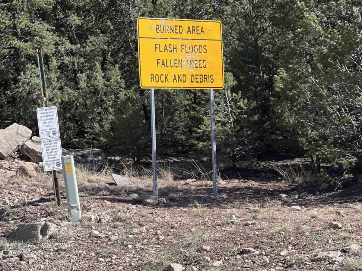
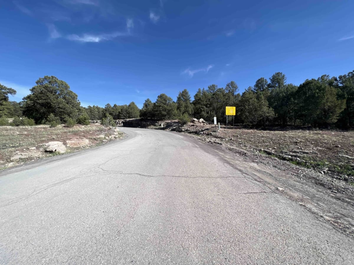
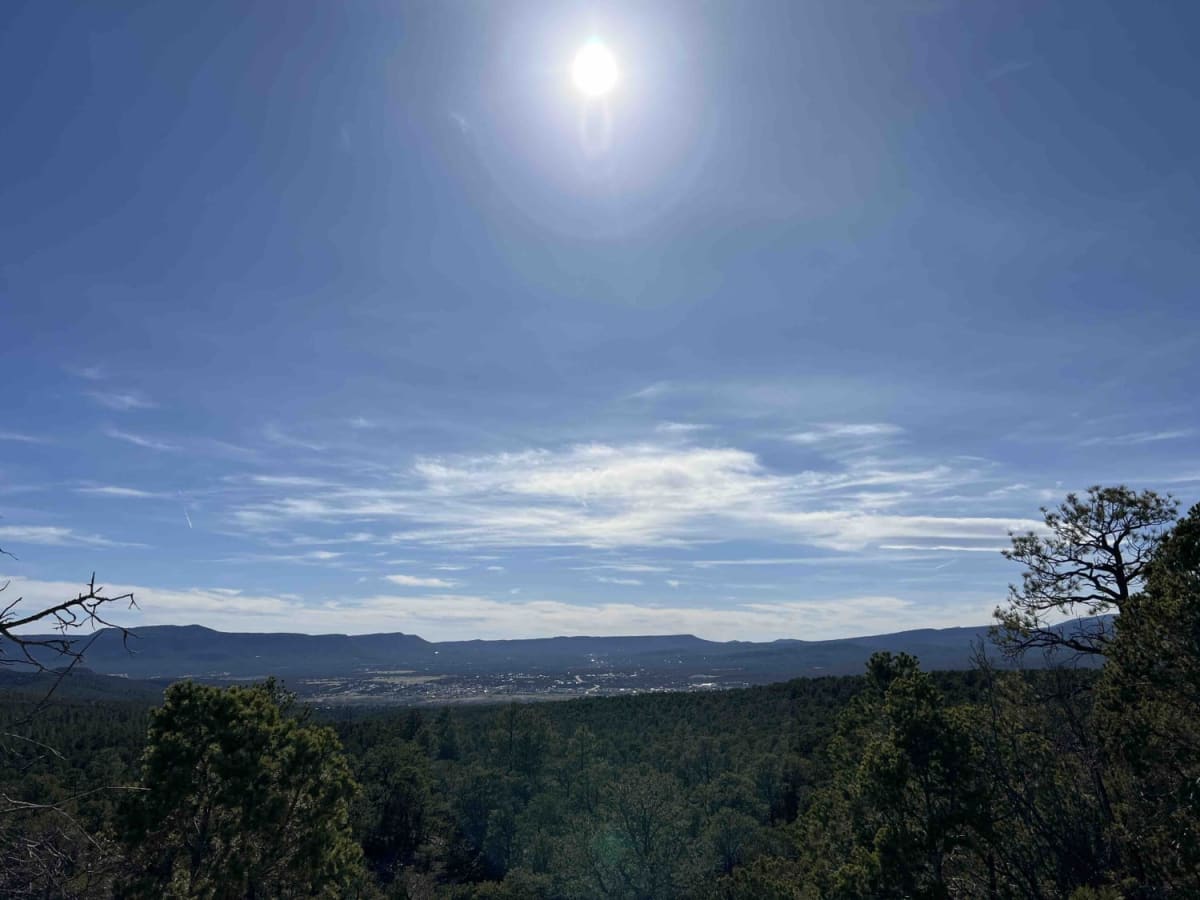
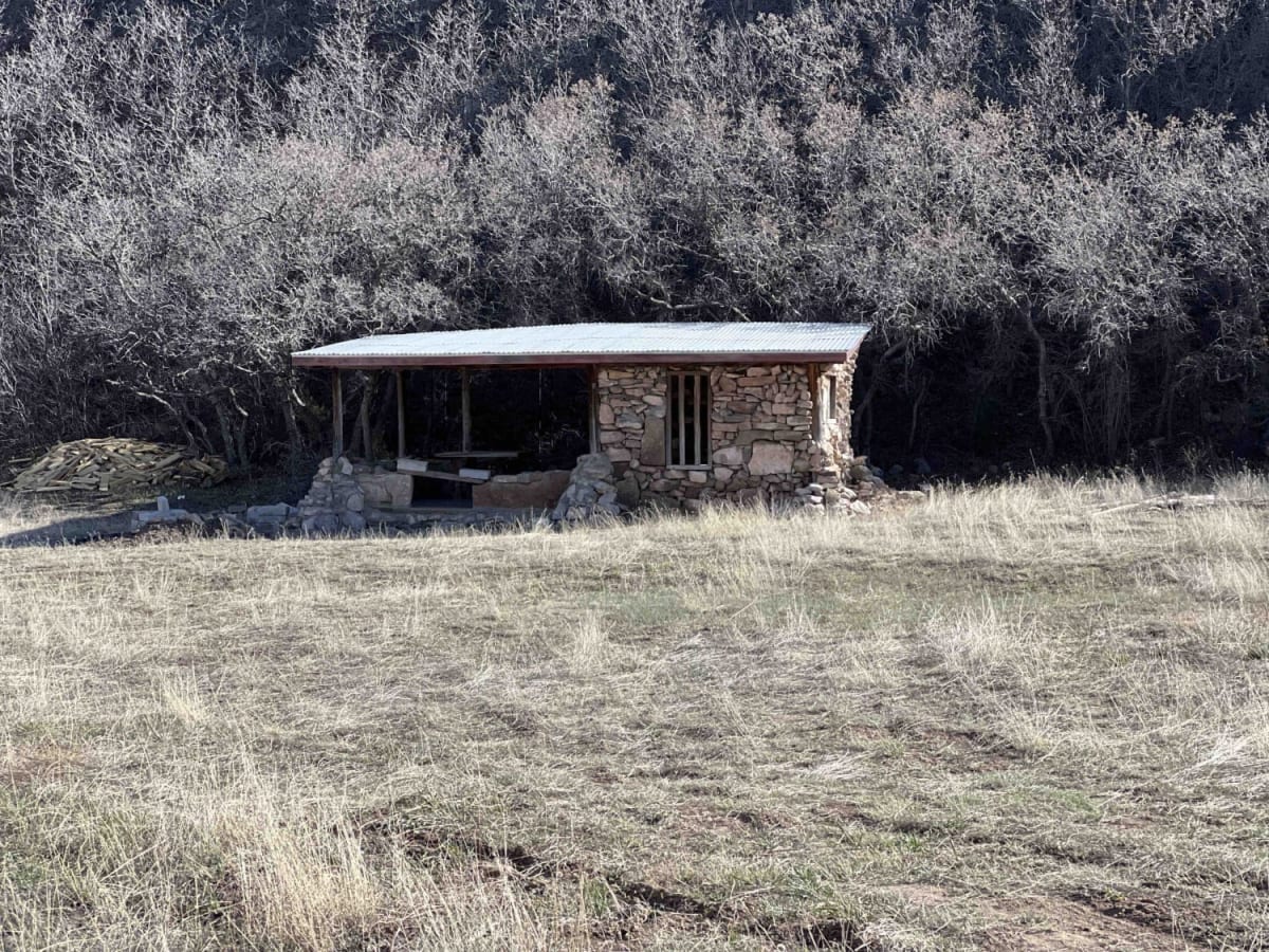
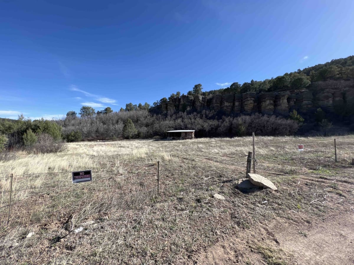
When I tell people I'm in New Mexico, they automatically think about the desert, but the Santa Fe National forest encompasses 1.6 million acres of mountains, valley's and mesa's. This trail ranges from an elevation of 6,852 feet to an elevation of 8,529 feet. The road winds and twists through the forest then turning to find a million dollar view of the mountains. You will also find beautiful campsites with stunning views of the sunsets. Pine trees line these forests and you can hear the sound of woodpeckers in the trees in the mornings. There are a number of hiking trails in the area to explore along with waterfalls as well. Pecos Barillas is a gravel/dirt road that has some areas where cars are not recommended. There are dispersed camping areas along this route as well as several state ran campsites, however they are open May-October and do have restrooms, a camp host, water and firewood. Cell phone service was attainable along this route in certain areas.
Difficulty
This is a steep dirt road at times with boulders, steep drops off's, rock cliffs, and a one-lane road.
History
Stories of the old Santa Fe Trail can be read here on this site. http://archive.org/details/storiesofoldsant00inmarich/page/n9/mode/2up?view=theater