
Dirt Bike Trails
Near Jennings, Michigan
Explore All Dirt Bike Trails Near Jennings, Michigan
Dirt Bike Trails Near Jennings, Michigan
Discover the best dirt bike trails near you. Browse trail maps, check difficulty ratings, and find your next adventure — whether you're looking for a quick ride or an all-day expedition.
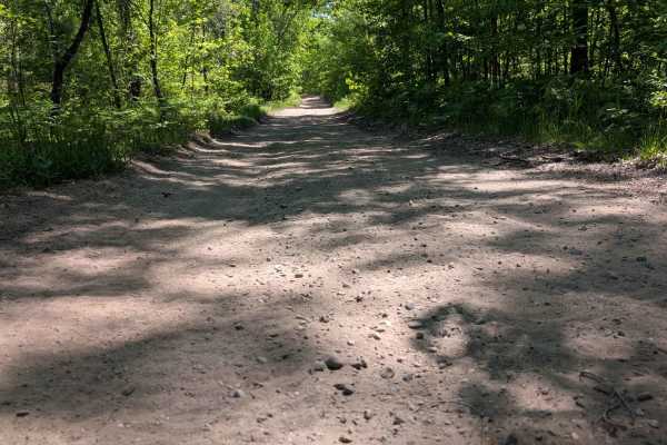
3895
This sandy track is wide enough for two vehicles. There are little elevation changes, but the trail winds nicely through the woods. The portion of state land that this trail runs through has been set aside for the local school to utilize for studies. During the winter months, the trail is snowmobile...
Learn more about 3895
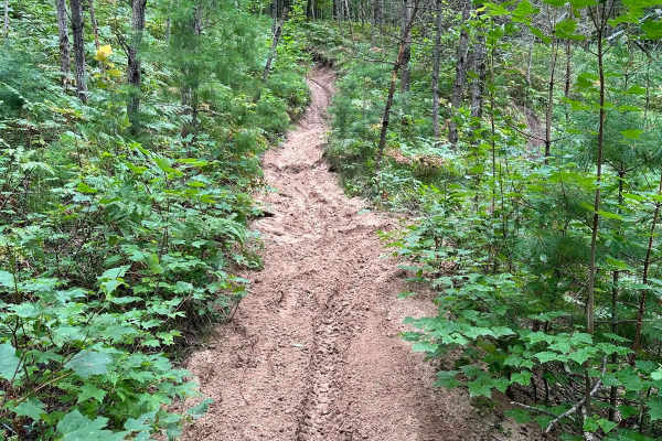
Sand Lake Motorcycle Trail
Sand Lake Motorcycle Trail is a nice skills test for riders in Michigan's lower peninsula. This trail has a little bit of everything. Sand, rocks, roots, hill climbs, ruts, and more. Although most riders could eventually get through this trail, it could be considered very difficult for learning ride...
Learn more about Sand Lake Motorcycle Trail
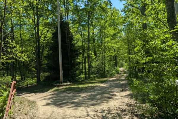
Dyer Lake Trail
This twisty, turny trail is a sandy two-track with very little elevation change. It runs between North Green Road and North Menzies Road. The portion of the trail west of M66 is wide and very sandy. The portion east of M66 is dirt-based and very narrow. Some areas are overgrown. This trail is part o...
Learn more about Dyer Lake Trail
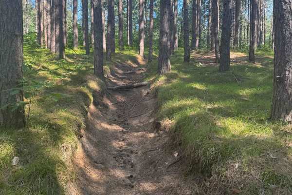
Missaukee Junction
Missaukee Junction offers a rugged and diverse challenge for riders tackling Michigan's trail system. Although technically classified as a 50" trail, some sections can get fairly narrow, testing both rider skill and machine handling. This trail is primarily ridden and maintained by dirt bikers, and ...
Learn more about Missaukee Junction
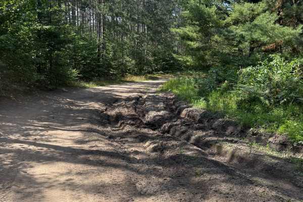
E 26-1/4 Trail
E 26-1/4 Trail is a wildly scenic 1.8-mile bidirectional trail within the Cadillac Forest Management Unit. Located between 28 3/4 Road and 26 1/4 it is easily accessible. This trail surface consists mostly of a sand/dirt combination. This route will surely keep you on your toes between the sandy ber...
Learn more about E 26-1/4 Trail
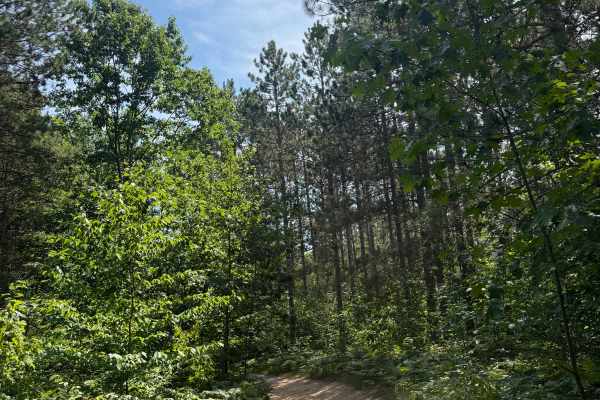
S 29 Trail
S 29 Trail is a laid-back and scenic bidirectional trail within the Cadillac Forest Management Unit. Located between South 29 Road and 28 3/4 Road, this trail is easily accessible. This trail surface consists of a mostly dirt and sand combination with a little bit of gravel mixed throughout. This ro...
Learn more about S 29 Trail
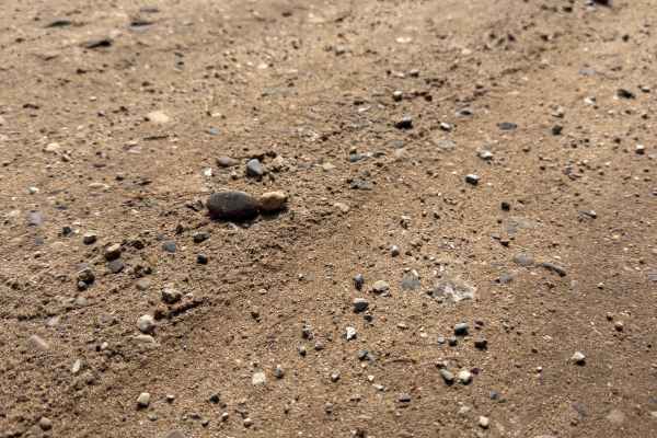
Stoddard Lake Road - FS 9987
FS 9987 is a laid-back, bidirectional 1.7-mile off-road trail within the Manistee National Forest. Located between East 20 1/2 Road and East No. 22 Road, this trail is easily accessible. This trail consists of a mostly gravel surface with a few areas of a dirt and sand combination. This route tracks...
Learn more about Stoddard Lake Road - FS 9987
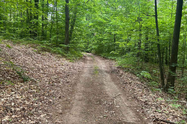
FS 5338 North
FS 5338 permits full-size vehicles; however, the trail is beginning to get overgrown and is lightly traveled, except for some pinstriping and some branches near windshield height. Trail consist of a gravel/sand base similar to most other USFS trails in the area. Cellular service is very spotty on th...
Learn more about FS 5338 North
FS 5361
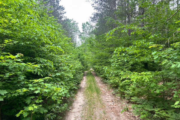
FS 5361 splits off the east side of FS 5338. It starts as a good-condition Forest Service road and gradually gets more overgrown, along with off-camber sections and downed trees/limbs in the trail. Cellular service is unavailable or very weak for most of the trail. Always check USFS postings for up-...
Learn more about FS 5361
FS 5338 S
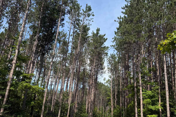
FS 5338 S is another laid-back and scenic 1.4-mile bidirectional trail within the Manistee National Forest. Located between FS 5348 South and FS 5338 North, this trail is easily accessible within this area's network of trails. You can either begin this trail directly off FS 5348 South or go down FS ...
Learn more about FS 5338 S
FS 5348 South
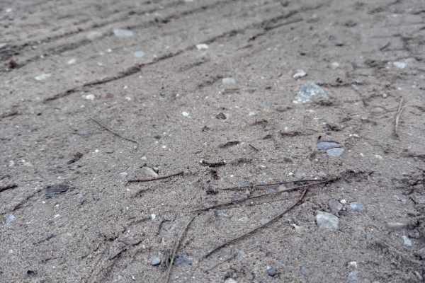
FS 5348 South is a beautiful bidirectional trail within the Manistee National Forest. Located just north of Lake Mitchell in Cadillac, this trail is easily accessible. Starting out, the trail surface consists mostly of a dirt, sand, and gravel combination. This trail quickly twists and turns through...
Learn more about FS 5348 South
FS 5348 North
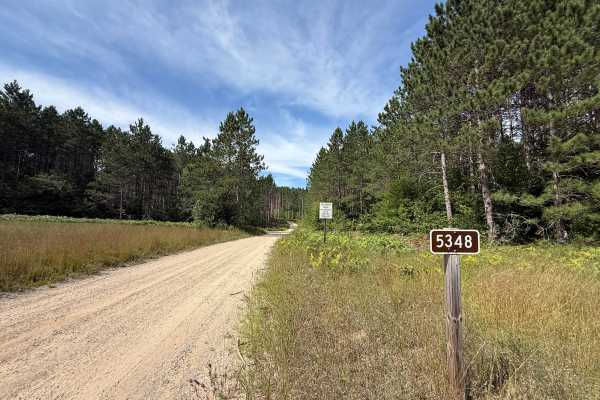
FS 5348 North is a gorgeous bidirectional trail within the Manistee National Forest. Located just north of Lake Mitchell in Cadillac, this trail is easily accessible. Starting out, the trail surface consists mostly of a dirt, sand, and gravel combination. This trail quickly twists and turns through ...
Learn more about FS 5348 North
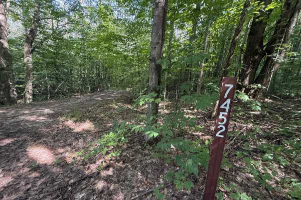
FS 7451
FS 7451 is a quick but unique bidirectional trail within the Manistee National Forest. Located between FS 9987 and FS 5348 North, this trail is easily accessible. Starting out, the trail surface consists mostly of a dirt and leaf combination. This trail quickly transitions into a thick section of tr...
Learn more about FS 7451
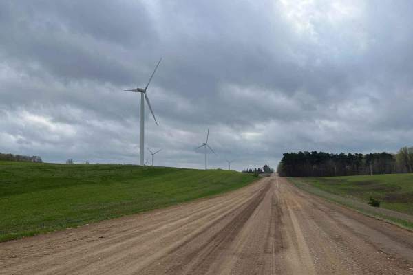
County Line Road
This trail begins on a standard dirt road with great views of the windmills and farm fields. The elevation lowers as you approach the entrance to the seasonal road, where you will enter a thick wooded area. This trail features a few obstacles and has plenty of wildlife/plant life to see. You will li...
Learn more about County Line Road
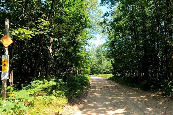
North Missaukee Route & MCCCT Trail/Africa Loop
This is a mostly meandering dirt trail until you reach the upper lip; then the trail narrows and climbs. This trail is a loop that can be navigated either way. The elevation changes dramatically near the northern part of the trail, when the trail becomes a narrow two-track with a steep drop-off. For...
Learn more about North Missaukee Route & MCCCT Trail/Africa Loop
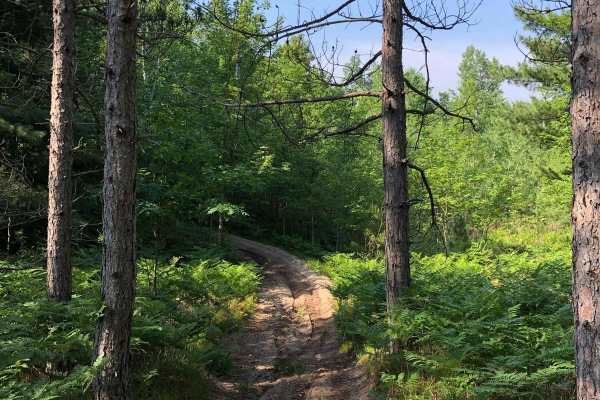
North Missaukee Trail - 14478 & 14167
North Missaukee Trail - MCCCT Sections 14478 & 14167 is a section of the 750-mile Michigan Cross Country Cycle Trail (MCCCT). This 7-mile section consists of a groomed 50" ORV trail. Like most lower Michigan trails this is made almost entirely of sand. Dust can be a problem in dry conditions. This t...
Learn more about North Missaukee Trail - 14478 & 14167
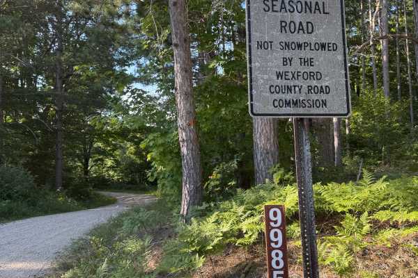
FS 9985
FS 9985 is a quick bidirectional off road trail within the Manistee National Forest. Located between East No. 22 Road and East 22 Road, this trail is easily accessible. This is a seasonal road that is not snowplowed by the Wexford County Road Commission. The trail surface consists of a mostly gravel...
Learn more about FS 9985
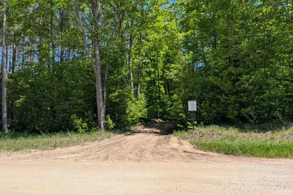
Simpson Trail
This is a really nice trail that has some elevation changes, and it meanders nicely back and forth through the trees. There is an area with a pond that comes right up to the trail, which has potential for flooding or possible washout if this area sees a lot of rainfall. The terrain is sand, dirt, an...
Learn more about Simpson Trail
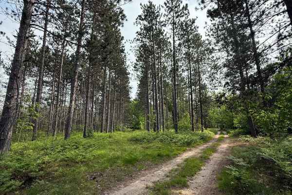
1039 Pine Trail
License Plate Required! 1039 Pine Trail is a beautiful bidirectional off-road trail located within the Cadillac Forest Management Unit. The trail starting from the east begins in a sandy, tight section of brush and short trees. The trail progressively opens up as you continue, and it transitions int...
Learn more about 1039 Pine Trail
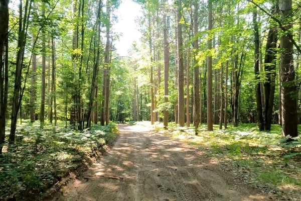
131 To Missaukee Trail
Beautiful, sandy, winding trail through the woods. This trail is open to mixed traffic. The trail begins in the snowmobile staging area off of Old 131/BUS 131. There is a large parking lot and a vault toilet. The trail meanders through the woods before coming out alongside US Route 131. The two-lane...
Learn more about 131 To Missaukee Trail
ATV trails near Jennings, Michigan
Explore ATV-friendly trails near you. These trails are accessible for vehicles up to 50 inches wide, perfect for ATVs and smaller off-road machines.
3895
This sandy track is wide enough for two vehicles. There are little elevation changes, but the trail winds nicely through the woods. The portion of state land that this trail runs through has been set aside for the local school to utilize for studies. During the winter months, the trail is snowmobile...
Learn more about 3895
Dyer Lake Trail
This twisty, turny trail is a sandy two-track with very little elevation change. It runs between North Green Road and North Menzies Road. The portion of the trail west of M66 is wide and very sandy. The portion east of M66 is dirt-based and very narrow. Some areas are overgrown. This trail is part o...
Learn more about Dyer Lake Trail
Missaukee Junction
Missaukee Junction offers a rugged and diverse challenge for riders tackling Michigan's trail system. Although technically classified as a 50" trail, some sections can get fairly narrow, testing both rider skill and machine handling. This trail is primarily ridden and maintained by dirt bikers, and ...
Learn more about Missaukee Junction
E 26-1/4 Trail
E 26-1/4 Trail is a wildly scenic 1.8-mile bidirectional trail within the Cadillac Forest Management Unit. Located between 28 3/4 Road and 26 1/4 it is easily accessible. This trail surface consists mostly of a sand/dirt combination. This route will surely keep you on your toes between the sandy ber...
Learn more about E 26-1/4 Trail
UTV/side-by-side trails near Jennings, Michigan
Find UTV and side-by-side trails near you. These trails accommodate vehicles up to 60 inches wide, ideal for UTVs, side-by-sides, and wider off-road rigs.
3895
This sandy track is wide enough for two vehicles. There are little elevation changes, but the trail winds nicely through the woods. The portion of state land that this trail runs through has been set aside for the local school to utilize for studies. During the winter months, the trail is snowmobile...
Learn more about 3895
Dyer Lake Trail
This twisty, turny trail is a sandy two-track with very little elevation change. It runs between North Green Road and North Menzies Road. The portion of the trail west of M66 is wide and very sandy. The portion east of M66 is dirt-based and very narrow. Some areas are overgrown. This trail is part o...
Learn more about Dyer Lake Trail
E 26-1/4 Trail
E 26-1/4 Trail is a wildly scenic 1.8-mile bidirectional trail within the Cadillac Forest Management Unit. Located between 28 3/4 Road and 26 1/4 it is easily accessible. This trail surface consists mostly of a sand/dirt combination. This route will surely keep you on your toes between the sandy ber...
Learn more about E 26-1/4 Trail
S 29 Trail
S 29 Trail is a laid-back and scenic bidirectional trail within the Cadillac Forest Management Unit. Located between South 29 Road and 28 3/4 Road, this trail is easily accessible. This trail surface consists of a mostly dirt and sand combination with a little bit of gravel mixed throughout. This ro...
Learn more about S 29 Trail
The onX Offroad Difference
onX Offroad combines trail photos, descriptions, difficulty ratings, width restrictions, seasonality, and more in a user-friendly interface. Available on all devices, with offline access and full compatibility with CarPlay and Android Auto. Discover what you're missing today!
Open Trail Map