Dyer Lake Trail

Total Miles2.4
Technical Rating
1Easy
Best TimeSpring, Summer, Fall
Trail TypeFull-Width Road
Accessible By
Open Trail Map

Trail Overview

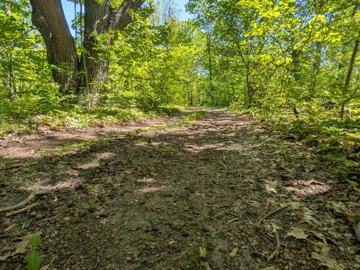
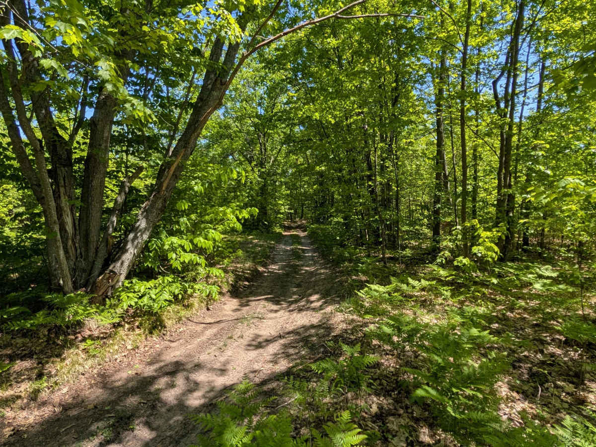
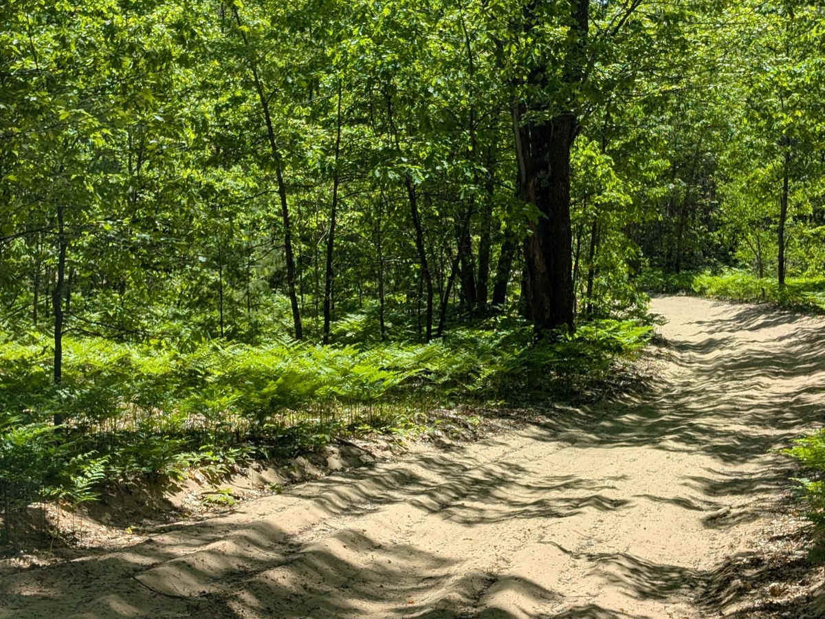
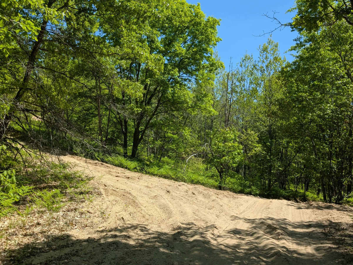
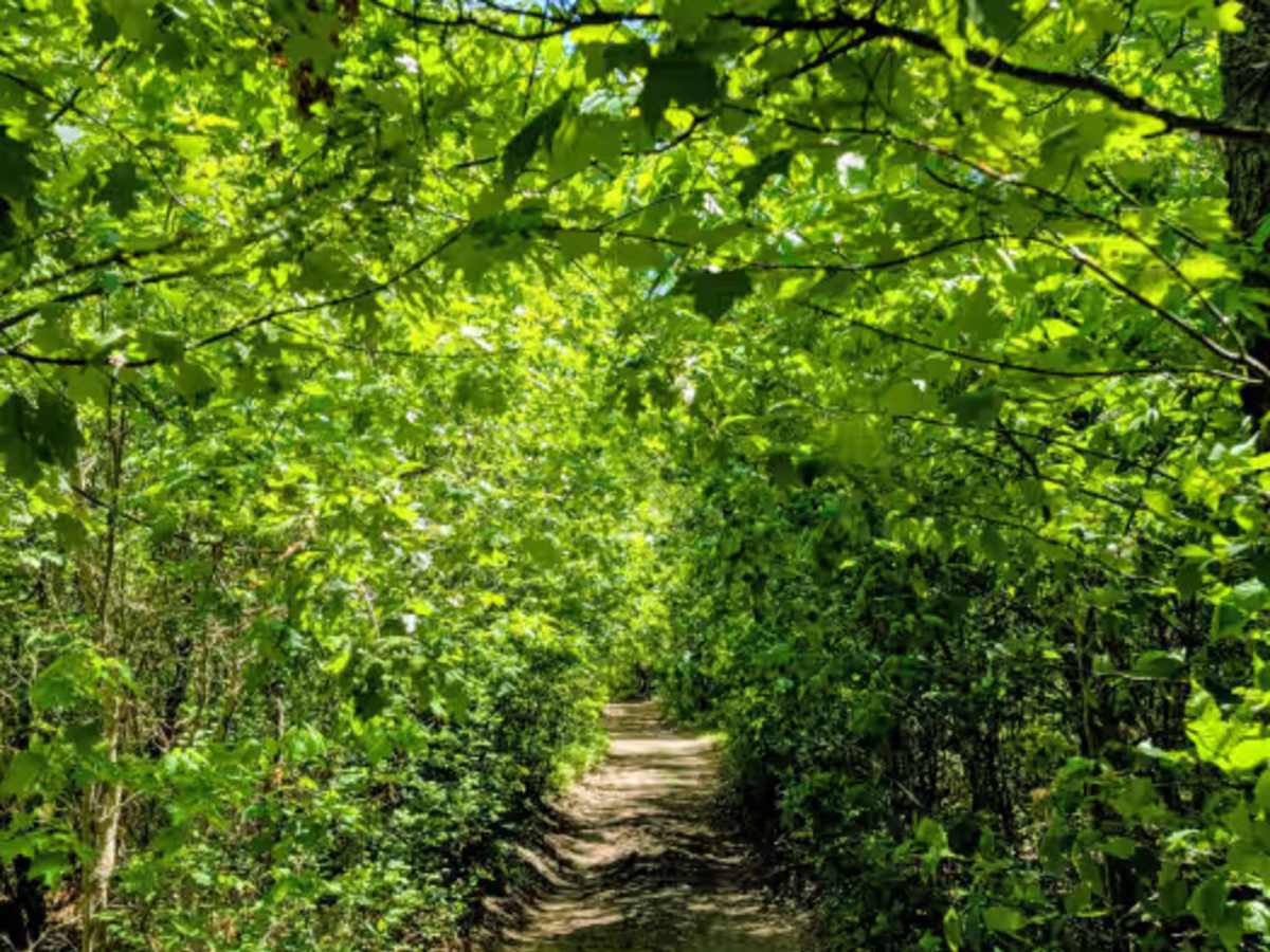
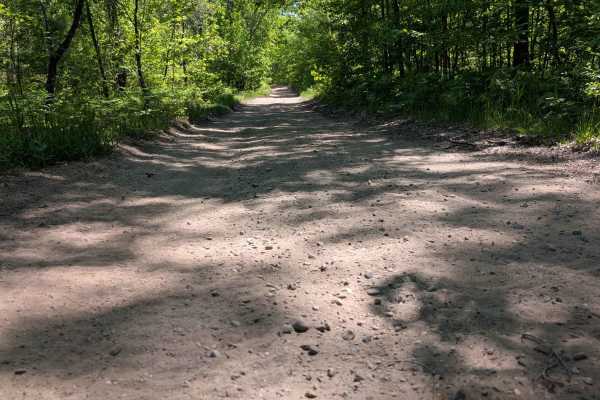
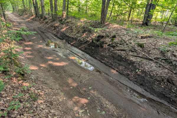
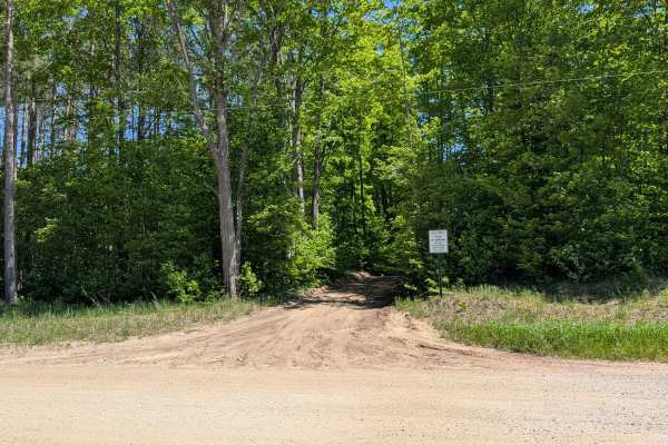
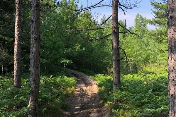
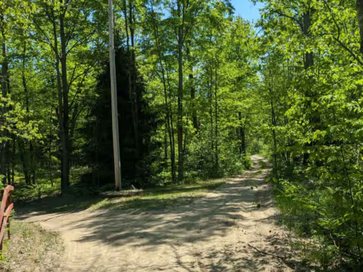
This twisty, turny trail is a sandy two-track with very little elevation change. It runs between North Green Road and North Menzies Road. The portion of the trail west of M66 is wide and very sandy. The portion east of M66 is dirt-based and very narrow. Some areas are overgrown. This trail is part of snowmobile trail LP 651 during the winter months and closed to wheeled traffic.

Photos of Dyer Lake Trail

Difficulty

Dirt and sandy two-track with very little elevation change.

Technical Rating

1

Status Reports

Add Status Report
Jordan Brun
Jul 23, 2026
2025 Ford Bronco
Open
Normal
Narrow two track with lots of low hanging branches and encroaching bushes along the side of the trail.

Dyer Lake Trail Trail can be accessed by the following ride types:

  • Single Track
  • 50 Inch
  • 60 Inch
  • High Clearance
  • Full Width

Dyer Lake Trail Map

The onX Offroad Difference

onX Offroad combines trail photos, descriptions, difficulty ratings, width restrictions, seasonality, and more in a user-friendly interface. Available on all devices, with offline access and full compatibility with CarPlay and Android Auto. Discover what you're missing today!

Open Trail Map