S 29 Trail

Total Miles0.9
Technical Rating
2Easy
Best TimeSpring, Summer, Fall, Winter
Trail TypeFull-Width Road
Accessible By
Open Trail Map

Trail Overview

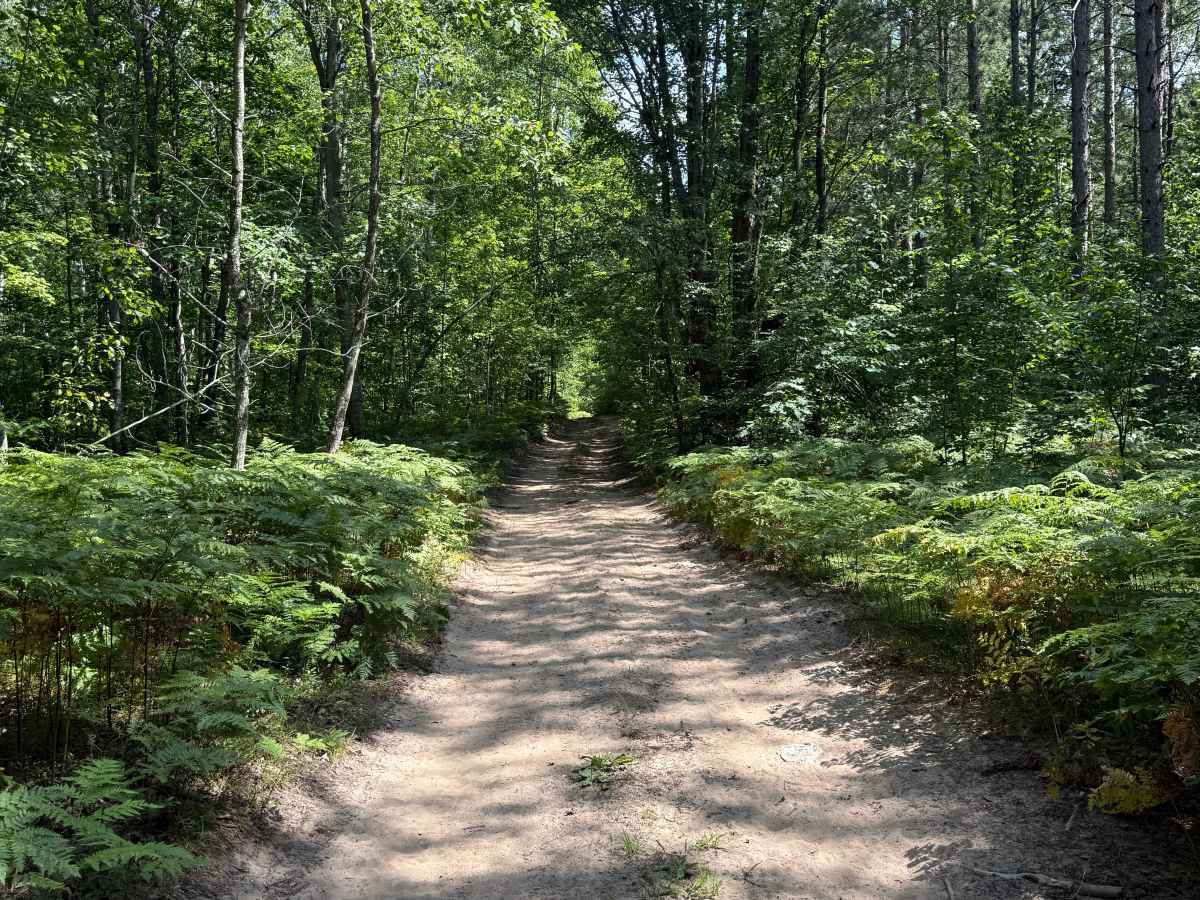
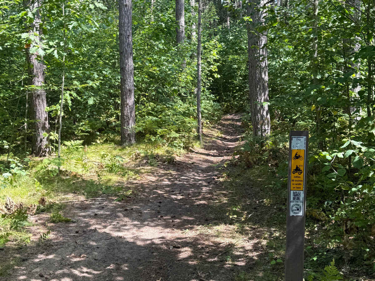
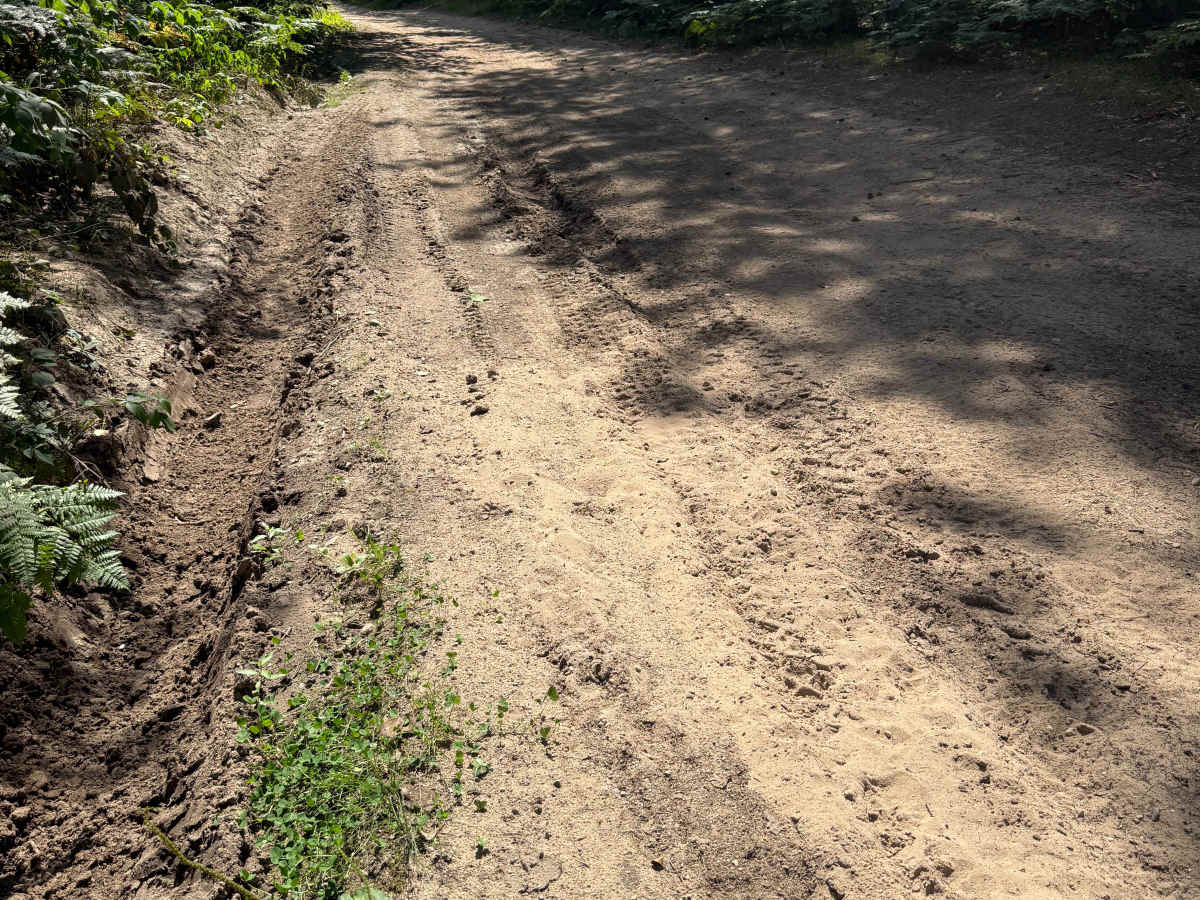
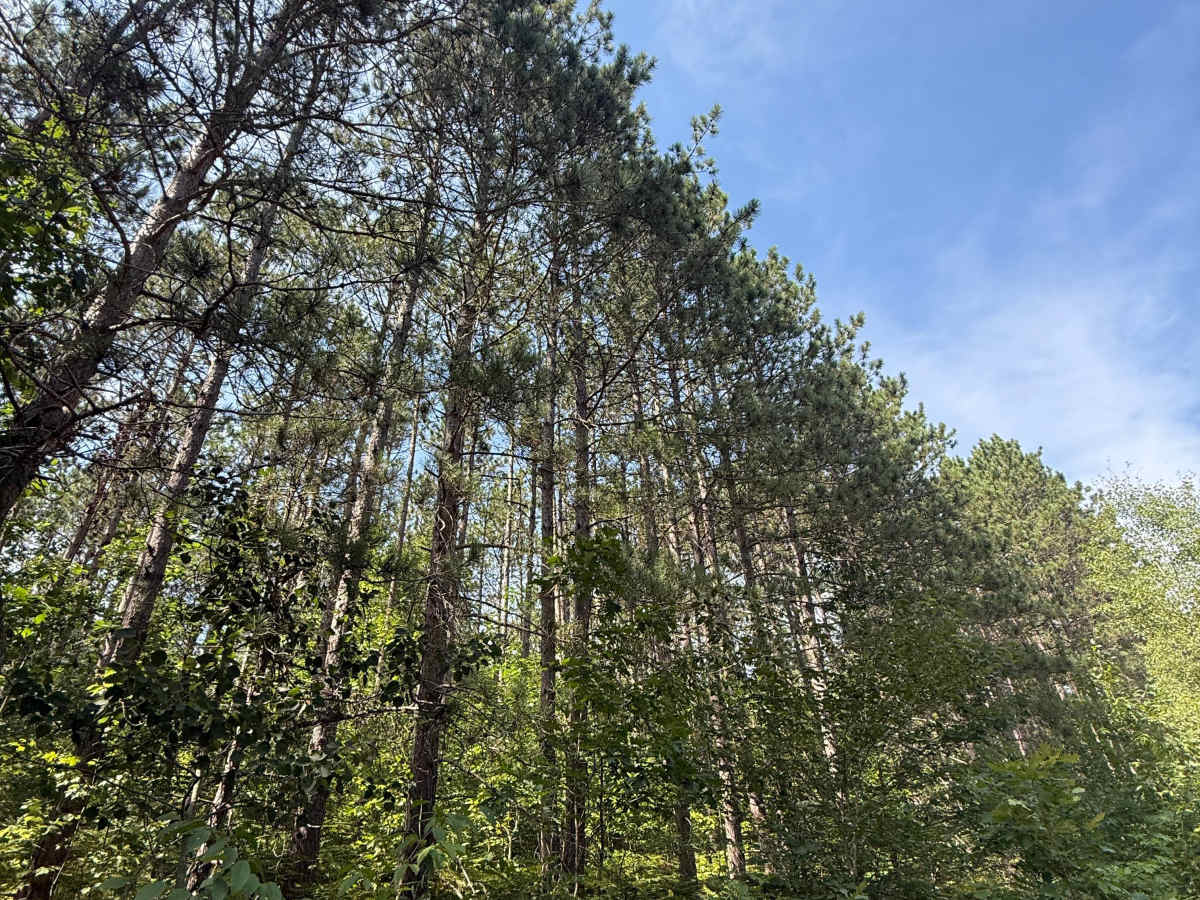
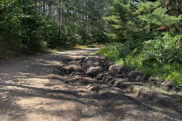
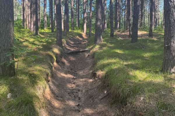
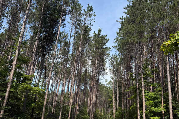
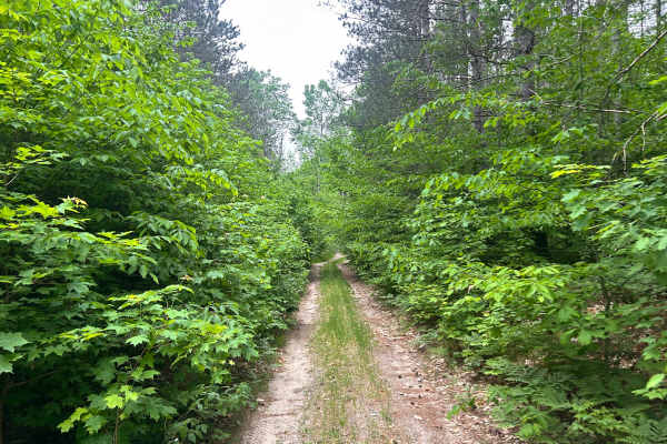
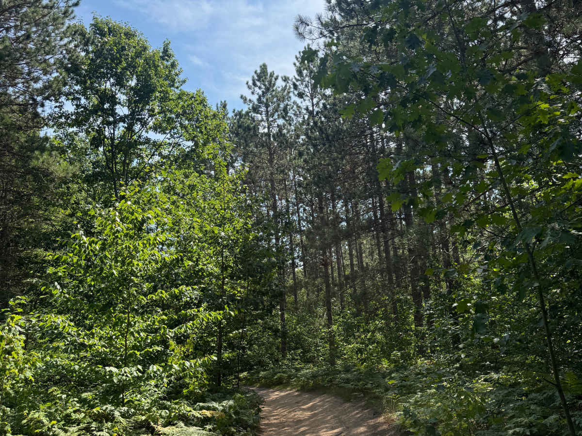
S 29 Trail is a laid-back and scenic bidirectional trail within the Cadillac Forest Management Unit. Located between South 29 Road and 28 3/4 Road, this trail is easily accessible. This trail surface consists of a mostly dirt and sand combination with a little bit of gravel mixed throughout. This route twists and turns through an absolutely beautiful portion of the forest. The trail is easygoing with no obstacles to note; however, there is a ton of fun to be had. There are a couple of places along the route where the track narrows with some tighter trees, but nothing too crazy to be concerned about. Recent rainfall can cause unfavorable conditions on the trail, including downed trees, mud holes, and washouts. Come Prepared! This trail does have a few sections where it crosses with a trail that is 50 inches in width or less, so keep that in mind as you may cross paths. Regardless of the length or conditions of this trail, it's a scenic and fun route to check out. As always, PLEASE TREAD LIGHTLY and be respectful of our public lands so future generations can have access to these trails!

Photos of S 29 Trail

Difficulty

This was only given a Technical Rating & Difficulty of 2 because the trail is typically only wide enough for 1 to 2 vehicles. Otherwise, this trail could be rated as a 1.

Technical Rating

2

S 29 Trail Trail can be accessed by the following ride types:

  • Single Track
  • 50 Inch
  • 60 Inch
  • High Clearance
  • Full Width

S 29 Trail Map

The onX Offroad Difference

onX Offroad combines trail photos, descriptions, difficulty ratings, width restrictions, seasonality, and more in a user-friendly interface. Available on all devices, with offline access and full compatibility with CarPlay and Android Auto. Discover what you're missing today!

Open Trail Map