
Dirt Bike Trails
Near Hornbrook, California
Explore All Dirt Bike Trails Near Hornbrook, California
Dirt Bike Trails Near Hornbrook, California
Discover the best dirt bike trails near you. Browse trail maps, check difficulty ratings, and find your next adventure — whether you're looking for a quick ride or an all-day expedition.
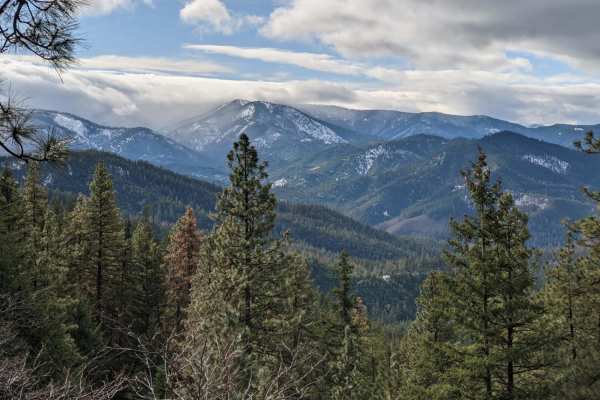
Long Way to Little Applegate River
Long Way to Little Applegate River is a scenic and straightforward point-to-point connection road that provides beginner offroaders and scenic tourers with a direct transition from the valleys of Talent, Oregon, into the deep backcountry of the Rogue River-Siskiyou National Forest. This 10.6-mile ro...
Learn more about Long Way to Little Applegate River
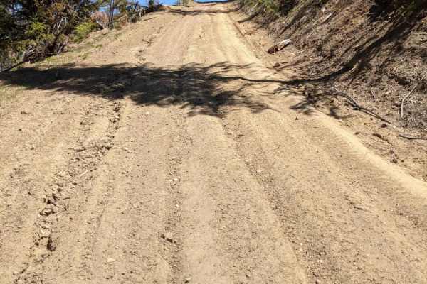
Wagner & Siskiyou
This is a great run from Wagner Creek through parts of Siskiyou Pass to Maple Dell Gap. From Maple Dell Gap you can continue on to Squaw Lake or head north and reconnect with Siskiyou Pass. You can also head South into CA. We ran this trail Memorial Day weekend and encountered a downed tree and c...
Learn more about Wagner & Siskiyou
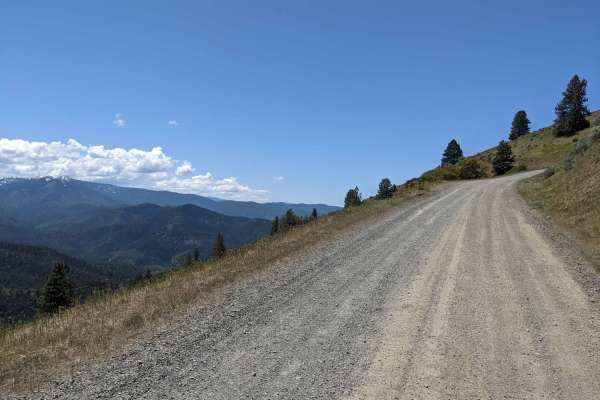
Anderson Butte Road
Anderson Butte Road is exceptionally scenic and can be run in most seasons. There are not many obstacles, though there are a couple of off-shoots that are fun (including Picnic Trail which is a nice spot for camping or a picnic). The road is largely a well maintained dirt/gravel road, with very fe...
Learn more about Anderson Butte Road
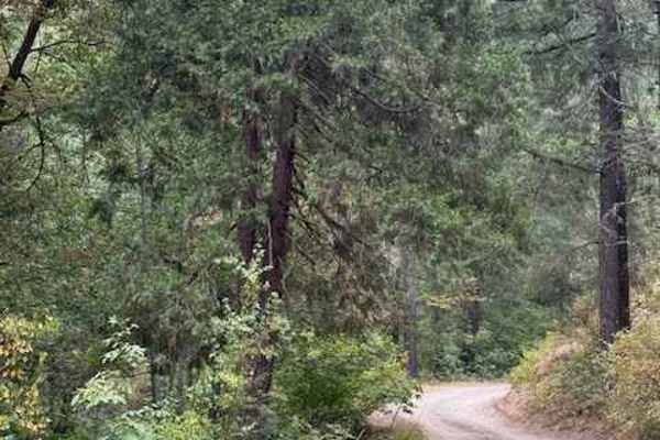
Payette Trail - FS 970
Payette Trail #970 is accessible during late summer when the Applegate Lake water levels are lower. It is located at the southeast end of the lake off of Forest Road 1075, which takes you to Acorn Womans Lake. The trail starts off as a single wide dirt road with some turnouts to pass. As you get clo...
Learn more about Payette Trail - FS 970
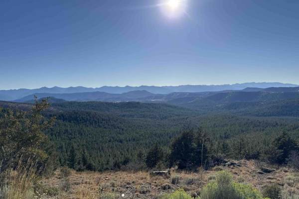
China Mountain - FS 41N03
The route begins in a stark but beautifully scenic forest recovering from wildfire, eventually transitioning into a lush, green canopy as it climbs higher into the Klamath National Forest. Starting from the Gazelle Callan Highway - FS 2H01, the first couple of miles cross a metal cattle guard and wi...
Learn more about China Mountain - FS 41N03
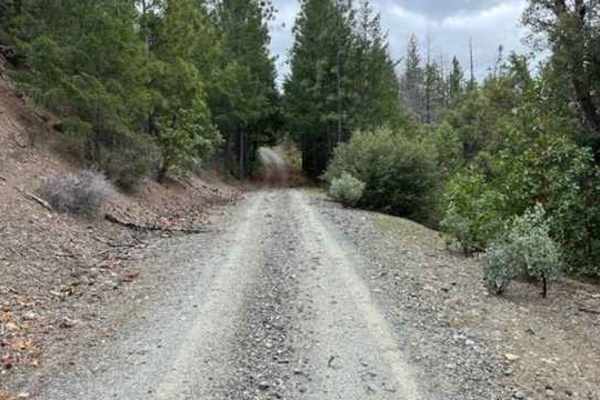
Spur Road
This is a spur road following Palmer creek. There are lots of active mining claims along this stretch of creek. Also lots of side roads that just dead-end. Up by Baily Gulch, there are remains of an old hard rock mine. Concrete structures. Be careful as they are still actively mining this area.
Learn more about Spur Road
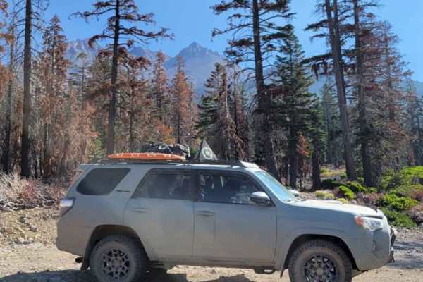
Dill Scenic Trail
The Dill Scenic Trail is an out and back at Shasta National Forest in California. There are great views of Mount Shasta as well as the surrounding mountains. This trail is not difficult by any means, but some higher ground clearance and good tires will go a long way. The trail starts out extremely d...
Learn more about Dill Scenic Trail
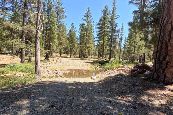
East Cabin Meadow Spur A - FS 41N04A
Set within a tranquil, high-country conifer forest interspersed with grassy alpine meadows in the Klamath National Forest, East Cabin Meadow Spur A - FS 41N04A offers a brief off-road detour. Accessed directly off of Cory Peak -FS 41N10 and East Cabin Meadow Road FS 41N04 near Callahan, this 0.4-mil...
Learn more about East Cabin Meadow Spur A - FS 41N04A
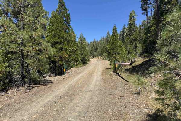
Rock Fence - FS 40N18
Rock Fence - FS 40N18 is a scenic forest route winding through a mixed evergreen forest featuring tall pine and fir trees along mountain hillsides. The trail begins wide with an uphill climb featuring long swooping steps and exposed bedrock before leveling out into softer gravel and packed dirt surf...
Learn more about Rock Fence - FS 40N18
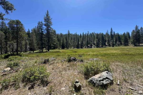
Cory Peak - FS 41N10
Cory Peak - FS 41N10 winds through a tall pine and fir forest with peaceful, sun-dappled clearings. The adventure starts as a wide, well-travelled logging road until reaching the junction with China Mountain - FS 41N03. From there, the path gradually climbs up the mountain slope while narrowing down...
Learn more about Cory Peak - FS 41N10
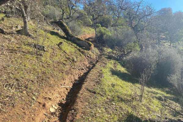
Fugawe Loop
This route includes rough trails, rocks, ruts, tree roots, and very steep hills (some are longer than others). It has tight, technical single track trails with some flowy, fast spots, some deep ruts, fallen trees, and some exposed spots. It's mostly a narrow trail but is a good loop to do with a sma...
Learn more about Fugawe Loop
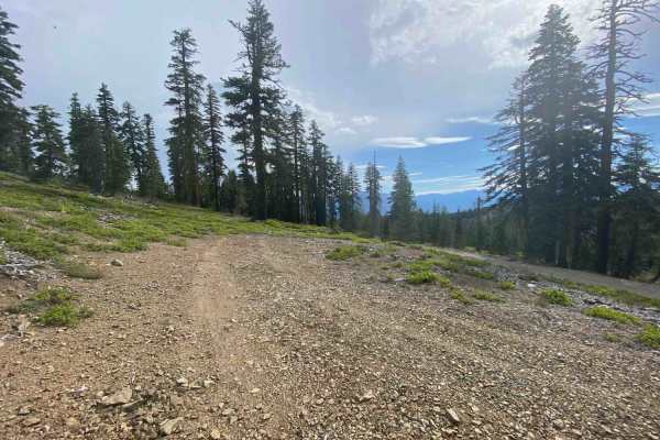
Kangaroo Lake View - FS 40N62
This route winds through a subalpine conifer forest filled with towering pines, fragrant firs, bleached tree roots, and dense manzanita brush. Travelers reach this trail via Rail Creek Road - FS 42N17 or nearby Gazelle Callahan Road, routes frequently utilized by the public to access popular outdoor...
Learn more about Kangaroo Lake View - FS 40N62
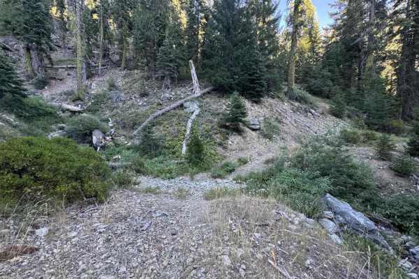
Cooper Meadow - FS 40N76
Cooper Meadow - FS 40N76 offers an engaging mountain drive nestled within the serene, pine-scented evergreen woods of the Klamath National Forest. Easily accessed from the main connector road through Cooper Meadow, this trail provides visitors access to scenic dispersed camping spots, quiet backcoun...
Learn more about Cooper Meadow - FS 40N76
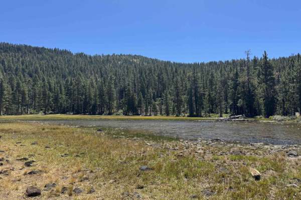
Kangaroo Creek - FS 40N08
Kangaroo Creek FS 40N62 offers a scenic, sweeping mountain journey through picturesque forests filled with mullein, bright wildflowers, and lush green grasses managed by the Klamath National Forest. Accessed at the end of a long, well-traveled dirt road beyond local ranch houses, this route serves a...
Learn more about Kangaroo Creek - FS 40N08
Cooper Meadow Spur A - FS 40N67A
Cooper Meadow Spur A - FS 40N67A winds through a dynamic forest landscape recovering from past wildfires and timber harvesting in the Klamath National Forest. Accessible by turning off the main soft dirt incline onto a loose gravel track, this route offers outdoor enthusiasts access to higher-elevat...
Learn more about Cooper Meadow Spur A - FS 40N67A
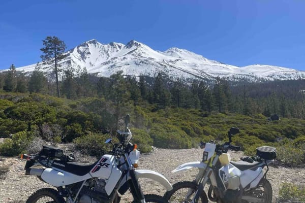
Rocky Road
This is an awesome route that takes you through some timber cuts and up and over some hills into weeds. The road is full of sun with some challenges along the way. Be aware that this route will go all the way through the weeds or to Mount Shasta City, depending on the route of travel.
Learn more about Rocky Road
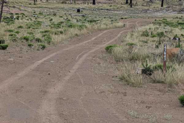
Chipmonk - FS 43N43
This 2-mile loop trail begins and ends on Railroad Grade 77, serving as an accessible route through a landscape defined by the 2021 Antelope Forest Fire. The first section traverses a vast clear-cut area where the fire’s intensity necessitated significant removal of timber, leaving behind expansive ...
Learn more about Chipmonk - FS 43N43
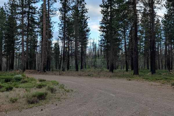
Little Horse - FS 43N03
This trail is just over 4 miles and functions as a point-to-point track, starting on Railroad Grade 77 and ending on Stevens Pass. The trail cuts through the Klamath National Forest in an area affected by the 2021 Antelope Fire, which burned over 154,000 acres. Visitors should check local fire restr...
Learn more about Little Horse - FS 43N03
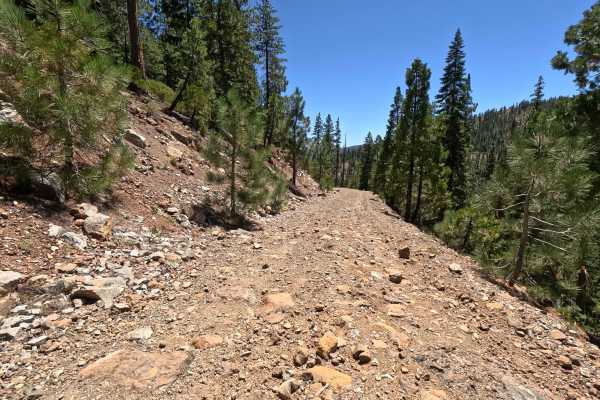
Deer Creek - FS 40N27
Climbing up from the scenic North Shore Road of Lake Siskiyou into the lush, towering pine and fir canopies managed by the Shasta National Forest, Deer Creek - FS 40N27 offers a rugged and rowdy backcountry route. The public frequently utilizes this winding connector road to access dispersed camping...
Learn more about Deer Creek - FS 40N27
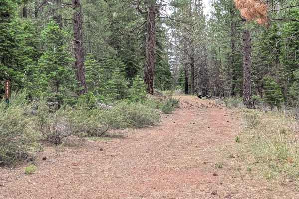
Ragwort - FS 44N12
This 7-mile point-to-point trail starts at the junction of Three Sisters and Rainbow Well and ends at Long Prairie Road, serving as one of the main east-west 4x4 trails in the Klamath National Forest. The trail cuts through a healthy and mature pine forest lined with different brush species and pine...
Learn more about Ragwort - FS 44N12
ATV trails near Hornbrook, California
Explore ATV-friendly trails near you. These trails are accessible for vehicles up to 50 inches wide, perfect for ATVs and smaller off-road machines.
Long Way to Little Applegate River
Long Way to Little Applegate River is a scenic and straightforward point-to-point connection road that provides beginner offroaders and scenic tourers with a direct transition from the valleys of Talent, Oregon, into the deep backcountry of the Rogue River-Siskiyou National Forest. This 10.6-mile ro...
Learn more about Long Way to Little Applegate River
Wagner & Siskiyou
This is a great run from Wagner Creek through parts of Siskiyou Pass to Maple Dell Gap. From Maple Dell Gap you can continue on to Squaw Lake or head north and reconnect with Siskiyou Pass. You can also head South into CA. We ran this trail Memorial Day weekend and encountered a downed tree and c...
Learn more about Wagner & Siskiyou
Anderson Butte Road
Anderson Butte Road is exceptionally scenic and can be run in most seasons. There are not many obstacles, though there are a couple of off-shoots that are fun (including Picnic Trail which is a nice spot for camping or a picnic). The road is largely a well maintained dirt/gravel road, with very fe...
Learn more about Anderson Butte Road
Payette Trail - FS 970
Payette Trail #970 is accessible during late summer when the Applegate Lake water levels are lower. It is located at the southeast end of the lake off of Forest Road 1075, which takes you to Acorn Womans Lake. The trail starts off as a single wide dirt road with some turnouts to pass. As you get clo...
Learn more about Payette Trail - FS 970
UTV/side-by-side trails near Hornbrook, California
Find UTV and side-by-side trails near you. These trails accommodate vehicles up to 60 inches wide, ideal for UTVs, side-by-sides, and wider off-road rigs.
Wagner & Siskiyou
This is a great run from Wagner Creek through parts of Siskiyou Pass to Maple Dell Gap. From Maple Dell Gap you can continue on to Squaw Lake or head north and reconnect with Siskiyou Pass. You can also head South into CA. We ran this trail Memorial Day weekend and encountered a downed tree and c...
Learn more about Wagner & Siskiyou
Anderson Butte Road
Anderson Butte Road is exceptionally scenic and can be run in most seasons. There are not many obstacles, though there are a couple of off-shoots that are fun (including Picnic Trail which is a nice spot for camping or a picnic). The road is largely a well maintained dirt/gravel road, with very fe...
Learn more about Anderson Butte Road
Payette Trail - FS 970
Payette Trail #970 is accessible during late summer when the Applegate Lake water levels are lower. It is located at the southeast end of the lake off of Forest Road 1075, which takes you to Acorn Womans Lake. The trail starts off as a single wide dirt road with some turnouts to pass. As you get clo...
Learn more about Payette Trail - FS 970
China Mountain - FS 41N03
The route begins in a stark but beautifully scenic forest recovering from wildfire, eventually transitioning into a lush, green canopy as it climbs higher into the Klamath National Forest. Starting from the Gazelle Callan Highway - FS 2H01, the first couple of miles cross a metal cattle guard and wi...
Learn more about China Mountain - FS 41N03
The onX Offroad Difference
onX Offroad combines trail photos, descriptions, difficulty ratings, width restrictions, seasonality, and more in a user-friendly interface. Available on all devices, with offline access and full compatibility with CarPlay and Android Auto. Discover what you're missing today!
Open Trail Map