
Dirt Bike Trails
Near Empire, Colorado
Explore All Dirt Bike Trails Near Empire, Colorado
Dirt Bike Trails Near Empire, Colorado
Discover the best dirt bike trails near you. Browse trail maps, check difficulty ratings, and find your next adventure — whether you're looking for a quick ride or an all-day expedition.
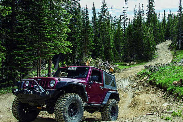
Bill Moore Lake
A lot of people choose to spend a weekend playing around this area. There are a lot of different trails to try out as well as some interesting historical sites. The trail connects to Red Elephant Hill and Mill Creek Loop. ATVs and UTVs will especially enjoy this trail. There is a staging area at the...
Learn more about Bill Moore Lake
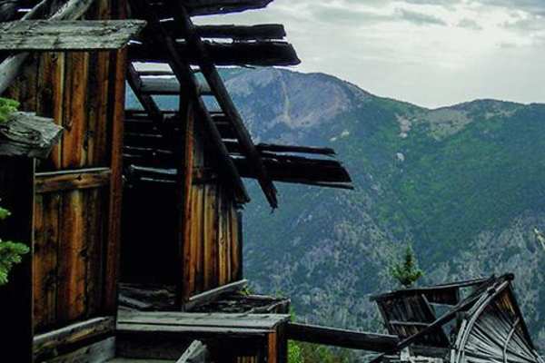
Democrat Mountain
You will be at the top of the mountain, although you'll be able to see Republican Mountain, which is taller, further ahead. Some of the higher terrain in this area is actually private mining land. Be sure to stay on the legal route. The Scepire Mine is one of the best features of the trail and is lo...
Learn more about Democrat Mountain
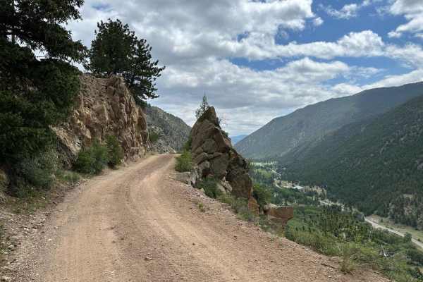
Bard Creek Road
Among the old mining trails stretching from Idaho Springs to Silver Plume, Bard Creek Road offers an enchanting journey through the region's history. As you traverse its bumpy climb, you'll uncover vestiges of Colorado's vibrant past, most notably, the Bard Creek Mine with its remarkably intact ore ...
Learn more about Bard Creek Road
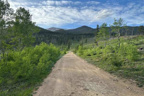
Mad Creek Road
A short drive from the town of Empire and just down the road from the popular Bill Moore Lake Trail, Mad Creek is a great off-road trail that gets passed up by many off-roaders. Whether seeking quiet summer seclusion or deep tire-swallowing winter snow, don't let this trail fall off your radar. Alon...
Learn more about Mad Creek Road
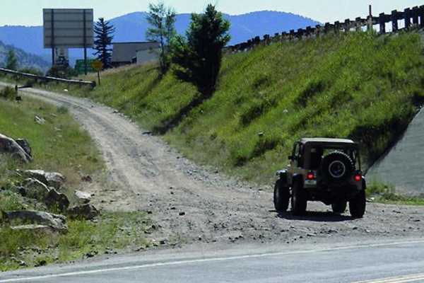
Red Elephant Hill, Mill Creek Loop
Red Elephant Hill, Mill Creek Loop is a challenging 12.8-mile trail designed for experienced off-roaders seeking steep climbs, technical rock obstacles, and high-alpine scenery. Starting near Downieville at an elevation of 8,151 feet, the route climbs a demanding 3,364 feet to a peak elevation of 10...
Learn more about Red Elephant Hill, Mill Creek Loop
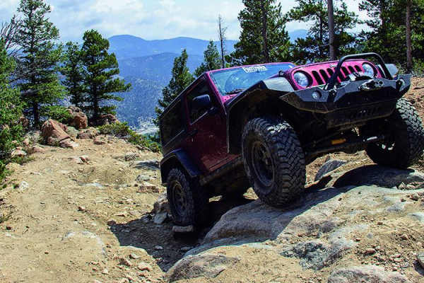
Spring Creek
This is an extremely difficult trail full of challenges not for the faint of heart. It becomes more difficult yearly because it sees so much traffic. If you're up for the challenge, you'll be rewarded with great views and amazing obstacles.
Learn more about Spring Creek
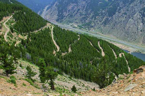
Saxon Mountain
Get a great view of Georgetown below from this impressive trail. You can also see Mt. Evans on a clear day. Georgetown is a fun place to visit. Be aware that there is limited parking at the trailhead. This trail is open year-round, but avoid it if snow is present or after rain.
Learn more about Saxon Mountain
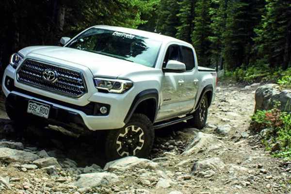
Chinns Lake
Chinns Lake is an exceptional moderate offroad route perfect for intermediate drivers seeking stunning high-alpine views, rugged climbs, and pristine mountain lakes just a short drive from Denver. Stretching approximately 3.7 miles with a steep climb of over 1,500 feet, this trail takes adventurers ...
Learn more about Chinns Lake
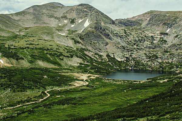
Loch Lomond
Drive along a mountain stream and enjoy the wildflowers as you travel to the amazing lake at the top of this trail. Camping is available in designated spots, with waterfalls and other lakes to hike to.
Learn more about Loch Lomond
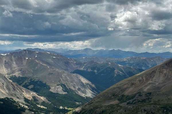
Argentine Pass
This is an out-and-back trail;the back side of Argentine Pass is limited to foot traffic for descending down into Peru Creek. The trail begins right outside Georgetown on Guanella Pass. Begin up FS 248.1 right next to a beautiful waterfall, and be sure to take some pictures. The trail has some small...
Learn more about Argentine Pass
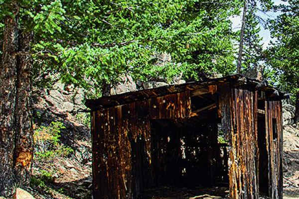
Cascade Creek
Cascade Creek is a challenging 12.3-mile off-road loop near Idaho Springs and Georgetown designed for drivers seeking a journey through historic Colorado mining country. This route climbs from an elevation of 8,534 feet up to of 11,159 feet, offering breathtaking mountain views along a network of ba...
Learn more about Cascade Creek
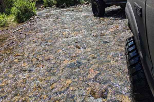
Historic Waldorf Wagon Road
This trail is a great Alternative route parallel to Argentine pass. This trail follows the creek. It is slightly more challenging than the upper road. There are several water crossings that will be deeper early in the year. Mid-July will have spots as deep as 18". This route is very scenic and beaut...
Learn more about Historic Waldorf Wagon Road
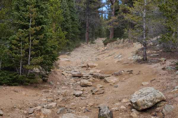
Cumberland Trail
Cumberland Trail is moderate, with much of the trail being rocky and uneven. There are some patches of dirt and areas that open to meadows. Some areas are steep and very rocky with large rocks to traverse; a high clearance vehicle is recommended as there can be a bit of water, and there are parts le...
Learn more about Cumberland Trail
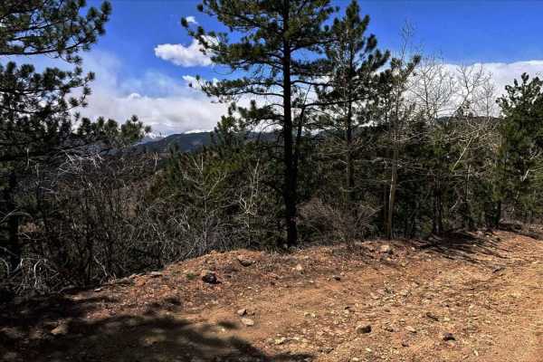
Chinook Road
Vehicle Requirements: High clearance 4WD with low-range capability is essential. Lockers are strongly recommended for boulder navigation. Minimum 33" tires advised. Critical Warnings: Single-lane only with extremely limited passing opportunities. No turnaround spots when approaching from south - com...
Learn more about Chinook Road
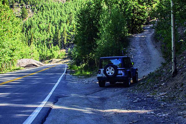
Devil's Canyon
There are a lot of different trail combinations in this area, so you can decide how long or how challenging you want it to be. There is some camping along the trail and parking just before the trail along Highway 103. Echo Lake and Mt. Evans are only a few more miles past the trailhead, so check tho...
Learn more about Devil's Canyon
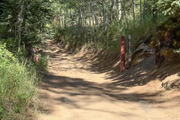
Lower Barbour Fork Road
This is a tight trail that winds through Arapaho National Forest. There are some technical spots with rutted, off-camber, rocky terrain and a few steep climbs. This trail is mostly dirt road, which has soft sand in some spots. There are not many pull-off areas to allow vehicles to pass, and if ther...
Learn more about Lower Barbour Fork Road
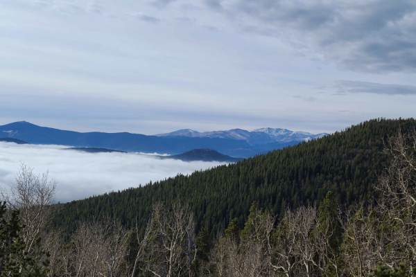
Yankee Hill / Mosquito Creek
Yankee Hill is an easy to intermediate trail with some flat and even areas, while others have rocks and other obstacles. The trail has some nice views near pile hill to the North. This trail winds through the forest and is in the active creek bed; the water can sometimes be up to 12 inches. This tra...
Learn more about Yankee Hill / Mosquito Creek

Pains Mountain Road
This is a spur of a spur off the popular Argentine Pass trail. This route points you back towards the mouth of the valley. Easy driving and open at the beginning. The trail then loses elevation through narrow switchbacks. The end of this route is as far as you can drive in an SUV or a SxS, as the tr...
Learn more about Pains Mountain Road
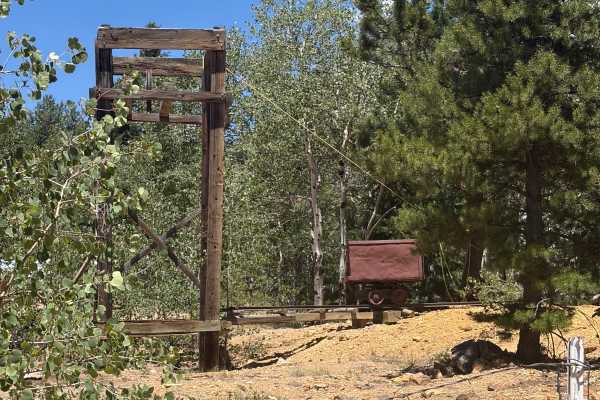
Roy Smith Road
Roy Smith Road is a varied mountain route through pine and aspen forest with occasional open views. The road is suitable for full-size trucks and SUVs but becomes narrow and rough in places. Expect short hill climbs, loose larger rocks, erosion, and several uneven humps and dips. Most obstacles are ...
Learn more about Roy Smith Road
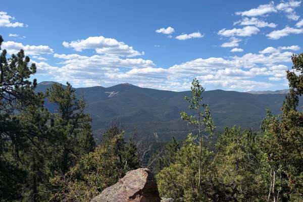
Bellevue Mountain Drive
Bellevue Mountain Drive is an easy gravel route that climbs through pine and aspen forest to a communications tower near the top. The main attraction is the broad mountain and valley views from the upper section. The road begins wide and smooth but narrows in places as it climbs. Full-size trucks an...
Learn more about Bellevue Mountain Drive
ATV trails near Empire, Colorado
Explore ATV-friendly trails near you. These trails are accessible for vehicles up to 50 inches wide, perfect for ATVs and smaller off-road machines.
Bill Moore Lake
A lot of people choose to spend a weekend playing around this area. There are a lot of different trails to try out as well as some interesting historical sites. The trail connects to Red Elephant Hill and Mill Creek Loop. ATVs and UTVs will especially enjoy this trail. There is a staging area at the...
Learn more about Bill Moore Lake
Democrat Mountain
You will be at the top of the mountain, although you'll be able to see Republican Mountain, which is taller, further ahead. Some of the higher terrain in this area is actually private mining land. Be sure to stay on the legal route. The Scepire Mine is one of the best features of the trail and is lo...
Learn more about Democrat Mountain
Bard Creek Road
Among the old mining trails stretching from Idaho Springs to Silver Plume, Bard Creek Road offers an enchanting journey through the region's history. As you traverse its bumpy climb, you'll uncover vestiges of Colorado's vibrant past, most notably, the Bard Creek Mine with its remarkably intact ore ...
Learn more about Bard Creek Road
Mad Creek Road
A short drive from the town of Empire and just down the road from the popular Bill Moore Lake Trail, Mad Creek is a great off-road trail that gets passed up by many off-roaders. Whether seeking quiet summer seclusion or deep tire-swallowing winter snow, don't let this trail fall off your radar. Alon...
Learn more about Mad Creek Road
UTV/side-by-side trails near Empire, Colorado
Find UTV and side-by-side trails near you. These trails accommodate vehicles up to 60 inches wide, ideal for UTVs, side-by-sides, and wider off-road rigs.
Bill Moore Lake
A lot of people choose to spend a weekend playing around this area. There are a lot of different trails to try out as well as some interesting historical sites. The trail connects to Red Elephant Hill and Mill Creek Loop. ATVs and UTVs will especially enjoy this trail. There is a staging area at the...
Learn more about Bill Moore Lake
Democrat Mountain
You will be at the top of the mountain, although you'll be able to see Republican Mountain, which is taller, further ahead. Some of the higher terrain in this area is actually private mining land. Be sure to stay on the legal route. The Scepire Mine is one of the best features of the trail and is lo...
Learn more about Democrat Mountain
Bard Creek Road
Among the old mining trails stretching from Idaho Springs to Silver Plume, Bard Creek Road offers an enchanting journey through the region's history. As you traverse its bumpy climb, you'll uncover vestiges of Colorado's vibrant past, most notably, the Bard Creek Mine with its remarkably intact ore ...
Learn more about Bard Creek Road
Mad Creek Road
A short drive from the town of Empire and just down the road from the popular Bill Moore Lake Trail, Mad Creek is a great off-road trail that gets passed up by many off-roaders. Whether seeking quiet summer seclusion or deep tire-swallowing winter snow, don't let this trail fall off your radar. Alon...
Learn more about Mad Creek Road
The onX Offroad Difference
onX Offroad combines trail photos, descriptions, difficulty ratings, width restrictions, seasonality, and more in a user-friendly interface. Available on all devices, with offline access and full compatibility with CarPlay and Android Auto. Discover what you're missing today!
Open Trail Map