
Dirt Bike Trails
Near Crab Orchard, Kentucky
Explore All Dirt Bike Trails Near Crab Orchard, Kentucky
Dirt Bike Trails Near Crab Orchard, Kentucky
Discover the best dirt bike trails near you. Browse trail maps, check difficulty ratings, and find your next adventure — whether you're looking for a quick ride or an all-day expedition.
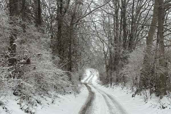
Bogie Mill - Eddington
This trail runs between Newby and Bogie Mill. It is known locally as Eddington Lane or Newby Road. This trail will take you right into Silver Creek, with beautiful farmland and a covered bridge nearby down Bogie Mill Road. There are several other trails in the area, and this one will be one of the e...
Learn more about Bogie Mill - Eddington
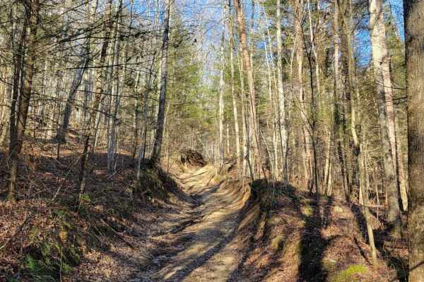
Daughtry to Sheltowee Trace
Daughtry ln starts out as a nice gravel road for about 2 miles. There's a couple creek crossings which one can get deep and fast moving. Once you've crossed the creek you'll go through a field and meet up with Sheltowee Trace Trail for licensed vehicles and anything in-between. This part has some m...
Learn more about Daughtry to Sheltowee Trace
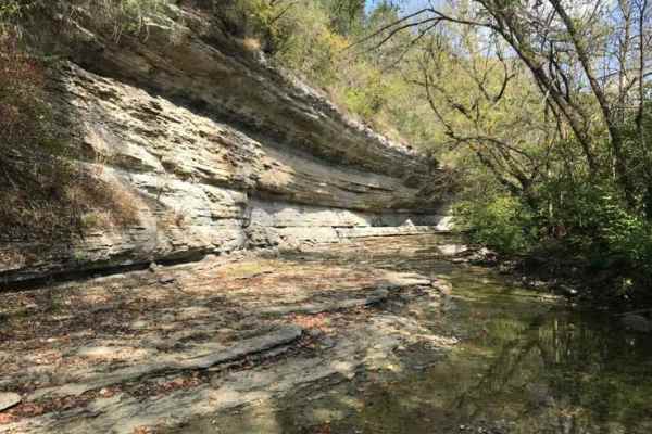
Jackson Branch - Power Lines
From the mouth of Jackson Branch at Silver Creek, you will ascend a narrow rock trail to the power line clearing and travel down Woodland Heights Road, or you can travel in the opposite direction as well. This route has a scenic overhanging rock cliff or cascade. Along the route are several old barn...
Learn more about Jackson Branch - Power Lines
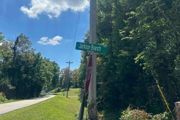
Jackson Branch Road
This county road is an unmaintained route that connects the community of Baldwin to Newby. It has one small creek crossing and has a rock and gravel surface. Taking this route will easily connect you with other trails in the area. Each side of this road is private property. You can find shade and pl...
Learn more about Jackson Branch Road
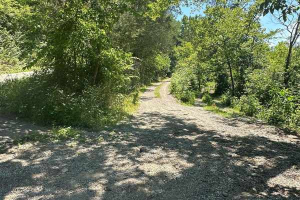
Silver Creek - Playground Area
This is a part of the unmaintained county road, Maple Grove Road. This trail travels along Silver Creek and has many offshoots and playground areas. Large mud holes, hill climbs, the wall, and other fun places to flex your ride or take your rig. Going too far off the trails, you can find No Trespass...
Learn more about Silver Creek - Playground Area
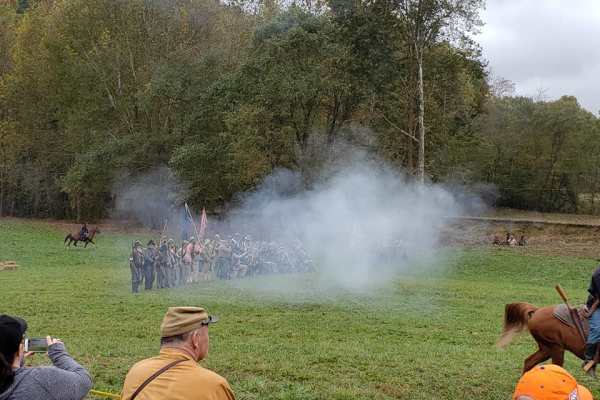
Rockcastle Exploring River Bypass
Rockcastle Exploring River Bypass is an easy, scenic gravel route ideal for beginners, families, and history buffs looking to explore the beautiful woodlands of Laurel County. Winding through the dense canopy of Kentucky’s mountainous terrain, this trail offers a relaxed driving experience accessibl...
Learn more about Rockcastle Exploring River Bypass
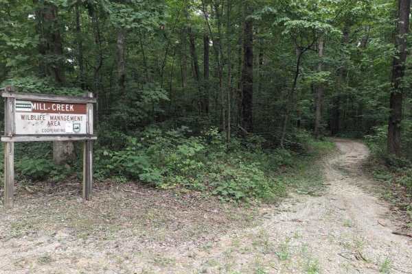
Renfro Loop
Renfro Loop is a motorized trail loop in the London Ranger District of Daniel Boone National Forest, located near the S-Tree Campground area. Open to ATVs and singletrack motorcycles, this loop forms part of the local motorized trail network that connects with nearby Sheltowee Trace segments, allowi...
Learn more about Renfro Loop
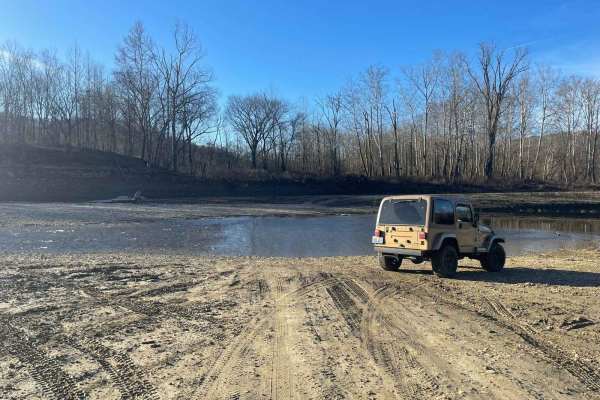
Oil Center WMA Main Via Ringgold Road
Note that this trail is impassable during high pool seasons of Lake Cumberland, from around March to October. Exercise caution and observe the water level. This route provides access through one of four roads to the Lake Cumberland WMA at Oil Center. Please keep in mind that this area is maintained ...
Learn more about Oil Center WMA Main Via Ringgold Road
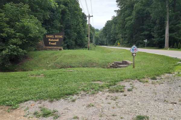
Sheltowee Trace West
Sheltowee Trace West is a motorized trail segment in the London Ranger District of Daniel Boone National Forest that branches south from Kentucky Highway 421 and runs toward the Renfro Loop area and S-Tree Campground. This trail is open to ATVs and singletrack motorcycles and provides a quiet backco...
Learn more about Sheltowee Trace West
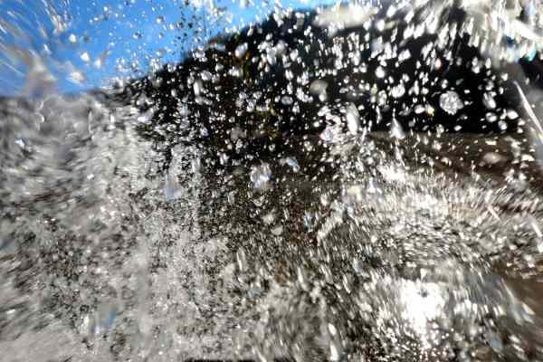
Rock Lick / Pipeline Exit
This is a very scenic trail that runs along and through Rock Lick Creek. There are multiple creek crossings, as well a few deep and off-camber mud holes. Most of the deep mud holes have a bypass. The creek has a bluish green tint and flows year round. Rumor has it that there is good smallmouth fishi...
Learn more about Rock Lick / Pipeline Exit
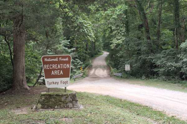
Turkey Foot Road - FS 4
Turkey Foot Road - FS 4, also known as Elster Road, is a scenic gravel road that winds through the Daniel Boone National Forest, providing access to recreation areas, forest roads, and dispersed camping opportunities. The route includes a single-lane bridge crossing and passes through beautiful hard...
Learn more about Turkey Foot Road - FS 4

Lake Branch 3171
This trail is within the boundaries of the Daniel Boone National Forest and travels out of the area of Wind Cave to the Lake Branch area. The trail is somewhat maintained with the branches and trees cut back, and the road surface is dirt and rock. This area has a few obstacles, a family cemetery, st...
Learn more about Lake Branch 3171
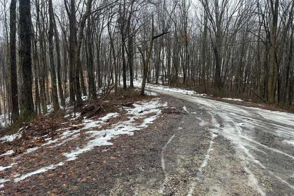
Big Branch 3044
This trail is within the boundaries of the Daniel Boone National Forest and travels out of the area of Turkey Foot Campground and Wind Cave. The trail is somewhat maintained with the branches and trees cut back, and the road surface is dirt and rock. This ridge has good views and has recently underg...
Learn more about Big Branch 3044
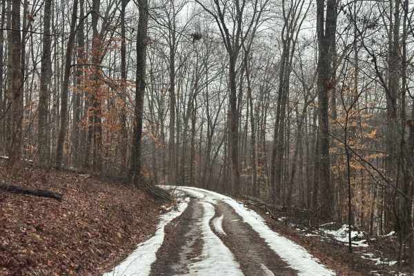
Reese Ridge 3044BB
This trail is within the boundaries of the Daniel Boone National Forest and travels out of the area of Reese Ridge to the Wood Cutting Branch area. The trail is somewhat maintained with the branches and trees cut back, and the road surface is dirt and rock. This ridge has good views and is an out-an...
Learn more about Reese Ridge 3044BB
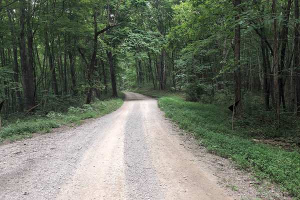
Elsam Fork Road - FS 345
Elsam Road - Forest Service Road 345 is a gravel road that is suitable for high‑clearance vehicles to sedans depending on the weather conditions. The road follows moderate elevation changes with occasional rutted sections, washouts after heavy rain, and tight vegetation along the shoulders. Cell cov...
Learn more about Elsam Fork Road - FS 345
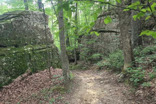
Sheltowee Trace Single Track - FS 100
FS 100 is a narrow single‑track section of the Sheltowee Trace trail offering technical dirt‑bike riding through Daniel Boone National Forest. The trail can be accessed from FS 345 near Turkey Foot Campground or from Elisha Branch Road. Expect mixed terrain with roots, rocks, and short climbs that d...
Learn more about Sheltowee Trace Single Track - FS 100
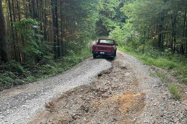
Bear Creek Falls (5138)
Access to a beautiful waterfall into the Rockcastle River. Characteristics of an old Forest Service Road. Large gravel, dirt, and shallow water crossings. Some washouts around one foot deep. Beautiful drive through a less-trafficked area of Daniel Boone National Forest. There is a possibility of dow...
Learn more about Bear Creek Falls (5138)
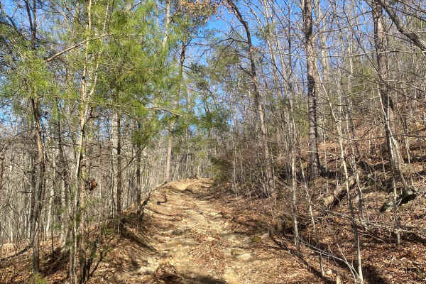
Barnes Buck Road
Barnes Buck Road in the Daniel Boone National Forest is a blast from the past! As you navigate off of Kentucky Route 1209, you will encounter a gradual hill climb up to the top of the ridge, where you continue the trail through beautiful Kentucky landscapes and astonishing views. This trail offers o...
Learn more about Barnes Buck Road
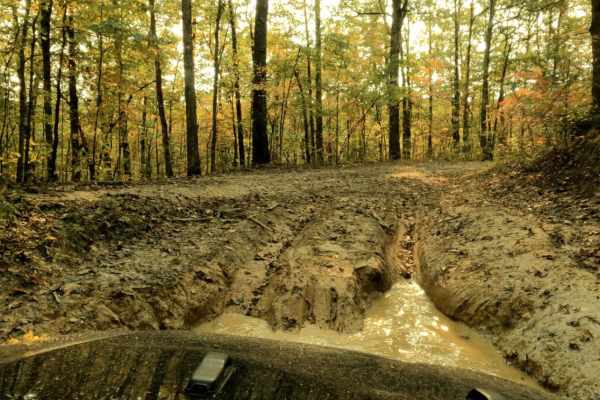
Pistol Creek
Pistol Creek is a moderately challenging 18-mile offroad loop featuring rocky creek beds, deep mud puddles, and views of the Kentucky River. Rated a 5, the route requires a high-clearance, four-wheel-drive vehicle with all-terrain tires to navigate large rocks and deep water crossings.
The trail wi...
Learn more about Pistol Creek
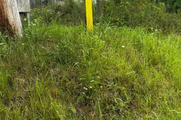
JC Trail 2
This is a short, moderate trail that will take you through some farmland over to another trail. One side is a gravel road, but halfway through the trail, it turns into a good, not easy, but not too hard trail with a hill that changes every time it rains, and some small mud holes
Learn more about JC Trail 2
ATV trails near Crab Orchard, Kentucky
Explore ATV-friendly trails near you. These trails are accessible for vehicles up to 50 inches wide, perfect for ATVs and smaller off-road machines.
Bogie Mill - Eddington
This trail runs between Newby and Bogie Mill. It is known locally as Eddington Lane or Newby Road. This trail will take you right into Silver Creek, with beautiful farmland and a covered bridge nearby down Bogie Mill Road. There are several other trails in the area, and this one will be one of the e...
Learn more about Bogie Mill - Eddington
Daughtry to Sheltowee Trace
Daughtry ln starts out as a nice gravel road for about 2 miles. There's a couple creek crossings which one can get deep and fast moving. Once you've crossed the creek you'll go through a field and meet up with Sheltowee Trace Trail for licensed vehicles and anything in-between. This part has some m...
Learn more about Daughtry to Sheltowee Trace
Jackson Branch - Power Lines
From the mouth of Jackson Branch at Silver Creek, you will ascend a narrow rock trail to the power line clearing and travel down Woodland Heights Road, or you can travel in the opposite direction as well. This route has a scenic overhanging rock cliff or cascade. Along the route are several old barn...
Learn more about Jackson Branch - Power Lines
Jackson Branch Road
This county road is an unmaintained route that connects the community of Baldwin to Newby. It has one small creek crossing and has a rock and gravel surface. Taking this route will easily connect you with other trails in the area. Each side of this road is private property. You can find shade and pl...
Learn more about Jackson Branch Road
UTV/side-by-side trails near Crab Orchard, Kentucky
Find UTV and side-by-side trails near you. These trails accommodate vehicles up to 60 inches wide, ideal for UTVs, side-by-sides, and wider off-road rigs.
Bogie Mill - Eddington
This trail runs between Newby and Bogie Mill. It is known locally as Eddington Lane or Newby Road. This trail will take you right into Silver Creek, with beautiful farmland and a covered bridge nearby down Bogie Mill Road. There are several other trails in the area, and this one will be one of the e...
Learn more about Bogie Mill - Eddington
Daughtry to Sheltowee Trace
Daughtry ln starts out as a nice gravel road for about 2 miles. There's a couple creek crossings which one can get deep and fast moving. Once you've crossed the creek you'll go through a field and meet up with Sheltowee Trace Trail for licensed vehicles and anything in-between. This part has some m...
Learn more about Daughtry to Sheltowee Trace
Jackson Branch - Power Lines
From the mouth of Jackson Branch at Silver Creek, you will ascend a narrow rock trail to the power line clearing and travel down Woodland Heights Road, or you can travel in the opposite direction as well. This route has a scenic overhanging rock cliff or cascade. Along the route are several old barn...
Learn more about Jackson Branch - Power Lines
Jackson Branch Road
This county road is an unmaintained route that connects the community of Baldwin to Newby. It has one small creek crossing and has a rock and gravel surface. Taking this route will easily connect you with other trails in the area. Each side of this road is private property. You can find shade and pl...
Learn more about Jackson Branch Road
The onX Offroad Difference
onX Offroad combines trail photos, descriptions, difficulty ratings, width restrictions, seasonality, and more in a user-friendly interface. Available on all devices, with offline access and full compatibility with CarPlay and Android Auto. Discover what you're missing today!
Open Trail Map