Trail Overview
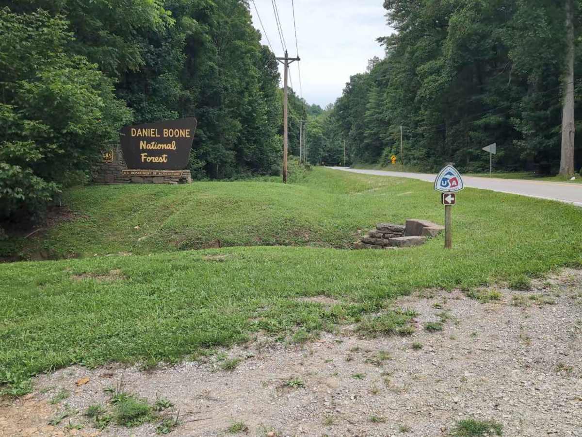
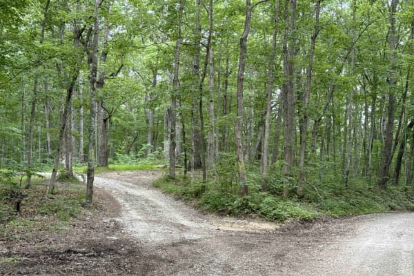
Sheltowee Trace West is a motorized trail segment in the London Ranger District of Daniel Boone National Forest that branches south from Kentucky Highway 421 and runs toward the Renfro Loop area and S-Tree Campground. This trail is open to ATVs and singletrack motorcycles and provides a quiet backcountry route for riders exploring the forested hills of southeastern Kentucky. Starting near KY 421, the trail quickly leaves the roadside corridor and enters dense hardwood forest where the route follows natural terrain through the Cumberland Plateau landscape. The trail functions as a connector between highway access and deeper portions of the Daniel Boone National Forest trail network, giving riders a way to reach the Renfro Loop area and camping opportunities near S-Tree Campground.
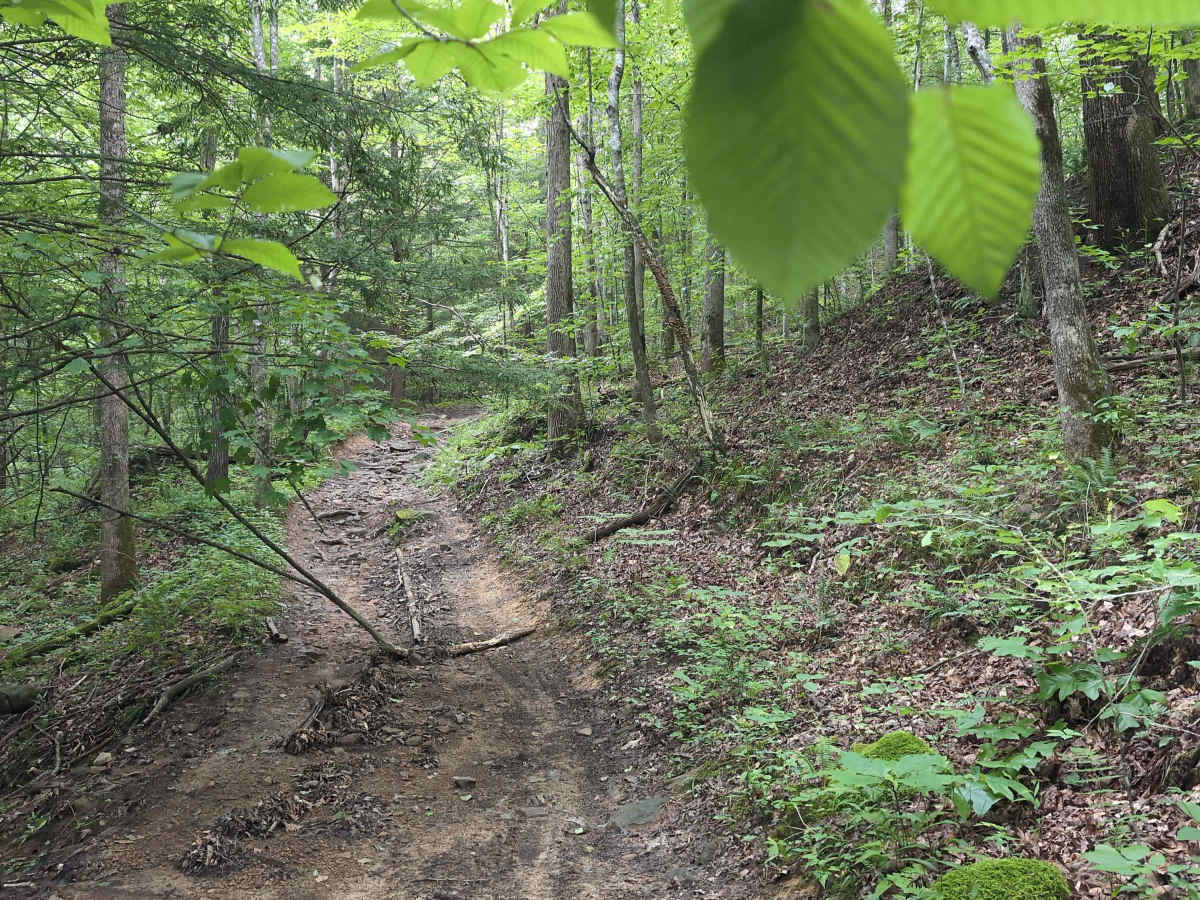
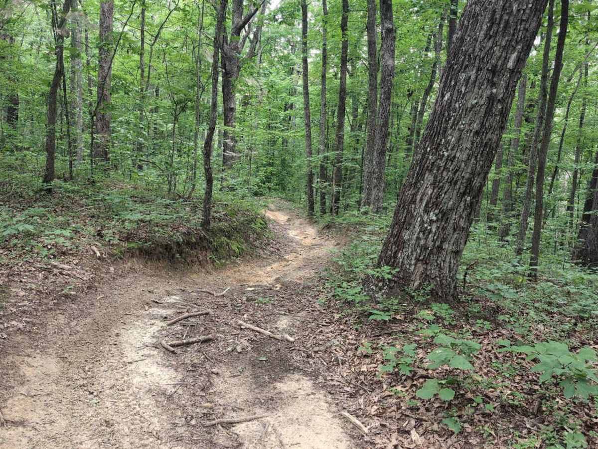
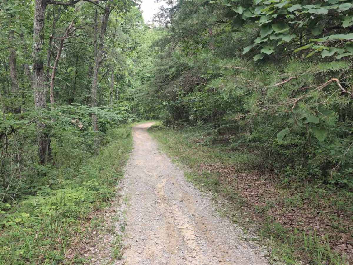
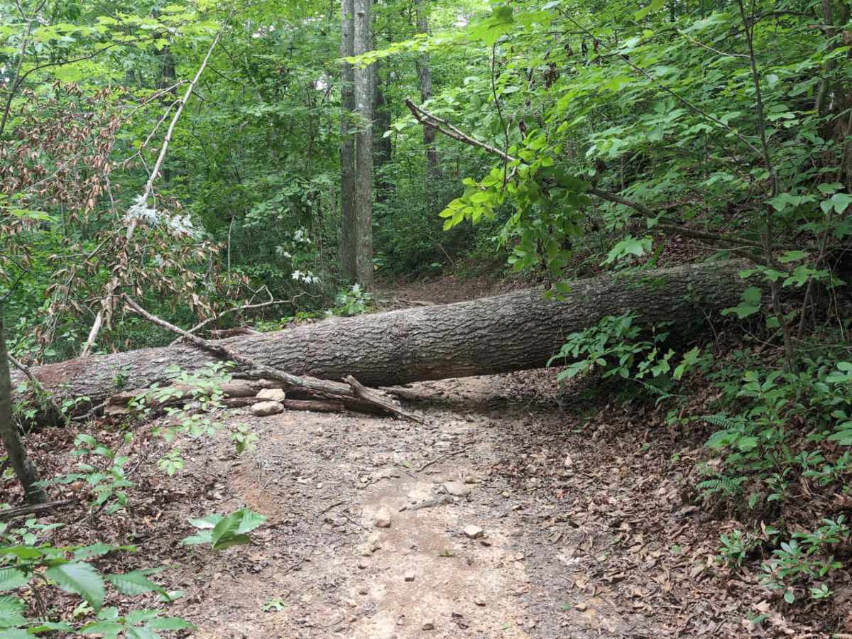
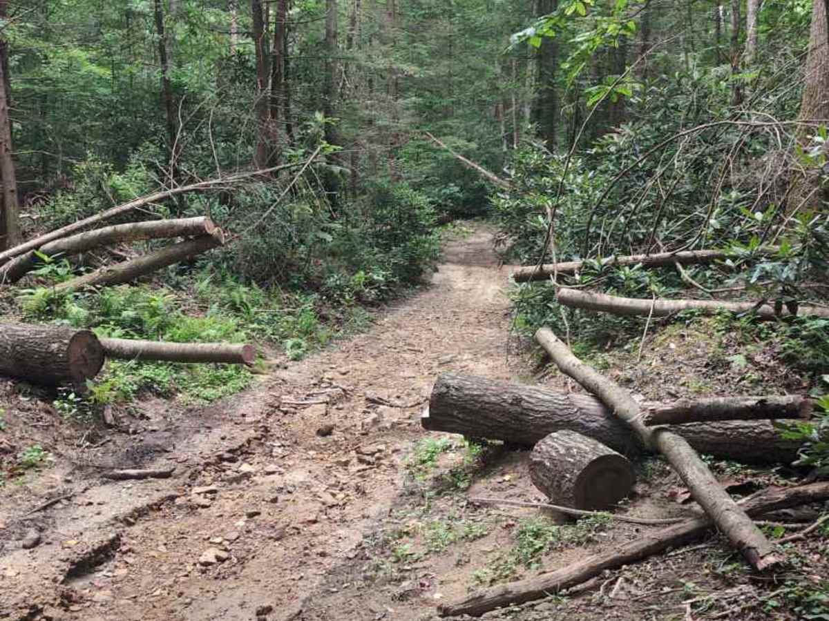
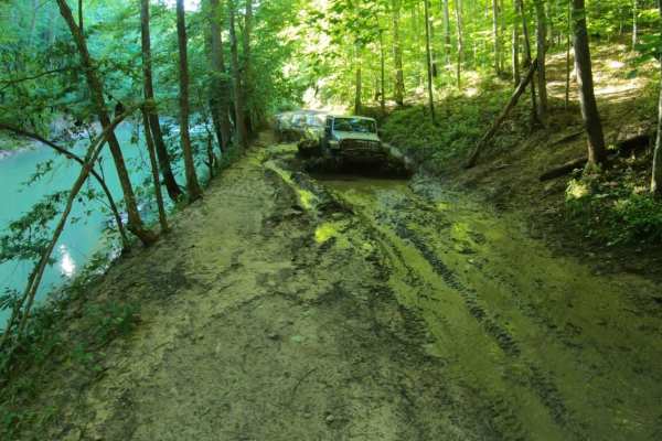
As the route winds farther into the forest, riders encounter the rugged terrain typical of the London Ranger District, including rolling hills, narrow trail corridors, and sections that climb along wooded ridgelines before descending into shallow hollows. Natural trail surfaces and uneven ground require controlled riding, particularly in tighter sections where visibility can be limited by thick forest cover. The trail passes through remote areas of National Forest land with minimal infrastructure, making it important for riders to plan fuel, supplies, and navigation before heading out. Because Sheltowee Trace West is a designated motorized trail within Daniel Boone National Forest, all vehicles must remain on the signed route in accordance with U.S. Forest Service Motor Vehicle Use Map regulations while traveling between the KY 421 trail access point and the Renfro Loop and S-Tree Campground area.