
Dirt Bike Trails
Near Copper City, Michigan
Explore All Dirt Bike Trails Near Copper City, Michigan
Dirt Bike Trails Near Copper City, Michigan
Discover the best dirt bike trails near you. Browse trail maps, check difficulty ratings, and find your next adventure — whether you're looking for a quick ride or an all-day expedition.
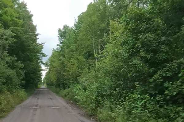
Soo Line Railway bed: ST17 / ORV Route B
ORV Route B is an open segment that measures approximately 3.24 miles in length. The route has a width greater than 12 feet and features a surface composed of dirt, sand, gravel, and native material. This route follows a former railroad bed that has been converted into an ORV trail. It connects Elec...
Learn more about Soo Line Railway bed: ST17 / ORV Route B
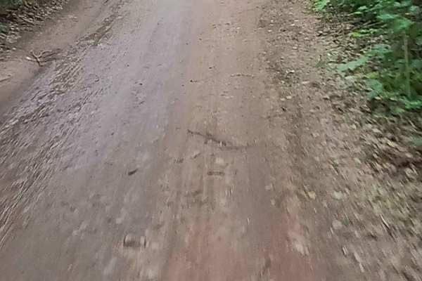
ST3 - ORV Route BD
ORV Route BD, known as the ST-3 Railway portion, is an open segment measuring approximately 10.08 miles in length. The route has a maximum width of 72 inches and features a surface composed of dirt, sand, gravel, and native material. This route follows a former railway bed that has been converted in...
Learn more about ST3 - ORV Route BD
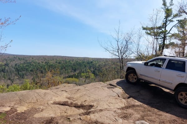
The Cliffs
One of the hardest trails in the area, the Cliffs rewards you with a beautiful overlook of the Keweenaw Peninsula. This trail is not easy to navigate in a full-size vehicle and is best for high clearance, short-wheelbase vehicles with at least one locking differential. The water crossing at the star...
Learn more about The Cliffs
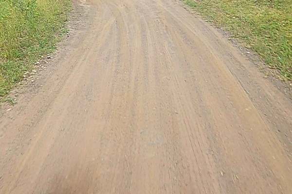
Copper County State First Route
Copper County State Forest Road is a non-DNR road under private ownership. The surface consists of dirt, sand, and native material, and the overall condition is considered fair. Since it is not a DNR road, ORV use is subject to local government laws. The road remains open under the current closure c...
Learn more about Copper County State First Route
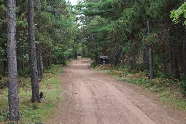
Copper Falls Mill Trail
The Copper Falls Mill Trail is an excellent route for intermediate offroaders seeking a scenic historical drive through the dense forests of Michigan's Keweenaw Peninsula. Following a historic railroad grade that once served the Copper Falls Stamp Mill, this two-track route begins at the west end of...
Learn more about Copper Falls Mill Trail
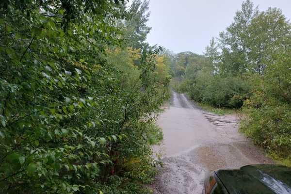
Bill Nicholls Trail (UP3)
This is one of Michigan's ORV Routes that is open to all licensed vehicles and ORVs. It runs from Houghton to Greenland at roughly 40 miles in length, utilizing the old Copper Range Railroad grade. There are 2 trestles that have been removed, and these account for the only hills on the trail. Otherw...
Learn more about Bill Nicholls Trail (UP3)
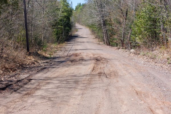
Delaware Crosscut
This is a gently rolling and twisty gravel road that is perfect for taking the road less traveled. Don't let the typically dry and flat conditions fool you as the spring and late fall conditions can be very muddy. It is typical to have road closures during the spring thaw as the mud holes can swallo...
Learn more about Delaware Crosscut
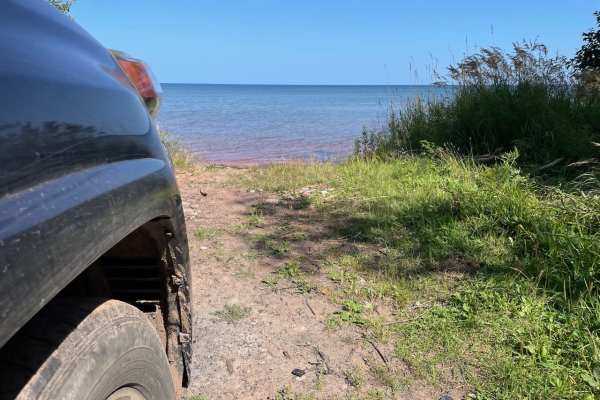
Red Rock Beach Trail
This is a short 1-mile two-track that leads out to a secluded beach with unique polka-dotted red rocks. It is just wide enough for a full-sized rig to avoid pin striping, and there isn't anywhere to pass. The surface is rock and dirt, and there are multiple mud puddles, but they have hard bottoms a...
Learn more about Red Rock Beach Trail
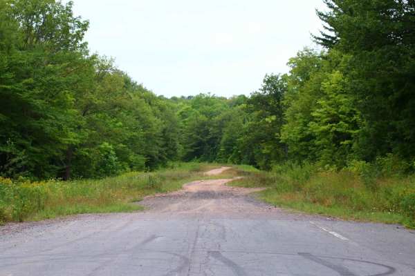
Old M-26 Trail
The Old M-26 Trail is a short, scenic offroad route near Trimountain, Michigan, perfect for four-wheel-drive vehicles and SxSs looking for a quick, historical connector. Spanning roughly 0.7 miles, this route climbs from an elevation of 1,178 feet to 1,325 feet with a cumulative elevation gain of 14...
Learn more about Old M-26 Trail
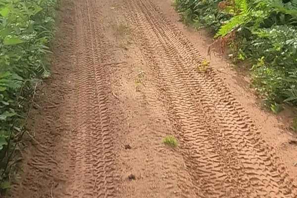
ORV Route BI
ORV Route BI is an open segment measuring approximately 2.23 miles in length. The route has a width greater than 12 feet and features a surface composed of dirt, sand, and native material. This route is seasonally restricted to side-by-side ORVs that are 65 inches or less in width and to ATVs. These...
Learn more about ORV Route BI
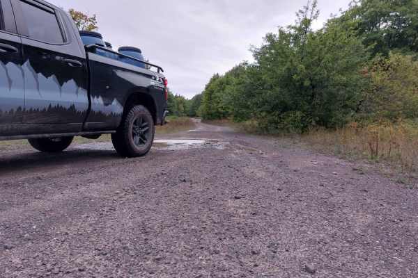
Globe Mine Trail
Short and easy is how this trail is described. It does get narrow and has a few water holes to navigate but they have a hard bottom. This makes for an easy escape or entrance to the Bill Nicholls trail. The trail is mostly gravel, relatively flat, and pretty wide for most of it.
Learn more about Globe Mine Trail
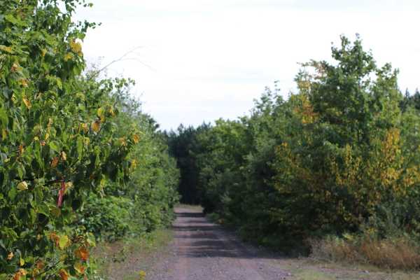
Mill Mine Trail
This trail runs along an old railroad grade off the Bill Nicholls trail back to the Bill Nicholls trail. It is an alternative to running through the towns of Painesdale, Trimountain, and South Range. The trail is easy on the North end but has a couple small water crossings on the South end that vary...
Learn more about Mill Mine Trail
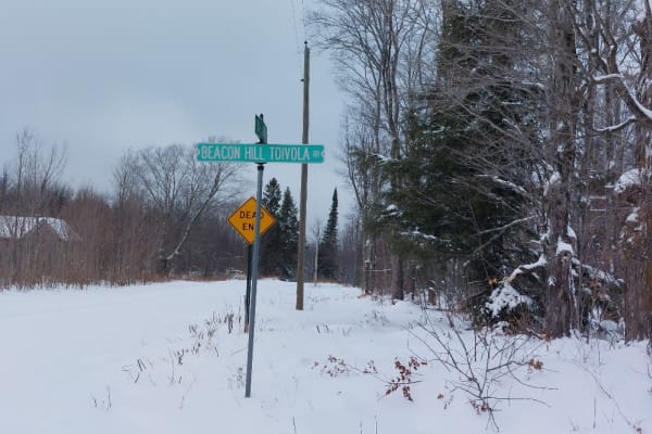
Freda Crosscut
A gentle winding trail through the Michigan Woods. This trail used to be very narrow, unmaintained, rutted, and muddy. Recently the logging companies have been using it and made significant improvements by grading, widening, and crowning the road for drainage. It may stay this way or it may return t...
Learn more about Freda Crosscut
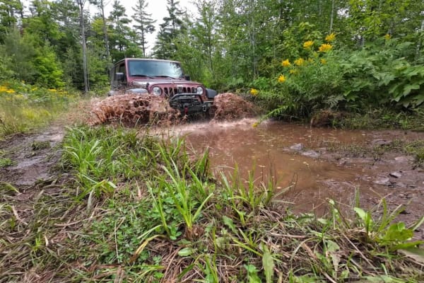
Old Clark Mine
The Old Clark Mine is located roughly 2.5 miles south of Copper Harbor on the Keweenaw Peninsula in the U.P. Michigan. There are very few remnants left from the mine which closed in 1901, however, the dirt and gravel trails throughout are enjoyable since they are surrounded by thick forests. This tr...
Learn more about Old Clark Mine
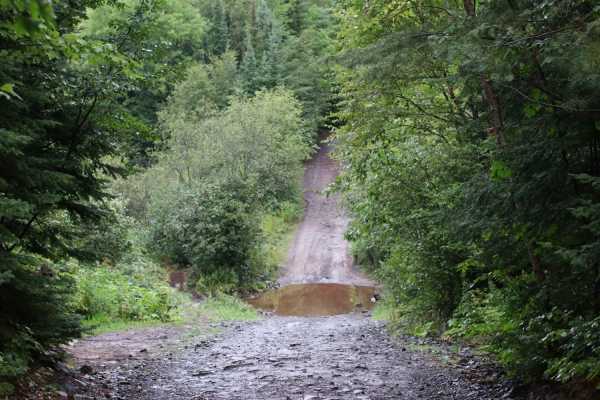
High Rock Bay
High Rock Bay is an iconic 4.8-mile trail designed for capable four-wheel-drive vehicles and SxSs seeking a rugged journey to the northernmost tip of Michigan's Keweenaw Peninsula. Historically used to access the Keweenaw Rocket Range site—a 1960s meteorological rocket launch facility—this route tak...
Learn more about High Rock Bay
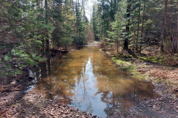
Horseshoe Harbor Road
This is an out-and-back trail that is very narrow and not recommended for full-size rigs. Overall the trail has a firm base of gravel and solid bedrock. It starts off as a well-maintained road that narrows to an unmaintained 2-track with progressively more difficult trail features. In the wet season...
Learn more about Horseshoe Harbor Road
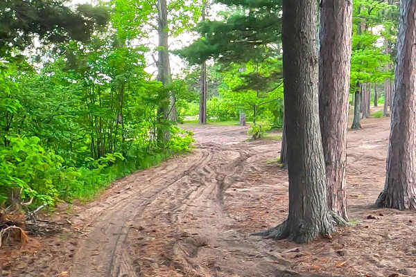
Huron Road
Huron Road is a state owned/ locally maintained, Level-2/ Level-3, "There-and-back" forest access route with a surface composition of sand, dirt, and native material (ex: leaves, pine needles, pine cones, sticks, branches). It offers access to the shoreline of Lake Superior and the mouth of the Huro...
Learn more about Huron Road
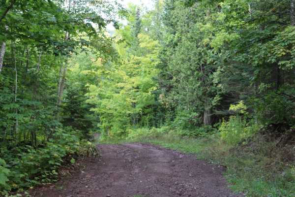
Union Creek
This is a hilly out-and-back trail with a creek crossing and viewpoints of the Keweenaw Ridge. Many years ago, this used to be a bypass to taking the Mandan Road to High Rock, but it has since been blocked at the east end. There is an overgrown trail that proceeds onto the radio tower property that ...
Learn more about Union Creek
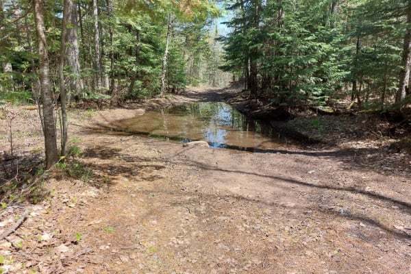
Soggy Bottoms
This is a short, wet, and fun trail that cuts from Horseshoe Harbor Trail over to Mandan Road. This is a mixed-use trail that Mountain Bikers use to access the Keweenaw Point Trail Phase 2 section. Comprised of over a half dozen water holes, that will vary in depth depending on recent precipitation,...
Learn more about Soggy Bottoms
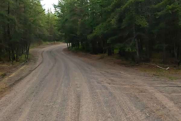
Arvon Road
Arvon Road is a state owned/ locally maintained, Level-2 forest access route with a surface composition of sand, dirt, and native material (ex: leaves, pine needles, pine cones, sticks, branches). This route offers access to forested "Two-Tracks" and footpaths within the deep wilderness south of Hur...
Learn more about Arvon Road
ATV trails near Copper City, Michigan
Explore ATV-friendly trails near you. These trails are accessible for vehicles up to 50 inches wide, perfect for ATVs and smaller off-road machines.
Soo Line Railway bed: ST17 / ORV Route B
ORV Route B is an open segment that measures approximately 3.24 miles in length. The route has a width greater than 12 feet and features a surface composed of dirt, sand, gravel, and native material. This route follows a former railroad bed that has been converted into an ORV trail. It connects Elec...
Learn more about Soo Line Railway bed: ST17 / ORV Route B
ST3 - ORV Route BD
ORV Route BD, known as the ST-3 Railway portion, is an open segment measuring approximately 10.08 miles in length. The route has a maximum width of 72 inches and features a surface composed of dirt, sand, gravel, and native material. This route follows a former railway bed that has been converted in...
Learn more about ST3 - ORV Route BD
The Cliffs
One of the hardest trails in the area, the Cliffs rewards you with a beautiful overlook of the Keweenaw Peninsula. This trail is not easy to navigate in a full-size vehicle and is best for high clearance, short-wheelbase vehicles with at least one locking differential. The water crossing at the star...
Learn more about The Cliffs
Copper County State First Route
Copper County State Forest Road is a non-DNR road under private ownership. The surface consists of dirt, sand, and native material, and the overall condition is considered fair. Since it is not a DNR road, ORV use is subject to local government laws. The road remains open under the current closure c...
Learn more about Copper County State First Route
UTV/side-by-side trails near Copper City, Michigan
Find UTV and side-by-side trails near you. These trails accommodate vehicles up to 60 inches wide, ideal for UTVs, side-by-sides, and wider off-road rigs.
Soo Line Railway bed: ST17 / ORV Route B
ORV Route B is an open segment that measures approximately 3.24 miles in length. The route has a width greater than 12 feet and features a surface composed of dirt, sand, gravel, and native material. This route follows a former railroad bed that has been converted into an ORV trail. It connects Elec...
Learn more about Soo Line Railway bed: ST17 / ORV Route B
ST3 - ORV Route BD
ORV Route BD, known as the ST-3 Railway portion, is an open segment measuring approximately 10.08 miles in length. The route has a maximum width of 72 inches and features a surface composed of dirt, sand, gravel, and native material. This route follows a former railway bed that has been converted in...
Learn more about ST3 - ORV Route BD
The Cliffs
One of the hardest trails in the area, the Cliffs rewards you with a beautiful overlook of the Keweenaw Peninsula. This trail is not easy to navigate in a full-size vehicle and is best for high clearance, short-wheelbase vehicles with at least one locking differential. The water crossing at the star...
Learn more about The Cliffs
Copper County State First Route
Copper County State Forest Road is a non-DNR road under private ownership. The surface consists of dirt, sand, and native material, and the overall condition is considered fair. Since it is not a DNR road, ORV use is subject to local government laws. The road remains open under the current closure c...
Learn more about Copper County State First Route
The onX Offroad Difference
onX Offroad combines trail photos, descriptions, difficulty ratings, width restrictions, seasonality, and more in a user-friendly interface. Available on all devices, with offline access and full compatibility with CarPlay and Android Auto. Discover what you're missing today!
Open Trail Map