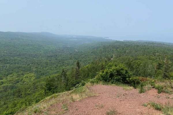
Trail Overview
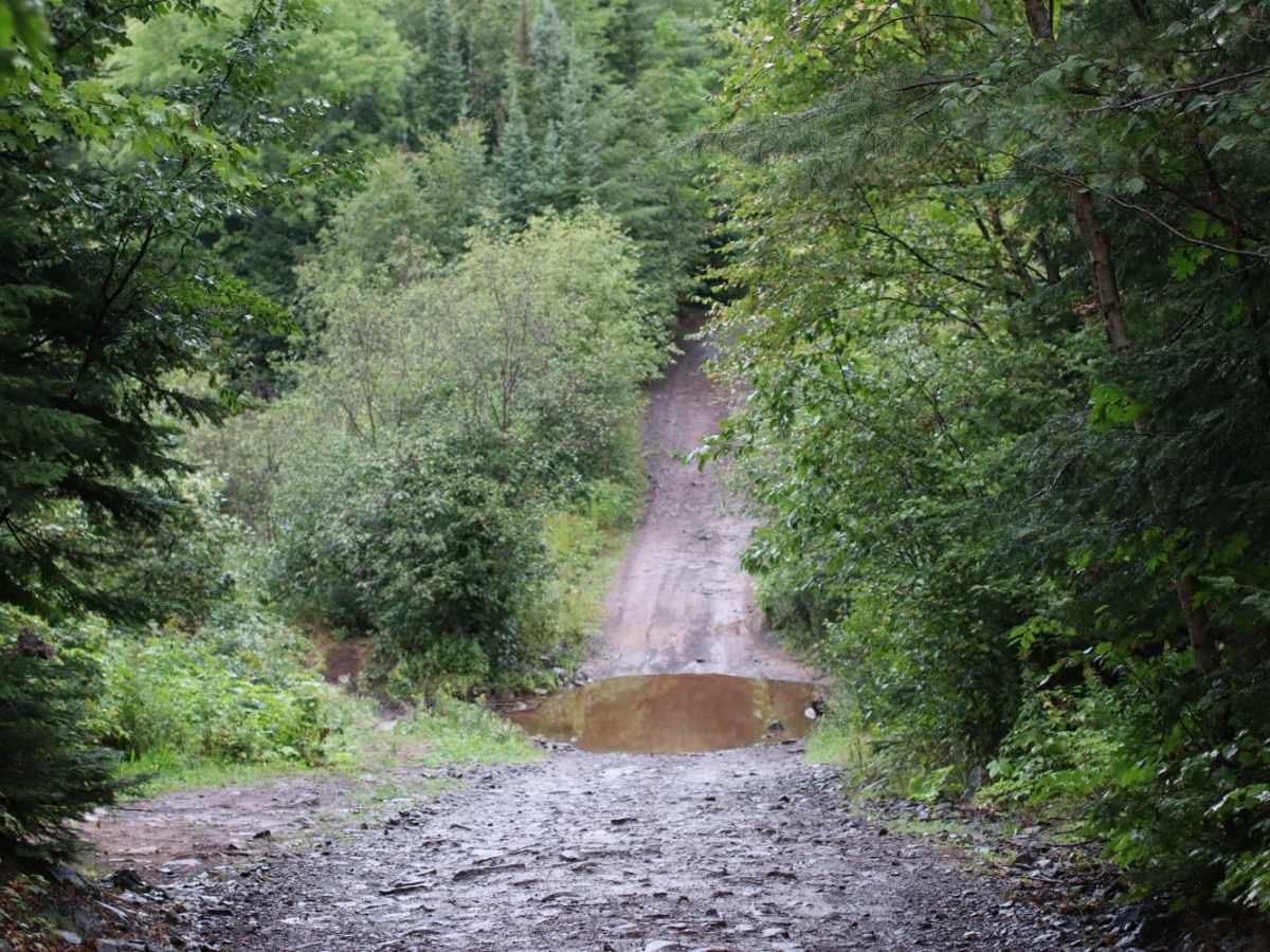
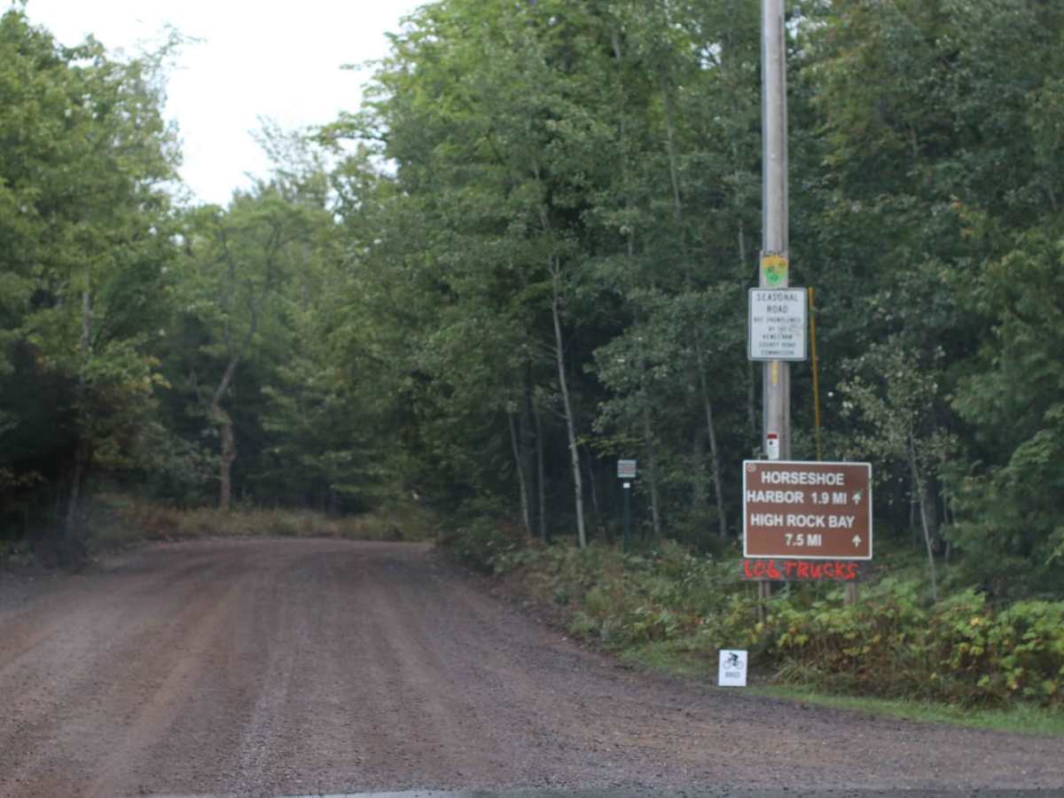
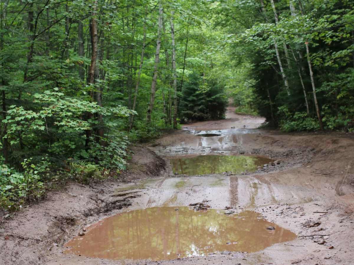
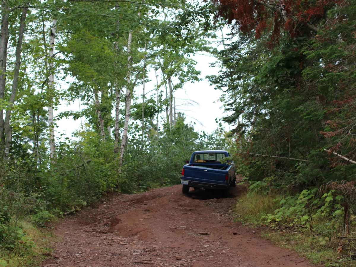
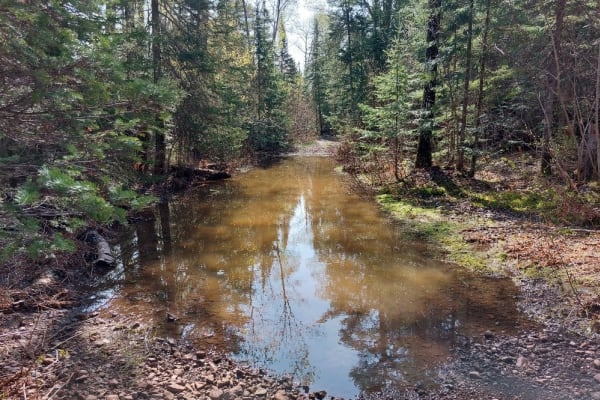
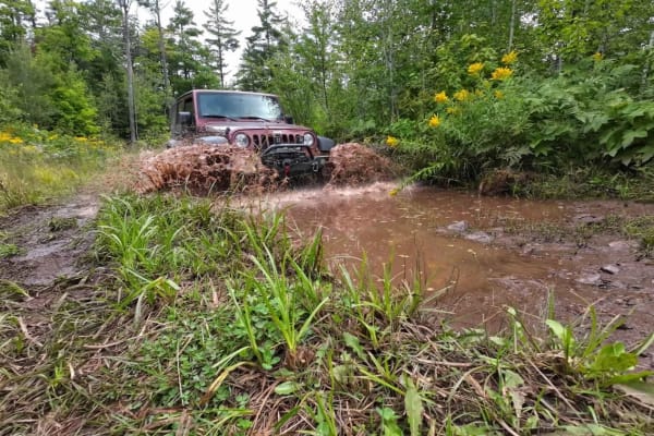
High Rock Bay is an iconic 4.8-mile trail designed for capable four-wheel-drive vehicles and SxSs seeking a rugged journey to the northernmost tip of Michigan's Keweenaw Peninsula. Historically used to access the Keweenaw Rocket Range site—a 1960s meteorological rocket launch facility—this route takes adventurers through dense boreal forests and across challenging terrain. The trail features a series of mud-filled wallows and deep water crossings that fluctuate significantly in depth depending on recent rainfall. Drivers should proceed with caution, as large, submerged boulders frequently lurk beneath the muddy water, posing a high risk of vehicle damage to those who travel too quickly.
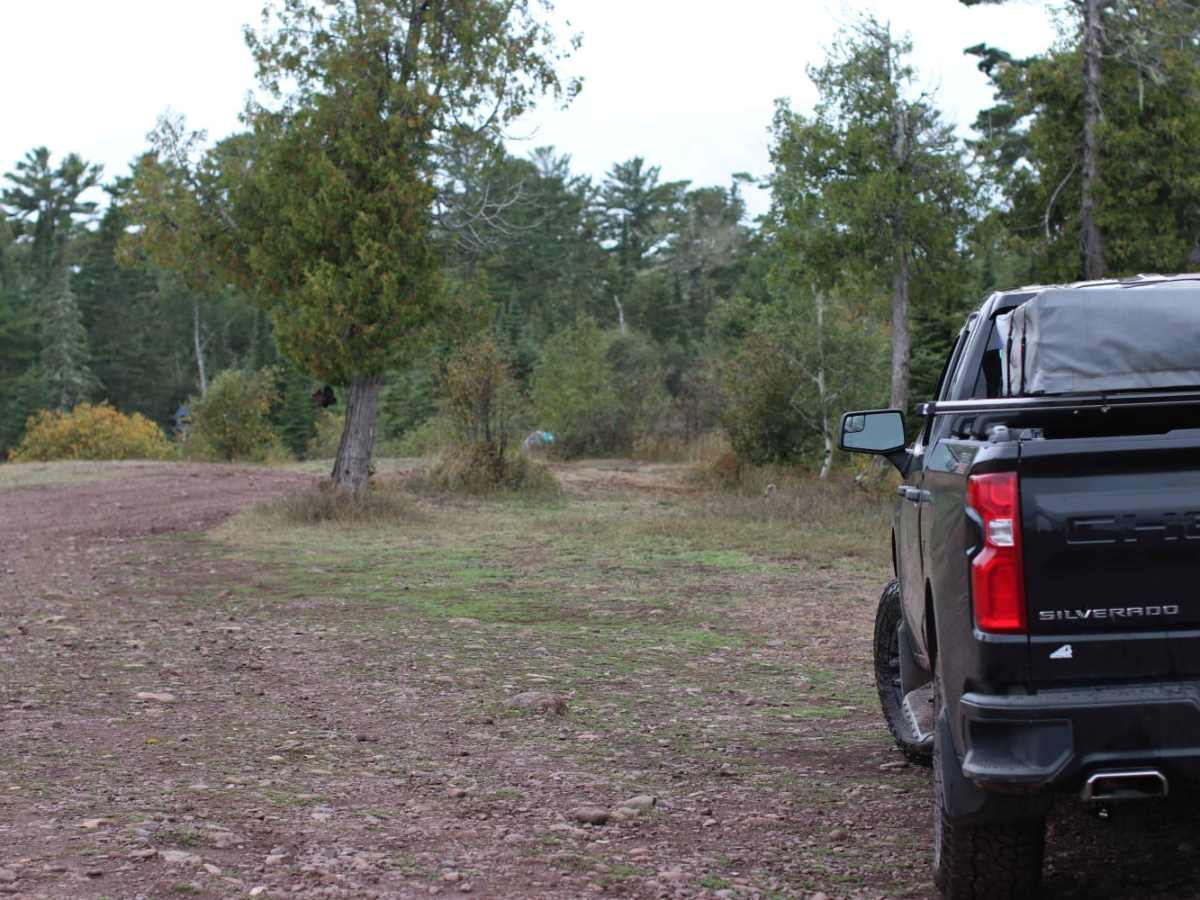
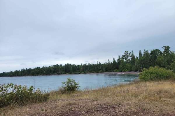
The route experiences mild elevation changes, ranging from 643 feet up to 994 feet, with a technical difficulty rating that varies between 4 and 5 depending on seasonal moisture. During dry spells, the trail is a moderate challenge, but wet weather transforms it into a slick, muddy corridor requiring high clearance and low-range gears. The trail terminates directly on the rocky shores of Lake Superior at High Rock Bay, where visitors can enjoy panoramic views of Manitou Island and find primitive shoreline campsites. Due to its remote location and unpredictable obstacles, traveling with a winch and recovery gear is highly recommended.
History
The trail was originally used to access the Keweenaw Rocket Range, a rocket launch site active in the 1960s and 1970s. The site was utilized by NASA and the University of Michigan to launch meteorological rockets into the upper atmosphere.