Huron Road

Total Miles1
Technical Rating
2Easy
Best TimeSpring, Summer, Fall
Trail TypeFull-Width Road
Accessible By
Open Trail Map

Trail Overview

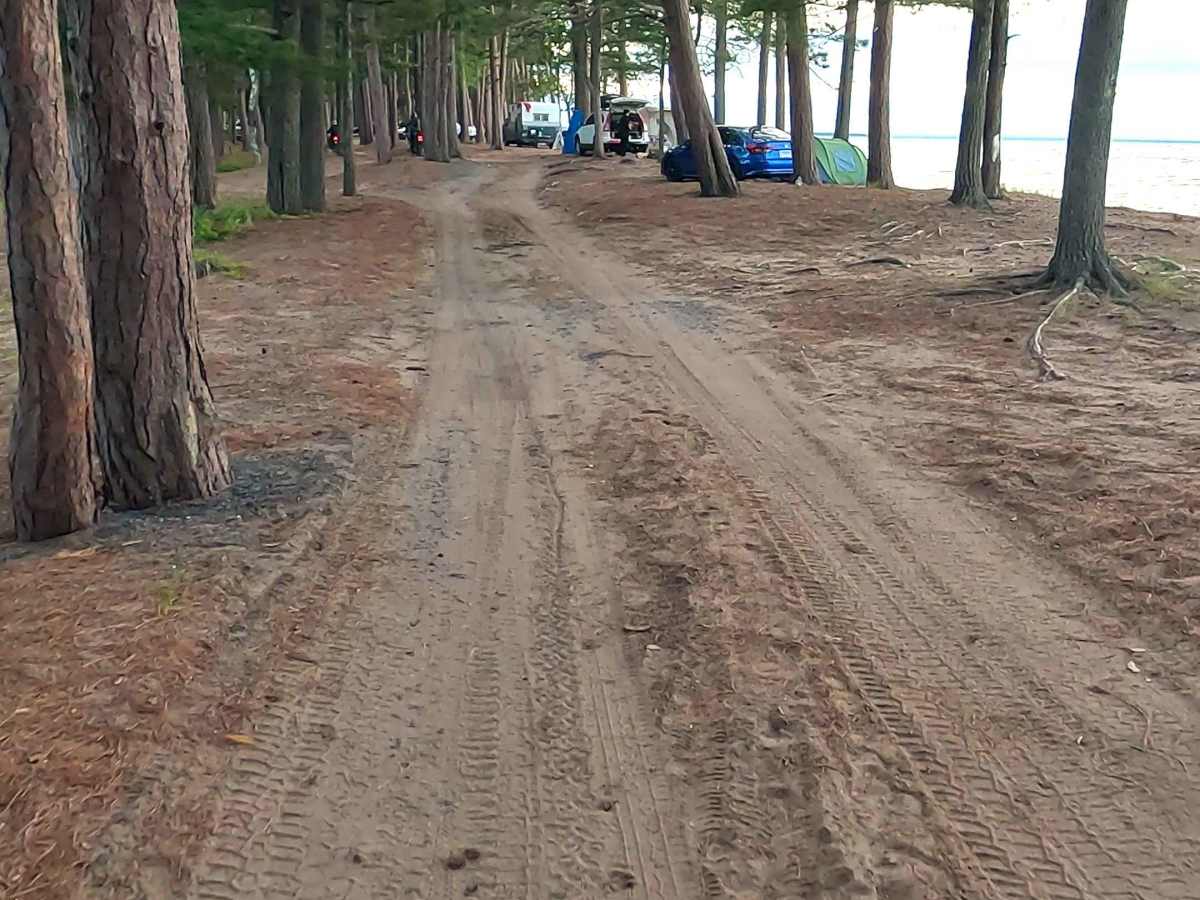
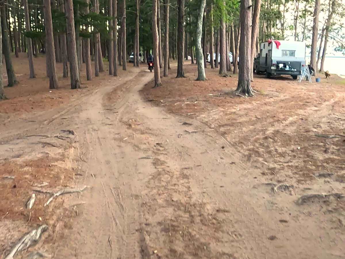
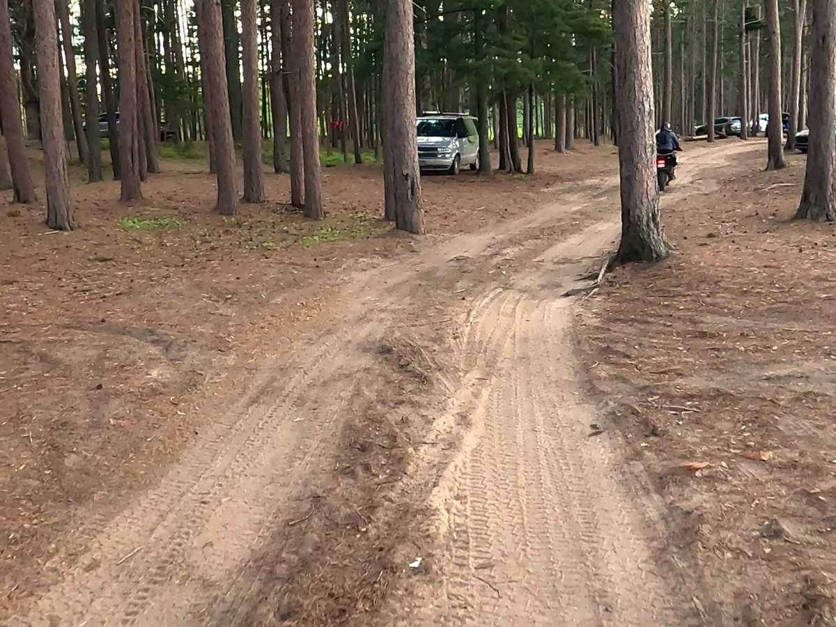
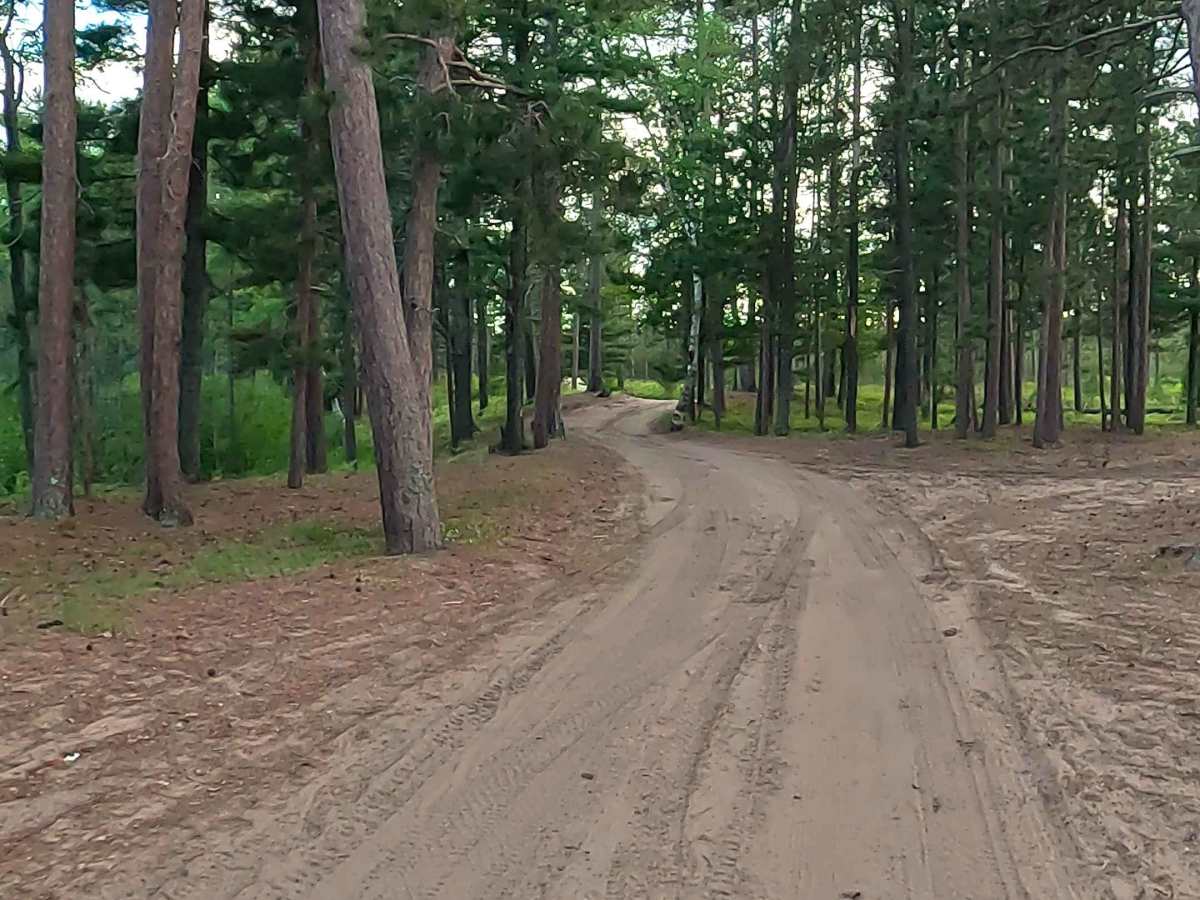
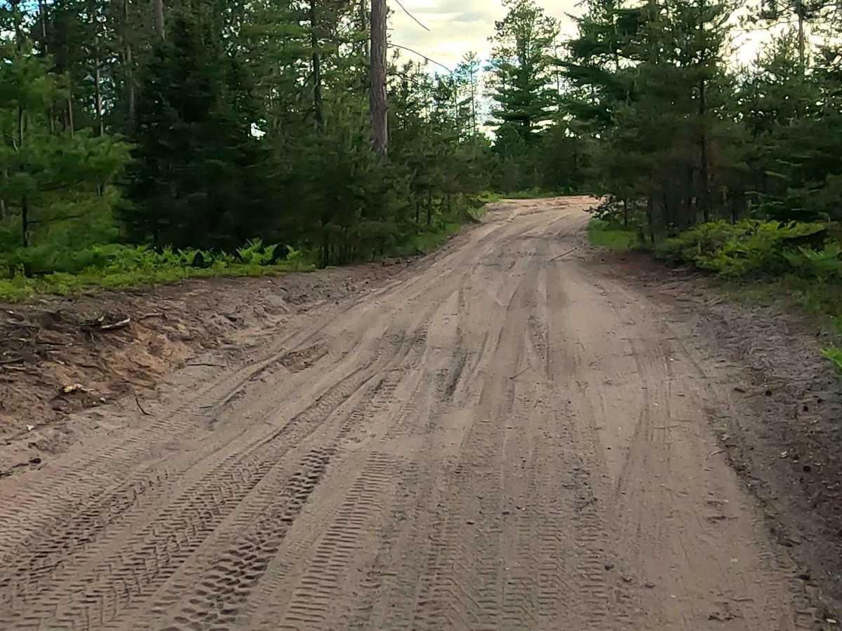
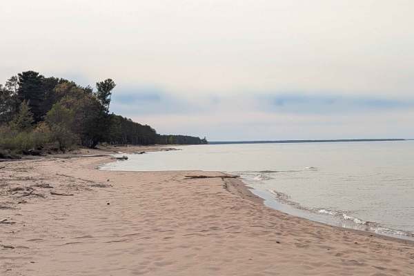
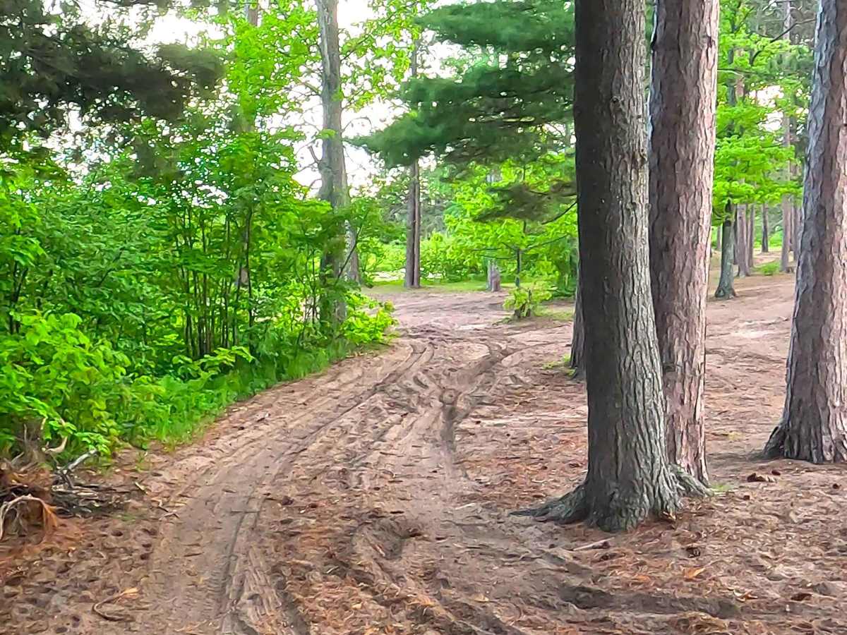
Huron Road is a state owned/ locally maintained, Level-2/ Level-3, "There-and-back" forest access route with a surface composition of sand, dirt, and native material (ex: leaves, pine needles, pine cones, sticks, branches). It offers access to the shoreline of Lake Superior and the mouth of the Huron River.

Photos of Huron Road

Difficulty

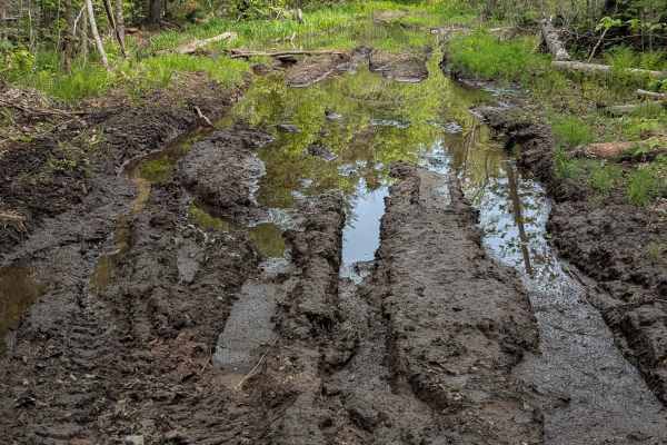
Sand, dirt, gravel, grass route typically unmaintained after rain or snow that may give rise to water crossings <12” and obstacles such as tree/ tree branches.

History

Huron Road (and the nearby Huron River/Bay Grade) near Big Bay, MI, is steeped in the Upper Peninsula's rugged wilderness and logging history. It traces remnants of the ill-fated 1890s Iron Range & Huron Bay Railroad, which cost over $2 million to build but was famously abandoned before ever hauling a single commercial load

Technical Rating

2

Huron Road Trail can be accessed by the following ride types:

  • Single Track
  • 50 Inch
  • 60 Inch
  • High Clearance
  • Full Width

Huron Road Map

The onX Offroad Difference

onX Offroad combines trail photos, descriptions, difficulty ratings, width restrictions, seasonality, and more in a user-friendly interface. Available on all devices, with offline access and full compatibility with CarPlay and Android Auto. Discover what you're missing today!

Open Trail Map