Red Rock Beach Trail

Total Miles0.9
Technical Rating
2Easy
Best TimeSpring, Summer, Fall
Trail TypeFull-Width Road
Accessible By
Open Trail Map

Trail Overview

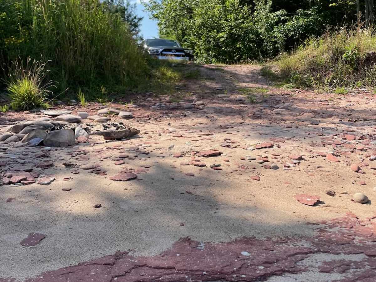
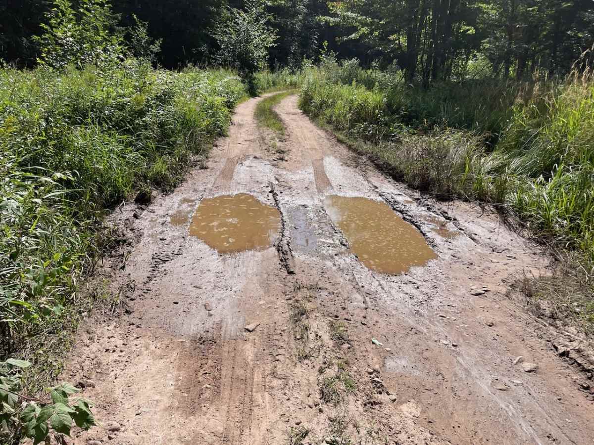
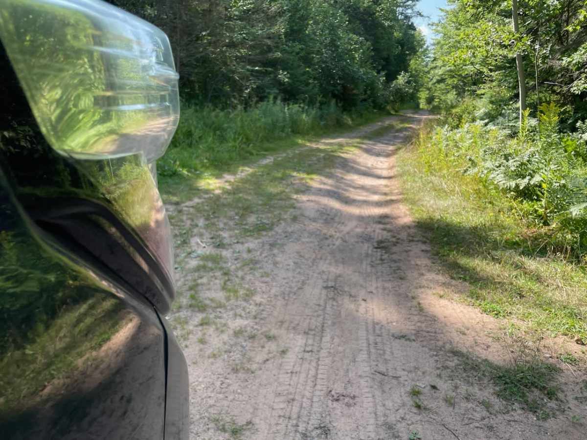
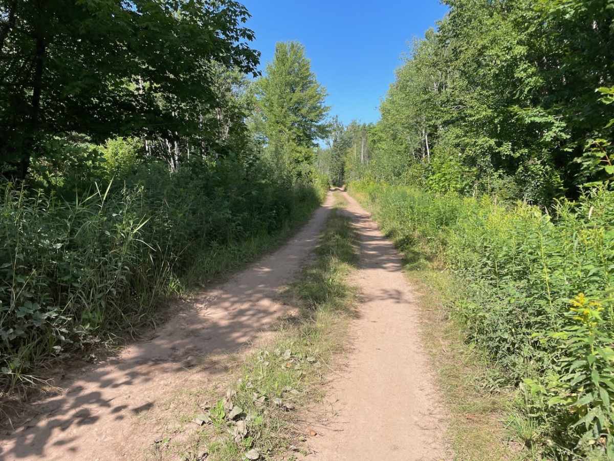
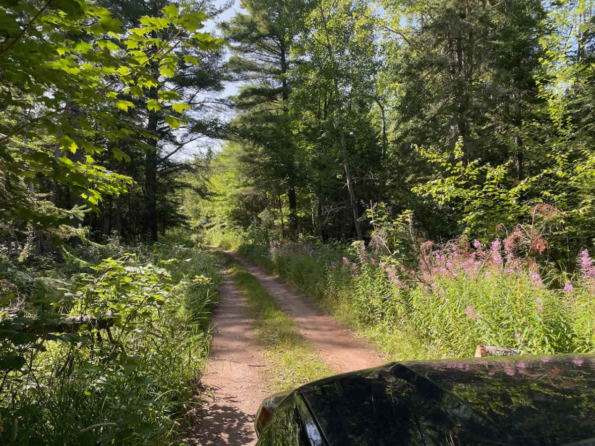
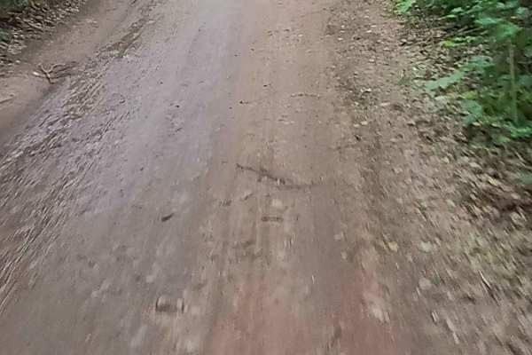
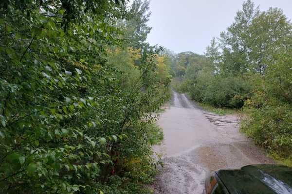
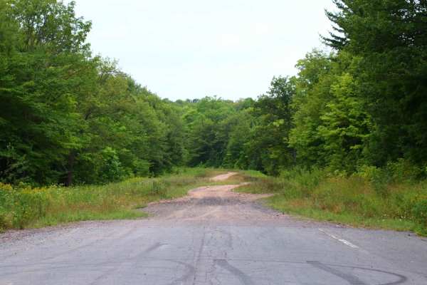
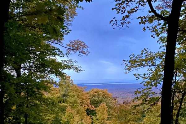
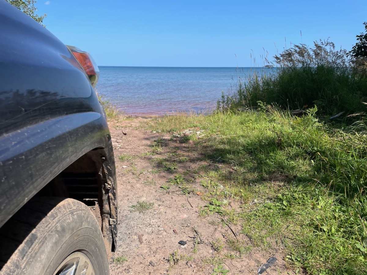
This is a short 1-mile two-track that leads out to a secluded beach with unique polka-dotted red rocks. It is just wide enough for a full-sized rig to avoid pin striping, and there isn't anywhere to pass. The surface is rock and dirt, and there are multiple mud puddles, but they have hard bottoms and no boulders. There are a couple that might get up to 12 inches deep in the Spring or after heavy rains. At the end of the trail, there is room to park three vehicles, a fire pit, and a beautiful view. On a clear day, you can see the Huron Mountains to the SE across Huron Bay with the multiple peaks of the Huron Mountain Club farthest East and Mount Arvon and Mount Curwood (rivals for the high point of MI) visible to the west of there. The beach is made of red bedrock with some sand over the top. We encountered this red sandstone in other places in Keweenaw, but this beach was special because the majority of the stones are polka-dotted with white sandstone. From this point, there is an amazing 2 miles of public but "secret" shoreline to be explored. Don't expect to have cell service. There are no facilities.

Photos of Red Rock Beach Trail

Difficulty

This is a mostly level two-track with a few places that will hold up to 12 inches of water in the wet season, but only 3 inches through the summer.

Technical Rating

2

Red Rock Beach Trail Trail can be accessed by the following ride types:

  • Single Track
  • 50 Inch
  • 60 Inch
  • High Clearance
  • Full Width

Red Rock Beach Trail Map

The onX Offroad Difference

onX Offroad combines trail photos, descriptions, difficulty ratings, width restrictions, seasonality, and more in a user-friendly interface. Available on all devices, with offline access and full compatibility with CarPlay and Android Auto. Discover what you're missing today!

Open Trail Map