
Dirt Bike Trails
Near Chemult, Oregon
Explore All Dirt Bike Trails Near Chemult, Oregon
Dirt Bike Trails Near Chemult, Oregon
Discover the best dirt bike trails near you. Browse trail maps, check difficulty ratings, and find your next adventure — whether you're looking for a quick ride or an all-day expedition.
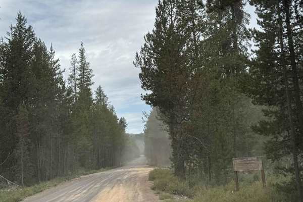
Corral Springs Road - FS 9774
This is a dirt-based forest road in the Crescent OHV area that runs from Highway 97 to FS 5840, where it connects to other trails. The trail climbs gradually around 1,400 feet in elevation over 7.8 miles, and passes the Corral Springs Campground. The trail has a railroad crossing and ruts/wash up to...
Learn more about Corral Springs Road - FS 9774
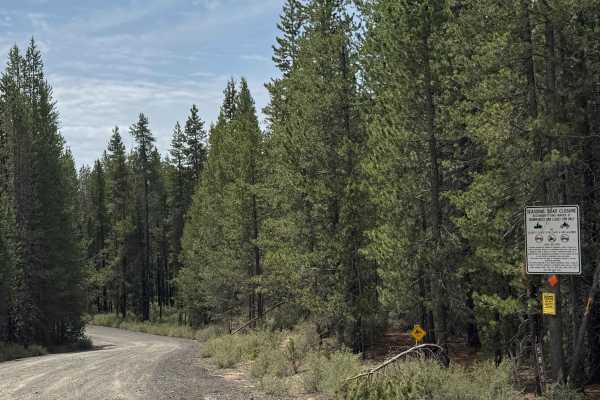
FS 5835
This is a gravel-based forest road in the Crescent OHV area. The trail has lots of washboard, which can make for a bumpy ride, and some minor ruts and wash. Overall, this is an easy trail that any vehicle type could traverse this trail. The trail crosses a small creek via a wooden bridge and offers ...
Learn more about FS 5835
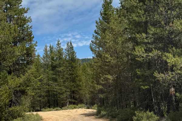
Little Walker Mountain - FS 9753
This is a narrow, one-lane dirt-based forest road with room to pass in the Crescent OHV area. The trail has minor ruts and washouts up to a foot deep and makes a loop from one side of Little Walker Mountain to the other. This trail is suitable for any vehicle type. The trail offers camping the entir...
Learn more about Little Walker Mountain - FS 9753
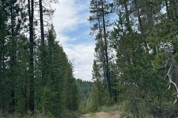
FS 9751-300
This is a narrow, dirt-based forest road. The trail crosses a power line that has a large dip on the backside, and there are ruts and washouts up to a foot deep. After crossing the power line, the trail runs alongside a set of railroad tracks for a ways until hooking back to the power line and runni...
Learn more about FS 9751-300
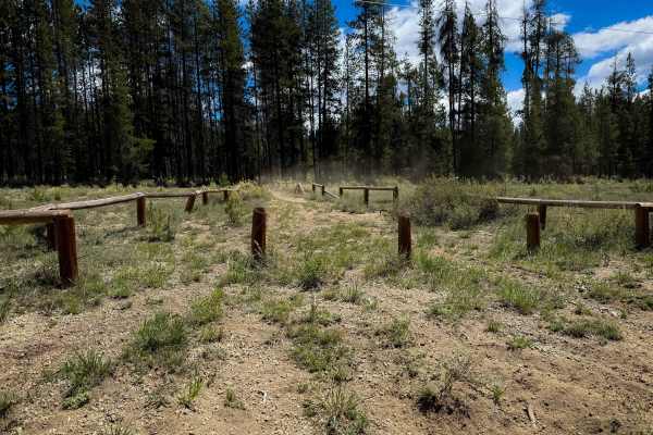
Trail 16
The west end of Trail 16 starts on FS Road 9751012 at some wooden fence posts, with a trail sign marked for ATVs and dirt bikes, specifically stating that side-by-sides are not allowed. The trail enters a forest of lodgepole pines, and narrows up right away, to where it would be tricky for ATVs to n...
Learn more about Trail 16
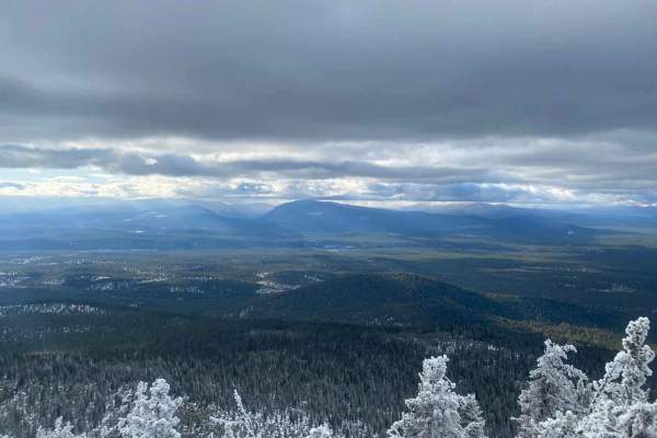
Valley Balcony
This adventure starts at Crooked Meadow, a gravel road made for logging trucks that cuts through the forest and ascends the Walker Rim. Off of Crooked Meadow Road, the trail numbered 9402 constricts down to a single-vehicle trial that is nicely graveled with flexible rubber water deflectors. Don't b...
Learn more about Valley Balcony
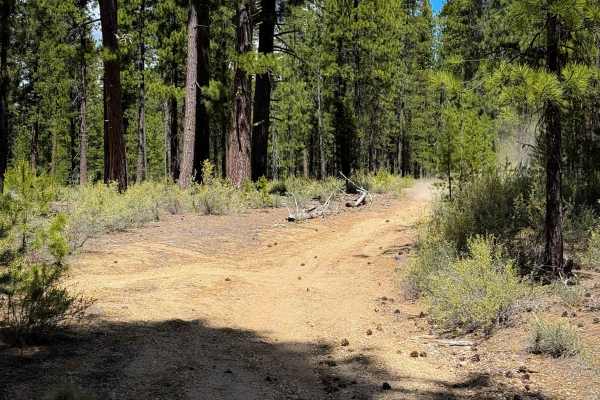
Trail 12
Trail 12 is a 1.4-mile easy ATV loop in the Rivers South OHV Area in the Deschutes National Forest. It makes a loop off of Trail 10. The trail is wide and mostly smooth dirt for the entire route. Watch out for shallow dips and bumps, but it is essentially free of any rocks or obstacles. The trail wa...
Learn more about Trail 12
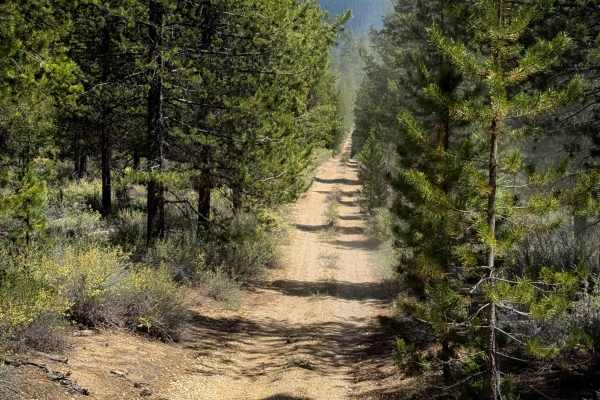
Trail 18
The north end of Trail 18 starts out going straight and fast on a wide path lined with lodgepole pine trees, but quickly narrows up in a tighter tree corridor, becoming very curvy. The trail is very silty and dusty, and later riding through a dry and sparse forest of ponderosa pines. There is very l...
Learn more about Trail 18
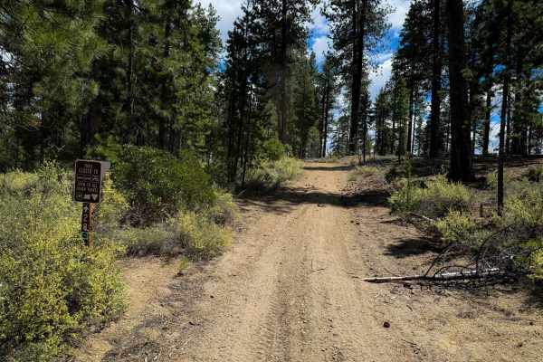
Trail 28
Trail 28 is a very easy and short route within the Rivers South OHV Area in the Deschutes National Forest, perfect for newer or younger riders. It makes a short loop that is easy for the entire 2-mile route. The trail is a wide dirt path, ideal for 50-inch vehicles, riding through a tree corridor li...
Learn more about Trail 28
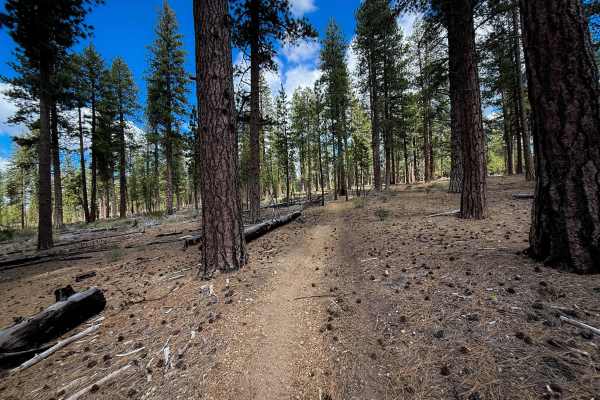
Trail 19
Trail 19 is an easy trail through the River South OHV Area in the Deschutes National Forest. Although designated for ATVs, a lot of the trail is narrow between the pine trees, which would feel tight for an ATV, and the trail looks mostly frequented by dirt bikes. The trail weaves through widely sepa...
Learn more about Trail 19
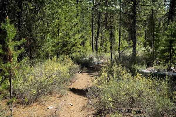
Trail 26
Trail 26 is a dirt-bike-only trail through the River South OHV Area. The trail is a narrow singletrack that winds tightly through a forest of skinny lodgepole pines. It has constant tight curves, and you have to watch your handlebars on the trees that closely line the path. The trail is smooth, silt...
Learn more about Trail 26
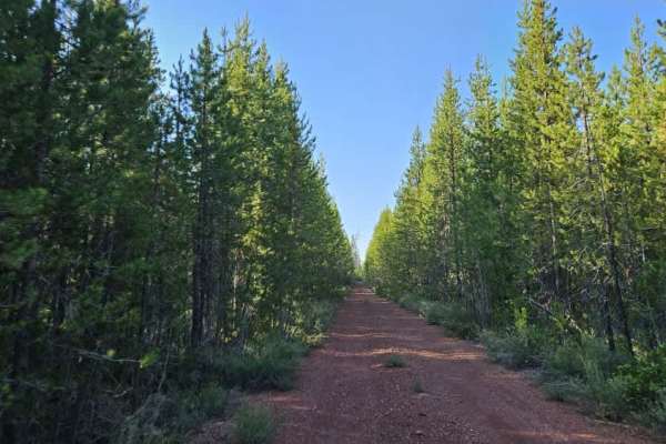
FS 8604000
This well-maintained trail is a long but exceptionally scenic route and is considered one of the highlights within the Fremont-Winema National Forest trail network. The beginning and end sections of the trail are wide, smooth, and well-maintained, providing enough space for most vehicles, including ...
Learn more about FS 8604000
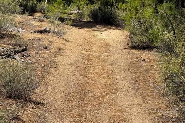
Trail 20
Trail 20 is an easy and wide ATV trail through the River South OHV Area. The trail is of decent width for 50-inch vehicles, riding between a wide corridor of pine trees, on a mostly straight, fast, and smooth dirt path. It is very silty and dusty in a dry forest of ponderosa pine and lodgepole pine....
Learn more about Trail 20
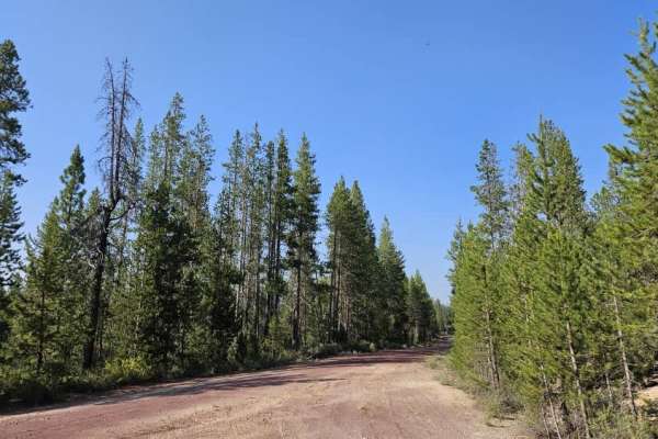
Davis Flat
This trail is a well-maintained route that connects from Crooked Meadow down through the surrounding trail network. It provides access to numerous spur roads and side trails, making it a useful route for exploring the area. The surface consists primarily of gravel and sandy gravel, with the trail co...
Learn more about Davis Flat
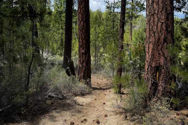
Trail 21
Trail 21 departs from Trail 14 and starts descending off the hillside on a semi-steep grade, dropping down to a road crossing. It continues winding through the trees on a tight path, with silty corners. It is a very dry and dusty forest of lodgepole pines, and the trees closely line the path in many...
Learn more about Trail 21
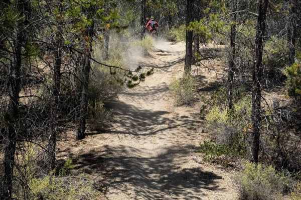
Trail 14
Trail 14 is 1.7 miles of easy ATV trail through the Rivers South OHV Area. The north end of the trail leaves directly from the Rivers South Staging Area and climbs up a steeper hill with a small root at the top. The trail keeps climbing up a semi-steep slope for the first mile until it intersects wi...
Learn more about Trail 14
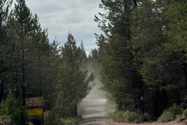
FS 9751
This is a narrow, one-lane forest road in the Crescent OHV area that is dirt-based with sandy areas. There are ruts and washouts up to a foot deep, and one section in a curve and uphill grade with loose sand, but this trail is easy and suitable for any vehicle type. Camping is allowed along this ent...
Learn more about FS 9751

FS 9751-100
This is a narrow, dirt-based forest road in the Crescent OHV area. There are minor ruts and wash on the trail, but any vehicle type could traverse this trail. You will have dense forest views and the occasional view of surrounding peaks. About halfway through this trail, there is a large dispersed c...
Learn more about FS 9751-100
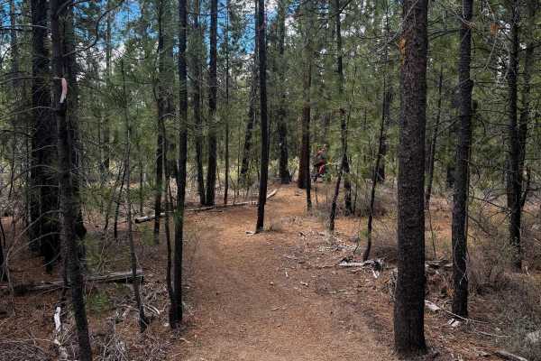
Trail 37
Trail 37 is a 1.6 mile long easy ATV trail through the Rivers South OHV Area in the Deschutes National Forest. The trail is open to 50” vehicles, but looks more ridden by dirt bikes, and would be a bit narrow for ATVs in many places. The north end starts off of FS 9751000, just a short distance away...
Learn more about Trail 37
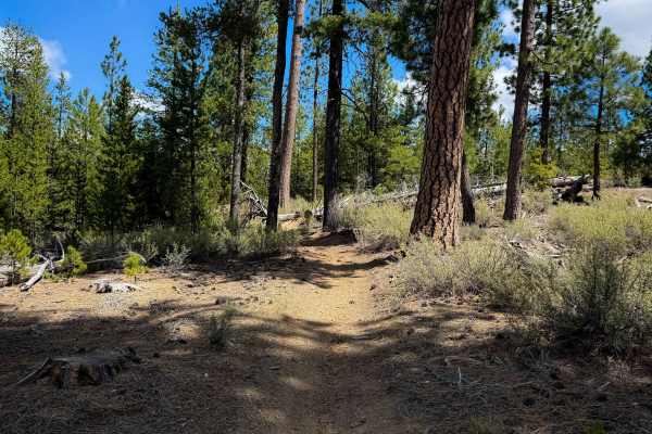
Trail 31
Trail 31 is an easy 2.2-mile segment of ATV trail in the Rivers South OHV Area. Although designated for 50-inch ATVs, parts of the trail are rather tight between the lodgepole pines that closely line the trail, making it less ideal for ATVs, and the trail looks mostly ridden by dirt bikes. There are...
Learn more about Trail 31
ATV trails near Chemult, Oregon
Explore ATV-friendly trails near you. These trails are accessible for vehicles up to 50 inches wide, perfect for ATVs and smaller off-road machines.
Corral Springs Road - FS 9774
This is a dirt-based forest road in the Crescent OHV area that runs from Highway 97 to FS 5840, where it connects to other trails. The trail climbs gradually around 1,400 feet in elevation over 7.8 miles, and passes the Corral Springs Campground. The trail has a railroad crossing and ruts/wash up to...
Learn more about Corral Springs Road - FS 9774
FS 5835
This is a gravel-based forest road in the Crescent OHV area. The trail has lots of washboard, which can make for a bumpy ride, and some minor ruts and wash. Overall, this is an easy trail that any vehicle type could traverse this trail. The trail crosses a small creek via a wooden bridge and offers ...
Learn more about FS 5835
Little Walker Mountain - FS 9753
This is a narrow, one-lane dirt-based forest road with room to pass in the Crescent OHV area. The trail has minor ruts and washouts up to a foot deep and makes a loop from one side of Little Walker Mountain to the other. This trail is suitable for any vehicle type. The trail offers camping the entir...
Learn more about Little Walker Mountain - FS 9753
FS 9751-300
This is a narrow, dirt-based forest road. The trail crosses a power line that has a large dip on the backside, and there are ruts and washouts up to a foot deep. After crossing the power line, the trail runs alongside a set of railroad tracks for a ways until hooking back to the power line and runni...
Learn more about FS 9751-300
UTV/side-by-side trails near Chemult, Oregon
Find UTV and side-by-side trails near you. These trails accommodate vehicles up to 60 inches wide, ideal for UTVs, side-by-sides, and wider off-road rigs.
Corral Springs Road - FS 9774
This is a dirt-based forest road in the Crescent OHV area that runs from Highway 97 to FS 5840, where it connects to other trails. The trail climbs gradually around 1,400 feet in elevation over 7.8 miles, and passes the Corral Springs Campground. The trail has a railroad crossing and ruts/wash up to...
Learn more about Corral Springs Road - FS 9774
FS 5835
This is a gravel-based forest road in the Crescent OHV area. The trail has lots of washboard, which can make for a bumpy ride, and some minor ruts and wash. Overall, this is an easy trail that any vehicle type could traverse this trail. The trail crosses a small creek via a wooden bridge and offers ...
Learn more about FS 5835
Little Walker Mountain - FS 9753
This is a narrow, one-lane dirt-based forest road with room to pass in the Crescent OHV area. The trail has minor ruts and washouts up to a foot deep and makes a loop from one side of Little Walker Mountain to the other. This trail is suitable for any vehicle type. The trail offers camping the entir...
Learn more about Little Walker Mountain - FS 9753
FS 9751-300
This is a narrow, dirt-based forest road. The trail crosses a power line that has a large dip on the backside, and there are ruts and washouts up to a foot deep. After crossing the power line, the trail runs alongside a set of railroad tracks for a ways until hooking back to the power line and runni...
Learn more about FS 9751-300
The onX Offroad Difference
onX Offroad combines trail photos, descriptions, difficulty ratings, width restrictions, seasonality, and more in a user-friendly interface. Available on all devices, with offline access and full compatibility with CarPlay and Android Auto. Discover what you're missing today!
Open Trail Map