Trail Overview
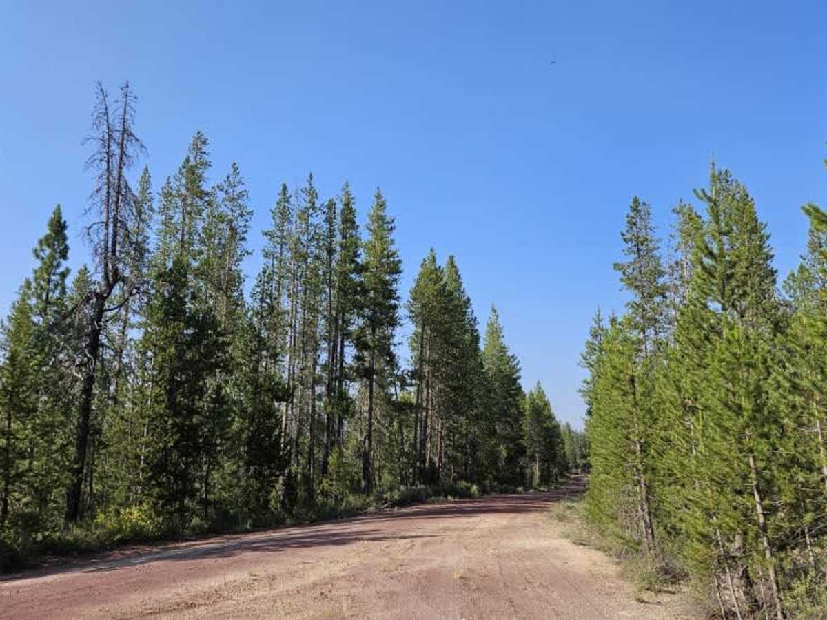
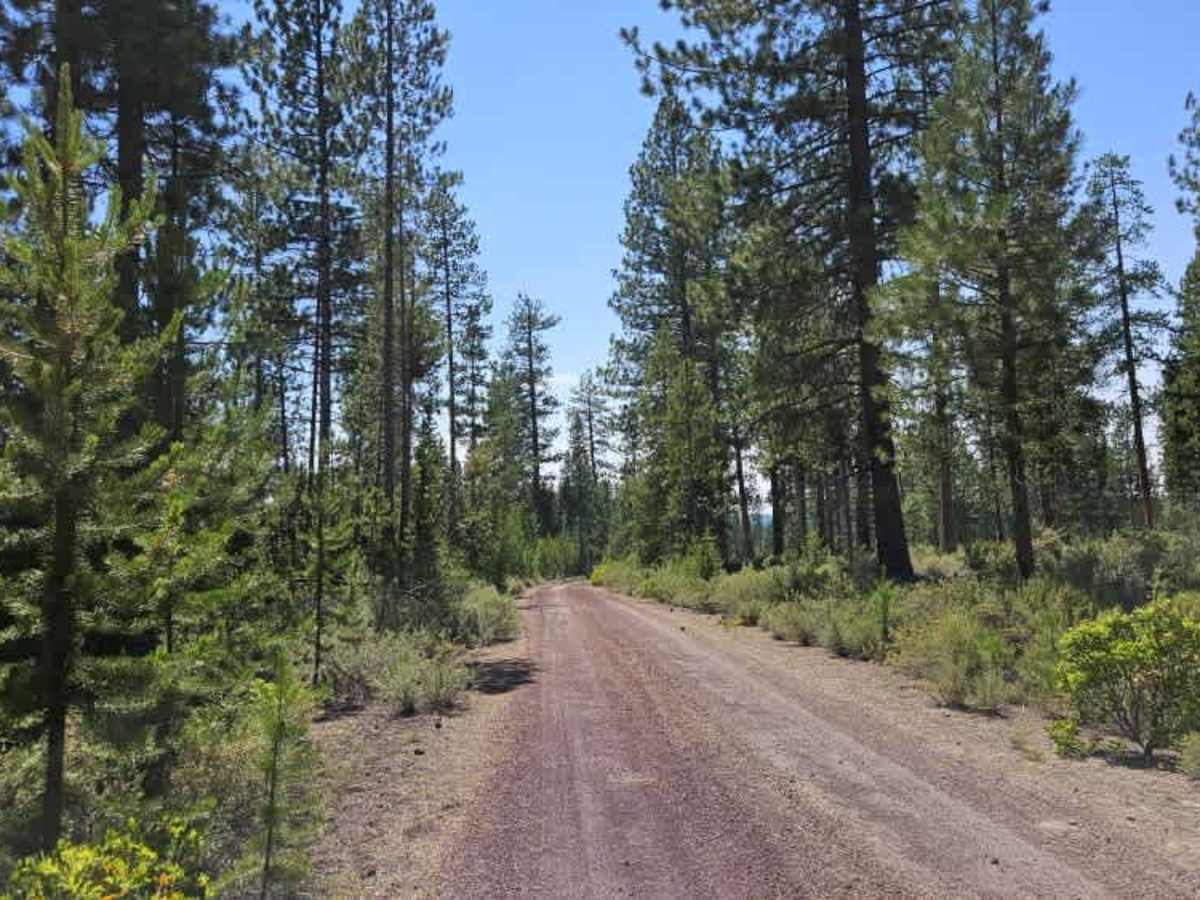
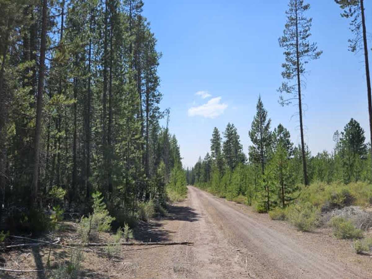
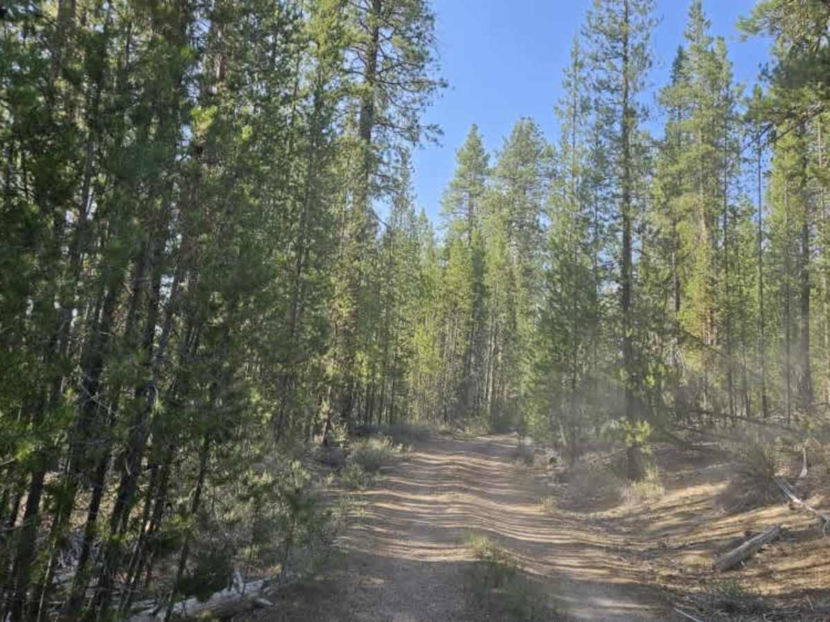
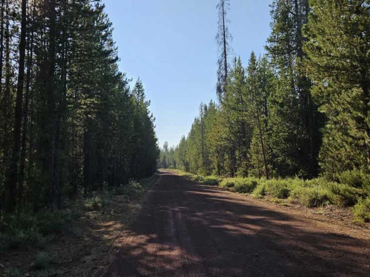
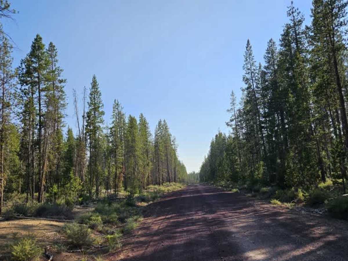
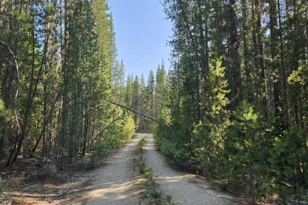
This trail is a well-maintained route that connects from Crooked Meadow down through the surrounding trail network. It provides access to numerous spur roads and side trails, making it a useful route for exploring the area. The surface consists primarily of gravel and sandy gravel, with the trail conditions changing throughout the route. Most sections are smooth and well maintained, although some uphill and downhill areas show signs of water erosion from rainfall, creating slightly rougher sections of roadway. Evidence of regular maintenance is clear, with fallen trees and branches being cut and cleared from the trail. However, some of the clearing work has left tree trunks and branches extending into the roadway, creating potential hazards for vehicles. Drivers should use caution, especially with wider vehicles, ATVs, and SxSs, as these protruding branches could cause damage if not carefully avoided. Overall, this is a scenic and enjoyable maintained trail with plenty of opportunities to explore nearby routes.