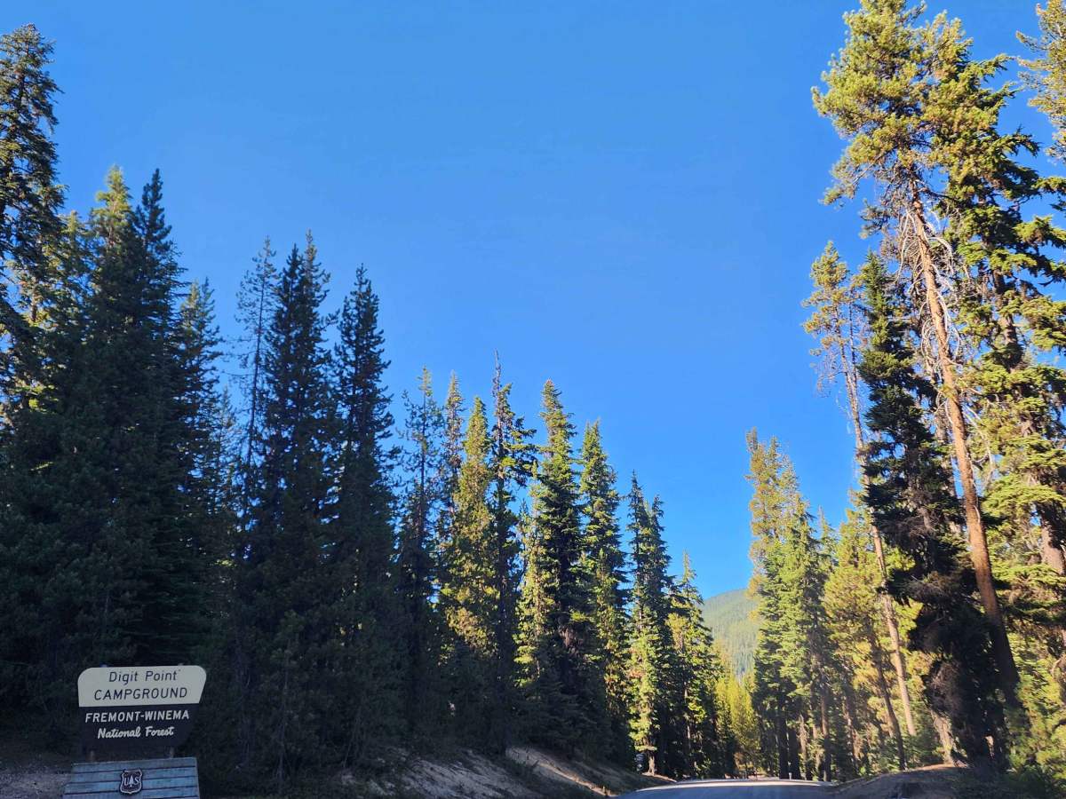
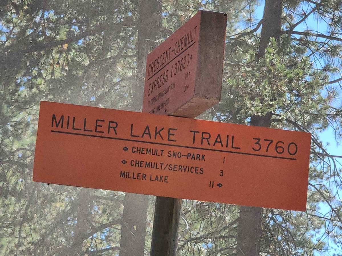
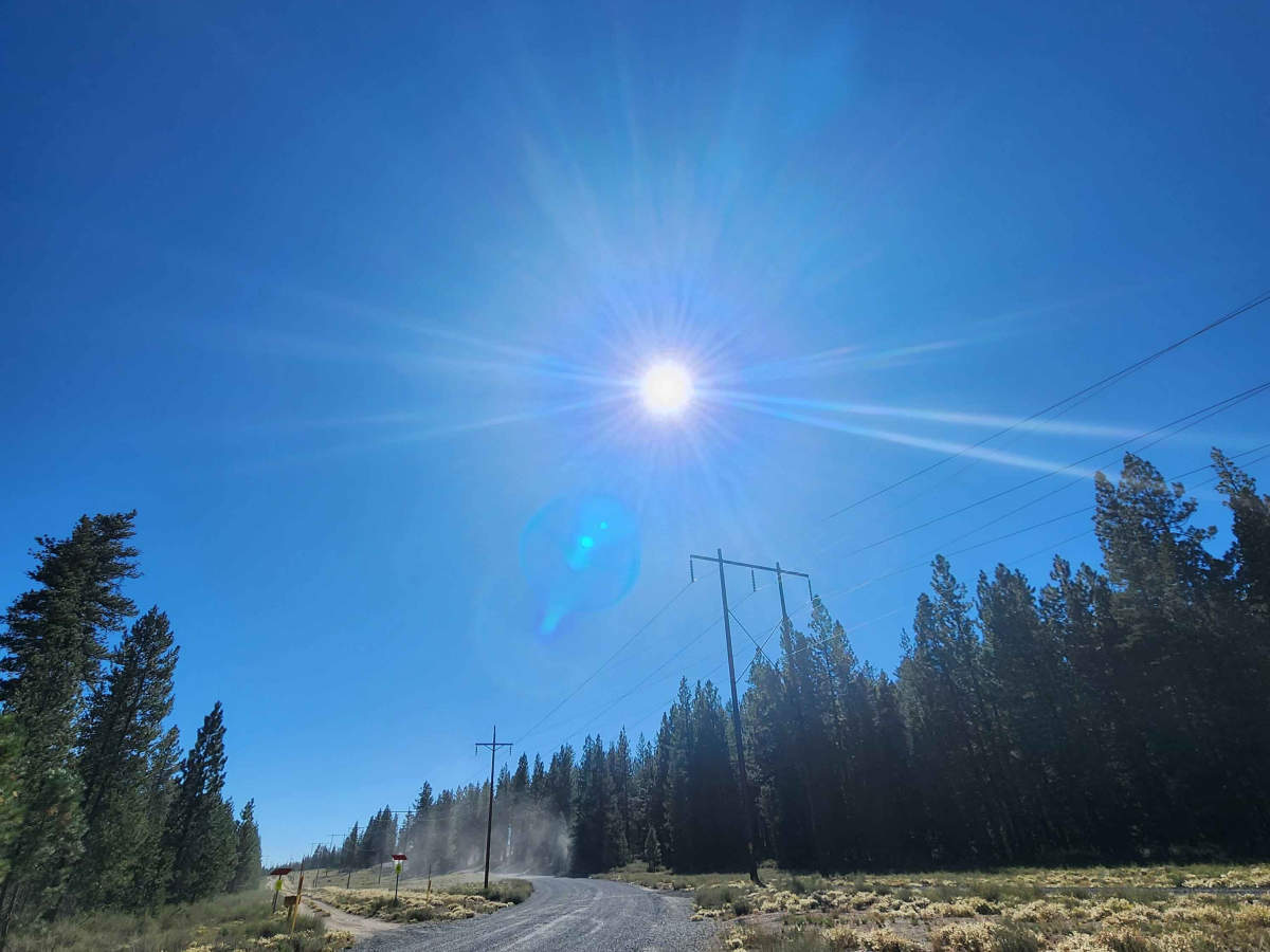
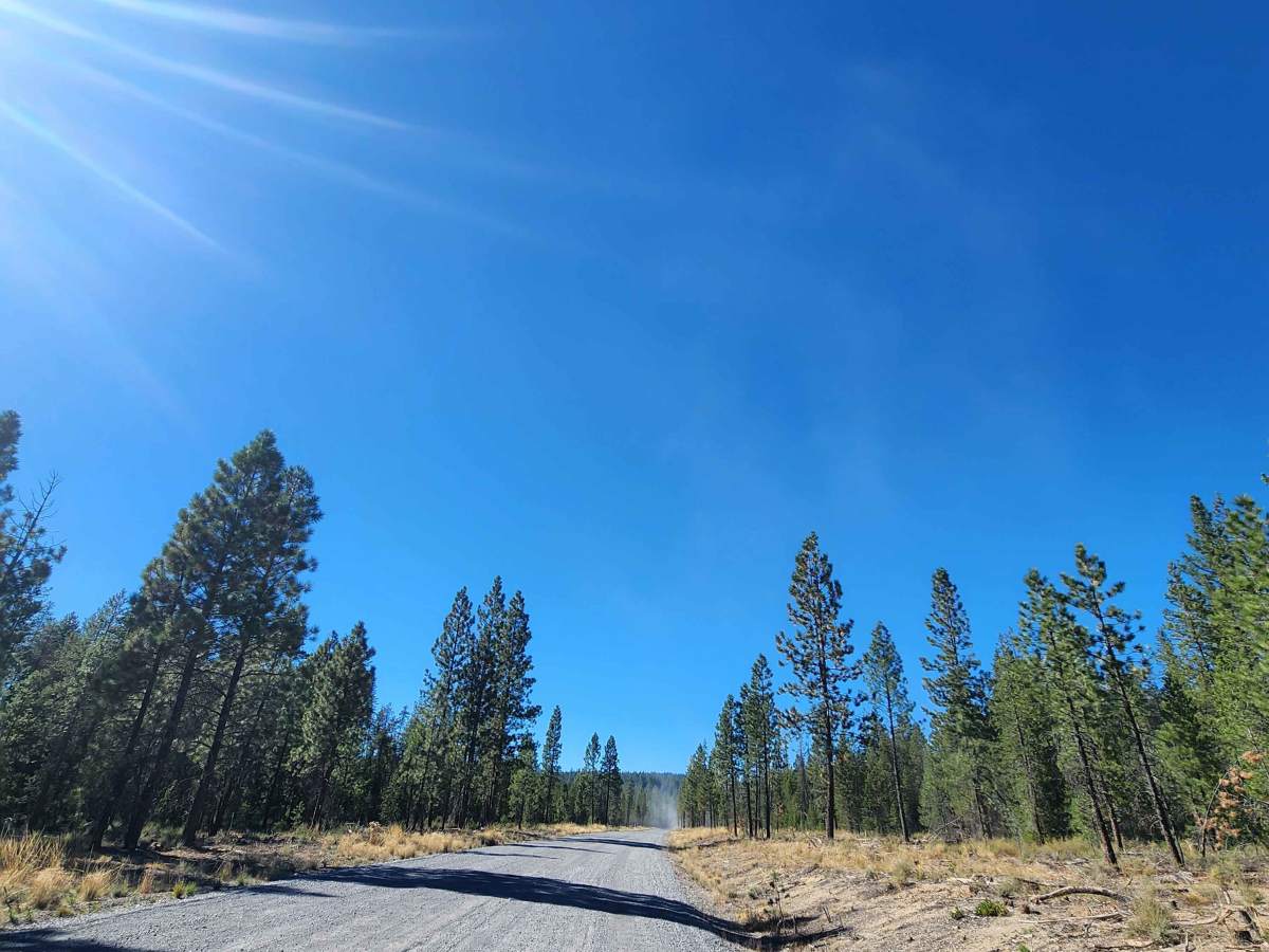
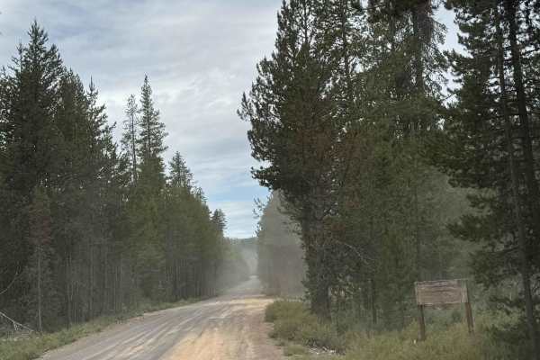
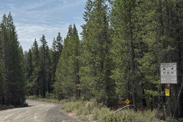
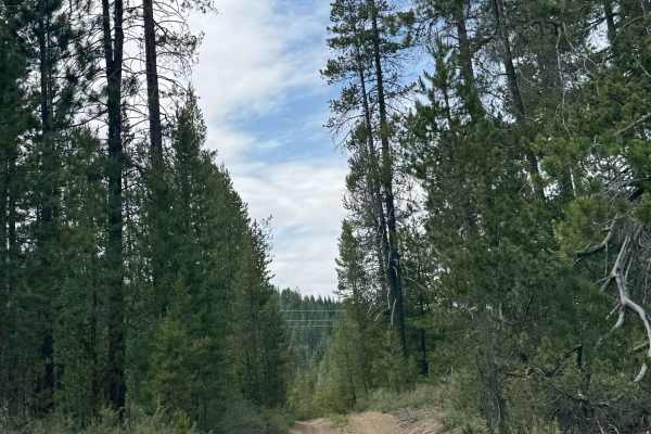
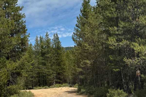
Trail Overview
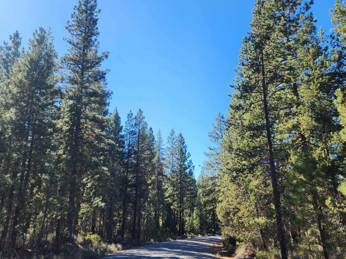
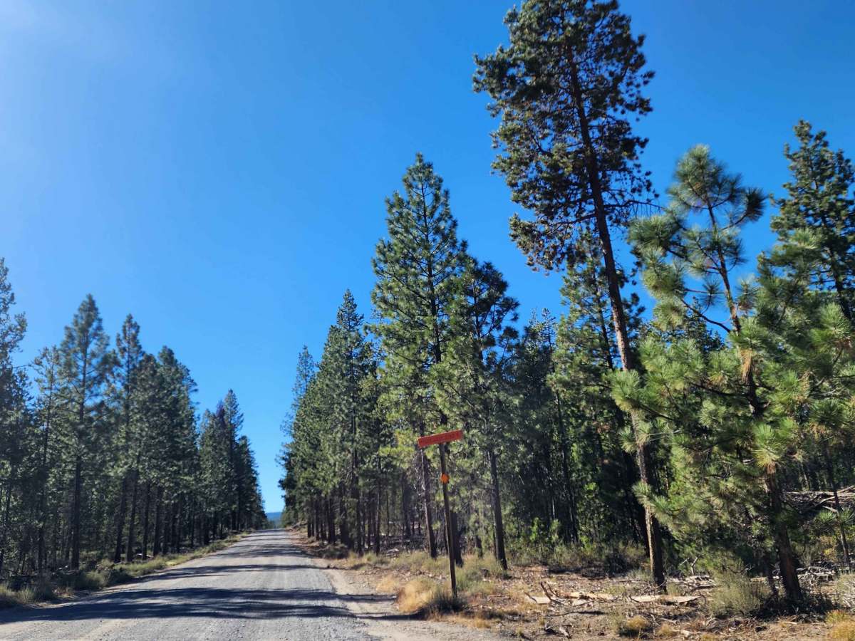
Forest Road 9772 runs along the south shore of Miller Lake and serves as the primary access point for the Digit Point Day-Use Area and Miller Lake Trailhead (#3725). It is a standard forest road, generally gravel-surfaced, suitable for passenger vehicles and small trailers. The road winds gently through mixed conifer forest, providing direct access to lakefront parking, picnic areas, and boat launches. It connects to surrounding forest roads, allowing access to other trailheads and recreational areas, but the road itself is not a hiking or biking trail—it’s primarily used for vehicle access to the lake and trailheads.
History
The Miller Lake Trail, part of the Fremont‑Winema National Forest, has a history closely tied to federal forest and wilderness management rather than documented early exploration. The forest itself was established in 1908, and the trail connects to the Mt. Thielsen Wilderness, designated in 1984. Geologically, the area is shaped by Cascade volcanism, with Mount Thielsen as an extinct volcano, creating the ridges, forest types, and rugged terrain the trail passes through. The trail is officially maintained by the Forest Service and connects to the Maidu Lake Trail, which eventually links to the Pacific Crest Trail, with wilderness regulations and seasonal closures in effect. Historically, the lake and its surrounding trails have also been shaped by fisheries management, including the construction of a fish barrier to control lamprey populations, showing active ecological stewardship. While detailed records of the trail’s original construction or early human use are scarce, Forest Service planning documents indicate that Miller Lake Trail has long been managed as a primary use trail for hiking, camping, and fishing, balancing recreation with preservation of the sensitive wilderness environment.