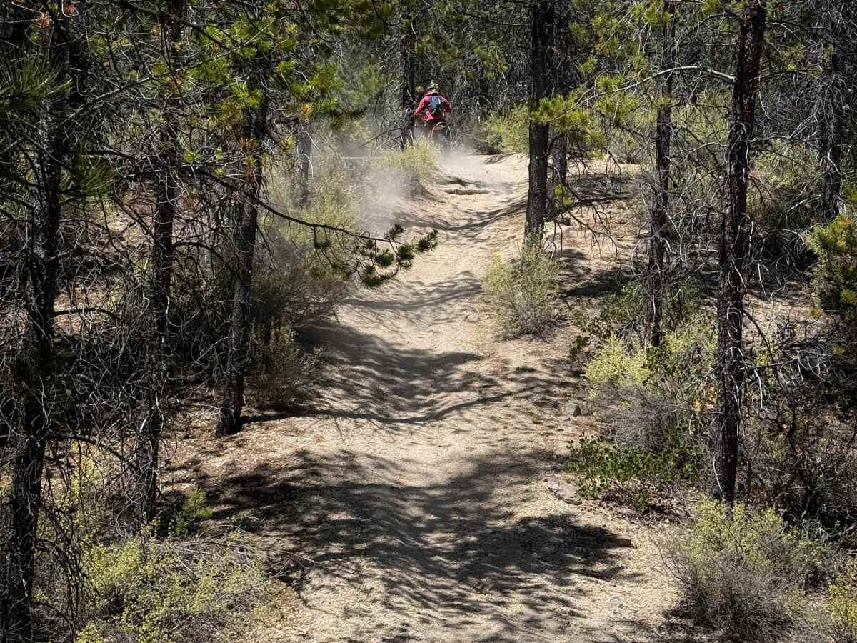
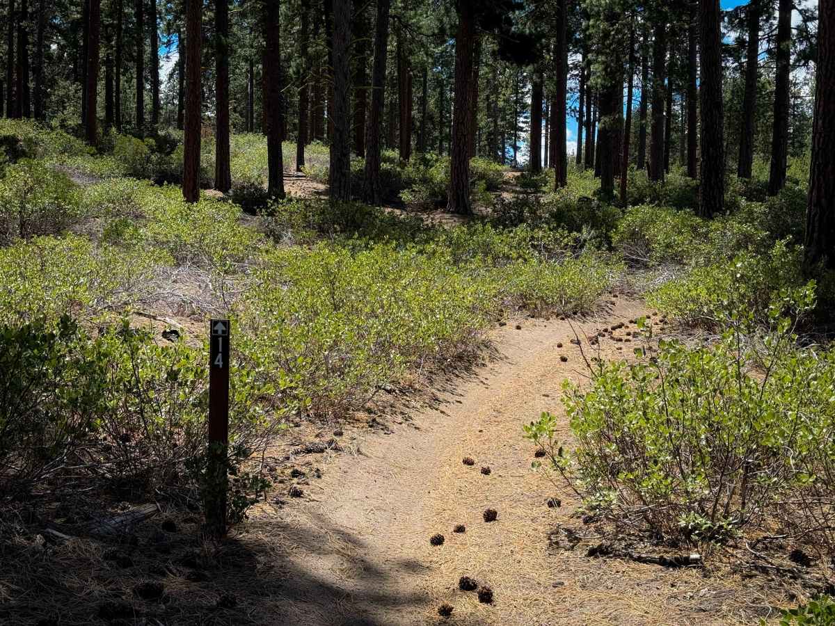
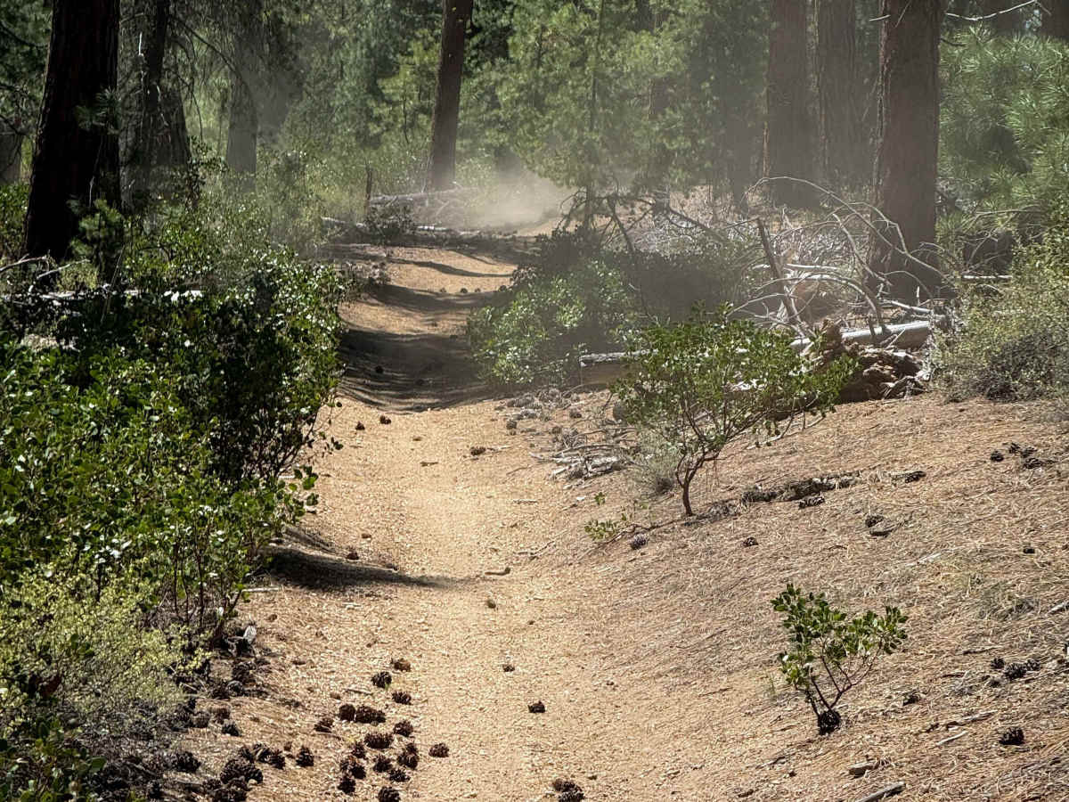
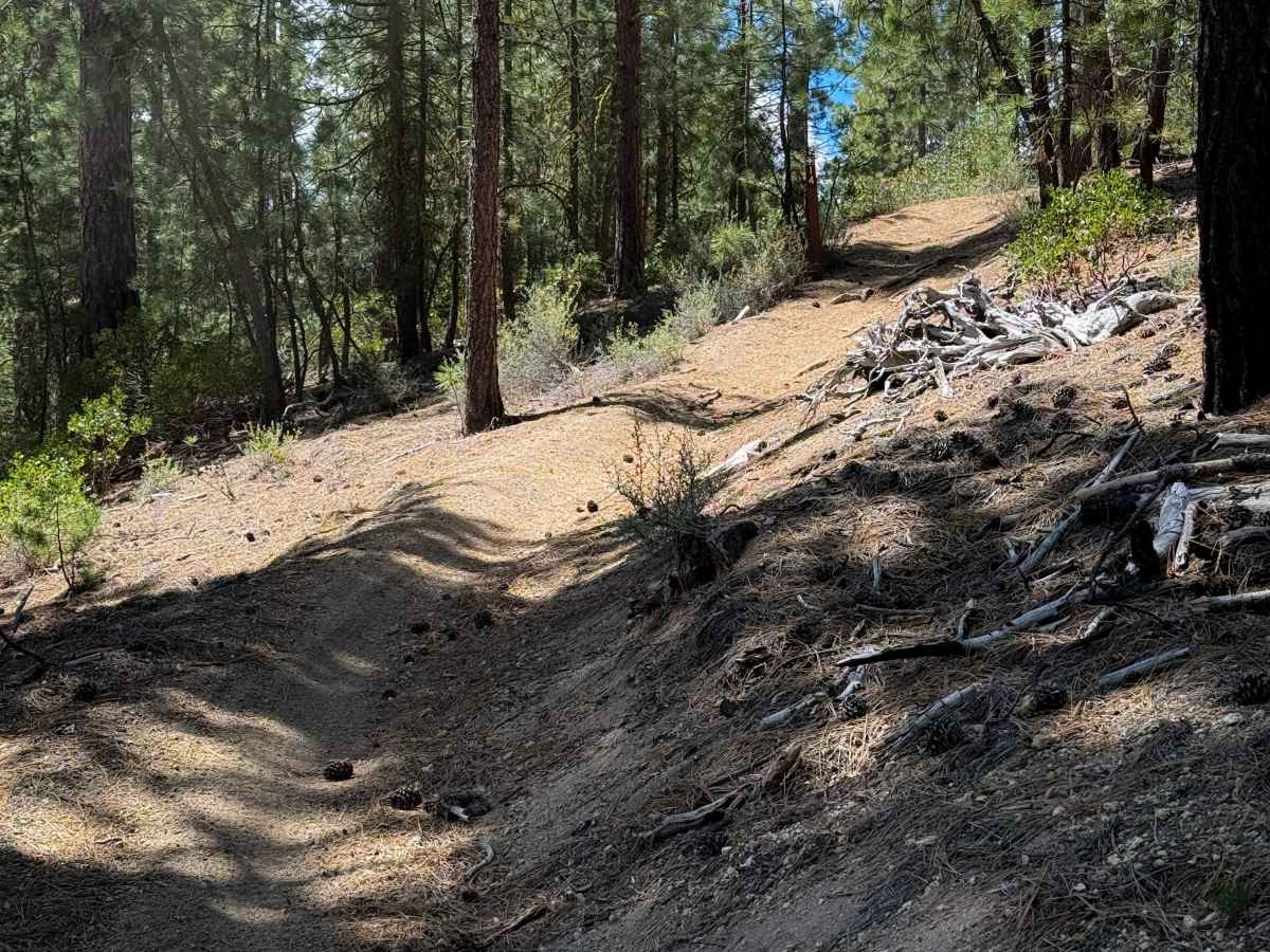
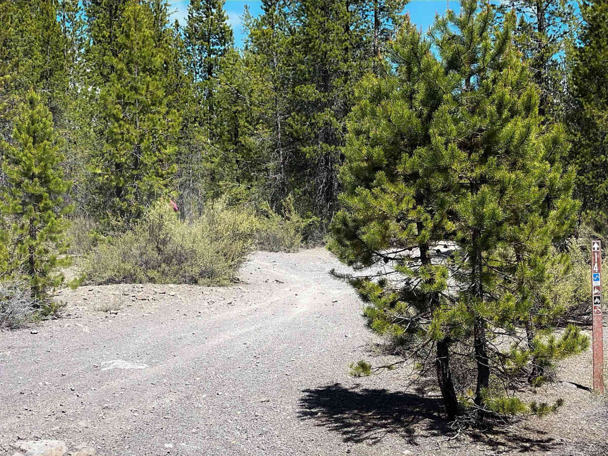
Trail Overview
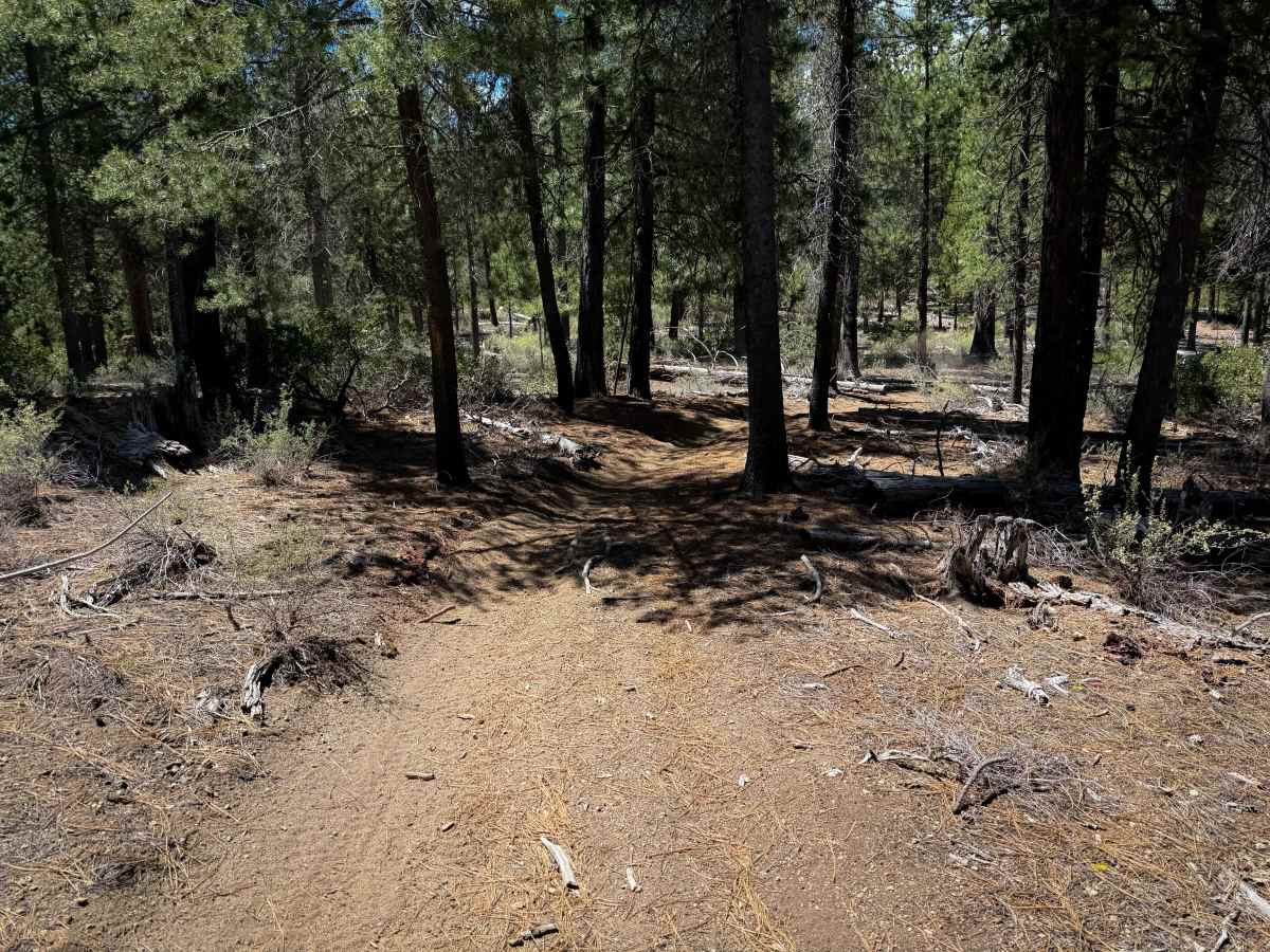
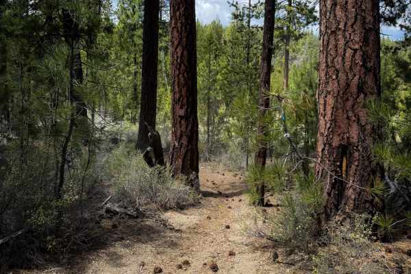
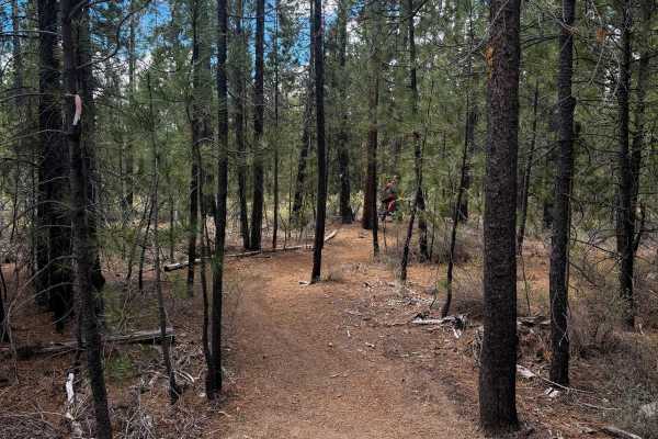
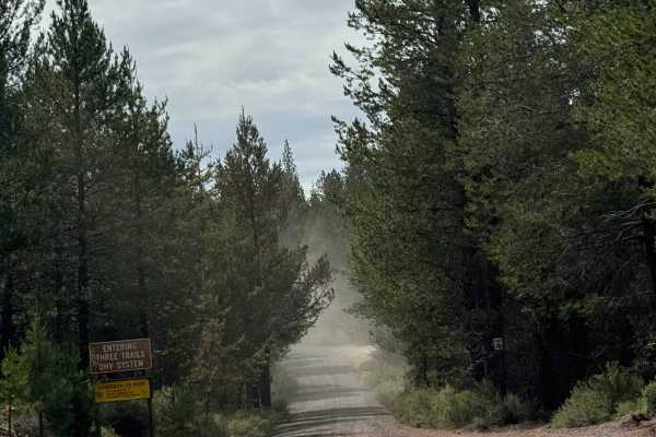
Trail 14 is 1.7 miles of easy ATV trail through the Rivers South OHV Area. The north end of the trail leaves directly from the Rivers South Staging Area and climbs up a steeper hill with a small root at the top. The trail keeps climbing up a semi-steep slope for the first mile until it intersects with singletrack Trail 21. Then it descends back down, followed by a few more steep, but short, hill climbs as it winds its way south to connect to FS Road 9751000. The entire route is very tight and winding, as the trail constantly curves through the lodgepole pines. While it is designated for 50-inch vehicles, there are several spots that may feel narrow for ATVs between the pine trees, and it looks more frequented by dirt bikers.
Difficulty
This trail is rated as More Difficult within the trail system by the Forest Service; however, it is still an easy trail as it has no big obstacles, is essentially free of any rocks, and has only mild elevation change. There are a couple of short and steep climbs that add to the technical rating, but they are still approachable for less experienced riders. ATVs should expect narrow terrain.