
Dirt Bike Trails
Near Burney, California
Explore All Dirt Bike Trails Near Burney, California
Dirt Bike Trails Near Burney, California
Discover the best dirt bike trails near you. Browse trail maps, check difficulty ratings, and find your next adventure — whether you're looking for a quick ride or an all-day expedition.
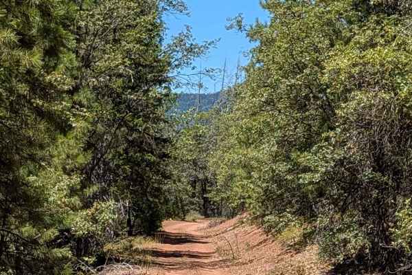
Pit River Rim - FS 36N20
This 6+ mile out-and-back trail starts and ends on Pit Goose Valley, traveling through the Lassen National Forest amid lots of ponderosa pine trees, California black oak, manzanita, and other flora. The trail surface consists of hard-packed dirt that is dusty throughout the drive. The route runs alo...
Learn more about Pit River Rim - FS 36N20
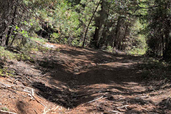
Pit Southwest Mountain - FS 36N21
This 3-mile out-and-back trail starts and ends on Pit Goose Valley, climbing over 730 feet in a short distance within the Lassen National Forest. The route travels through a landscape surrounded by lots of ponderosa pine trees, creating a classic forest driving experience throughout the climb. The t...
Learn more about Pit Southwest Mountain - FS 36N21
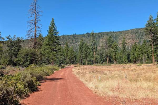
Pit Long Valley - FS 35N15
This 9-mile out-and-back trail starts on Clark Creek Road and travels through the Lassen National Forest, surrounded by a forest of ponderosa trees and manzanita bushes. The trail surface consists of hard-packed dirt that can get very dusty throughout the drive. Heading south, views of Lookout Mount...
Learn more about Pit Long Valley - FS 35N15
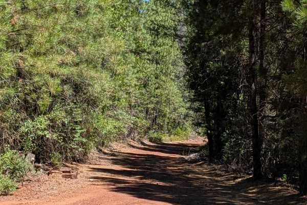
Pit Goose Valley - FS 36N14
This trail starts on Clark Creek Road and cuts through the Lassen National Forest as well as some private land, so staying on the trail is essential to respect these boundaries. Wood cutting is not allowed along this route. The trail climbs almost 1,300 feet and drops over 600 feet, creating signifi...
Learn more about Pit Goose Valley - FS 36N14
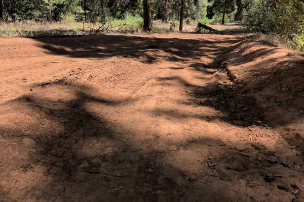
Pit Long Valley Spur - FS 36N08
This 2-mile out-and-back trail starts and ends at Pit Goose Valley Trail, climbing over 313 feet within the Lassen National Forest through a pine forest environment. The trail surface consists of packed, dusty dirt that starts wide and narrows as the route progresses. The trail immediately starts cl...
Learn more about Pit Long Valley Spur - FS 36N08
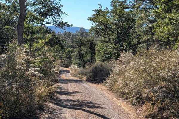
Pit Canyon Flat - FS 37N57Y
This trail cuts through the Lassen National Forest, surrounded by lots of black oak trees within a small canyon setting. The trail surface consists of hard-packed dirt with some gravel, maintaining a width of one vehicle throughout the route. Many views of the surrounding mountains accompany the dri...
Learn more about Pit Canyon Flat - FS 37N57Y
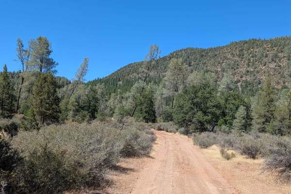
West Fort Mountain - FS 37N02Y
This 6-mile out-and-back trail starts and ends on Soldier Mountain Reservoir - FS 37N03, traveling through the Lassen National Forest surrounded by oaks and pine trees. The trail surface consists of hard-packed dirt and gravel, providing generally stable footing at the outset of the route.
Various m...
Learn more about West Fort Mountain - FS 37N02Y
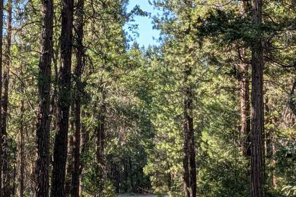
Soldier Mountain Lookout - FS 38N03
This 10-mile out-and-back trail climbs over 1,700 feet in 5 miles, starting and returning to Soldier Mountain Reservoir - FS 37N03. The trail travels through the Lassen National Forest, surrounded by lots of black oak and pine trees throughout the substantial climb. The trail surface consists of har...
Learn more about Soldier Mountain Lookout - FS 38N03
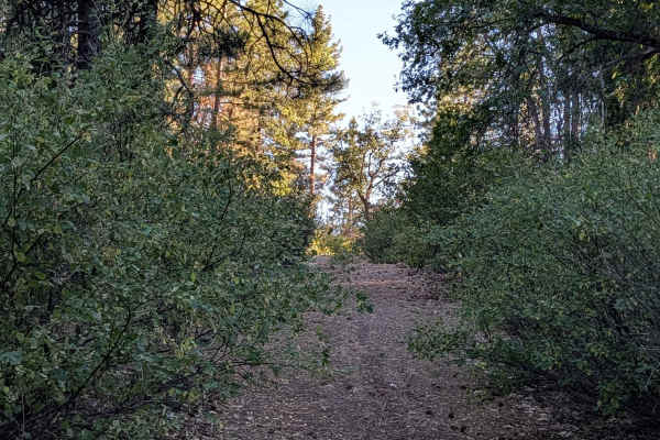
Fort Mountain - FS 53052
This 2.5-mile out-and-back trail is short but demanding, climbing over 400 feet along a steep shelf ridge with a few switchbacks before ending at the top of Fort Mountain. The trail is very narrow with lots of overgrown deer brush throughout, and drivers will get pinstripes as they push through thi...
Learn more about Fort Mountain - FS 53052
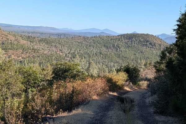
Pit Warner Grade - FS 37N01
This 3-mile point-to-point trail starts and ends on Soldier Mtn Reservoir - FS 37N03 and ends on Pit Canyon Flat - FS 37N57Y, traveling through the Lassen National Forest in an area featuring a mix of pine and oak trees along with some small grassy meadows. The trail surface consists of hard-packed ...
Learn more about Pit Warner Grade - FS 37N01
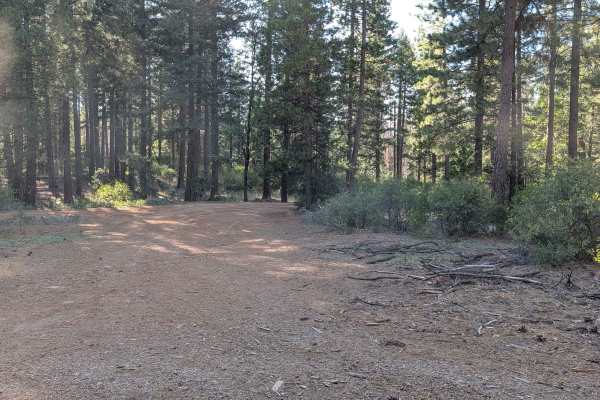
Pit Soldier Mountain - FS 37N28Y
This 2-mile out-and-back trail starts and ends at Soldier Mountain Lookout Trail, dropping almost 349 feet along its short length. The trail is very narrow with lots of overgrown brush, including deer brush, lining the corridor throughout the route. Vehicle contact with this vegetation is essentiall...
Learn more about Pit Soldier Mountain - FS 37N28Y
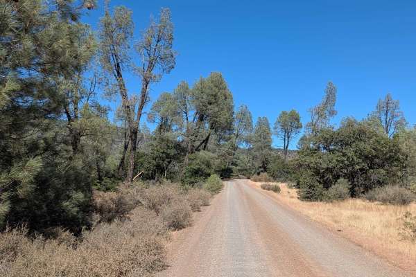
Soldier Mountain Reservoir - FS 37N03
This 7-mile point-to-point trail starts on Highway 89 and ends at a private land area, traveling through the Lassen National Forest as the main feeder trail to other trails in the area for further exploration. The route consists of a gravel road maintaining a width of 1.5 vehicles throughout, provid...
Learn more about Soldier Mountain Reservoir - FS 37N03
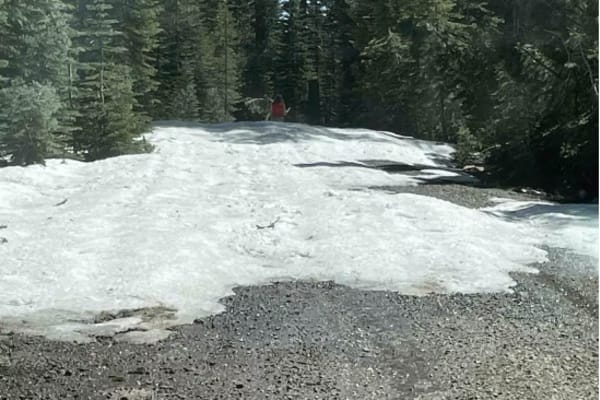
Jack's Backbone
This is a fun drive up through the mountains that will require 4x4 high clearance. However, it does not require lockers. Bring a lunch and enjoy the backcountry, with some great views of valleys and mountains.
Learn more about Jack's Backbone
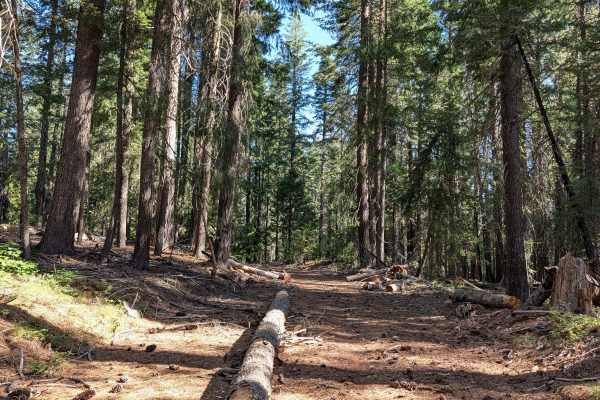
Dead Horse Canyon - FS 40N10
Running north to south, this point-to-point trail starts at Highway 89 and ends at David South (FS 42N04), cutting through the Shasta National Forest. Thick, tall pine trees dominate the landscape here, creating full canopy shade that makes this an excellent escape from summer heat. Fine, dusty dirt...
Learn more about Dead Horse Canyon - FS 40N10
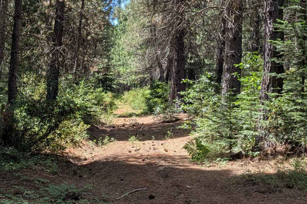
Cow Spur - FS 39N91
This 3-mile out-and-back trail starts and ends at Colby - FS 39N93, running through the Shasta National Forest beneath tall pines with lots of overgrown vegetation crowding the trail. The trail is one vehicle wide, and the heavy brush pressing in on both sides will give you pinstripes throughout the...
Learn more about Cow Spur - FS 39N91
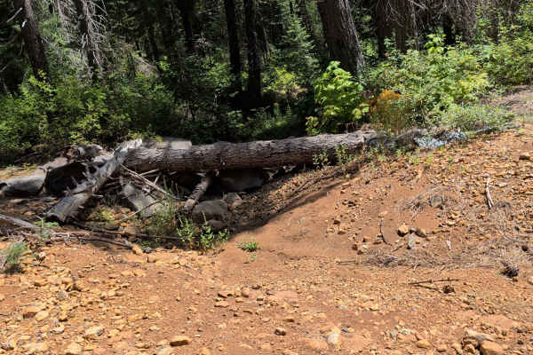
Colby - FS 39N93
This 2.5-mile point-to-point trail starts off Cow Creek (FS 39N90) and ends at Bartle Gap (FS 39N05), climbing over 450 feet through the Shasta National Forest beneath very tall trees that block the sun for most of the day. The trail surface is fine, dusty dirt with some gravel, running 1.5 to 2 veh...
Learn more about Colby - FS 39N93
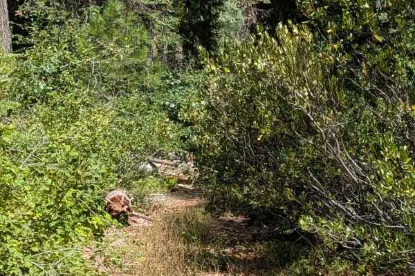
Bartle Guard Station - FS 39N56
This 2-mile point-to-point trail starts on Dead Horse Canyon (FS 40N10) and ends on Davis South (FS 42N04), gaining almost 200 feet of elevation along the way. The route travels through the Shasta National Forest beneath very tall, thick pine trees, whose canopy blocks much of the sunlight and keeps...
Learn more about Bartle Guard Station - FS 39N56
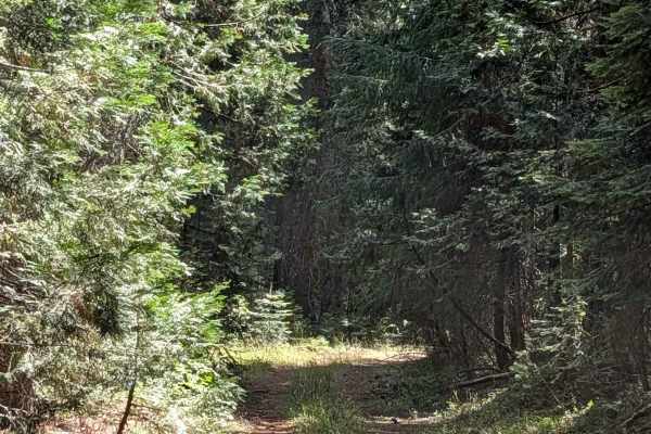
Dead Horse Tower - FS 40N10H
This loop trail branches off from and returns to Dead Horse Canyon (FS 40N10), maintaining a single-vehicle width throughout. The route begins among the tall pines of the Shasta National Forest before cutting into the power line corridor, where thick brush and grasses take over the landscape. The tr...
Learn more about Dead Horse Tower - FS 40N10H
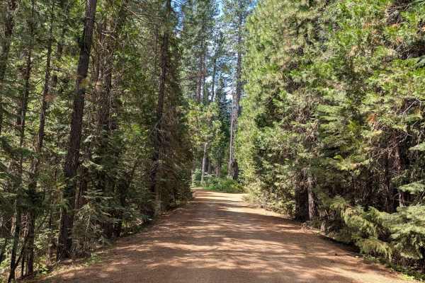
Cow Creek - FS 39N90
This out-and-back trail starts and returns to Highway 89, beginning on private logging land before quickly entering the Shasta National Forest, where very thick, tall pine trees surround the route throughout. The trail surface is fine, dusty dirt with some gravel, running 1.5 to 2 vehicles wide near...
Learn more about Cow Creek - FS 39N90
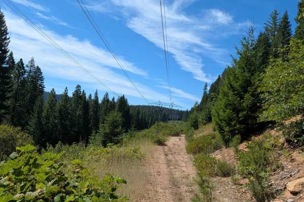
Tower 322 - FS 40N82YA
This point-to-point trail starts on Dead Horse Canyon (FS 40N10), beginning and ending within the forest as it runs perpendicular to a set of large power lines. A shelf road section overlooks a small valley along the way, adding a scenic vantage point to the drive. The surface here is dusty dirt cov...
Learn more about Tower 322 - FS 40N82YA
ATV trails near Burney, California
Explore ATV-friendly trails near you. These trails are accessible for vehicles up to 50 inches wide, perfect for ATVs and smaller off-road machines.
Pit River Rim - FS 36N20
This 6+ mile out-and-back trail starts and ends on Pit Goose Valley, traveling through the Lassen National Forest amid lots of ponderosa pine trees, California black oak, manzanita, and other flora. The trail surface consists of hard-packed dirt that is dusty throughout the drive. The route runs alo...
Learn more about Pit River Rim - FS 36N20
Pit Southwest Mountain - FS 36N21
This 3-mile out-and-back trail starts and ends on Pit Goose Valley, climbing over 730 feet in a short distance within the Lassen National Forest. The route travels through a landscape surrounded by lots of ponderosa pine trees, creating a classic forest driving experience throughout the climb. The t...
Learn more about Pit Southwest Mountain - FS 36N21
Pit Long Valley - FS 35N15
This 9-mile out-and-back trail starts on Clark Creek Road and travels through the Lassen National Forest, surrounded by a forest of ponderosa trees and manzanita bushes. The trail surface consists of hard-packed dirt that can get very dusty throughout the drive. Heading south, views of Lookout Mount...
Learn more about Pit Long Valley - FS 35N15
Pit Goose Valley - FS 36N14
This trail starts on Clark Creek Road and cuts through the Lassen National Forest as well as some private land, so staying on the trail is essential to respect these boundaries. Wood cutting is not allowed along this route. The trail climbs almost 1,300 feet and drops over 600 feet, creating signifi...
Learn more about Pit Goose Valley - FS 36N14
UTV/side-by-side trails near Burney, California
Find UTV and side-by-side trails near you. These trails accommodate vehicles up to 60 inches wide, ideal for UTVs, side-by-sides, and wider off-road rigs.
Pit River Rim - FS 36N20
This 6+ mile out-and-back trail starts and ends on Pit Goose Valley, traveling through the Lassen National Forest amid lots of ponderosa pine trees, California black oak, manzanita, and other flora. The trail surface consists of hard-packed dirt that is dusty throughout the drive. The route runs alo...
Learn more about Pit River Rim - FS 36N20
Pit Southwest Mountain - FS 36N21
This 3-mile out-and-back trail starts and ends on Pit Goose Valley, climbing over 730 feet in a short distance within the Lassen National Forest. The route travels through a landscape surrounded by lots of ponderosa pine trees, creating a classic forest driving experience throughout the climb. The t...
Learn more about Pit Southwest Mountain - FS 36N21
Pit Long Valley - FS 35N15
This 9-mile out-and-back trail starts on Clark Creek Road and travels through the Lassen National Forest, surrounded by a forest of ponderosa trees and manzanita bushes. The trail surface consists of hard-packed dirt that can get very dusty throughout the drive. Heading south, views of Lookout Mount...
Learn more about Pit Long Valley - FS 35N15
Pit Goose Valley - FS 36N14
This trail starts on Clark Creek Road and cuts through the Lassen National Forest as well as some private land, so staying on the trail is essential to respect these boundaries. Wood cutting is not allowed along this route. The trail climbs almost 1,300 feet and drops over 600 feet, creating signifi...
Learn more about Pit Goose Valley - FS 36N14
The onX Offroad Difference
onX Offroad combines trail photos, descriptions, difficulty ratings, width restrictions, seasonality, and more in a user-friendly interface. Available on all devices, with offline access and full compatibility with CarPlay and Android Auto. Discover what you're missing today!
Open Trail Map