Dead Horse Tower - FS 40N10H

Total Miles1.1
Technical Rating
3Easy
Best TimeFall, Spring
Trail TypeFull-Width Road
Accessible By
Open Trail Map

Trail Overview

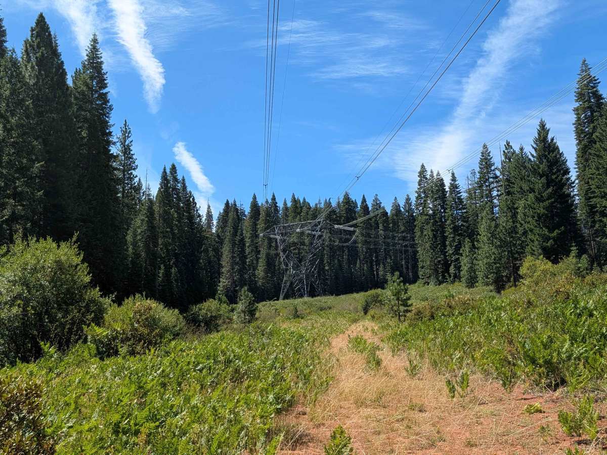
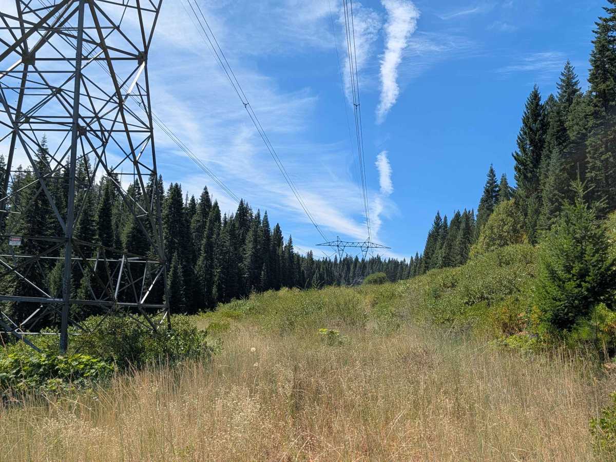
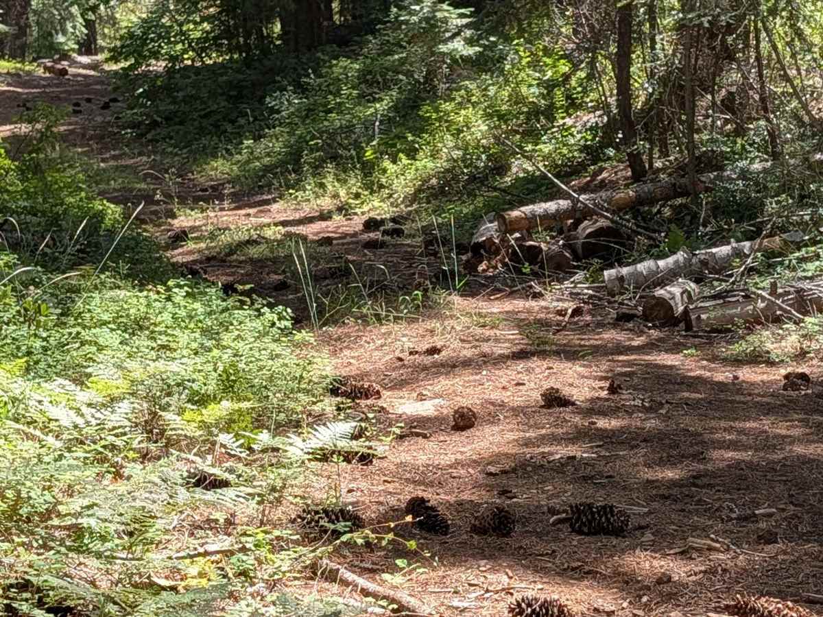
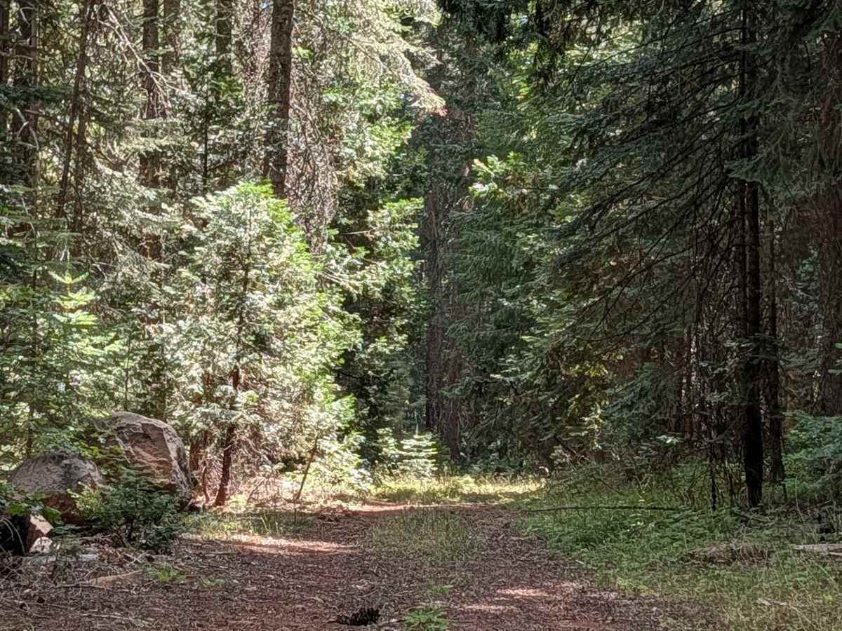
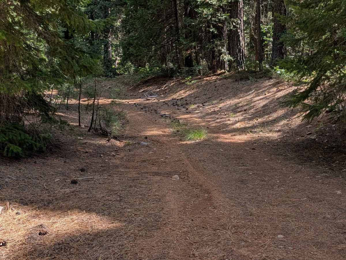
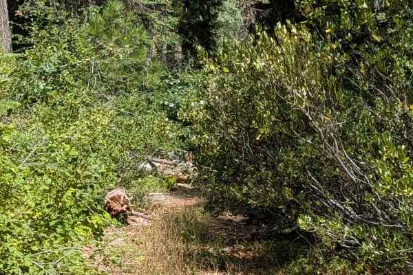
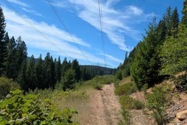
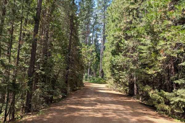
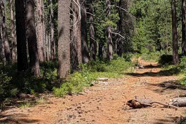
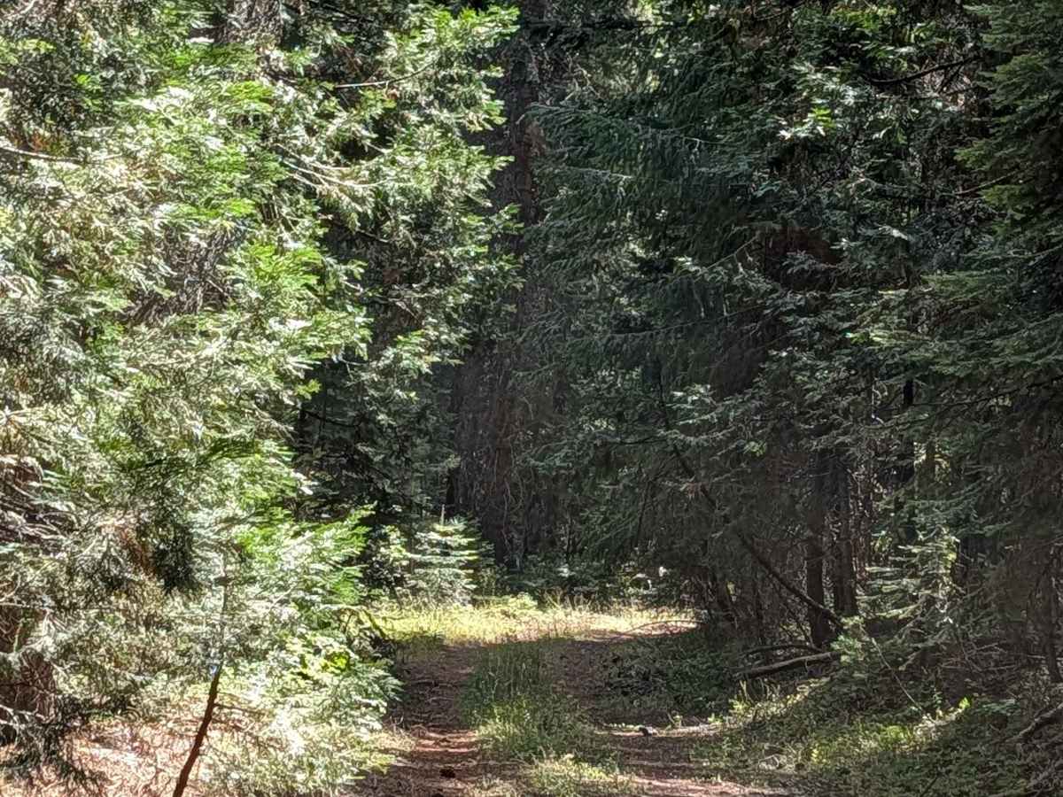
This loop trail branches off from and returns to Dead Horse Canyon (FS 40N10), maintaining a single-vehicle width throughout. The route begins among the tall pines of the Shasta National Forest before cutting into the power line corridor, where thick brush and grasses take over the landscape. The trail follows the main power line run before curving back into the forest to complete the loop. Vegetation is the defining feature of this trail. The brush and grasses along the power line section are heavily overgrown, and pushing through them is unavoidable, so expect pinstripes. During dry months, drivers should keep an eye on engine temperature, since dense brush against a hot engine can pose a fire risk.

Photos of Dead Horse Tower - FS 40N10H

Difficulty

This trail earns a difficulty rating of 3, driven almost entirely by the volume of vegetation that must be pushed through along the power line section. There aren't significant obstacles in the traditional sense, but the overgrowth demands careful engine heat management in dry conditions and acceptance of vehicle contact throughout.

Technical Rating

3

Dead Horse Tower - FS 40N10H Trail can be accessed by the following ride types:

  • Single Track
  • 50 Inch
  • 60 Inch
  • High Clearance
  • Full Width

Dead Horse Tower - FS 40N10H Map

The onX Offroad Difference

onX Offroad combines trail photos, descriptions, difficulty ratings, width restrictions, seasonality, and more in a user-friendly interface. Available on all devices, with offline access and full compatibility with CarPlay and Android Auto. Discover what you're missing today!

Open Trail Map