Bartle Guard Station - FS 39N56

Total Miles2
Technical Rating
3Easy
Best TimeFall, Summer, Spring
Trail TypeFull-Width Road
Accessible By
Open Trail Map

Trail Overview

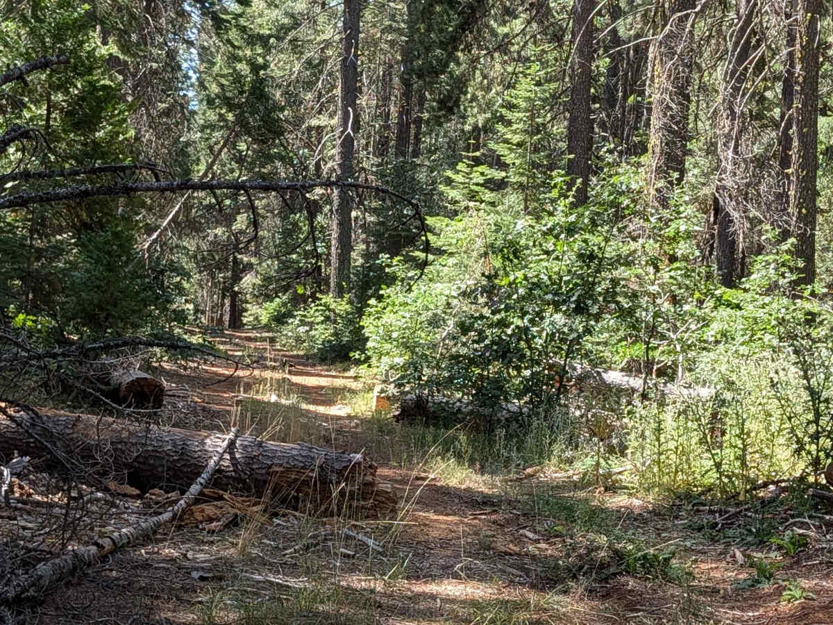
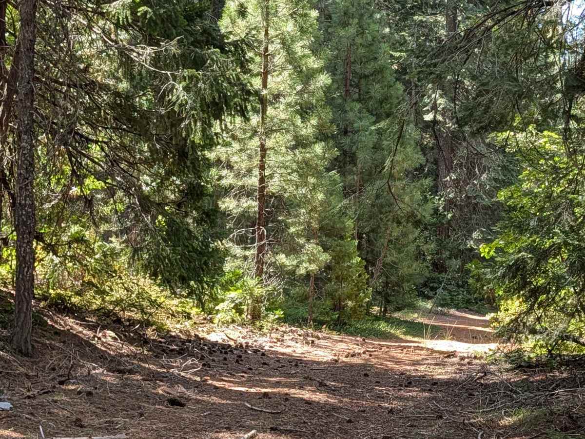
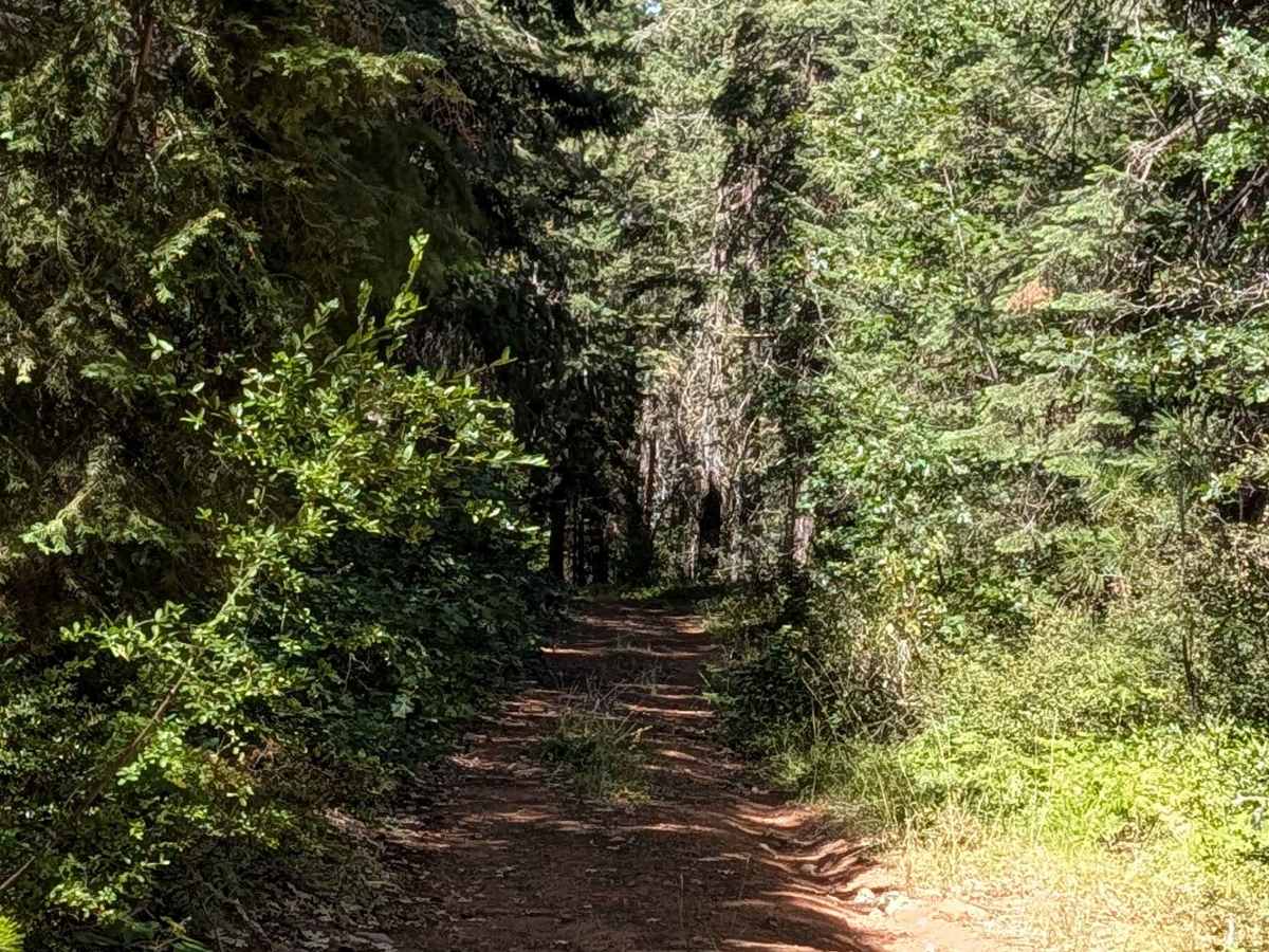
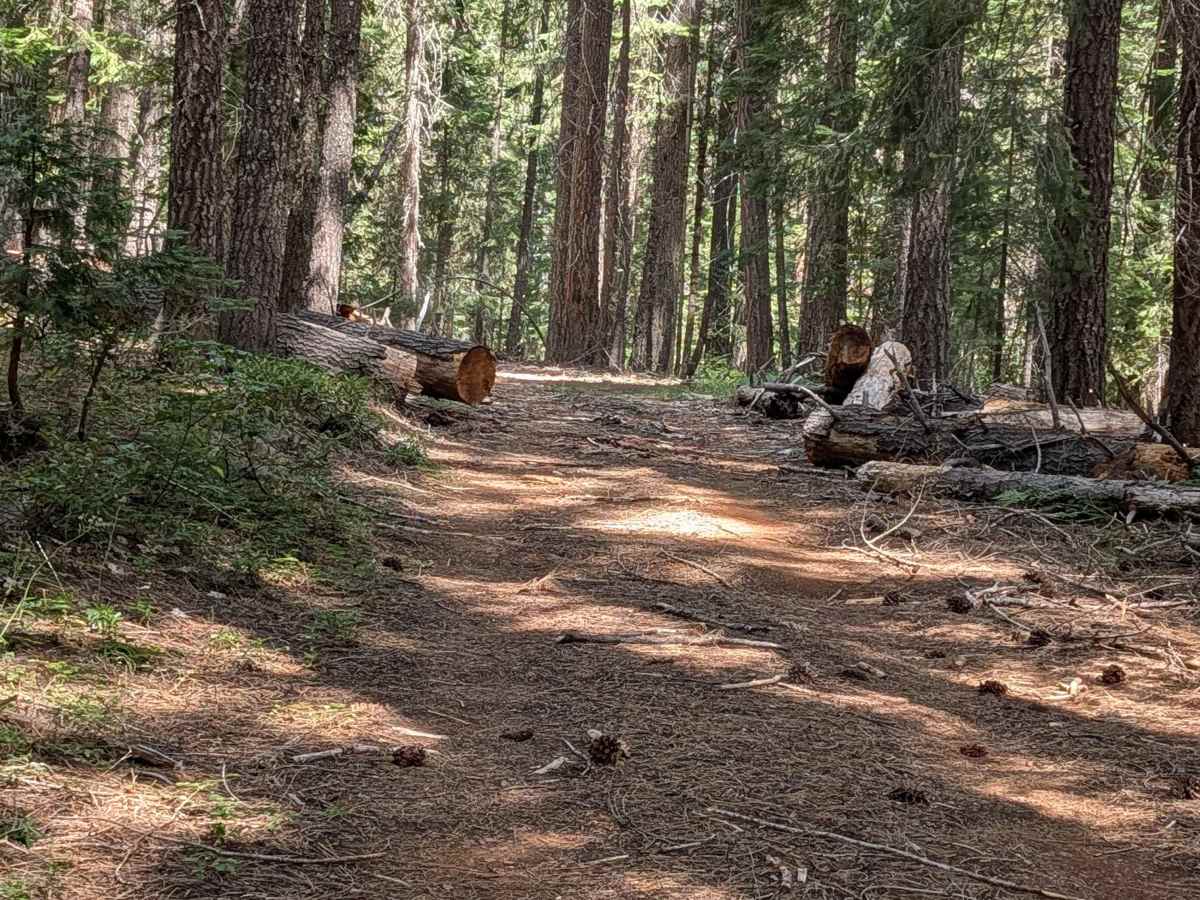
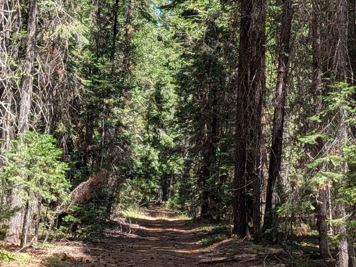
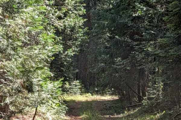
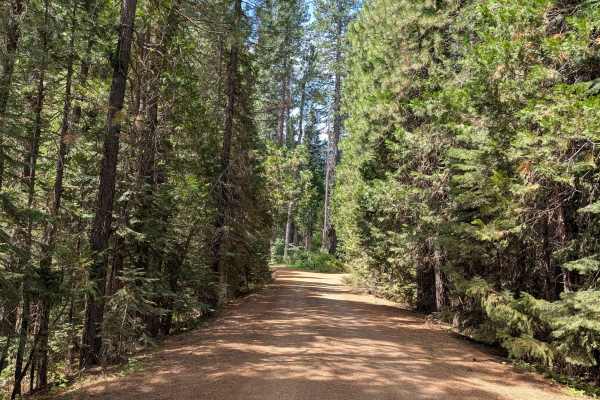
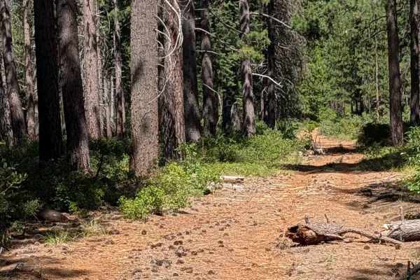
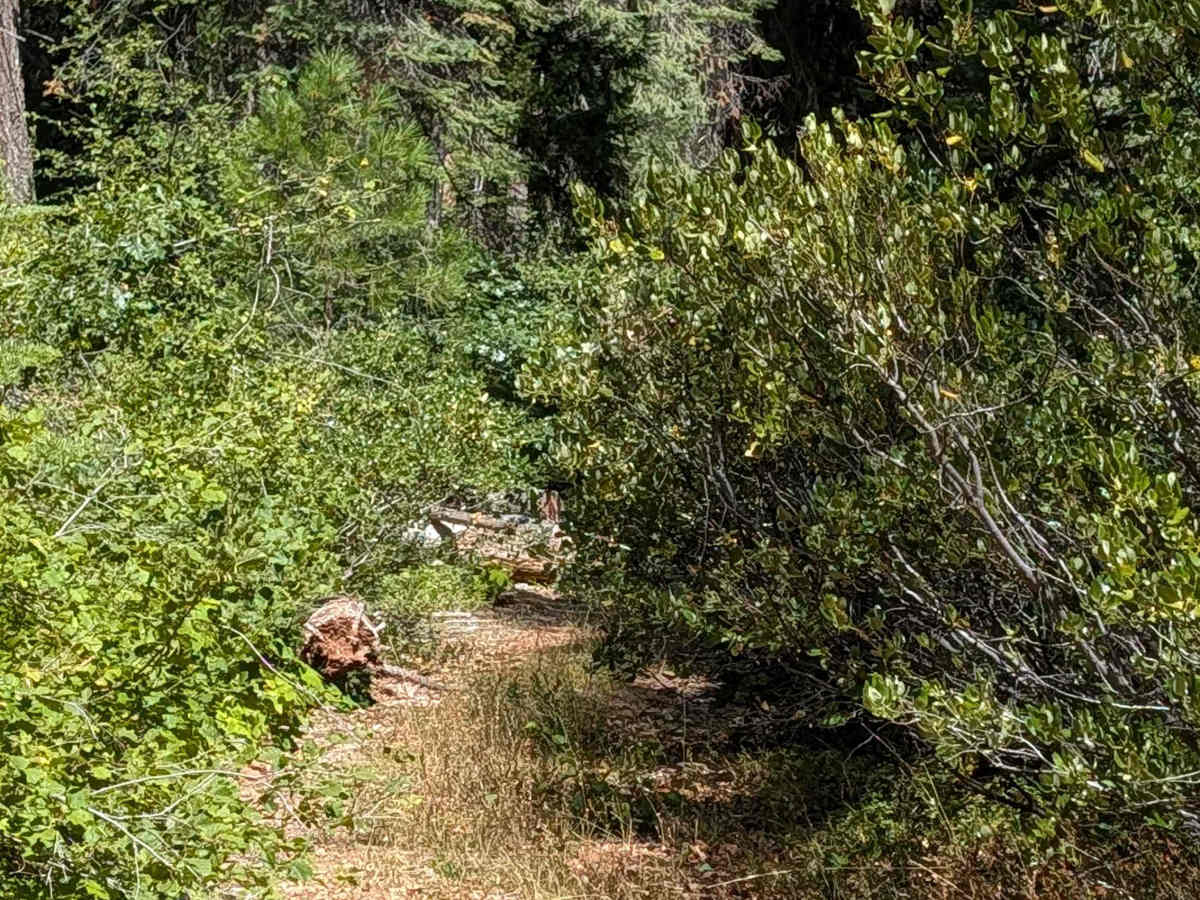
This 2-mile point-to-point trail starts on Dead Horse Canyon (FS 40N10) and ends on Davis South (FS 42N04), gaining almost 200 feet of elevation along the way. The route travels through the Shasta National Forest beneath very tall, thick pine trees, whose canopy blocks much of the sunlight and keeps the trail cool and shaded. The surface is fine dirt covered with pine cones, pine needles, and scattered wood debris, and the trail width ranges from 1 to 1.5 vehicles. Large cut logs have been pushed aside along the route, and drivers will also encounter a few very small logs that require driving over. A single switchback breaks up the route as it climbs. Overgrown grass fills portions of the median along the way, becoming more pronounced in the very northern section, where overgrown branches can cause pinstripes through this stretch.

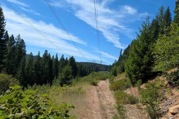
Photos of Bartle Guard Station - FS 39N56

Difficulty

This trail carries a difficulty rating of 3, reflecting the combination of small logs to drive over, the single switchback, and the overgrown branches. The modest elevation gain and generally stable dirt surface keep the climb itself manageable, with vegetation management being the primary factor.

Technical Rating

3

Bartle Guard Station - FS 39N56 Trail can be accessed by the following ride types:

  • Single Track
  • 50 Inch
  • 60 Inch
  • High Clearance
  • Full Width

Bartle Guard Station - FS 39N56 Map

The onX Offroad Difference

onX Offroad combines trail photos, descriptions, difficulty ratings, width restrictions, seasonality, and more in a user-friendly interface. Available on all devices, with offline access and full compatibility with CarPlay and Android Auto. Discover what you're missing today!

Open Trail Map