Trail Overview
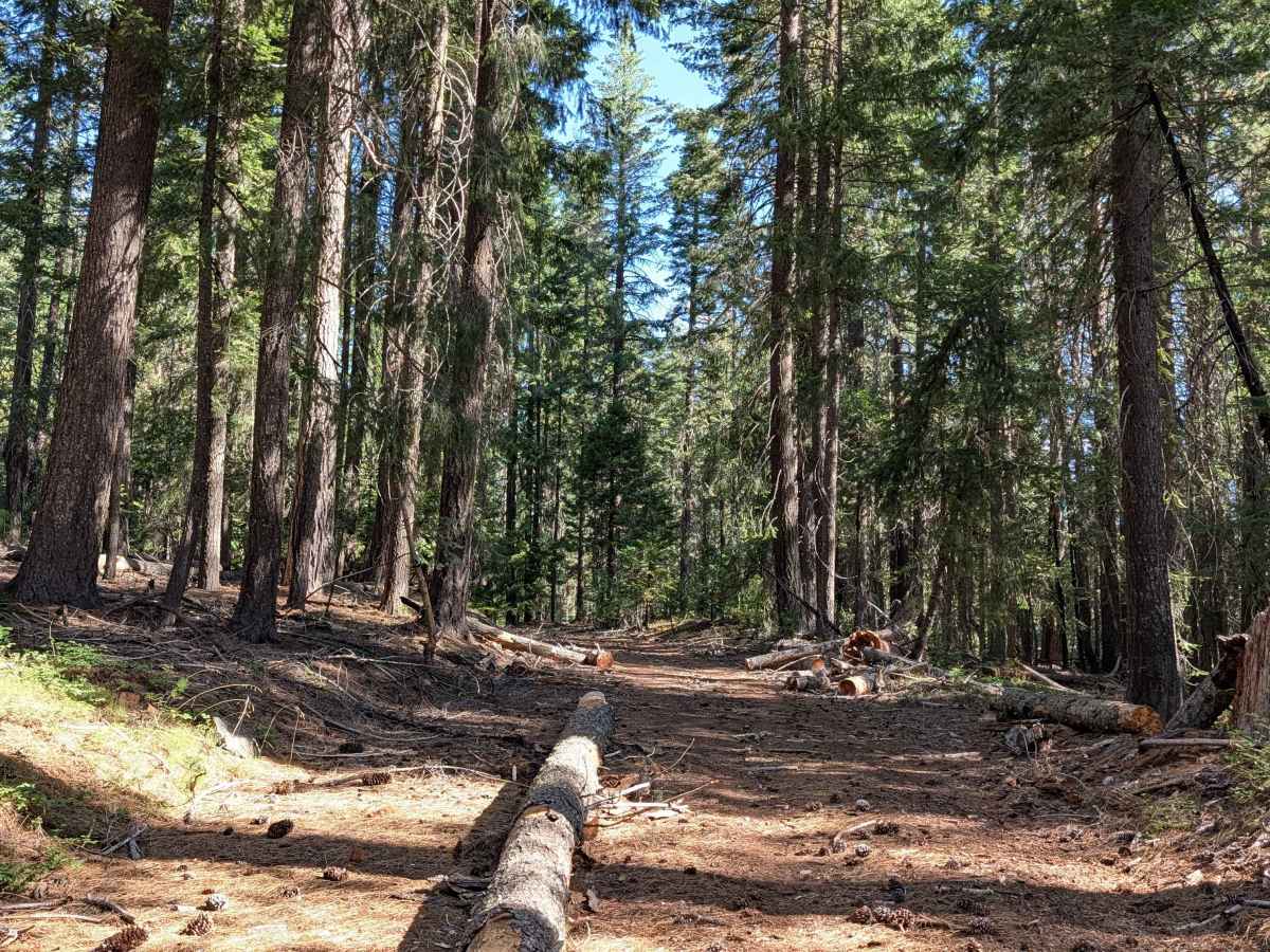
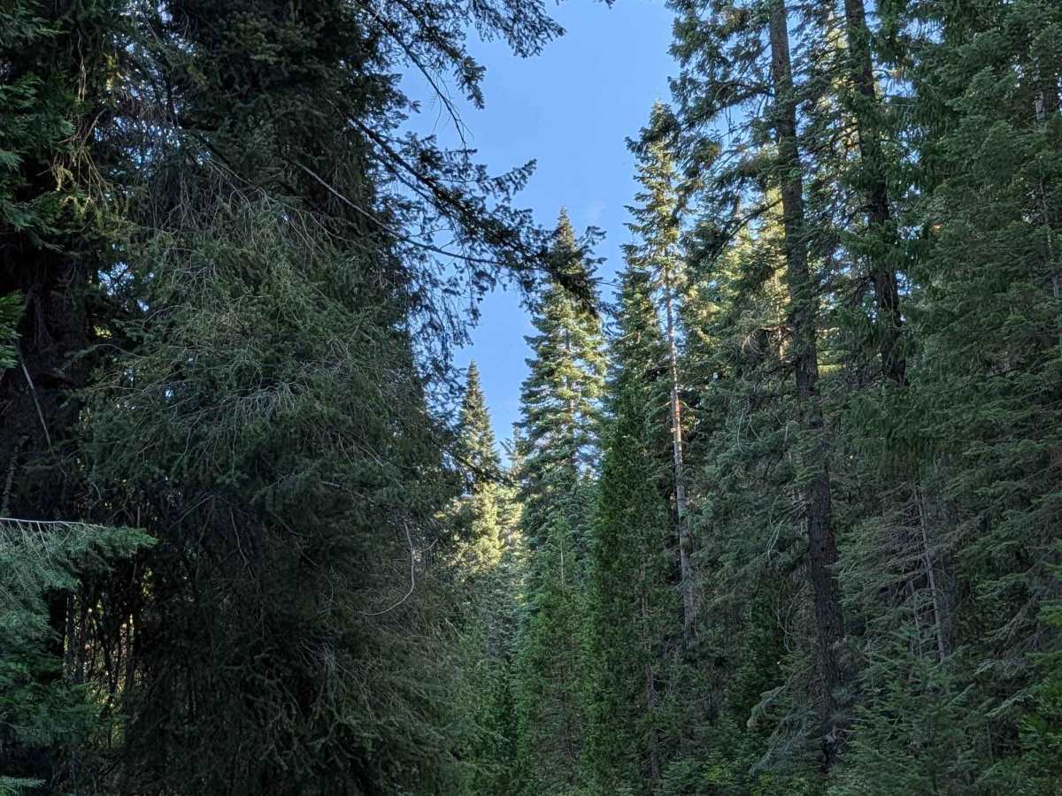
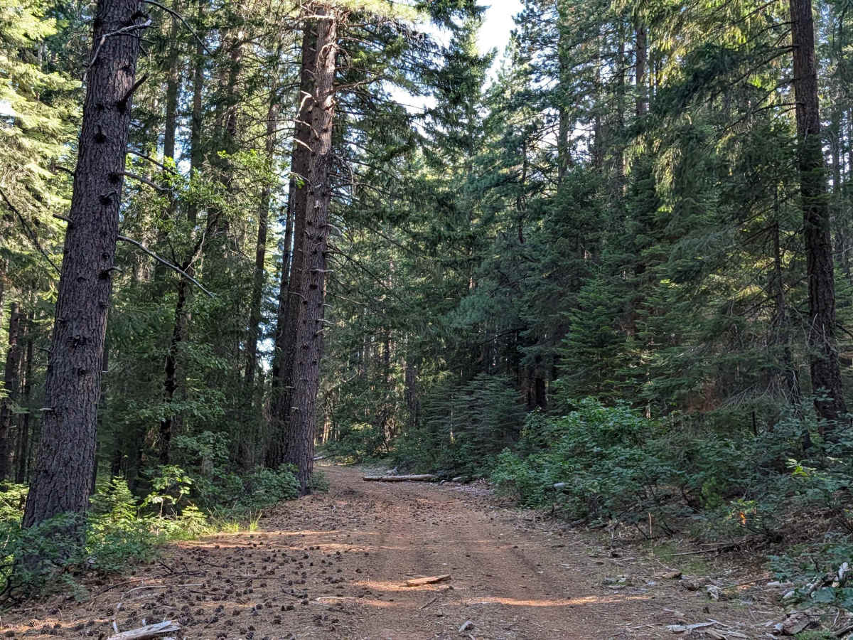
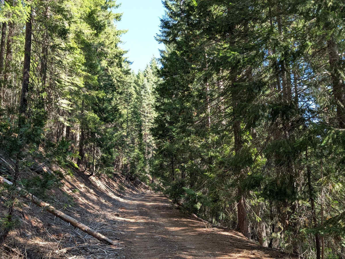
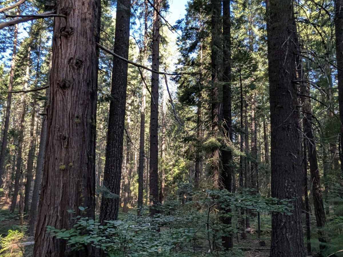
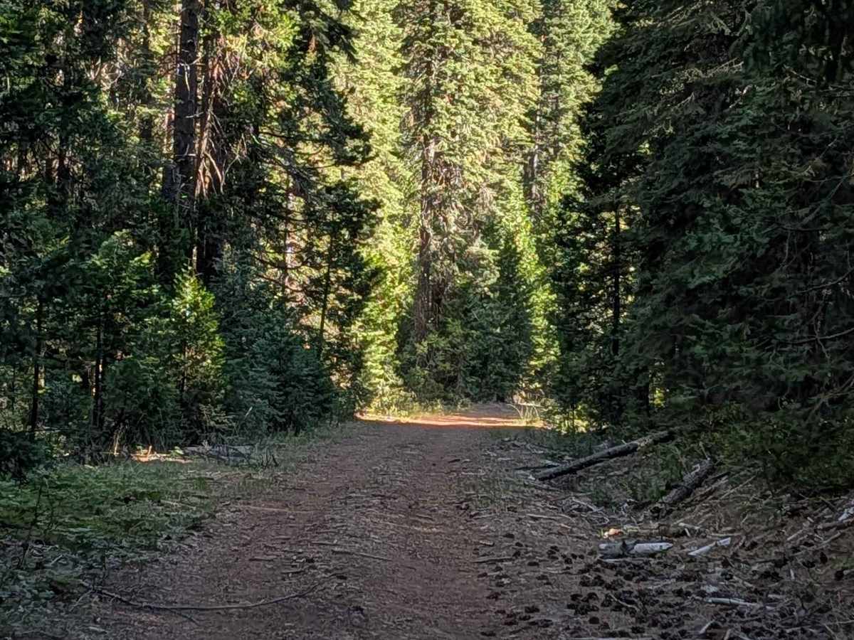
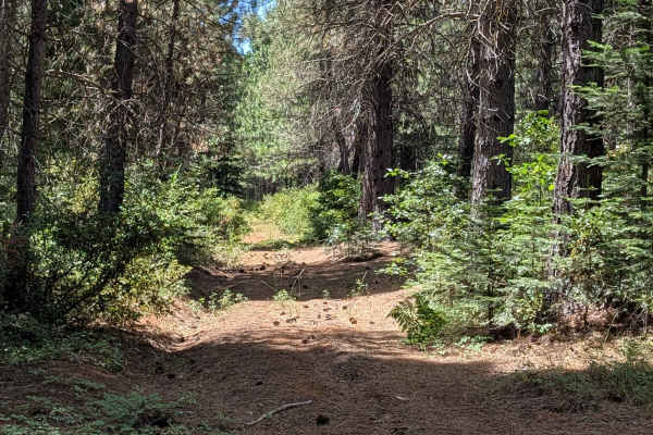
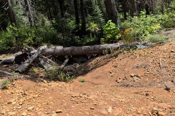
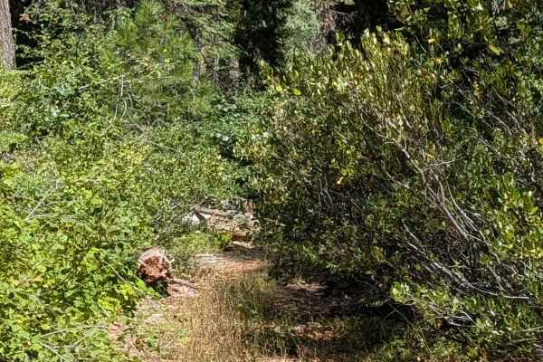
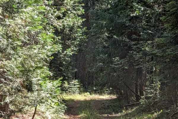
Running north to south, this point-to-point trail starts at Highway 89 and ends at David South (FS 42N04), cutting through the Shasta National Forest. Thick, tall pine trees dominate the landscape here, creating full canopy shade that makes this an excellent escape from summer heat. Fine, dusty dirt makes up the trail surface, mixed with decaying wood, pinecones, and pine needles scattered across the route. Although technically one lane, the trail offers a width of 1.5 to 2 vehicles with plenty of room to move over when needed. Several wide shelf road sections appear along the way, though the thick tree cover limits long-range views in these areas. Numerous downed trees have been cut to clear the path, and drivers still need to maneuver between the remaining sections. A narrow stretch on the north side features overgrown bushes that may make contact with your vehicle, so extra care is warranted through this portion.
Difficulty
With an easy difficulty rating of 2, the main considerations here are maneuvering between cut, downed trees along the route and navigating the narrower, bush-lined section on the north side. The wide shelf road sections and generally consistent surface keep this an approachable drive despite the forest debris.

 Offroad