Trail Overview
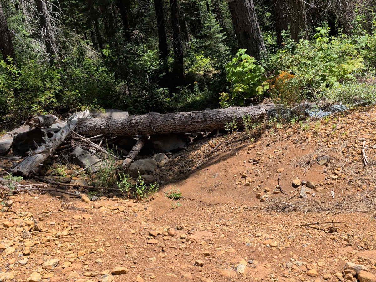
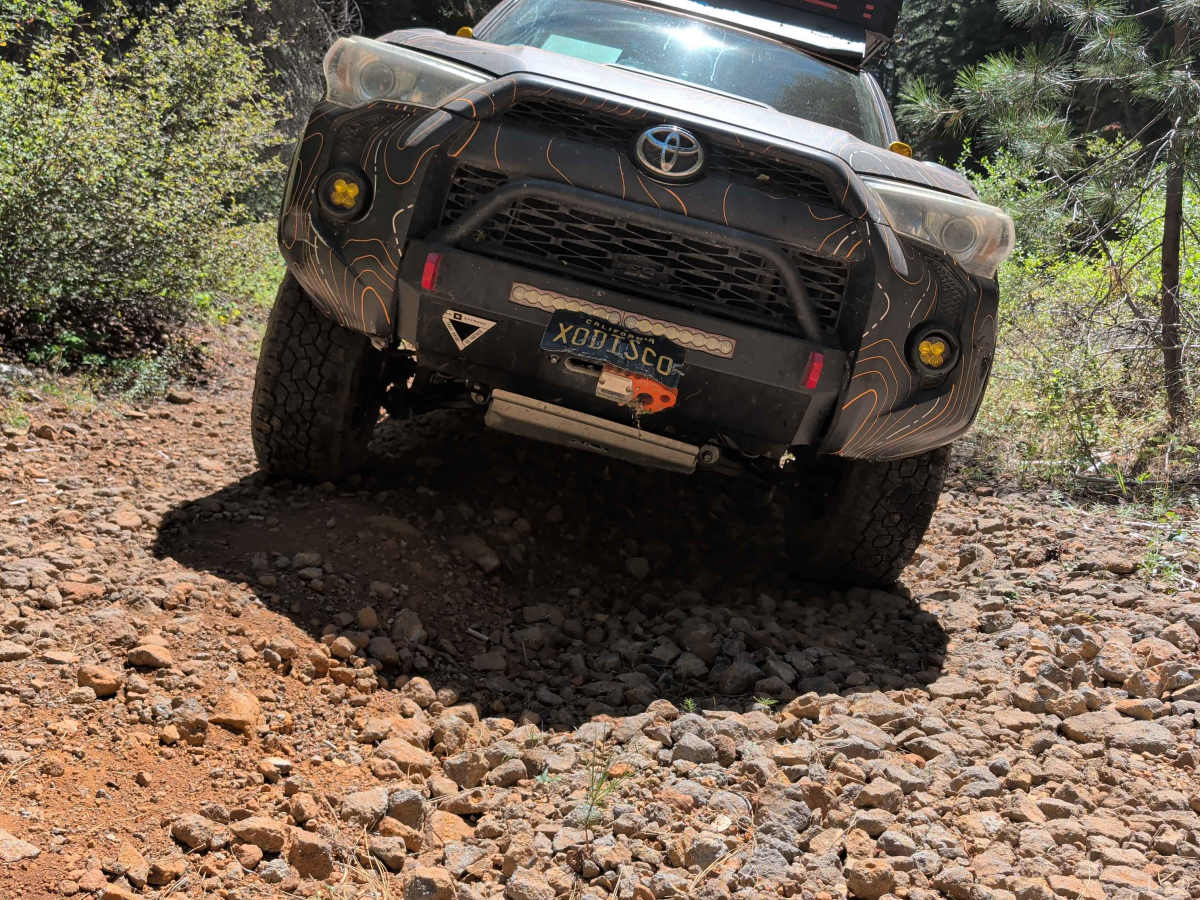
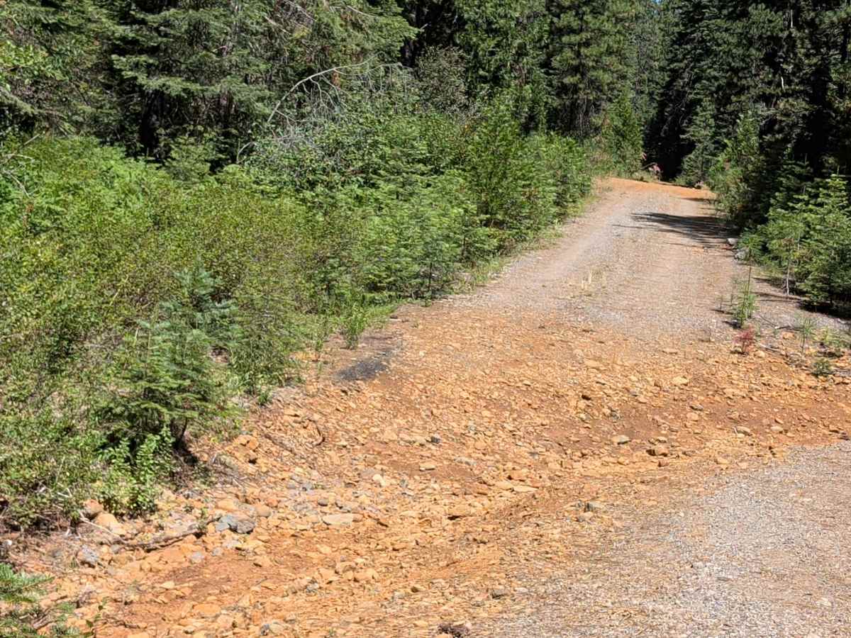
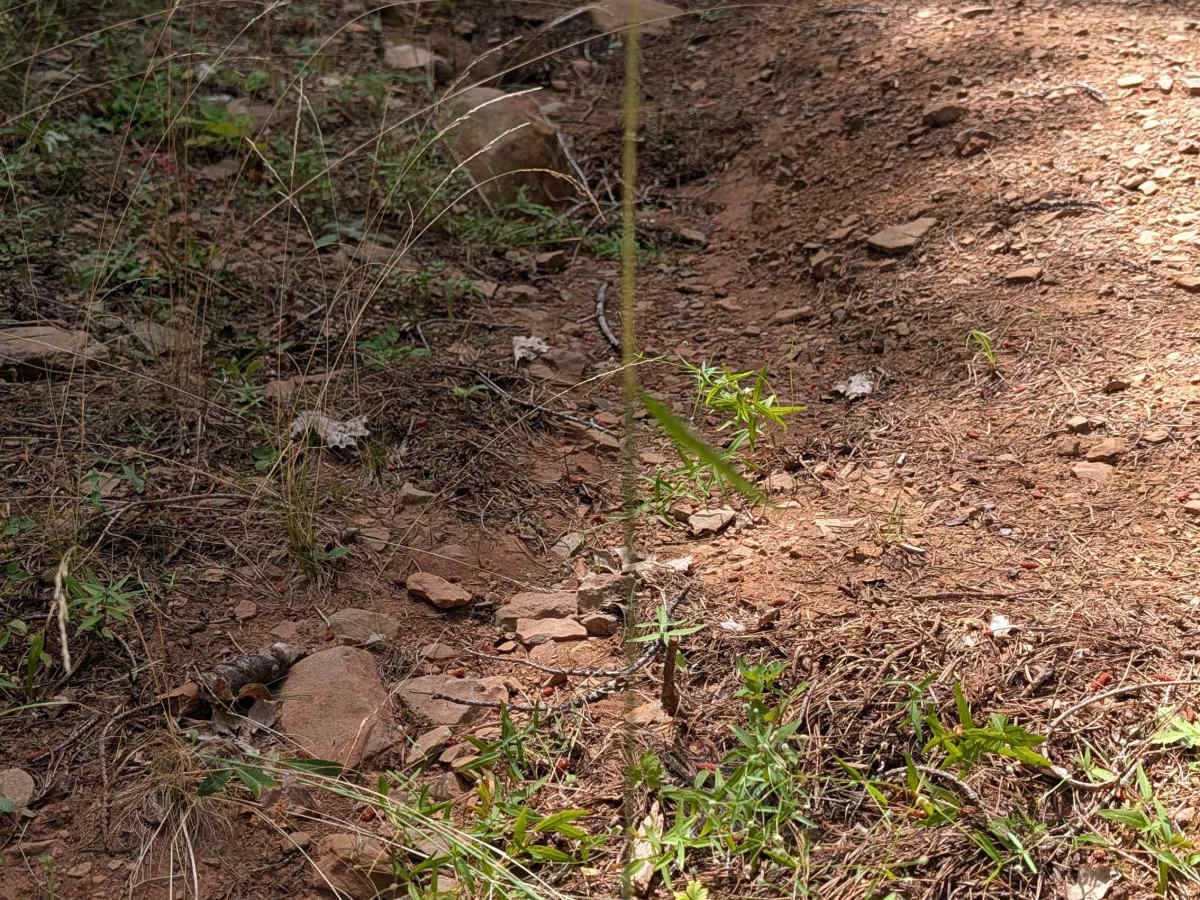
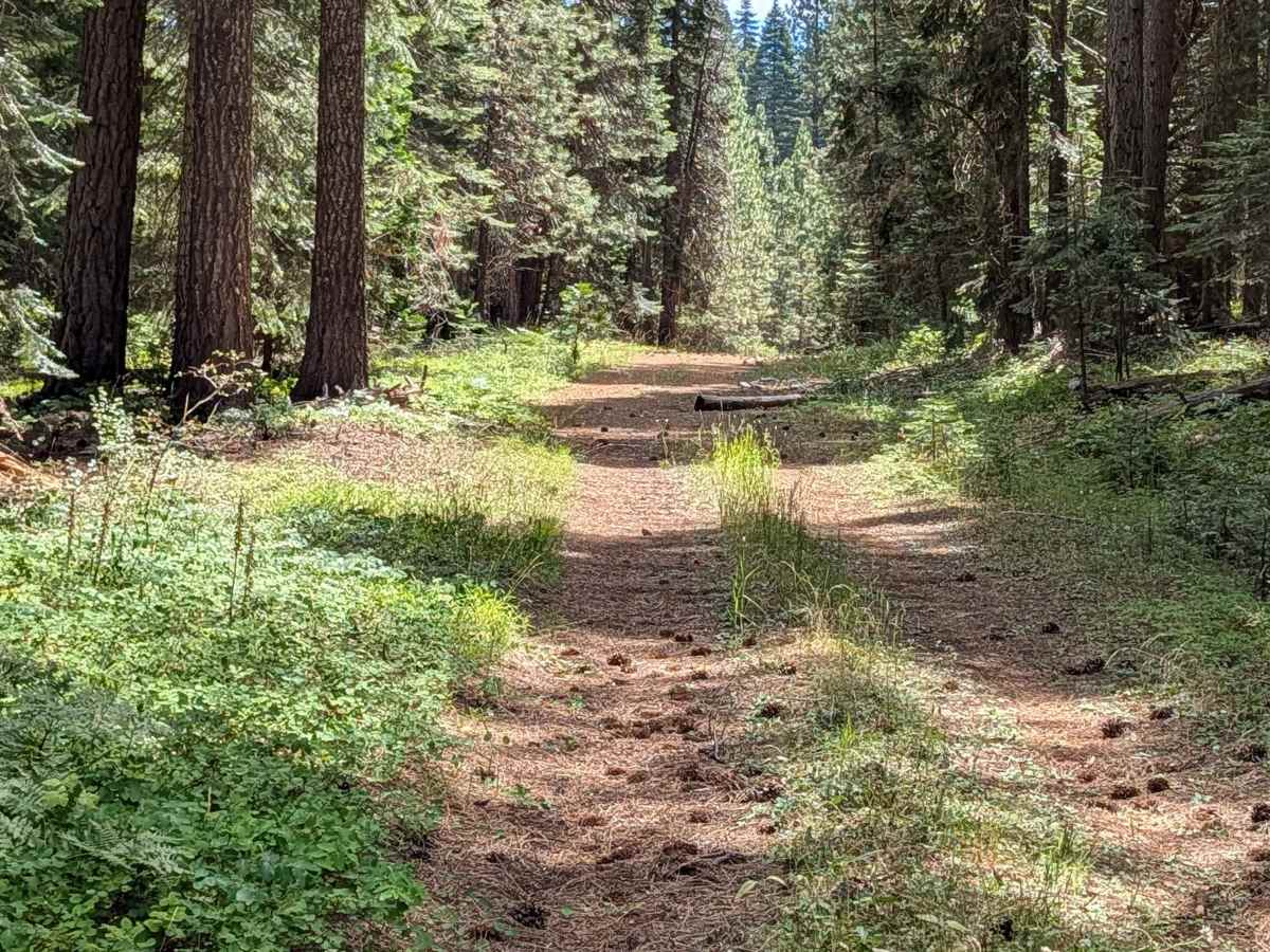
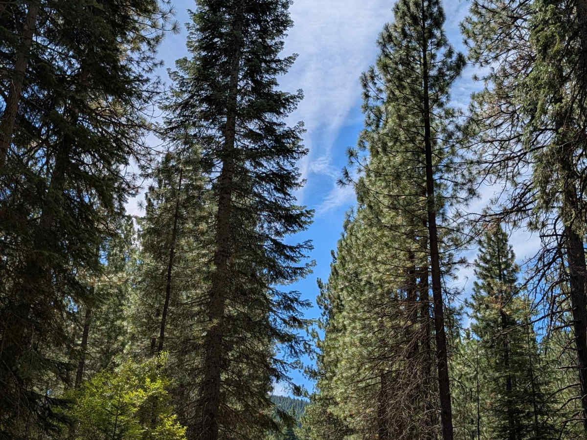
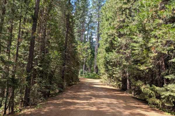
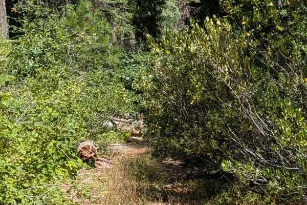
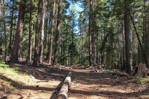
This 2.5-mile point-to-point trail starts off Cow Creek (FS 39N90) and ends at Bartle Gap (FS 39N05), climbing over 450 feet through the Shasta National Forest beneath very tall trees that block the sun for most of the day. The trail surface is fine, dusty dirt with some gravel, running 1.5 to 2 vehicles wide, though it narrows in places due to overgrown bitter cherry and Sierra snowbush. Right at the start, a seasonal water crossing with steep sides challenges drivers, especially with long wheelbases. They will need to choose a smart line to manage the approach and departure angles. A couple more seasonal water crossings and off-camber sections appear further along the route, adding to the technical demands. The farther south you travel, the rockier the surface becomes, though the rocks stay smaller than baseball size throughout. Overgrown vegetation crowds into the median in some areas, and less than a quarter mile from the south end, the trail is currently blocked by a large downed tree.
Difficulty
This trail earns a difficulty rating of 3, driven by the steep-sided water crossing at the start (requiring careful line selection for long-wheelbase vehicles), additional water crossings and off-camber sections, and the progressively rockier surface heading south. The overgrown median vegetation and narrower sections add to the technical character, and the downed tree near the south end currently blocks full completion of the route.

 Offroad