
Dirt Bike Trails
Near Avon, Colorado
Explore All Dirt Bike Trails Near Avon, Colorado
Dirt Bike Trails Near Avon, Colorado
Discover the best dirt bike trails near you. Browse trail maps, check difficulty ratings, and find your next adventure — whether you're looking for a quick ride or an all-day expedition.
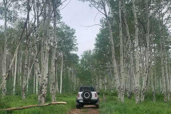
Metcalf Creek Road
Metcalf Creek Road (Forest Service Road 779) is a challenging and scenic off-road trail north of Avon and Vail, ideal for intermediate drivers in mid-size high-clearance four-wheel-drive vehicles seeking steep climbs and beautiful valley views. Climbing approximately 2,040 feet from its start at Wil...
Learn more about Metcalf Creek Road
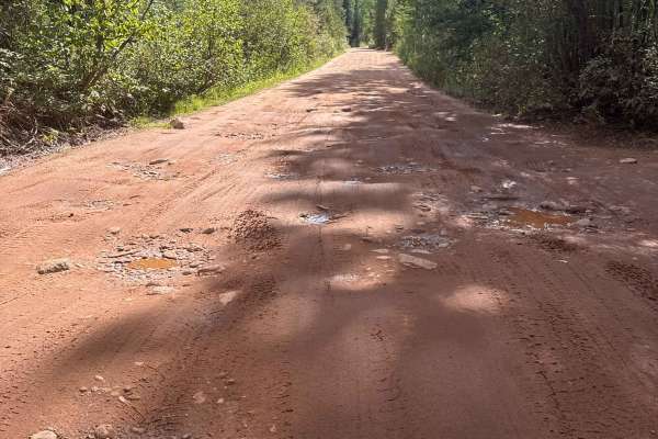
South Fork Piney - FS 701
This historic trail is a hard packed dirt trail, plentiful with small boulders, mud holes and washboard surfaces. The trail is wide enough for vehicles to pass and offers many camp sites along the route ending at Piney River Ranch. The route is typically open June 21 til November 22, check with Wh...
Learn more about South Fork Piney - FS 701
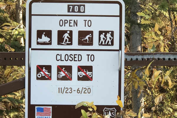
Muddy Pass & Piney Guard Station
Muddy Pass & Piney Guard Station is an exceptional scenic drive for beginner offroaders, families, and seasoned explorers looking for an accessible route with stunning alpine vistas and abundant dispersed camping opportunities near Vail and Wolcott. Stretching approximately 30 miles across the spect...
Learn more about Muddy Pass & Piney Guard Station
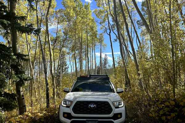
Tigiwon Road
This is an out-and-back trail that is mainly used to access hiking trails. Fall Creek, Mount of Tthe Holy Cross, and Cross Creek Trailhead are all accessible via this dirt road. A good portion of the trail is lined with aspens. There are multiple dispersed camping spots throughout and a designated f...
Learn more about Tigiwon Road
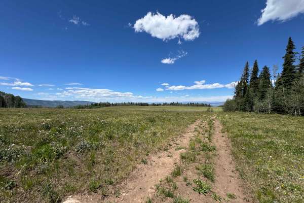
FS 421
As soon as you turn off FS 418 onto this route, it is highly recommended to air down your tires, as the first several miles consist of a relentless stretch of chunky rocks and uneven terrain. Beyond this section, the trail transitions into a series of steep rock chutes filled with increasingly large...
Learn more about FS 421
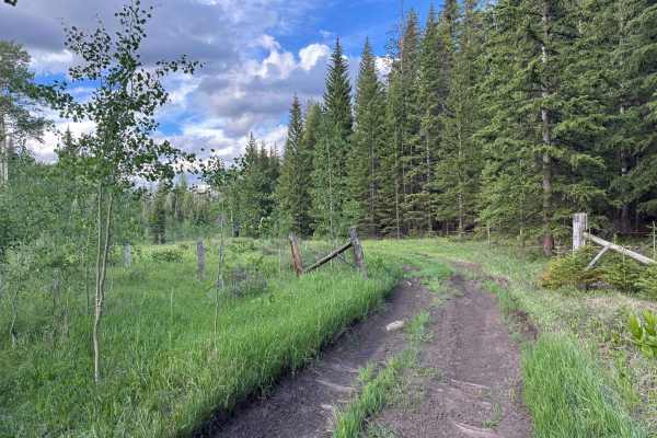
FS 435
This U.S. Forest Service route branches off from FS 418 and descends into a beautiful canyon filled with dispersed campsites, open meadows, and popular hunting areas. Several excellent campsites can be found within the first mile, after which the trail becomes progressively narrower and more rugged,...
Learn more about FS 435
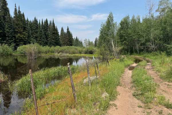
Old Fulford Road - FS 419
Old Fulford Road is an out-and-back route, as access through the historic town of Fulford is blocked by gated closures, no-through-traffic notices, and private property restrictions at both ends. Despite the lack of a through connection, this trail delivers an outstanding backcountry experience, off...
Learn more about Old Fulford Road - FS 419
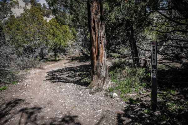
8503
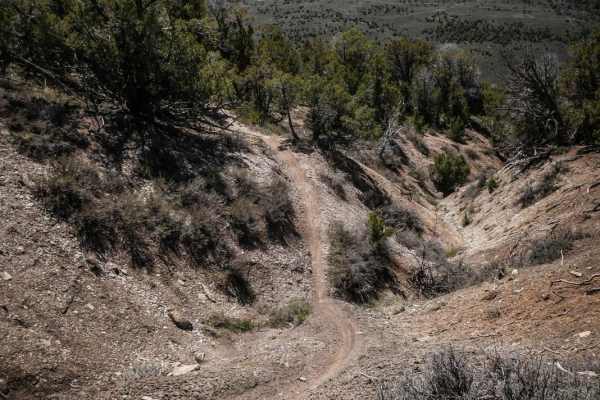
From south to north, single-track trail 8503 starts off with several big downhills on loose dirt with small rock drop-offs. The downhills are very steep with some small rocks in the trail and often have a sharp curve at the end in between the trees. It goes into a fun ravine at the bottom of the hil...
Learn more about 8503
8502A
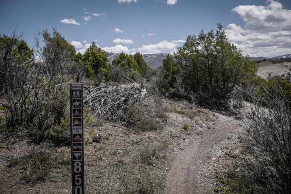
8502A is an easy single-track trail in the Bocco Mountain trail system that is accessed at the south end of the dirt road BLM Route 8502. The trail goes straight east in the shrubs, lightly snaking through the sagebrush. This section is more flat and easy compared to many of the other trails in this...
Learn more about 8502A
8501
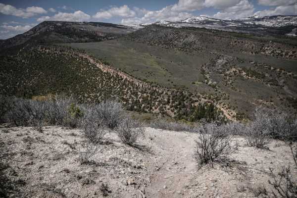
Trail 8501 starts from the intersection with 8501F near the dirt road 8502C. It side hills across the side of the mountain on a narrow dirt trail with loose small rocks. It has several steep downhills with tight turns with a couple of small rock ledges and roots creating some added difficulty. There...
Learn more about 8501
8501F & EG
This trail is a short loop in the Bocco mountain trail system. It departs from trail 8501E at a wooden fence post. Traverse across the side of a low alpine mountain through small pine trees and sage brush. It becomes very tight and twisty with short climbs and descents with lots of brake bumps. It ...
Learn more about 8501F & EG
Shrine Pass
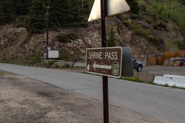
Shrine Pass Road offers an approachable backcountry drive with no major obstacles, making it a favorite for those seeking high-alpine scenery without technical challenges. The road includes some rocky sections, but the route mellows as you approach the summit, providing a comfortable ride for most h...
Learn more about Shrine Pass
8503C
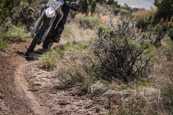
8503C is a fast and fun trail to rip in the Bocco Mountain trail system, made up of slaloming switchbacks with banked corners. The trail has wide sweeping switchbacks the whole way through a sagebrush meadow with pine trees lining the trail. It connects the BLM Route 8502 dirt road to single-track t...
Learn more about 8503C
Bocco Mountain, Blue Lake
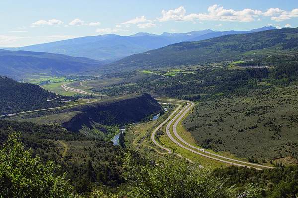
There are over 18 miles of single-track trails in this popular dirt biking area, with spectacular views from the top. There is also a fun Jeep/ATV road that cuts through the middle. If you take the road to Blue Lake, you will start on a wide dirt road that narrows and gets rougher closer to the lake...
Learn more about Bocco Mountain, Blue Lake
8501D & E
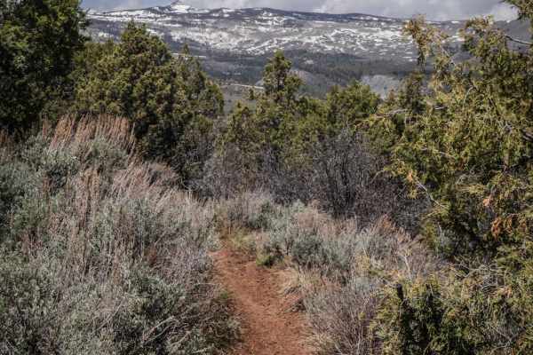
This set of trails in the Bocco Mountain recreation area is a tight and twisty singletrack in a low alpine terrain made up of pinyon pine, pine trees and sage brush. It departs from 8501C and becomes a very curvy trail and switches back up the mountainside with wide sweeping curves and tight turns i...
Learn more about 8501D & E
8503A & B
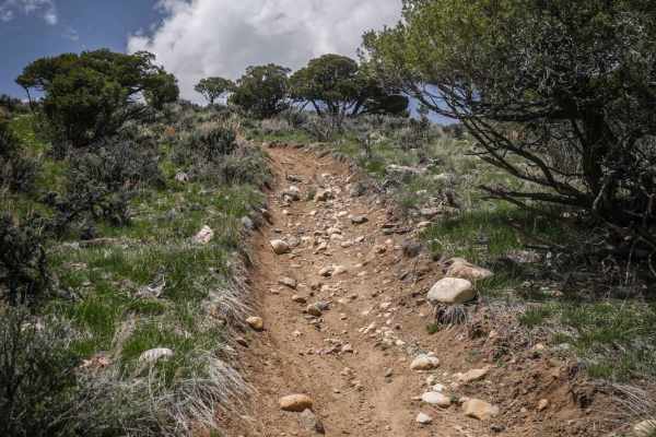
Single track trails 8503A & B make a loop starting and ending on the dirt road BLM Route 8502. Going counter clockwise, the trail comes down from the road on a trail that is washed out with deep troughed out switchbacks to intersect with trail 8503. Stay left for 8503A and drop into and out of a dee...
Learn more about 8503A & B
8501A, B & C
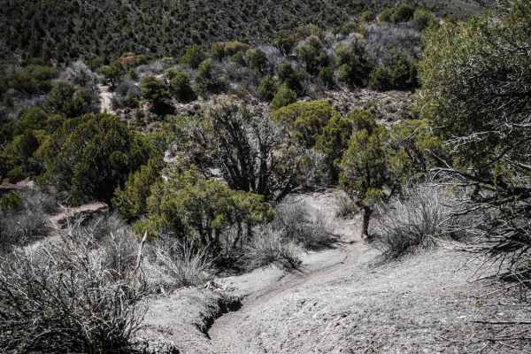
This is a fun and moderately challenging single track in the Bocco Mountain recreation area. This trail is made up of very tight turns through a variety of terrain. The entire trail is like a maze or a race car track because it has so many curves. In between the curves are really steep hill climbs a...
Learn more about 8501A, B & C
Nolan Creek Road - FS 418
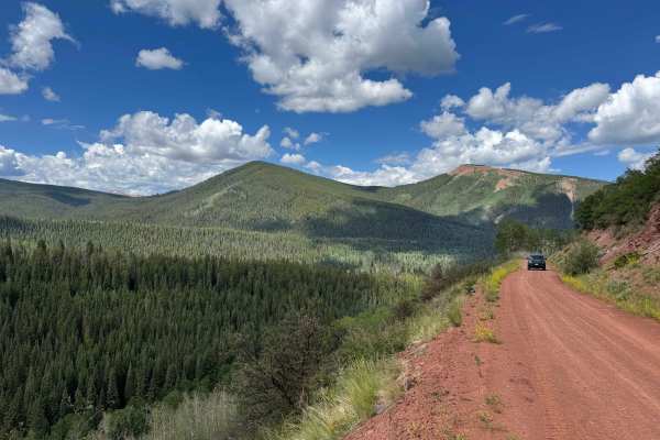
This route begins off East Brush Creek Road and follows a wide, well-maintained Forest Service road where two vehicles can easily pass, at least as far as the historic town of Fulford. During the first few miles, travelers will find several excellent dispersed campsites, with additional camping oppo...
Learn more about Nolan Creek Road - FS 418
BLM 8410
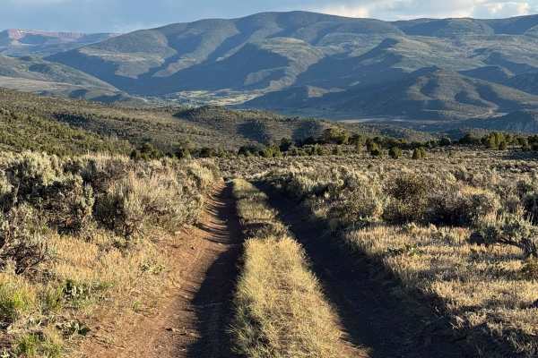
This BLM route begins where Trail 21 ends and descends into the scenic canyon and meadow below. The trail offers an enjoyable mix of flowing terrain, with several steeper cutoff options that add a bit of challenge for those seeking a more technical line. As the route drops into the meadow, a series ...
Learn more about BLM 8410
East Brush Creek Road
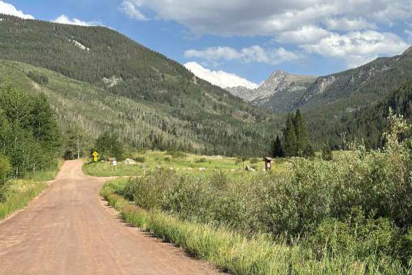
This route leads from Eagle into the network of roads and trails surrounding Sylvan Lake State Park. Serving as a primary access corridor to the area, it provides connections to the historic mining town of Fulford as well as the extensive backcountry trail system west of the Holy Cross Wilderness. T...
Learn more about East Brush Creek Road
ATV trails near Avon, Colorado
Explore ATV-friendly trails near you. These trails are accessible for vehicles up to 50 inches wide, perfect for ATVs and smaller off-road machines.
Metcalf Creek Road
Metcalf Creek Road (Forest Service Road 779) is a challenging and scenic off-road trail north of Avon and Vail, ideal for intermediate drivers in mid-size high-clearance four-wheel-drive vehicles seeking steep climbs and beautiful valley views. Climbing approximately 2,040 feet from its start at Wil...
Learn more about Metcalf Creek Road
South Fork Piney - FS 701
This historic trail is a hard packed dirt trail, plentiful with small boulders, mud holes and washboard surfaces. The trail is wide enough for vehicles to pass and offers many camp sites along the route ending at Piney River Ranch. The route is typically open June 21 til November 22, check with Wh...
Learn more about South Fork Piney - FS 701
Muddy Pass & Piney Guard Station
Muddy Pass & Piney Guard Station is an exceptional scenic drive for beginner offroaders, families, and seasoned explorers looking for an accessible route with stunning alpine vistas and abundant dispersed camping opportunities near Vail and Wolcott. Stretching approximately 30 miles across the spect...
Learn more about Muddy Pass & Piney Guard Station
Tigiwon Road
This is an out-and-back trail that is mainly used to access hiking trails. Fall Creek, Mount of Tthe Holy Cross, and Cross Creek Trailhead are all accessible via this dirt road. A good portion of the trail is lined with aspens. There are multiple dispersed camping spots throughout and a designated f...
Learn more about Tigiwon Road
UTV/side-by-side trails near Avon, Colorado
Find UTV and side-by-side trails near you. These trails accommodate vehicles up to 60 inches wide, ideal for UTVs, side-by-sides, and wider off-road rigs.
Metcalf Creek Road
Metcalf Creek Road (Forest Service Road 779) is a challenging and scenic off-road trail north of Avon and Vail, ideal for intermediate drivers in mid-size high-clearance four-wheel-drive vehicles seeking steep climbs and beautiful valley views. Climbing approximately 2,040 feet from its start at Wil...
Learn more about Metcalf Creek Road
South Fork Piney - FS 701
This historic trail is a hard packed dirt trail, plentiful with small boulders, mud holes and washboard surfaces. The trail is wide enough for vehicles to pass and offers many camp sites along the route ending at Piney River Ranch. The route is typically open June 21 til November 22, check with Wh...
Learn more about South Fork Piney - FS 701
Muddy Pass & Piney Guard Station
Muddy Pass & Piney Guard Station is an exceptional scenic drive for beginner offroaders, families, and seasoned explorers looking for an accessible route with stunning alpine vistas and abundant dispersed camping opportunities near Vail and Wolcott. Stretching approximately 30 miles across the spect...
Learn more about Muddy Pass & Piney Guard Station
Tigiwon Road
This is an out-and-back trail that is mainly used to access hiking trails. Fall Creek, Mount of Tthe Holy Cross, and Cross Creek Trailhead are all accessible via this dirt road. A good portion of the trail is lined with aspens. There are multiple dispersed camping spots throughout and a designated f...
Learn more about Tigiwon Road
The onX Offroad Difference
onX Offroad combines trail photos, descriptions, difficulty ratings, width restrictions, seasonality, and more in a user-friendly interface. Available on all devices, with offline access and full compatibility with CarPlay and Android Auto. Discover what you're missing today!
Open Trail Map