Metcalf Creek Road

Total Miles 3.2
Technical Rating
5 Moderate
Best Time Summer, Fall
Trail Type High-Clearance 4x4 Trail
Accessible By
Open Trail Map

Trail Overview

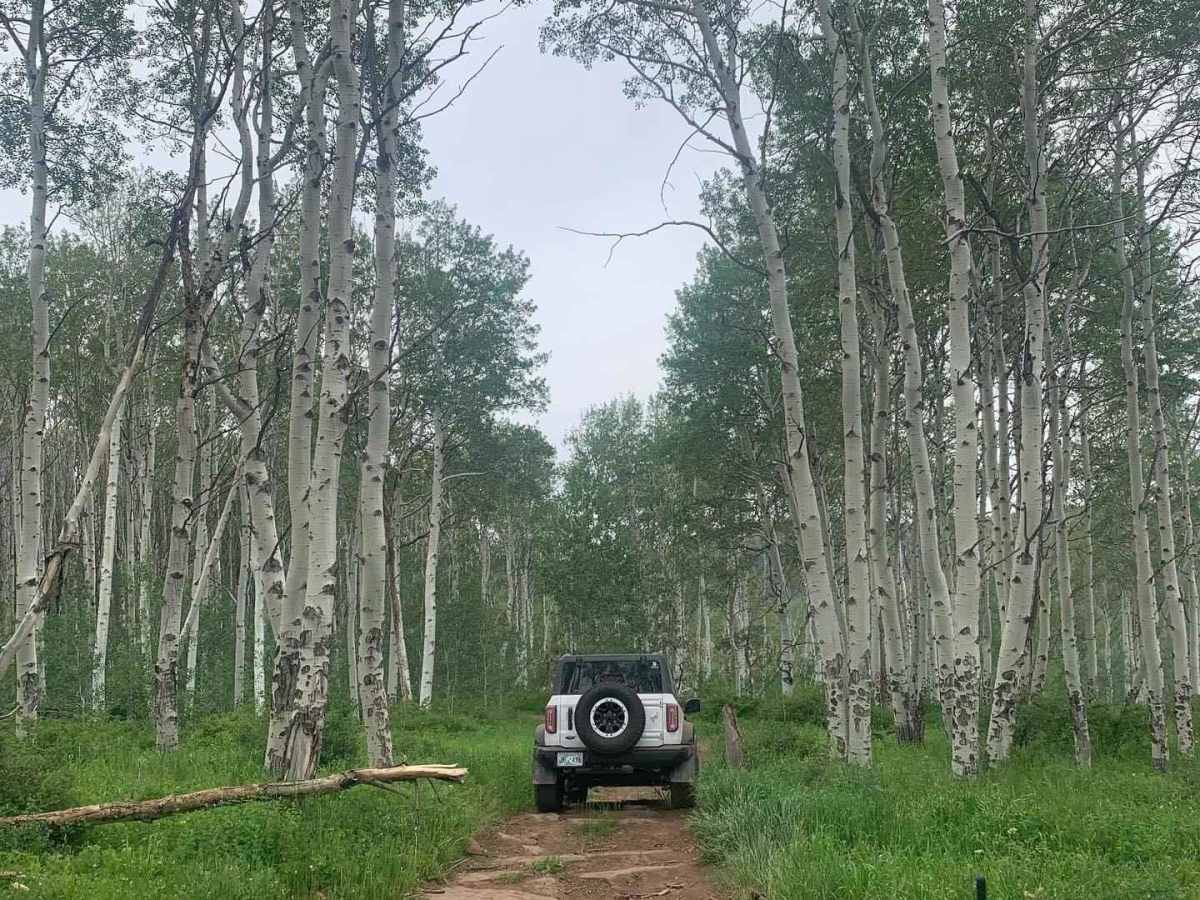
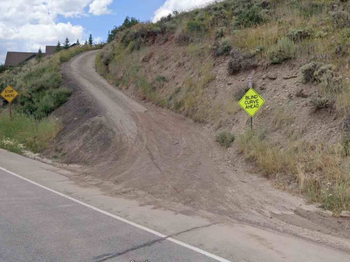
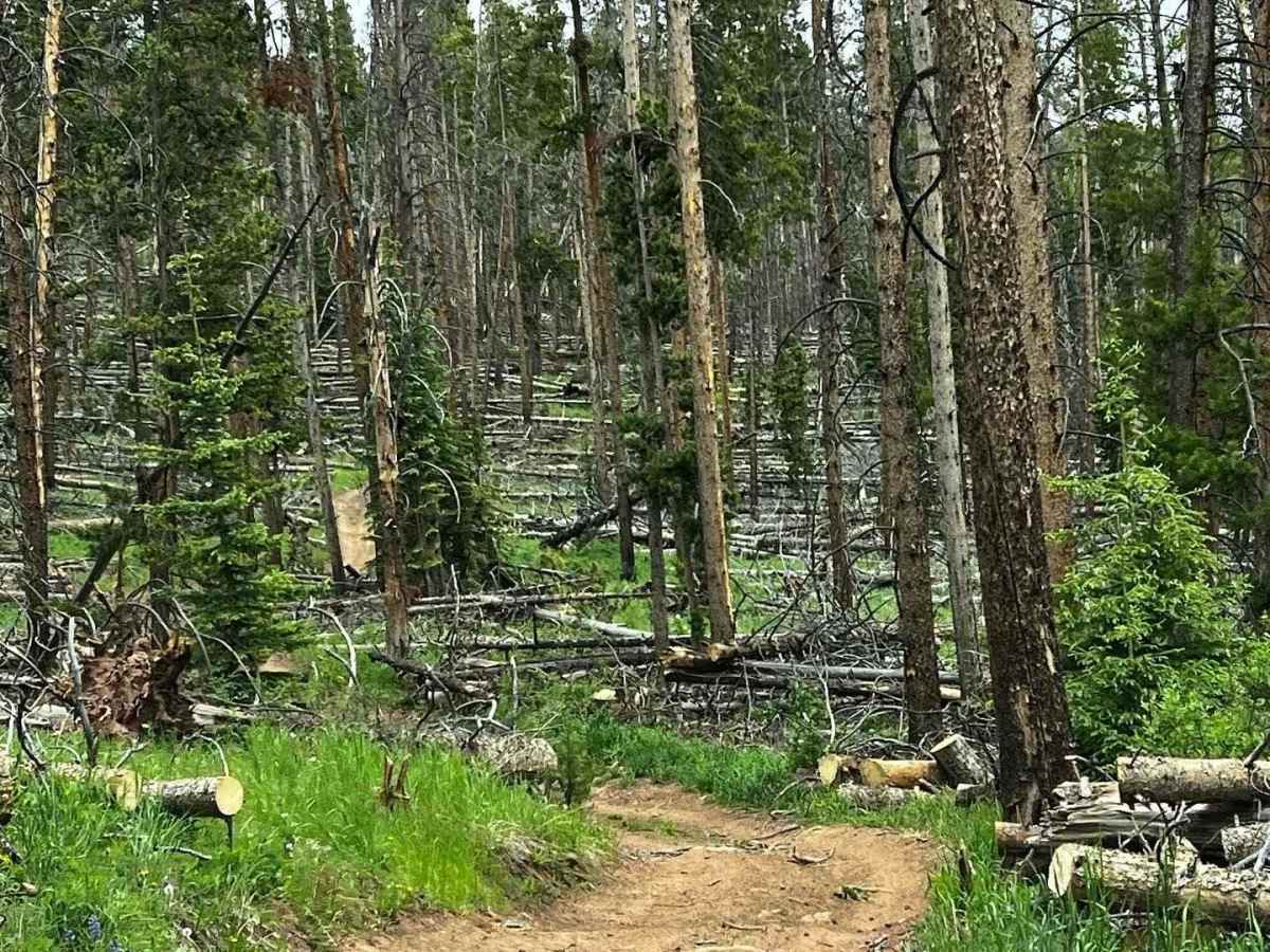
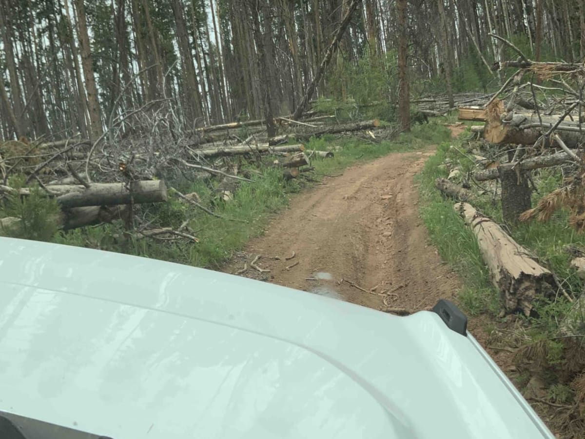
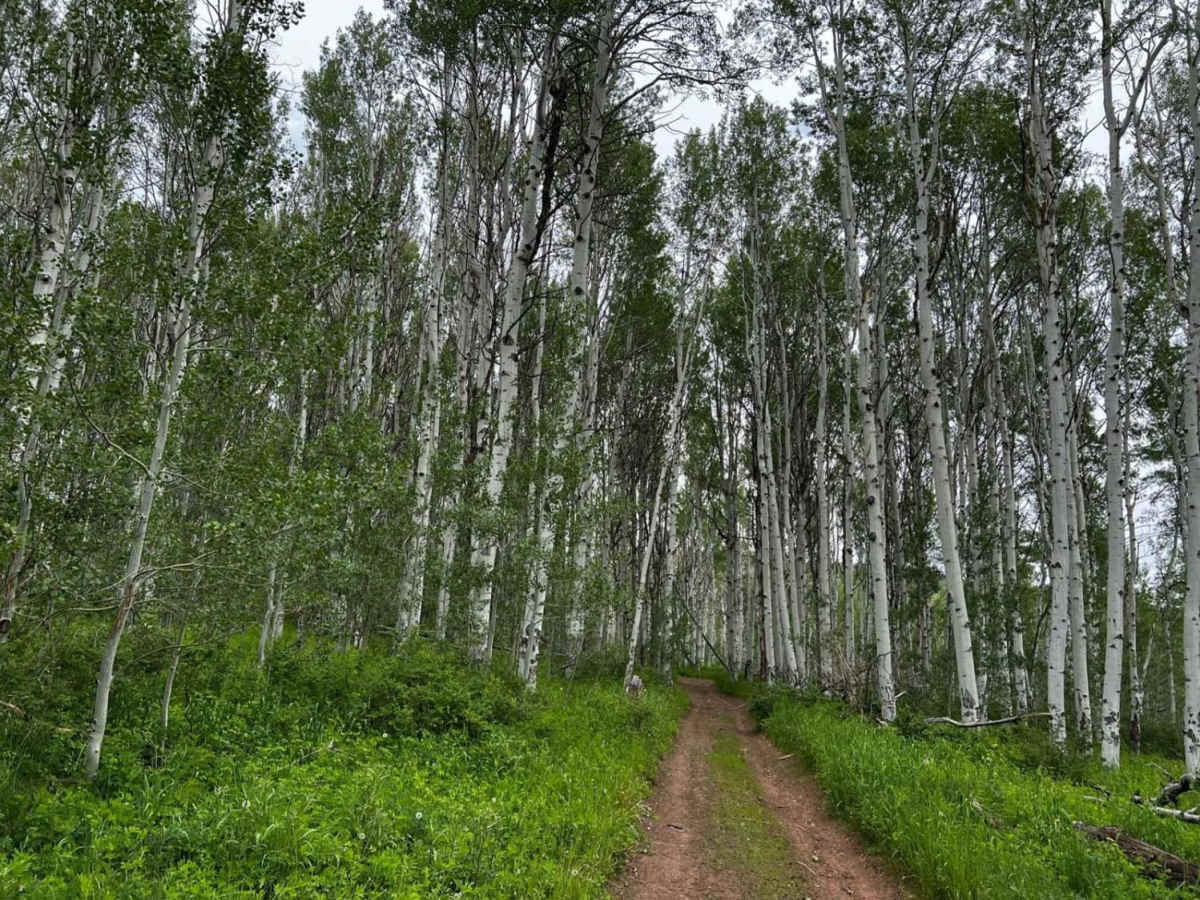
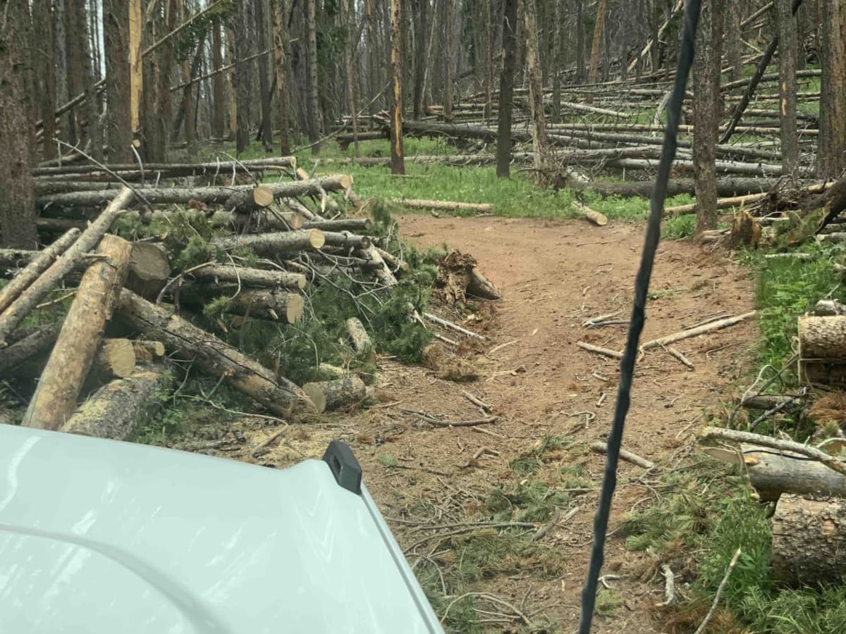
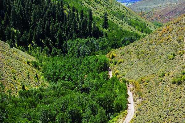
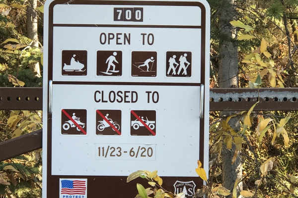
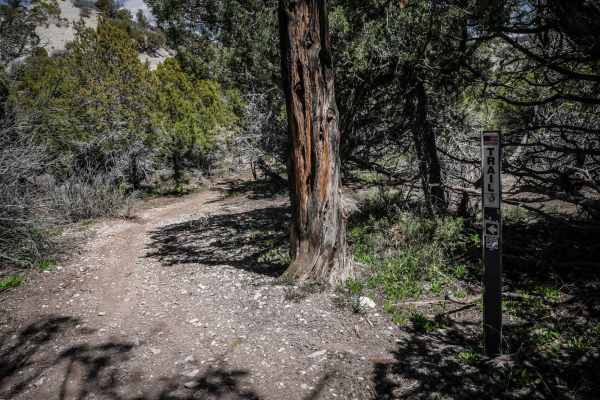
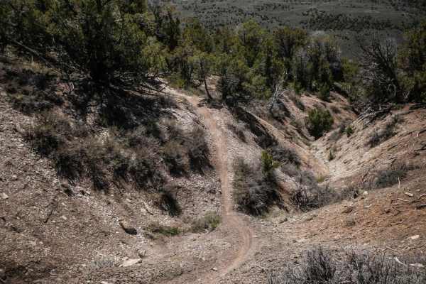
The road begins near Vail, north of I-70. It starts out steep and eventually connects to the Red White Trail. There are some very narrow areas, so consider the width of your vehicle before you get too far up. A full-size SUV or pickup would have a hard time. Your Bronco, Jeep, or mid-size pickup should be fine but may require a spotter in certain areas. Midway, there are beautiful views of the valley, and towards the top, there is an amazing aspen tree grove. The Forest Service has cleared several trees with chainsaws, creating many narrow areas to navigate, so expect downed trees and consider taking a chainsaw. You may encounter both hikers and mountain bikers, but there are few vehicles on this trail. Also, keep in mind that if it has rained recently, this road will likely be impassable. After you connect to the Red White Trail, the road is much easier. Metcalf Creek Road opened in late June, and it is unclear how long it will stay open, so check with the Forest Service.

Photos of Metcalf Creek Road

Difficulty

Metcalf Creek Road starts out very steep and has at least a couple of areas that have large rocks that may require a spotter. It also has ruts and many downed trees that require navigation and some spotting. This trail opens at the end of June after being closed all winter.

History

This trail is named after John Metcalf, who was originally from Ohio. Eventually, he would come to own most of western Avon. He rode with Oscar Traer to Central City to witness the "proving up" of each other's homesteads. He served as one of Eagle County's first commissioners after the county was carved out of Summit County in 1883. He joined forces with fellow homesteaders to build the Metcalf irrigation ditch to open up more land for agriculture. In 1896, Metcalf signed all the property over to his wife and left town for the Klondike Gold Rush in the Yukon Territory, never to return.

Technical Rating

5

Status Reports

Add Status Report
Seth Borglin
Aug 29, 2025
Open
We went with a convoy while it was raining and was no problem on muddy pass. My buddy in a RWD tundra made it haha. There is a section on the right for a harder line, and an easier one on the left; that was the only complicated/technical part. When we left we took metcalf creek road which was downhill the whole time and mighty slick from the rain/mud mix. Slid multiple times trying to stop from colliding with rocks and trees. Also it shows on metcalf a “Y” intersection with the top right of the “Y” not actually being anything related to a road, it’s just woods.
Colorado Marmot
Aug 14, 2025
Open
Very dusty. A few sections of steep rutted areas. Some narrow spots and could see where other vehicles had hit trees. Came down from red and white mountain road to Avon which was in much better shape. Large sections of downed trees but none across trail. 4Runner pro did well but wouldn’t have wanted anything bigger for sure. Best hope you don’t run into anyone going the other way as there are very few spots to pass
bill steen
May 31, 2025
Open
Dane Nielsen
Aug 08, 2023
Open
Nadder A
Jun 07, 2023
Open

Metcalf Creek Road Trail can be accessed by the following ride types:

  • Single Track
  • 50 Inch
  • 60 Inch
  • High Clearance

Metcalf Creek Road Map

The onX Offroad Difference

onX Offroad combines trail photos, descriptions, difficulty ratings, width restrictions, seasonality, and more in a user-friendly interface. Available on all devices, with offline access and full compatibility with CarPlay and Android Auto. Discover what you're missing today!

Open Trail Map