Trail Overview
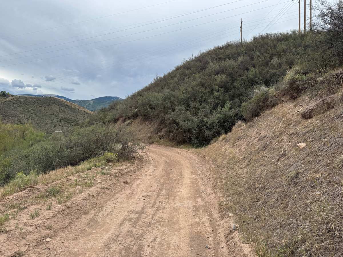
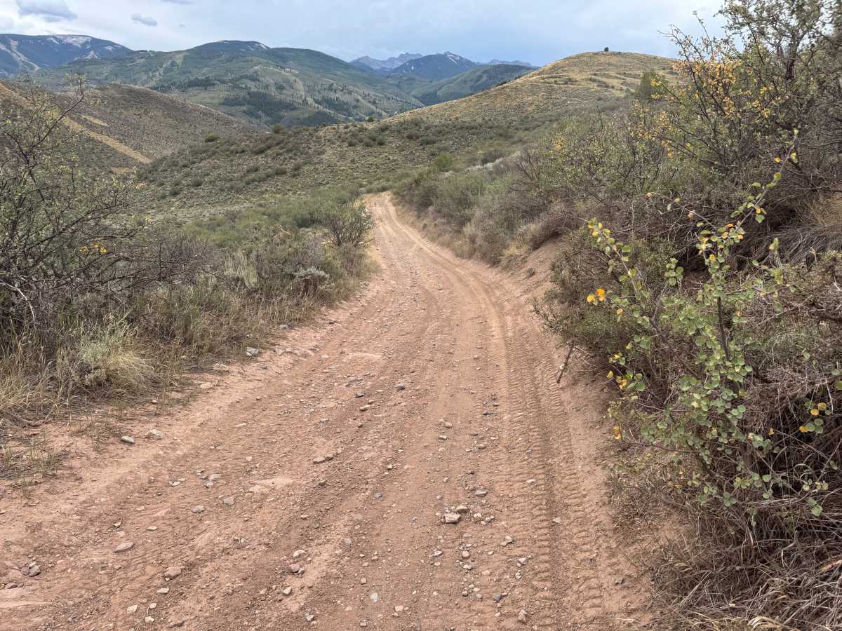
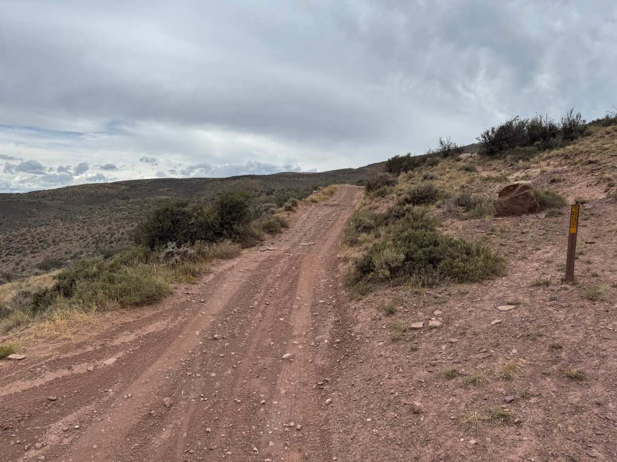
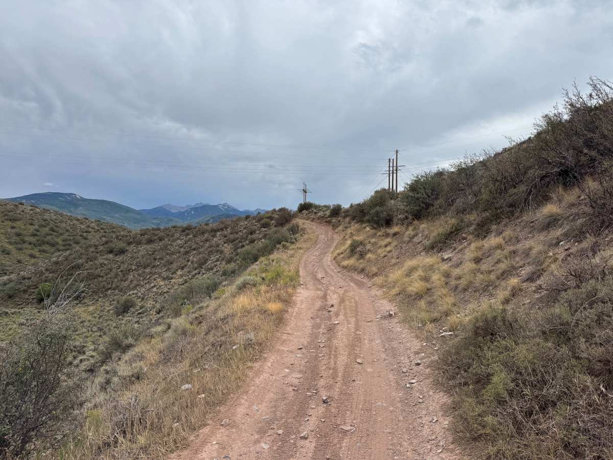
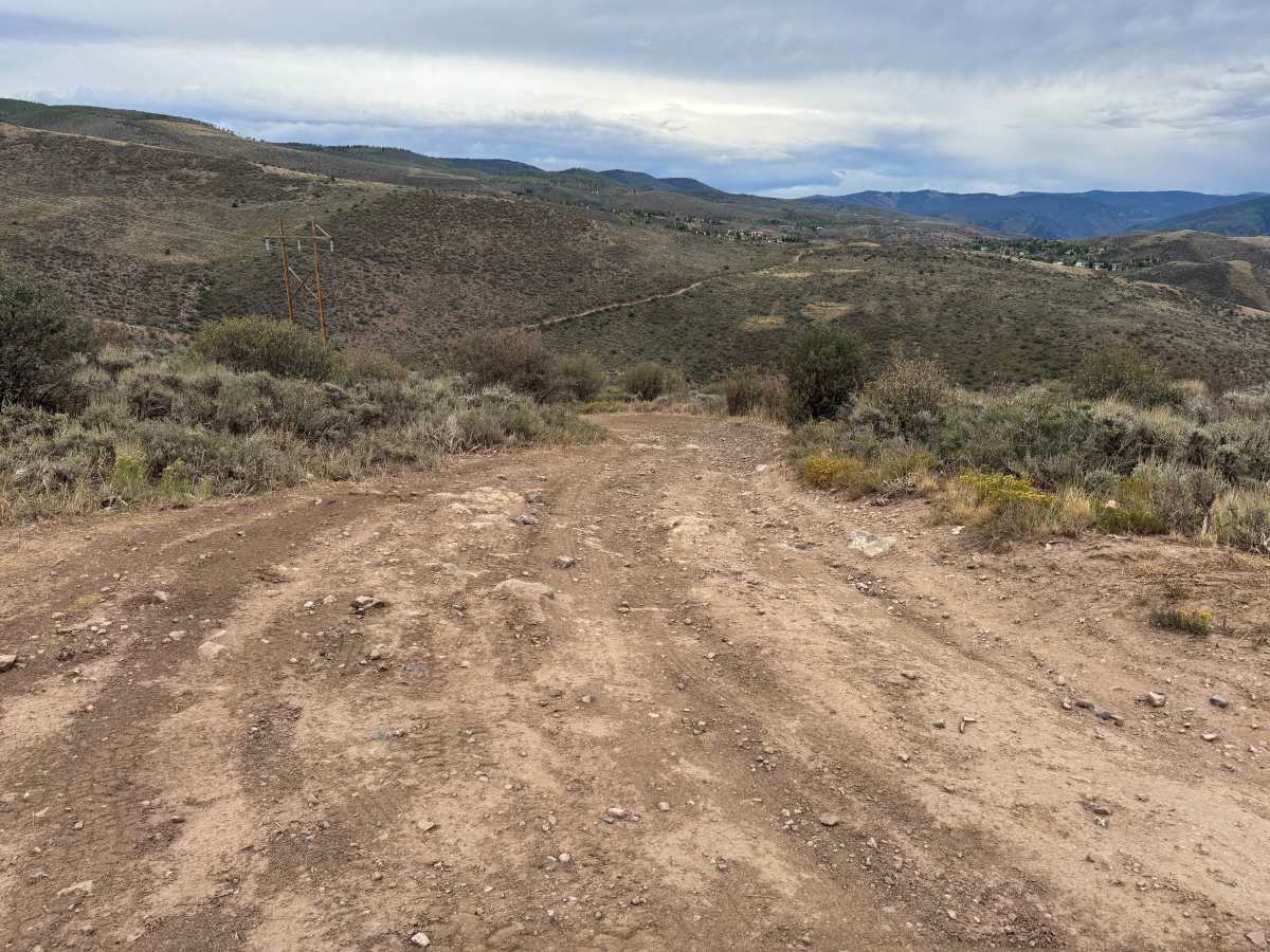
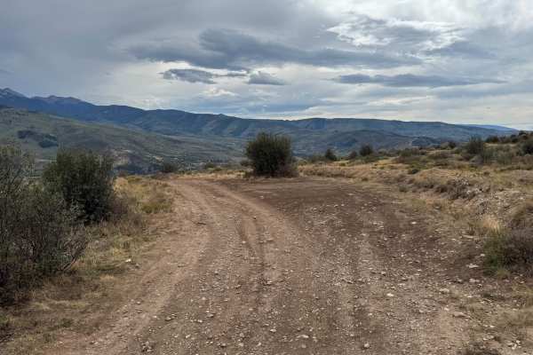
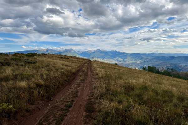
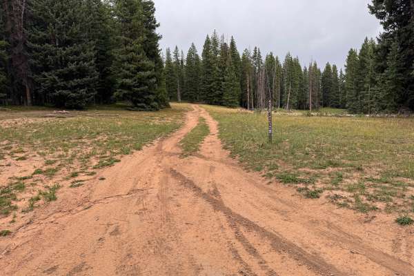
This trail climbs through the hills before connecting with Berry Creek Road. The route is mostly one vehicle wide with very limited, and in some areas no, room to pass another vehicle. The surface consists primarily of dry dirt with scattered loose and embedded rocks, shallow ruts, dips, whoops, and off-camber sections along portions of the trail and through some turns. Much of the route travels across open hillsides covered in sagebrush, grasses, and low-growing vegetation, providing views of the surrounding mountains and White River National Forest. A wider area along the route provides an overlook of the town of Edwards and the valley below. The trail can become very dusty during dry conditions, while rain can make the dirt surface slick and potentially increase the difficulty of the rutted and off-camber sections. There is typical open dates from 05/21-11/22 every year.
Difficulty
The trail consists primarily of dirt with scattered loose and embedded rocks, shallow ruts, dips, whoops, and occasional off-camber sections. Some areas are narrow and require careful tire placement around rocks and uneven sections. Dry conditions can create loose, dusty surfaces, while rain may make the trail slick and increase the difficulty of the ruts and off-camber sections.
History
The mountains surrounding Eagle, Edwards, and Avon have long been used for transportation, ranching, grazing, timber, mining, and recreation. Many of the roads found throughout the area developed from older access routes connecting ranches, mountain valleys, grazing areas, and resource sites. The region's history is closely tied to the Eagle River Valley, which became an important transportation corridor through the central Colorado mountains. Remnants of earlier land use and historic routes can still be encountered throughout the surrounding public lands.

 Offroad