Trail Overview
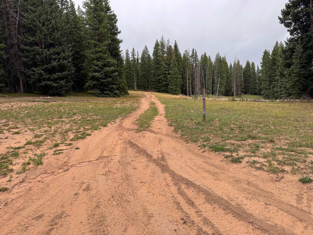
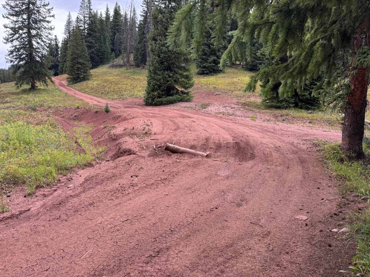
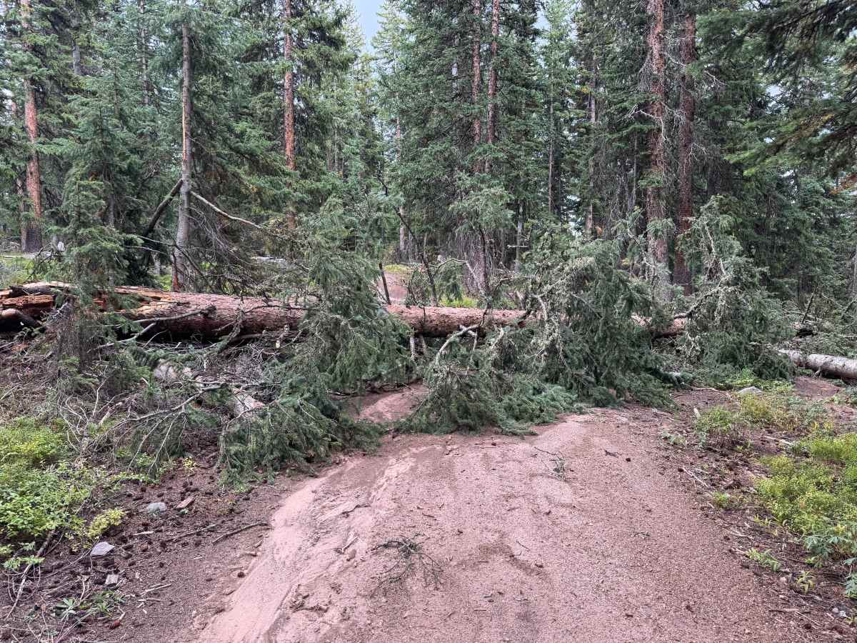
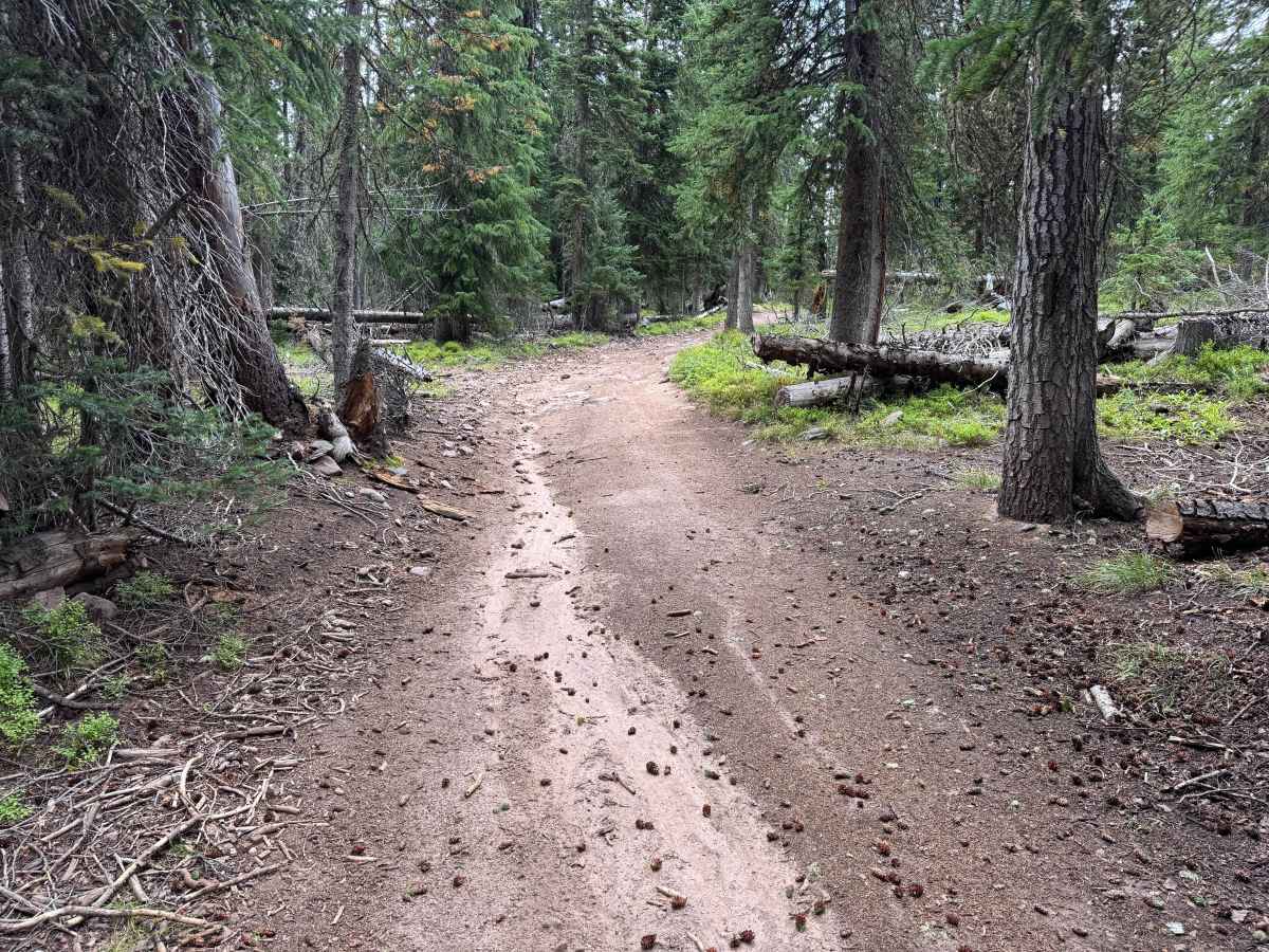
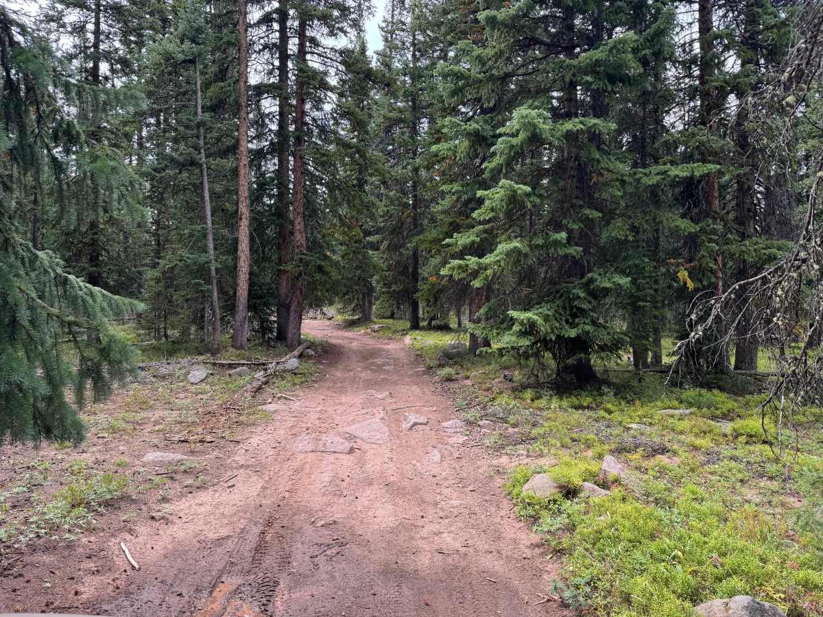
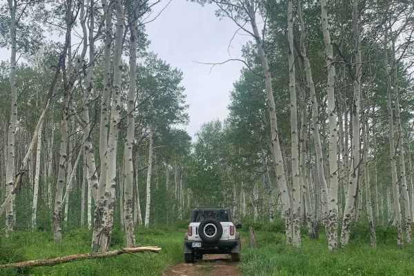
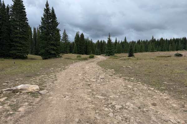
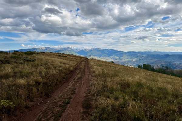
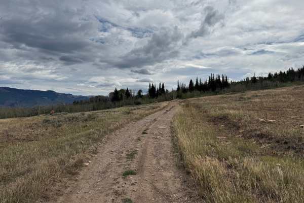
This route travels through a mix of open mountain meadows and dense evergreen forest, with the trail narrowing to a single-vehicle-wide dirt two-track for most of the route. The surface is primarily packed dirt with areas of loose and embedded rocks, shallow ruts, and erosion. Several sections show evidence of holding water and can become muddy after rain or during snowmelt, with some mud holes potentially being deeper than they initially appear. There is also a rockier section with a rock shelf that may require more careful tire placement. Fallen trees and other debris may occasionally create additional obstacles through the heavily forested sections. The more open portions provide views across the surrounding mountains and valleys, while the forested sections are lined closely with mature evergreens. Several dispersed camping opportunities can be found near the western end of the route. Seasonal open dates are typically May 21 through November 22.
Difficulty
The route consists primarily of packed dirt two-track with loose and embedded rocks, shallow ruts, erosion, and several areas that can hold mud and standing water. Some mud holes may be deeper than they appear, particularly following rain or snowmelt. The primary technical challenge is a rockier section with a rock shelf that requires more careful tire placement. Seasonal moisture can significantly increase the difficulty of the muddy and rutted sections. Be aware of the potentional of down trees blocking the route.
History
The mountains surrounding Eagle, Edwards, and Avon have long been used for transportation, ranching, grazing, timber, mining, and recreation. Many of the roads found throughout the area developed from older access routes connecting ranches, mountain valleys, grazing areas, and resource sites. The region's history is closely tied to the Eagle River Valley, which became an important transportation corridor through the central Colorado mountains. Remnants of earlier land use and historic routes can still be encountered throughout the surrounding public lands.