Trail Overview
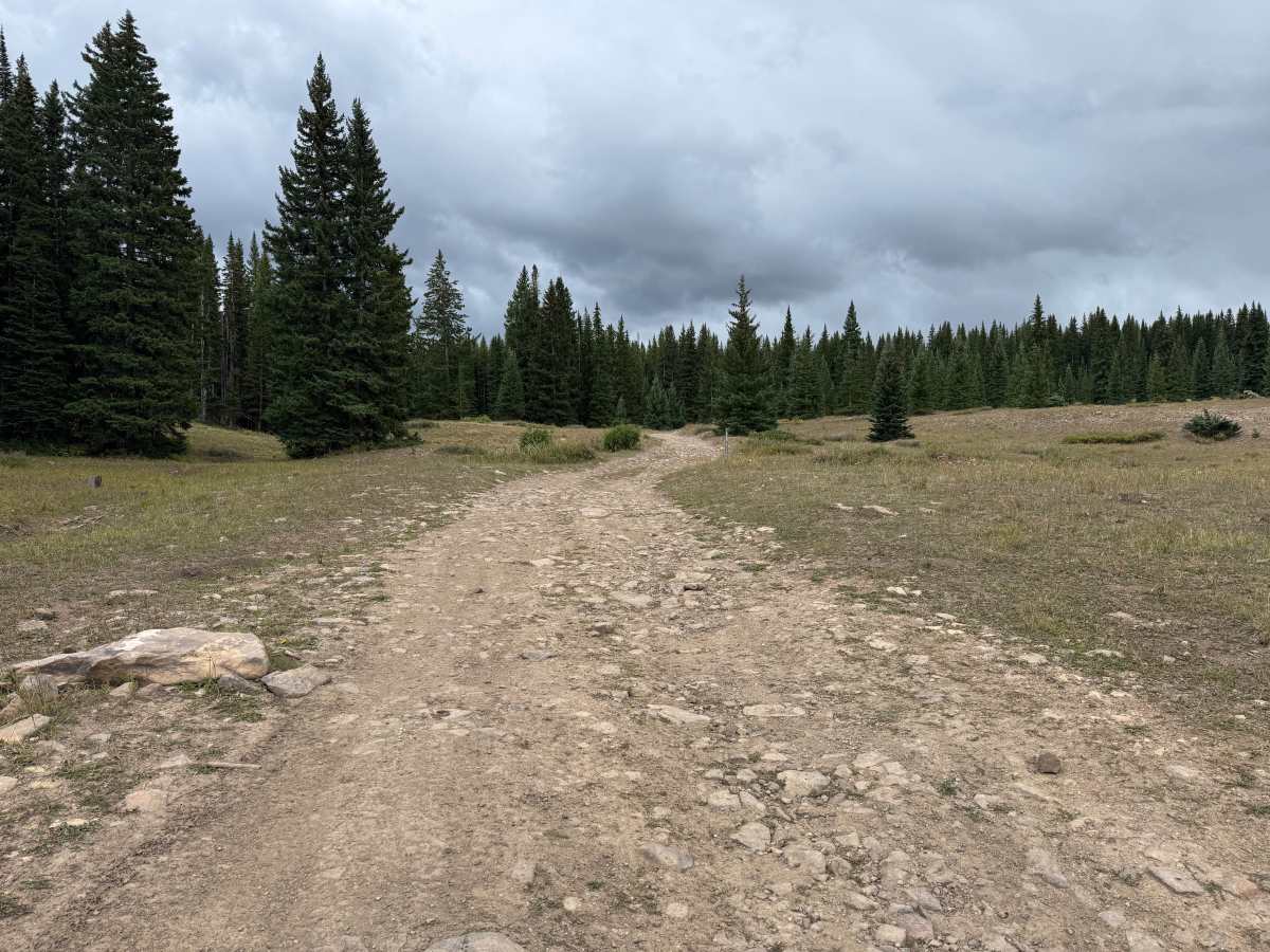
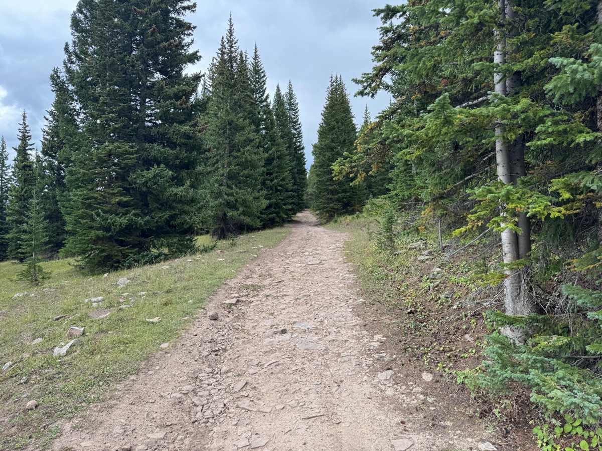
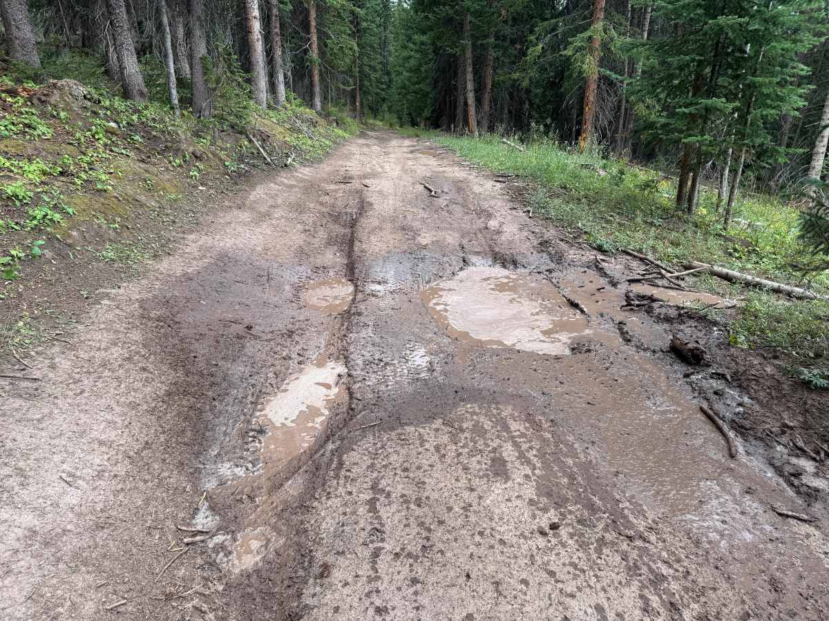
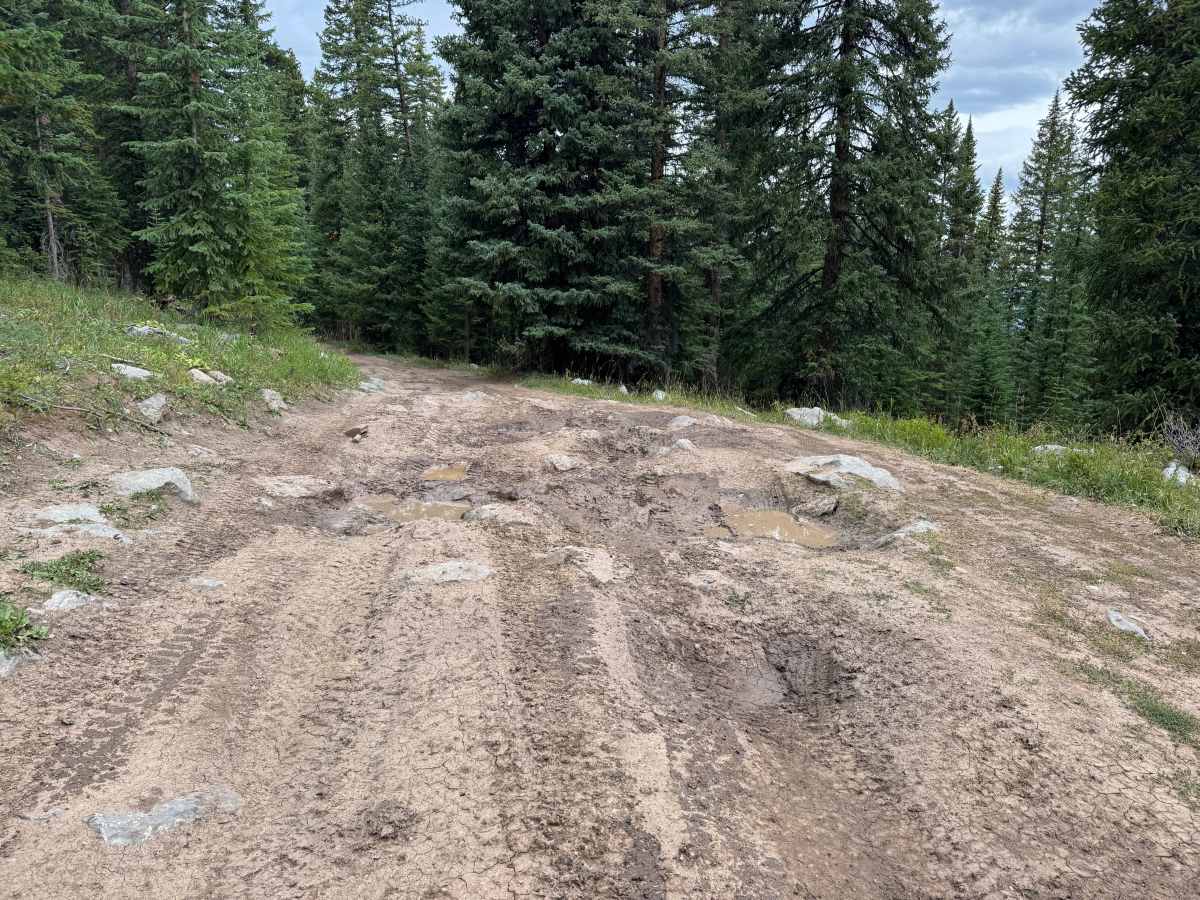
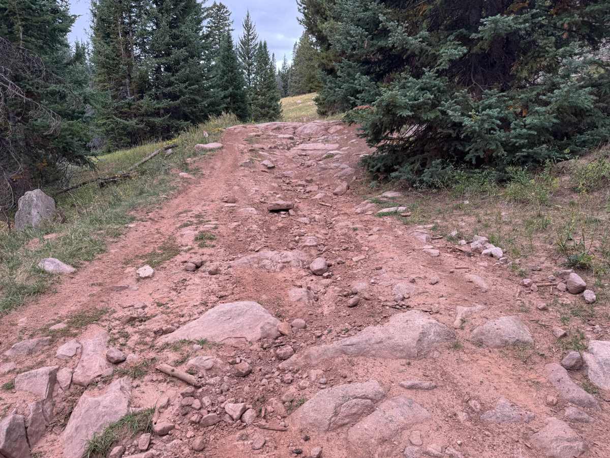
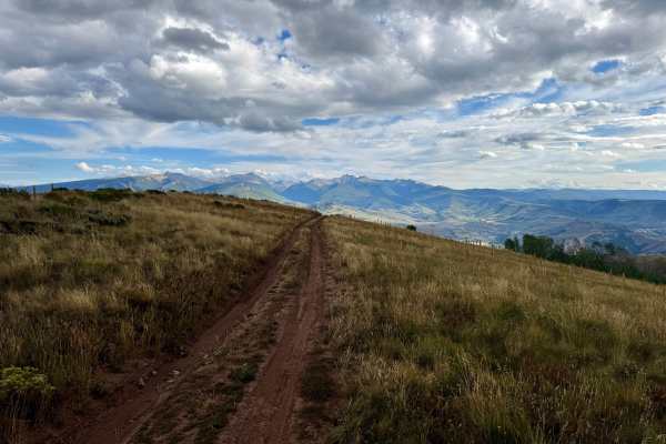
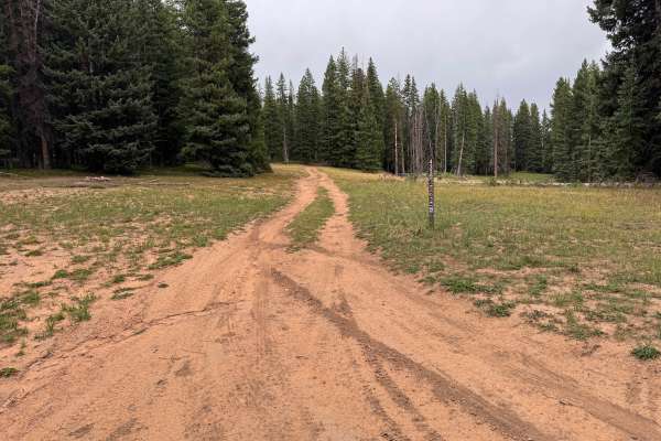
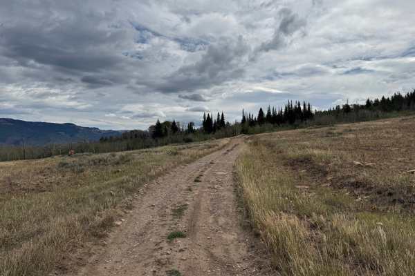
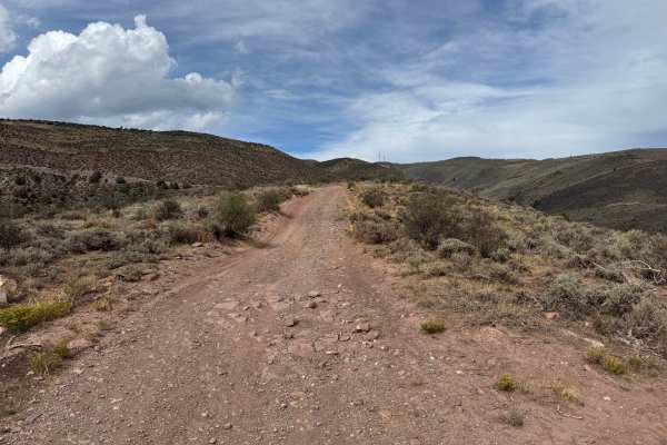
This route travels through a high-elevation landscape of open grassy meadows and dense evergreen forest. The trail is primarily one vehicle wide and varies considerably in surface conditions along the way. Some sections consist of relatively smooth packed dirt with scattered loose and embedded rocks, while others become much rockier with exposed bedrock, larger embedded rocks, ruts, and uneven erosion. Mud and standing water can also be encountered in lower areas, with conditions becoming considerably softer after rain or snowmelt. As the route enters the forest, trees and vegetation grow closer to the trail and limit opportunities for passing. The rockier sections require more careful tire placement, particularly where erosion has exposed larger rocks and created uneven lines across the trail. At least one section is not recommended for low-clearance vehicles due to the rougher and rockier terrain. Portions of this fire road are likely to remain covered in snow well into May, so seasonal open dates are typically June 21 through November 22.
Difficulty
The route varies from relatively smooth packed dirt to rougher sections with loose and embedded rocks, exposed bedrock, ruts, mud, and uneven erosion. Some rocky sections require careful tire placement where larger rocks create uneven lines across the trail. Wet conditions and snowmelt can increase the depth of muddy areas and ruts, while lingering snow may affect the route early in the season. At least one section is not recommended for low-clearance vehicles.
History
The mountains surrounding Eagle, Edwards, and Avon have long been used for transportation, ranching, grazing, timber, mining, and recreation. Many of the roads found throughout the area developed from older access routes connecting ranches, mountain valleys, grazing areas, and resource sites. The region's history is closely tied to the Eagle River Valley, which became an important transportation corridor through the central Colorado mountains. Remnants of earlier land use and historic routes can still be encountered throughout the surrounding public lands.

 Offroad