Trail Overview
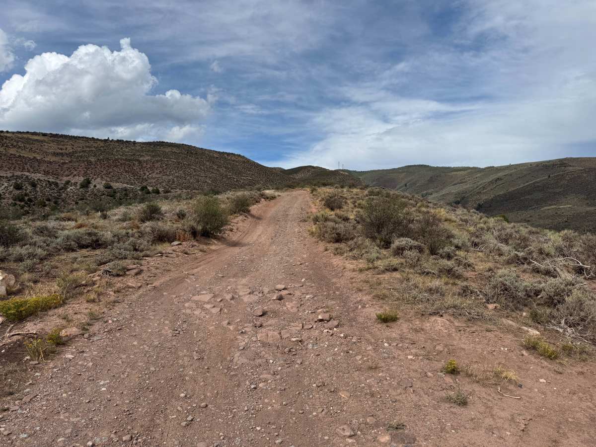
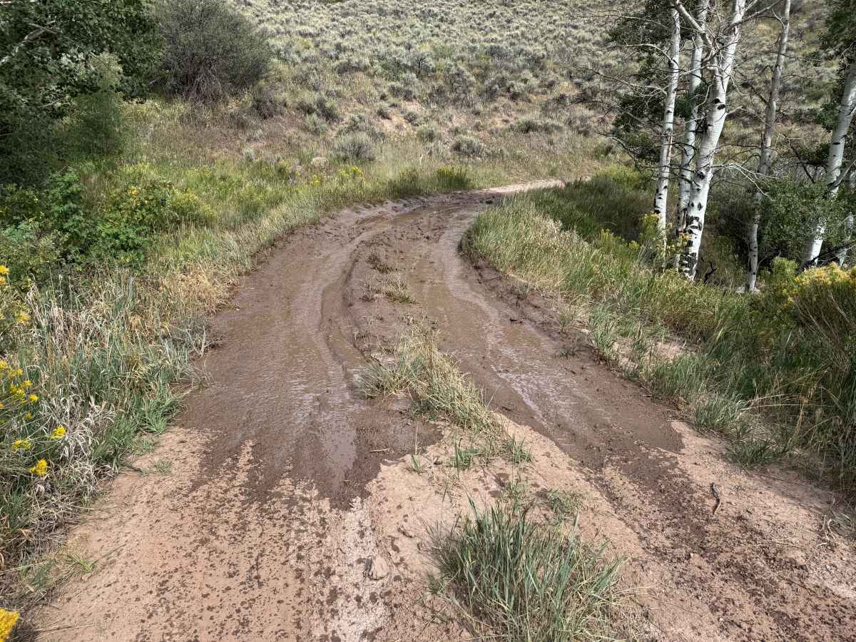
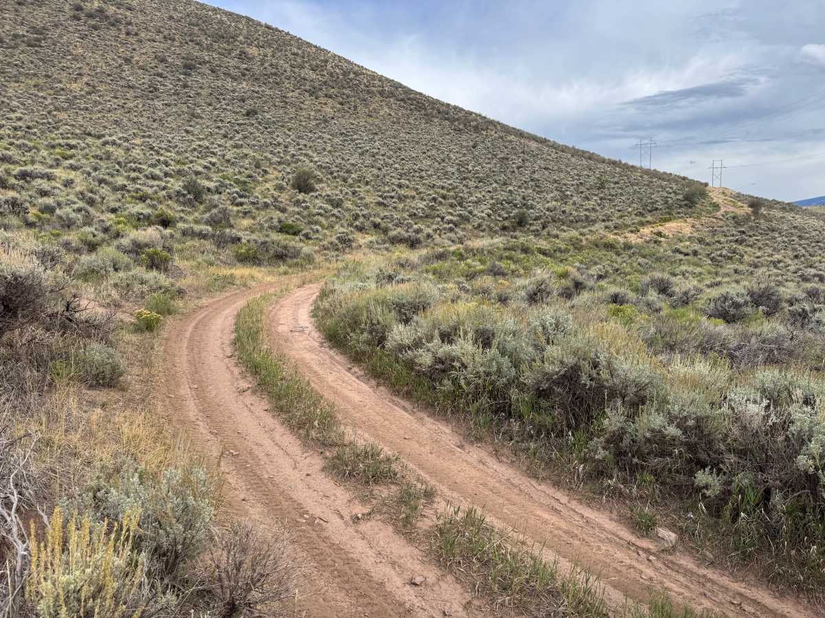
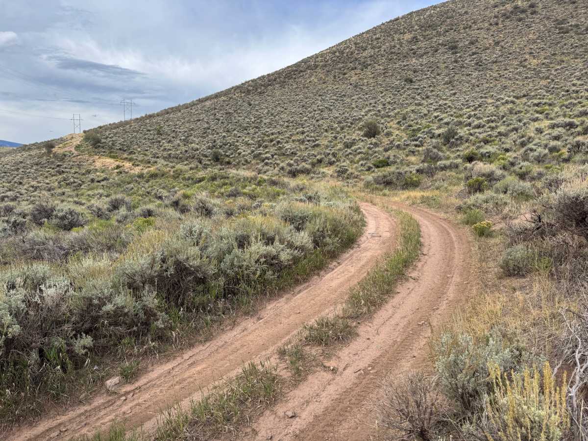
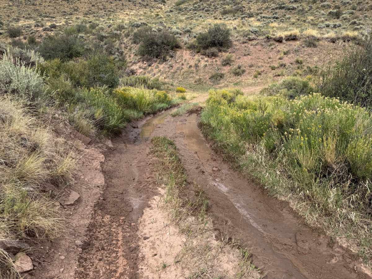
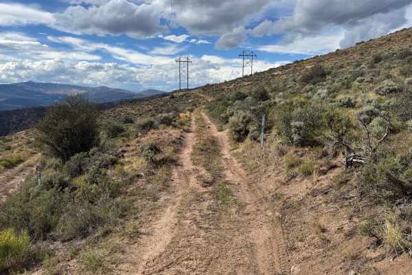
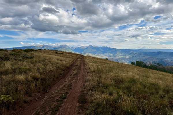
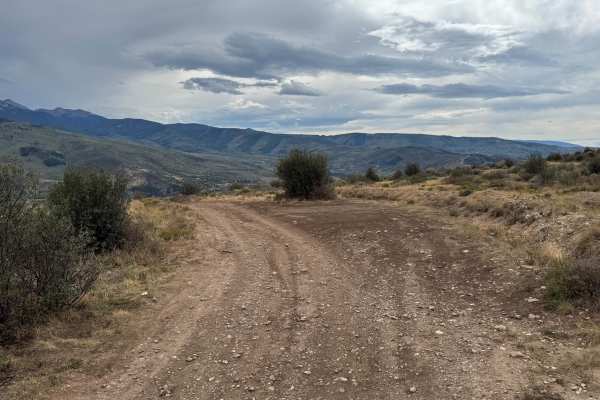
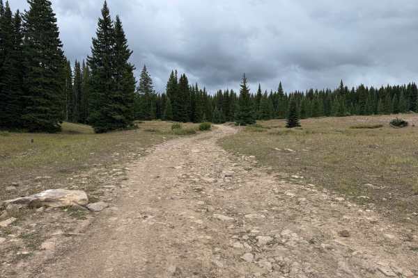
This route travels through open, rolling hills covered primarily in sagebrush, grasses, and other low-growing vegetation, with very few trees along most of the trail. The surface varies between packed dirt, loose rock, and a narrower two-track with shallow ruts and uneven sections. Some portions are relatively smooth, while others have more exposed and scattered rocks that create a rougher surface. Low areas along the route can hold water and develop muddy ruts, with some sections becoming significantly softer and more challenging following rain. The trail winds through the hills with several gradual climbs, descents, and curves. Most of the route is approximately one vehicle wide with limited opportunities for passing. Open terrain provides views across the surrounding hills and valleys throughout much of the route.
Difficulty
Mostly dirt and two-track with scattered rocks, shallow ruts, and uneven sections. Muddy areas can become slick and more challenging after rain.
History
The mountains surrounding Eagle, Edwards, and Avon have long been used for transportation, ranching, grazing, timber, mining, and recreation. Many of the roads found throughout the area developed from older access routes connecting ranches, mountain valleys, grazing areas, and resource sites. The region's history is closely tied to the Eagle River Valley, which became an important transportation corridor through the central Colorado mountains. Remnants of earlier land use and historic routes can still be encountered throughout the surrounding public lands.