Trail Overview
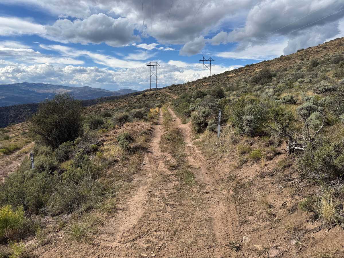
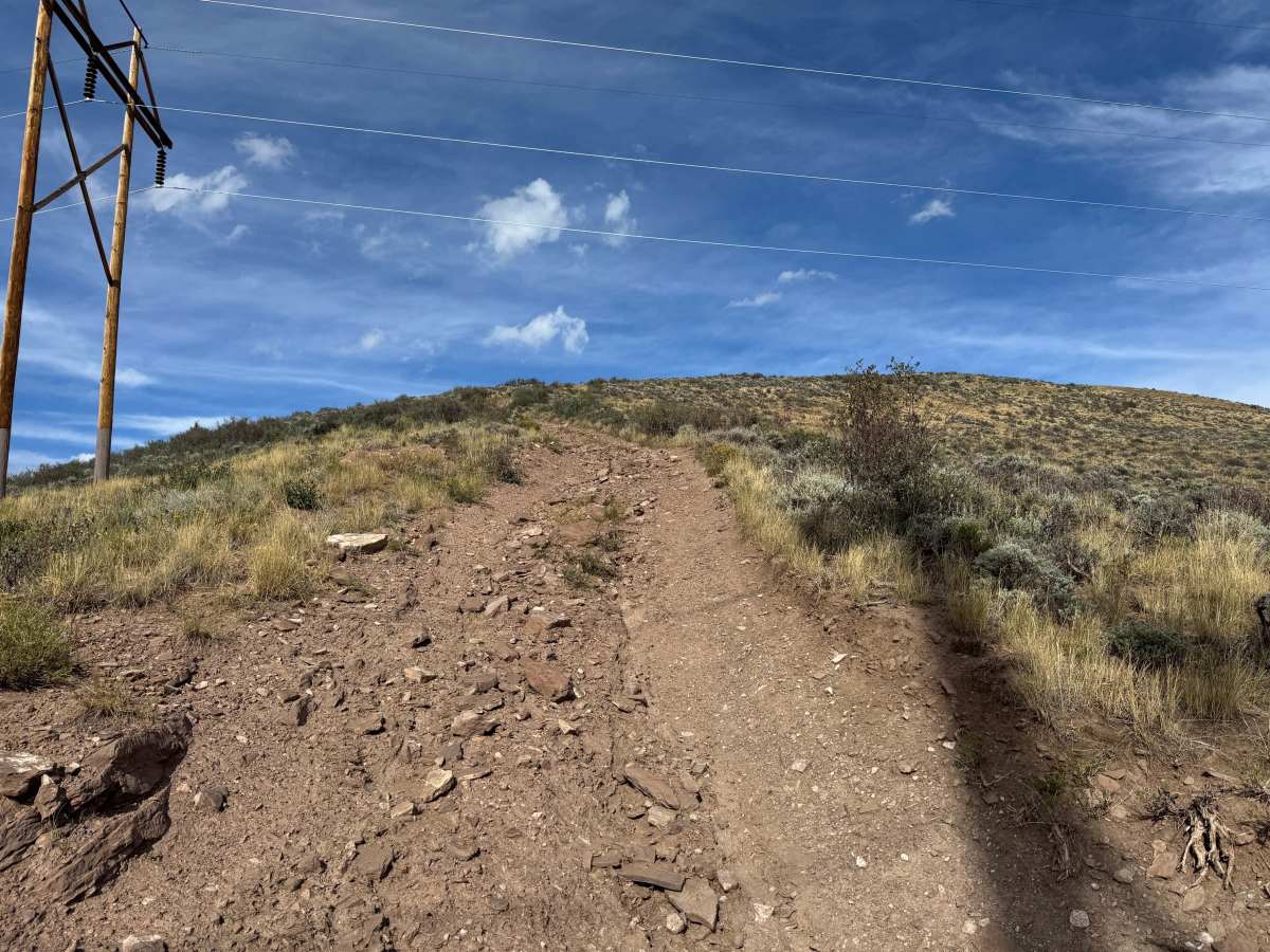
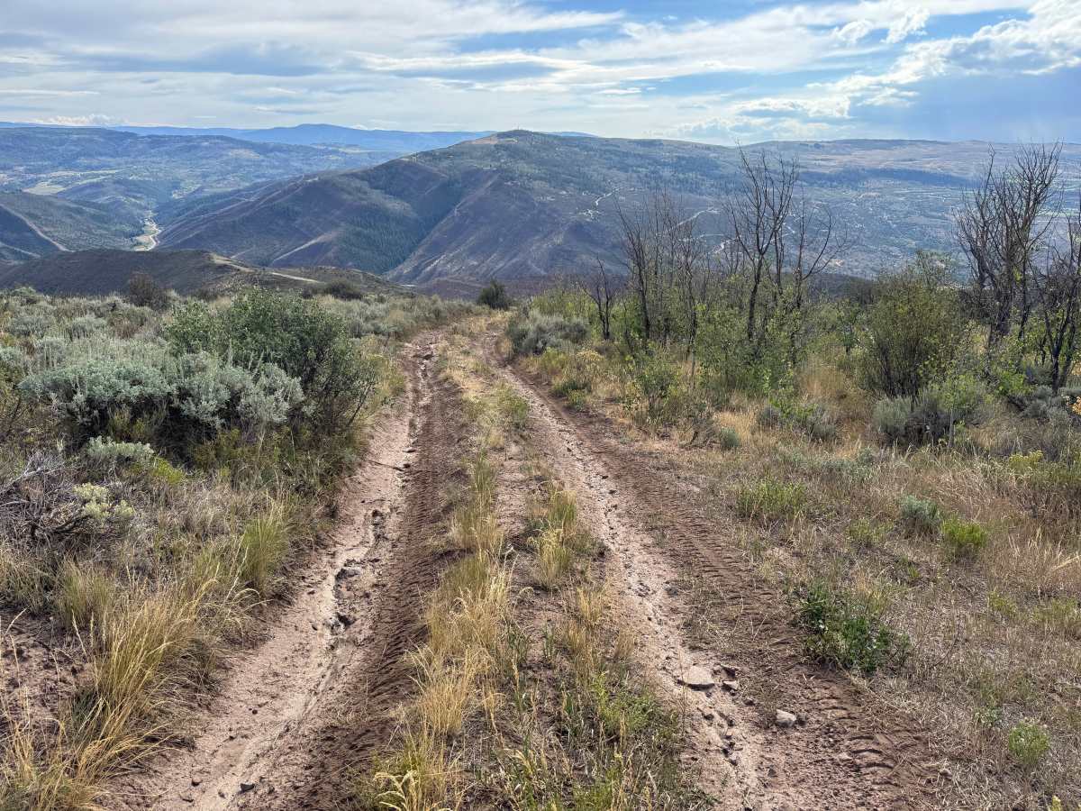
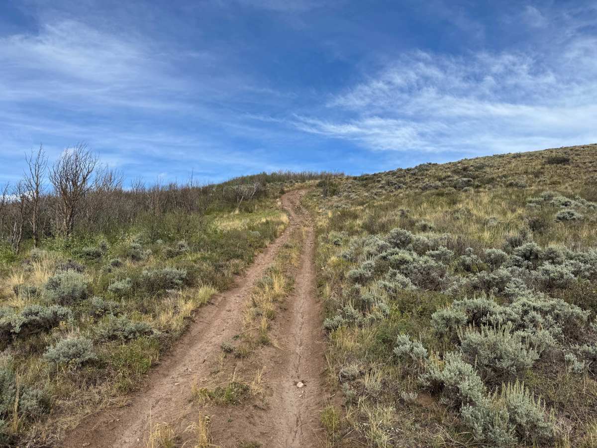
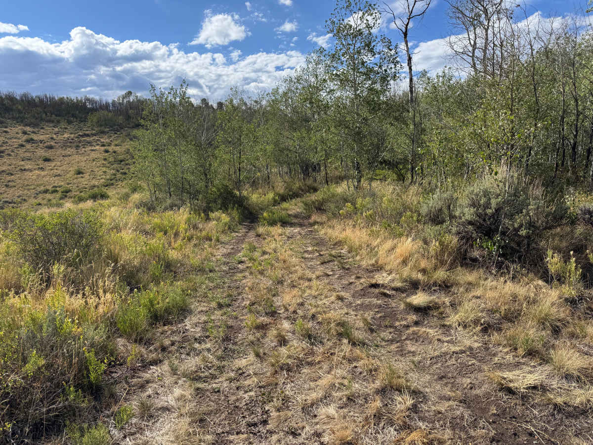
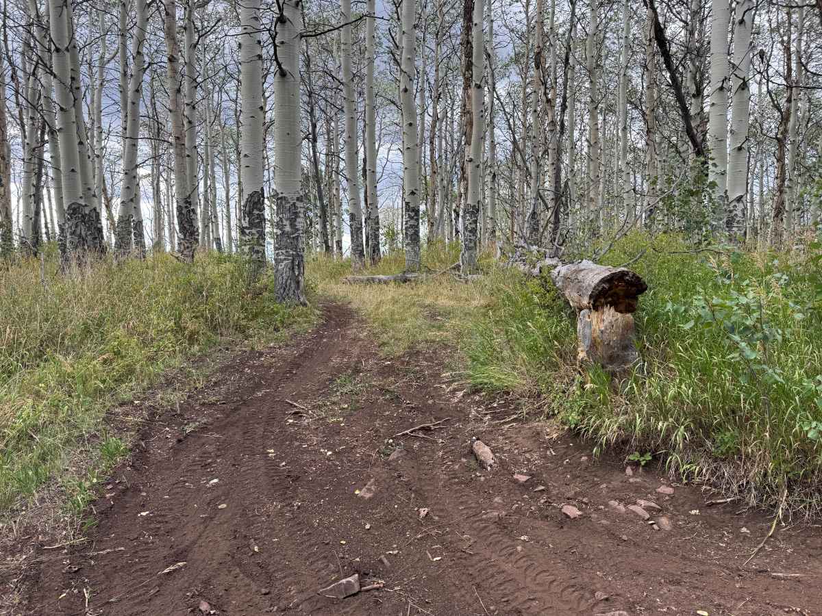
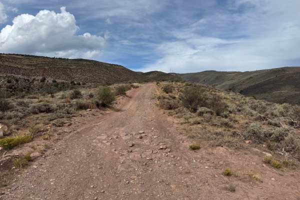
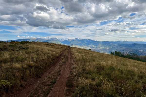
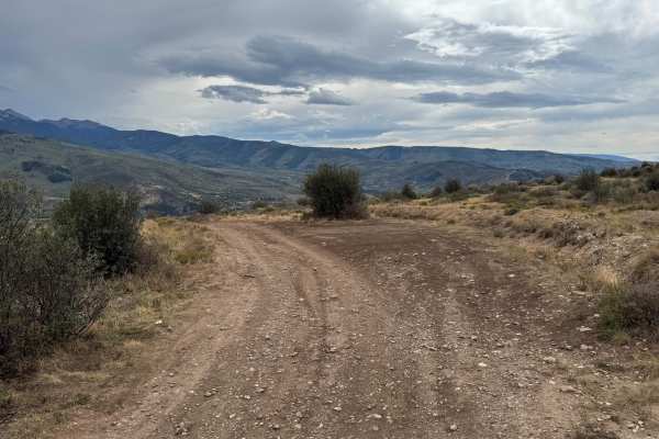
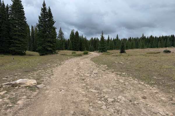
Tames Creek travels through the hills north of Edwards, offering a mix of open ridgelines, steep climbs, and sections of dense aspen forest. The route follows mostly narrow two-track with areas of loose rock, shallow ruts, and erosion. Several climbs become steeper and rockier, requiring careful tire placement and good traction. Much of the higher terrain is open, providing expansive views across the surrounding mountains and valleys. As the trail drops into the lower areas, it passes through thick stands of aspen where the route becomes narrow and overgrown in places. Mud and standing water can also develop in these lower sections, making conditions considerably slicker after rain. Overall, Tames Creek provides a more challenging alternative to the easier roads in the surrounding trail system. This route has seasonal open dates that are typically from 05/21-11/22.
Difficulty
Steep grades combined with loose, uneven rock are the primary challenges. Some sections require careful tire placement to maintain traction, while wet conditions can significantly increase difficulty.
History
The mountains surrounding Eagle, Edwards, and Avon have long been used for transportation, ranching, grazing, timber, mining, and recreation. Many of the roads found throughout the area developed from older access routes connecting ranches, mountain valleys, grazing areas, and resource sites. The region's history is closely tied to the Eagle River Valley, which became an important transportation corridor through the central Colorado mountains. Remnants of earlier land use and historic routes can still be encountered throughout the surrounding public lands.