Trail Overview
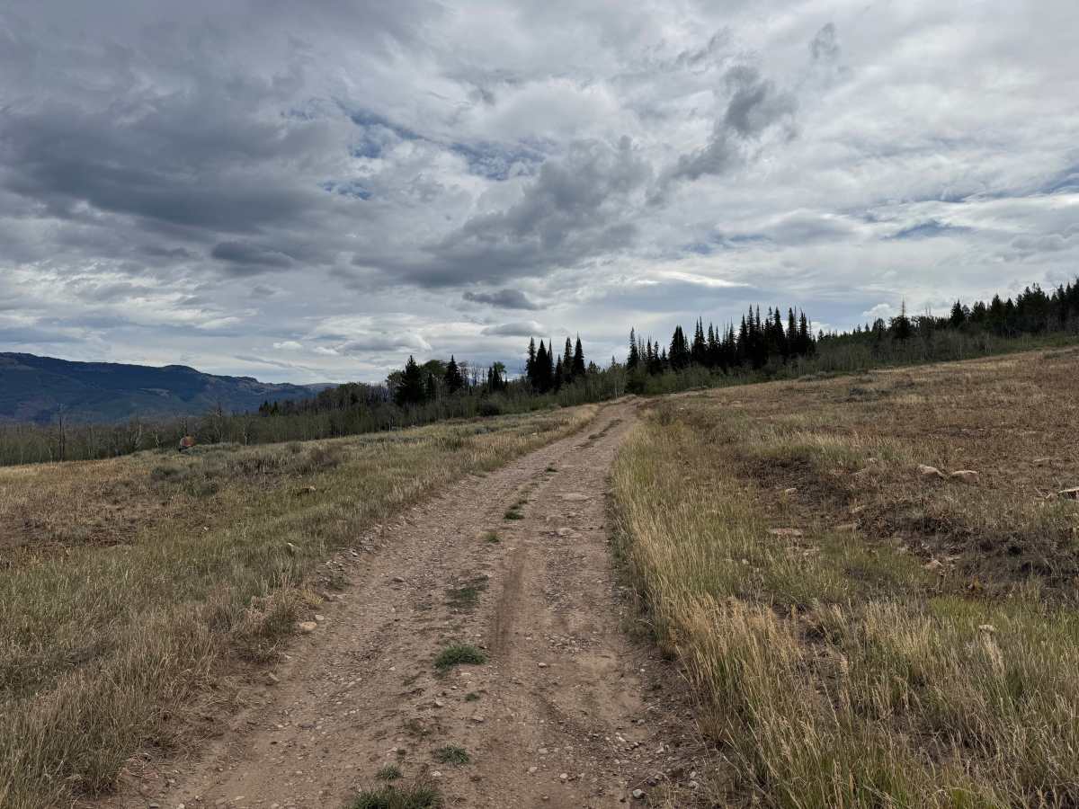
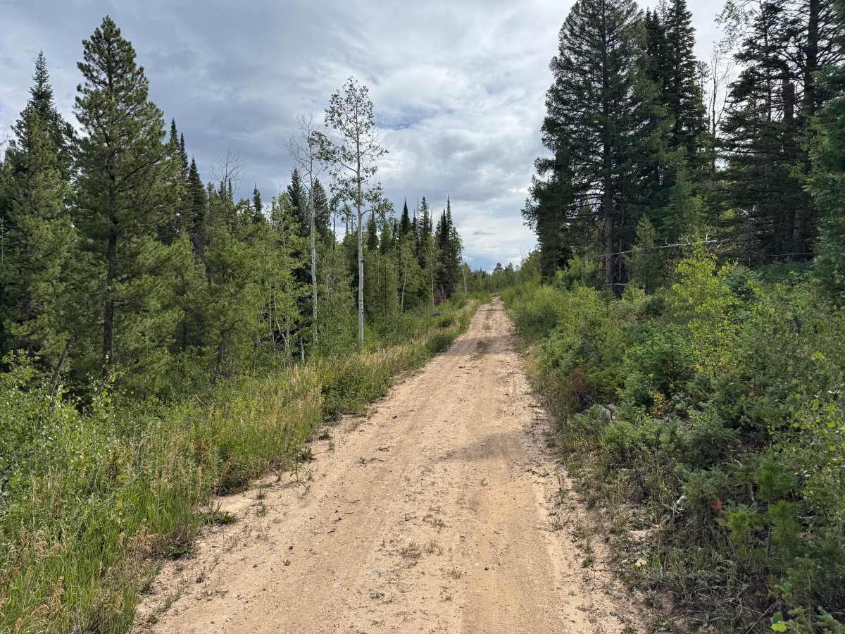
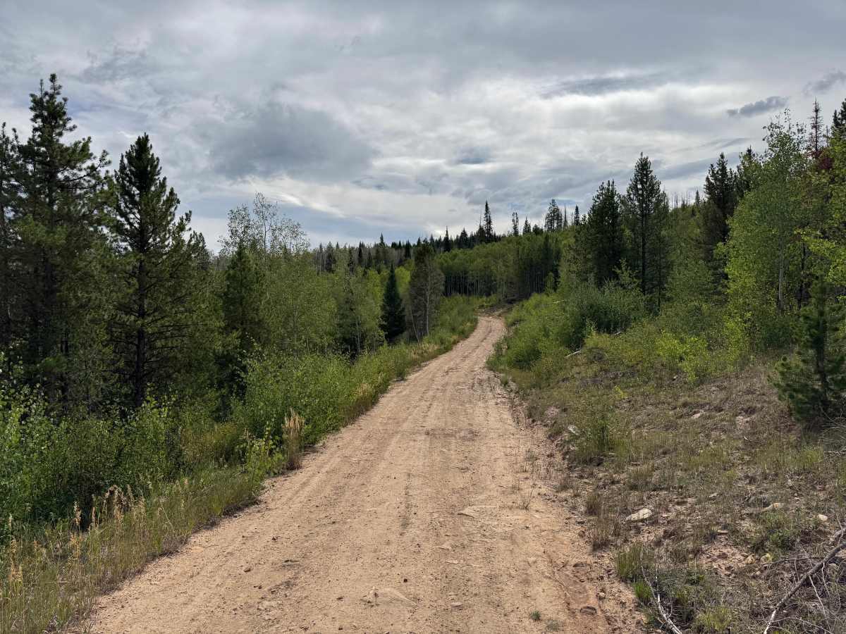
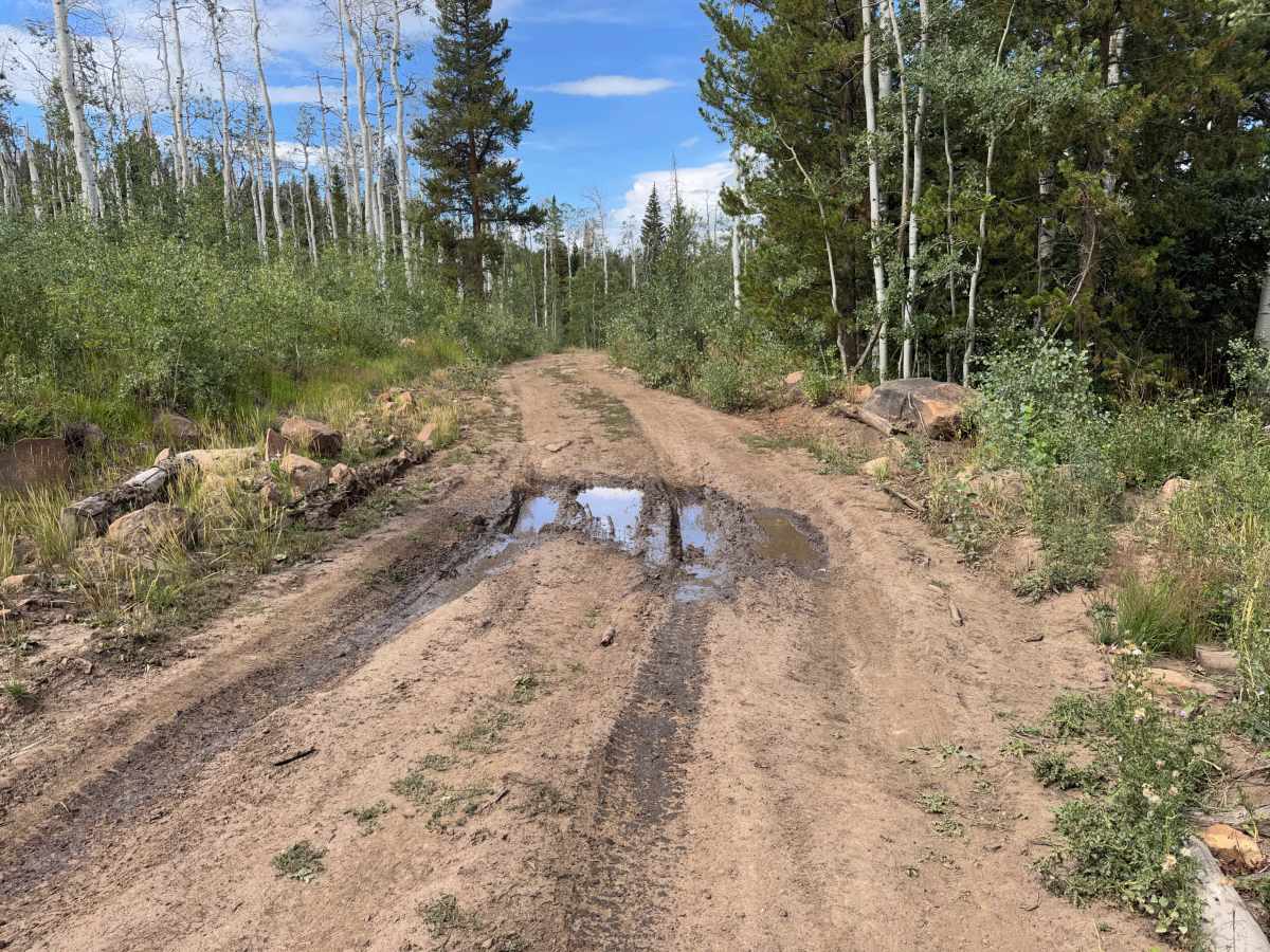
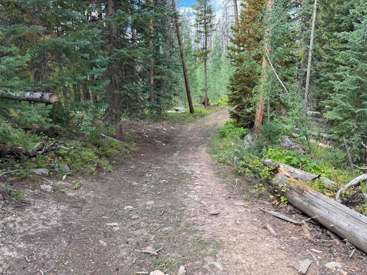
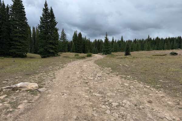
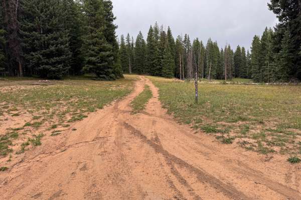
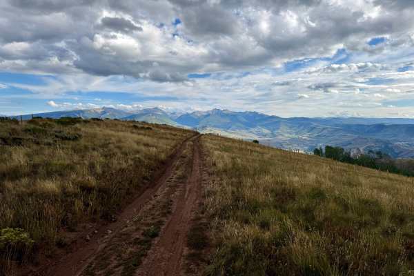
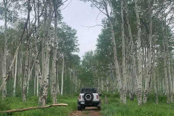
This route travels through a mix of open mountain meadows and dense stands of pine and aspen before reaching the Piney Guard Station. The trail surface varies between packed dirt, loose rock, and softer sandy sections, with some embedded rocks and shallow ruts along the way. Several areas can hold water and become muddy, with conditions likely becoming considerably more challenging following recent rain or snowmelt. The route is generally one vehicle wide, and vegetation becomes tighter as it travels deeper into the forest. The surrounding landscape changes from open grassy areas with distant mountain views to thick forest with aspen, pine, shrubs, and fallen timber. There are no major rock obstacles visible along the route, but uneven terrain, ruts, mud, and changing weather conditions can make travel more difficult. The Piney Guard Station is located back in the forest and serves as the primary destination along this route. There is a seasonal closure that keeps the route open every year, typically from 05/21-11/22.
Difficulty
The route consists primarily of packed dirt and sandy surfaces with scattered loose and embedded rocks, shallow ruts, and occasional uneven sections. Mud and standing water can develop in low areas, with ruts becoming deeper and traction more limited following rain or snowmelt. The trail is generally one vehicle wide with no major ledges or technical rock obstacles. Most of the route requires only basic tire placement, though muddy or heavily rutted conditions can increase the difficulty.
History
The mountains surrounding Eagle, Edwards, and Avon have long been used for transportation, ranching, grazing, timber, mining, and recreation. Many of the roads found throughout the area developed from older access routes connecting ranches, mountain valleys, grazing areas, and resource sites. The region's history is closely tied to the Eagle River Valley, which became an important transportation corridor through the central Colorado mountains. Remnants of earlier land use and historic routes can still be encountered throughout the surrounding public lands.

 Offroad