Trail Overview
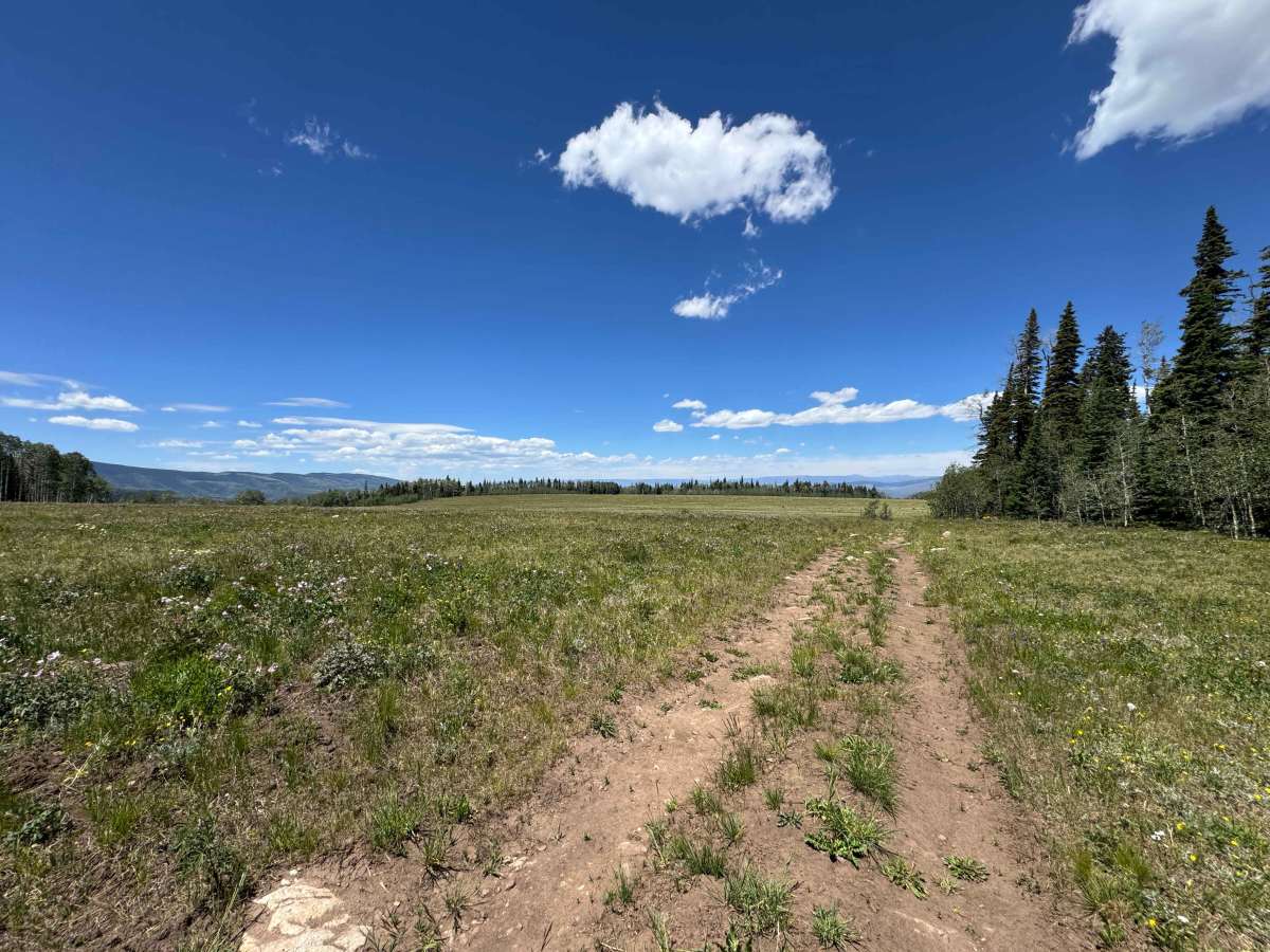
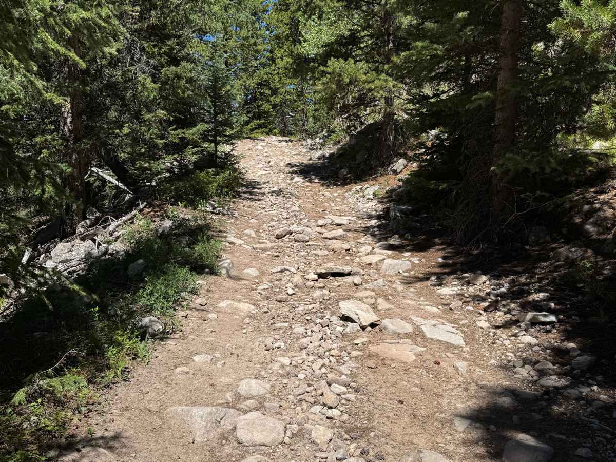
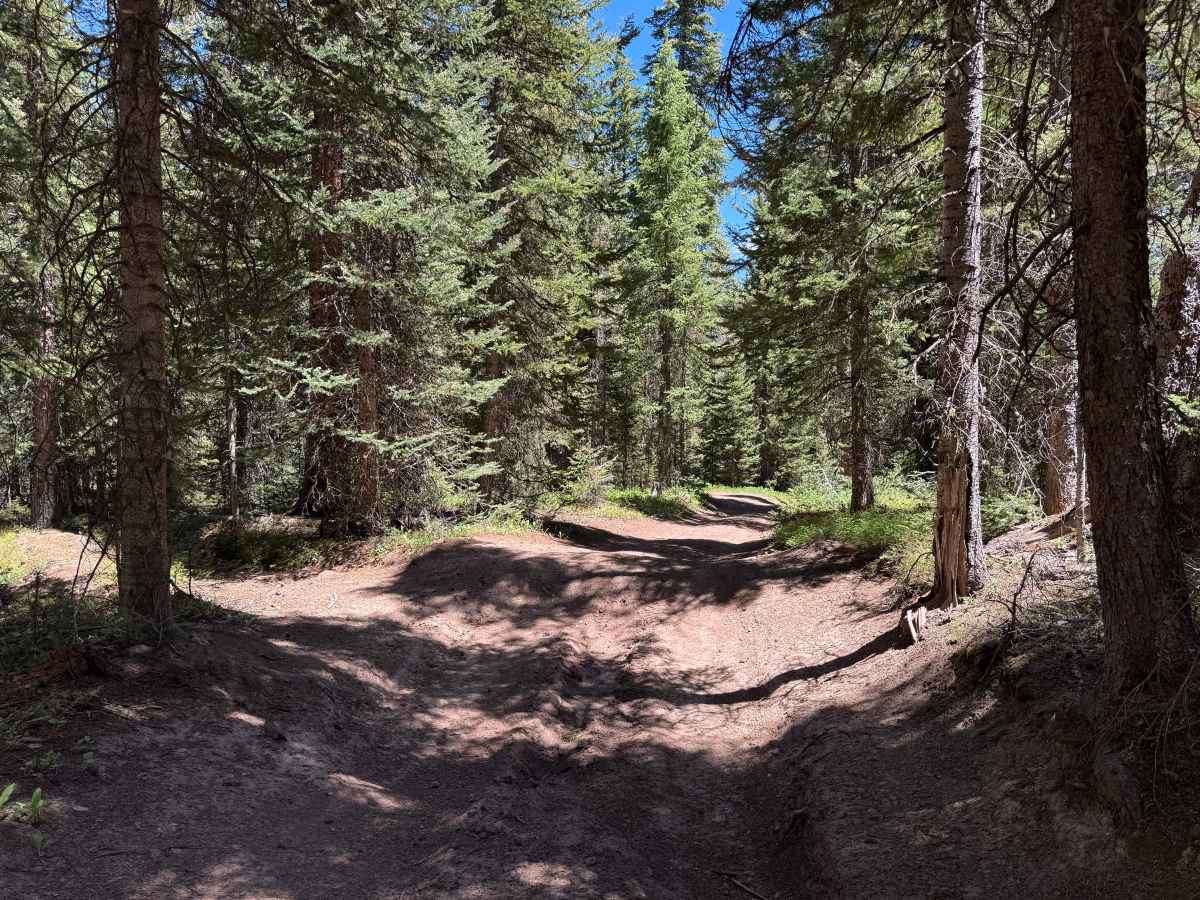
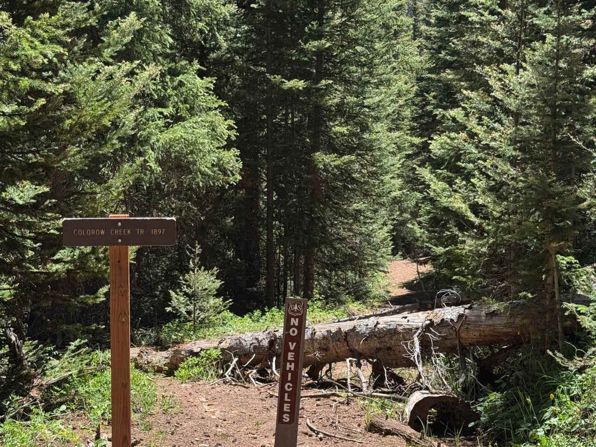
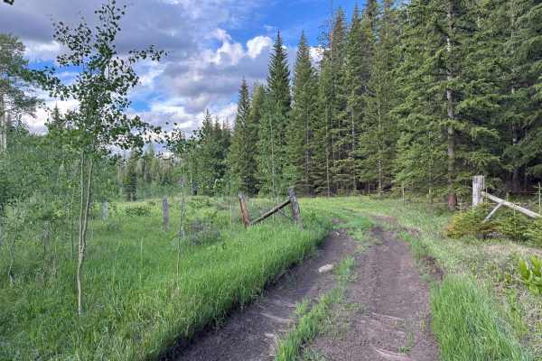
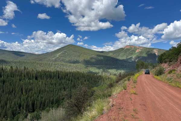
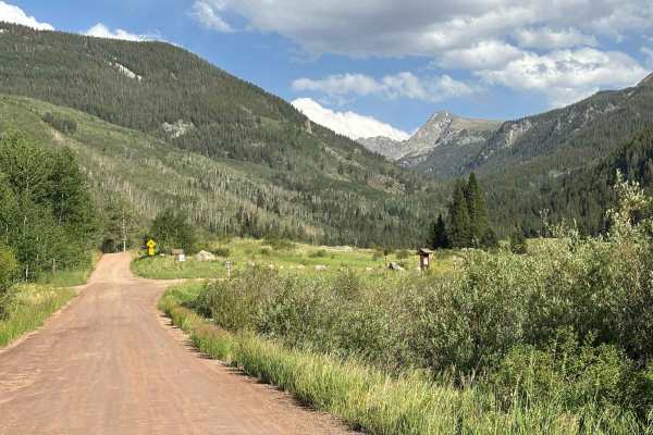
As soon as you turn off FS 418 onto this route, it is highly recommended to air down your tires, as the first several miles consist of a relentless stretch of chunky rocks and uneven terrain. Beyond this section, the trail transitions into a series of steep rock chutes filled with increasingly larger obstacles that demand careful tire placement and attention to line choice. Keep in mind that this is an out-and-back route, so every obstacle encountered on the descent must eventually be climbed on the return trip, making the drive out considerably more challenging. After the technical sections, the trail levels out and enters a darker, heavily wooded area where deep ruts line both sides of the road. Eventually, the forest opens into some of the most spectacular high-country meadows in the region, offering expansive views and a peaceful alpine setting. Unfortunately, motorized travel ends at a gated closure just a short ten-minute walk from a parking area and road that ultimately connects to Edwards, leaving the final stretch accessible only to hikers and non-motorized users.
Difficulty
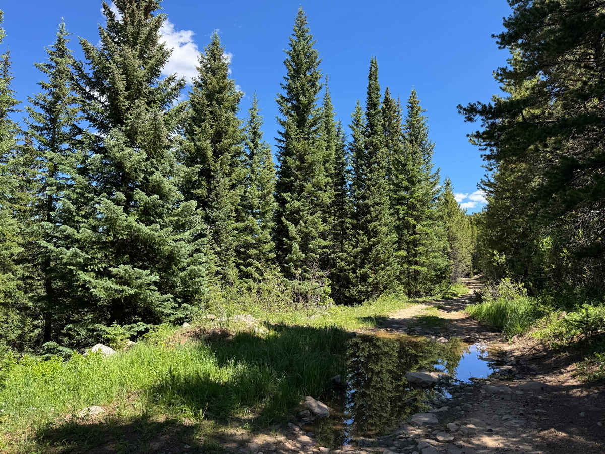
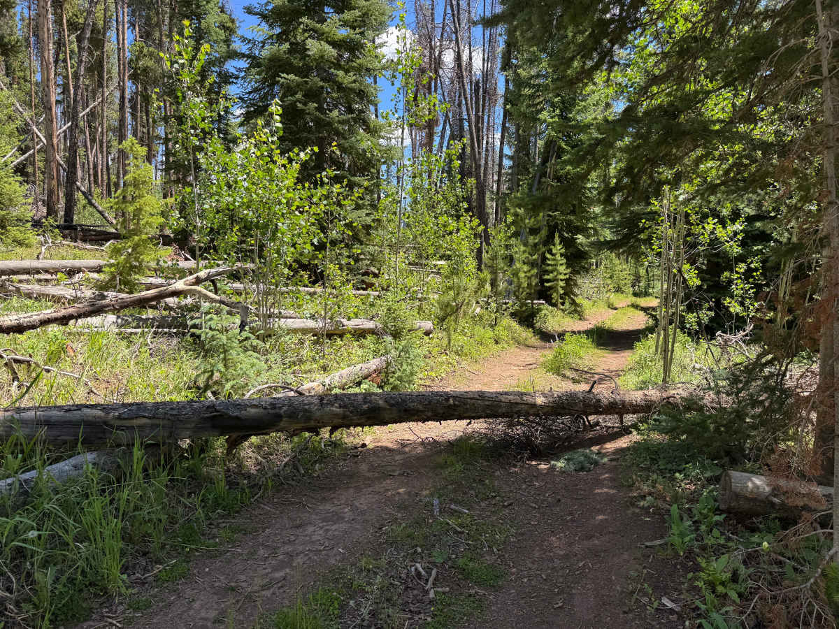
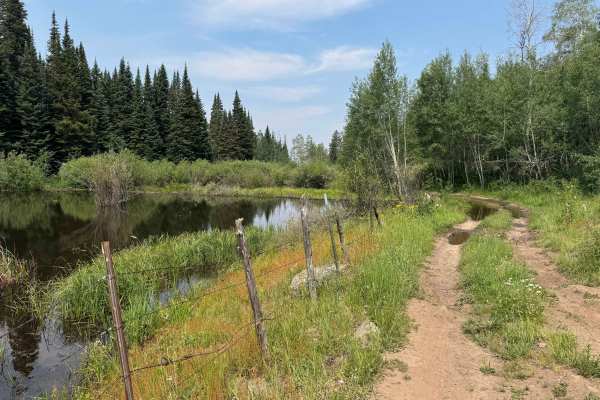
Although this trail is legally open to all motorized vehicles, it is best suited for high-clearance 4WD vehicles and experienced drivers. Full-size trucks will find many sections extremely tight and difficult to navigate, and even dirt bikes should be ridden by experienced riders. This route was mapped on a 2WD dirt bike, demonstrating that it is possible, but not without significant skill and determination. Deadfall is a constant challenge, and even though the trail is cleared periodically, new trees can fall at any time, making it wise to carry a chainsaw if your goal is to reach the end of the route. Before committing to any of the steep descents or technical rock gardens, take the time to stop, walk the obstacle, and ensure you are comfortable with the return climb, as every challenge must be tackled again on the way out. These observations assume normal dry conditions; during extended periods of rain or snowmelt, sections of the trail can become extremely wet and may resemble a flowing creek, significantly increasing the difficulty.