East Brush Creek Road

Total Miles1.6
Technical Rating
1Easy
Best TimeSpring, Summer, Fall
Trail TypeFull-Width Road
Accessible By
Open Trail Map

Trail Overview

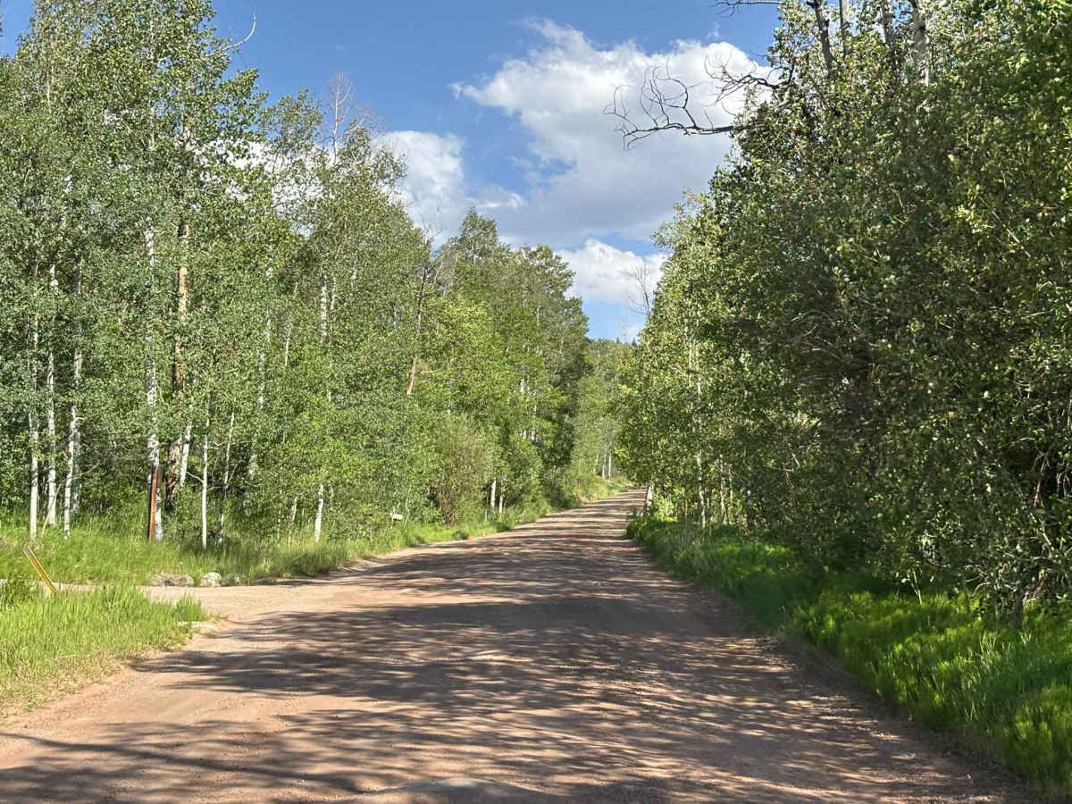
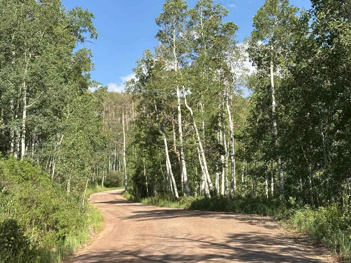
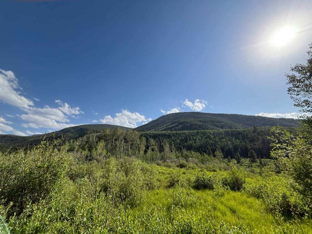
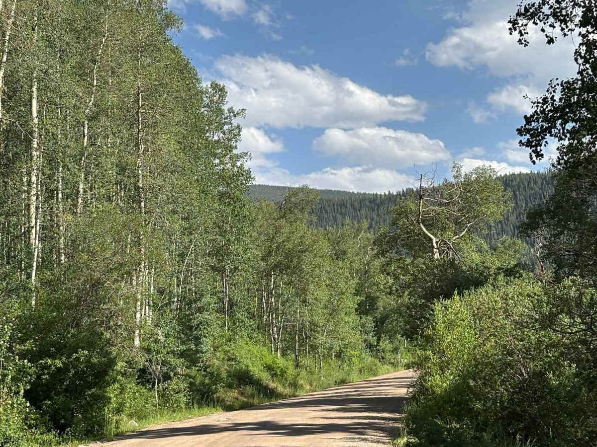
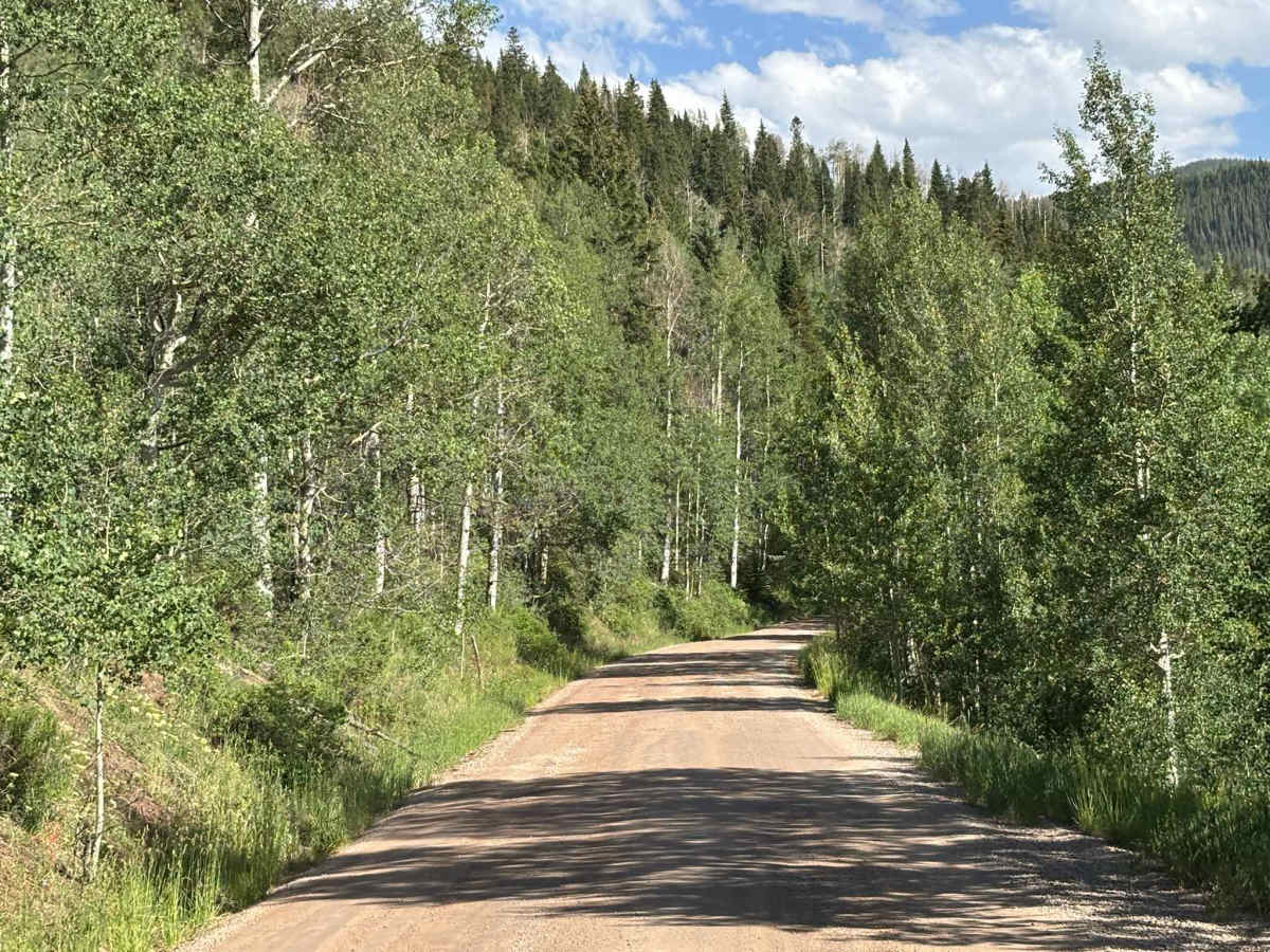
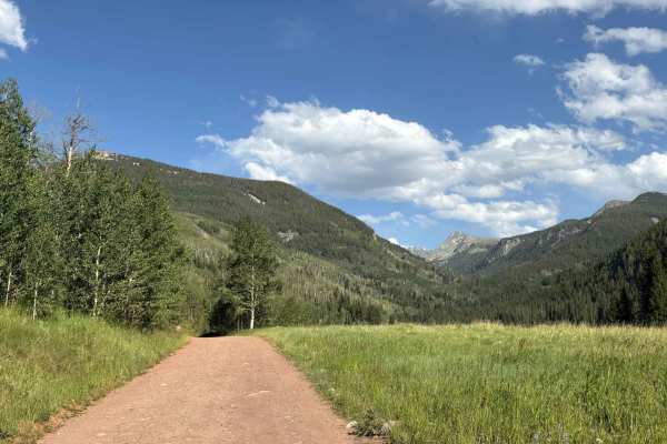
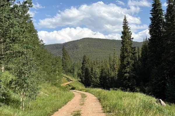
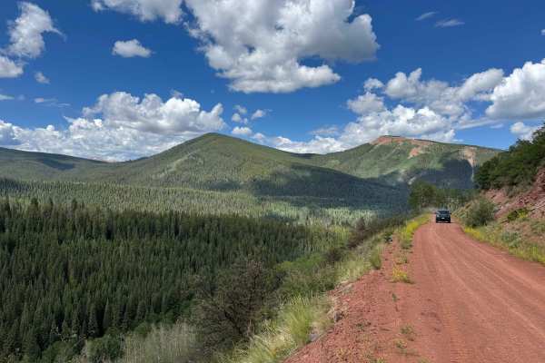
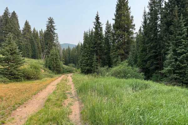
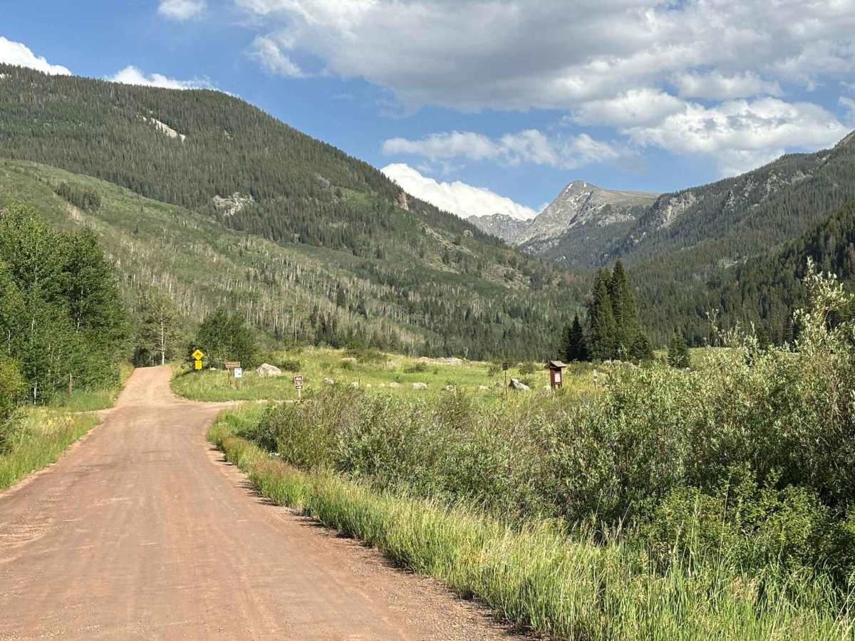
This route leads from Eagle into the network of roads and trails surrounding Sylvan Lake State Park. Serving as a primary access corridor to the area, it provides connections to the historic mining town of Fulford as well as the extensive backcountry trail system west of the Holy Cross Wilderness. The route travels through scenic mountain terrain with views of forested hillsides, open meadows, and rugged peaks. While not particularly challenging, it is an important gateway to a wide variety of recreational opportunities, including camping, off-roading, hiking, and exploring the region's mining history.

Photos of East Brush Creek Road

Difficulty

Simple country road

Technical Rating

1

East Brush Creek Road Trail can be accessed by the following ride types:

  • Single Track
  • 50 Inch
  • 60 Inch
  • High Clearance
  • Full Width

East Brush Creek Road Map

The onX Offroad Difference

onX Offroad combines trail photos, descriptions, difficulty ratings, width restrictions, seasonality, and more in a user-friendly interface. Available on all devices, with offline access and full compatibility with CarPlay and Android Auto. Discover what you're missing today!

Open Trail Map