Trail Overview
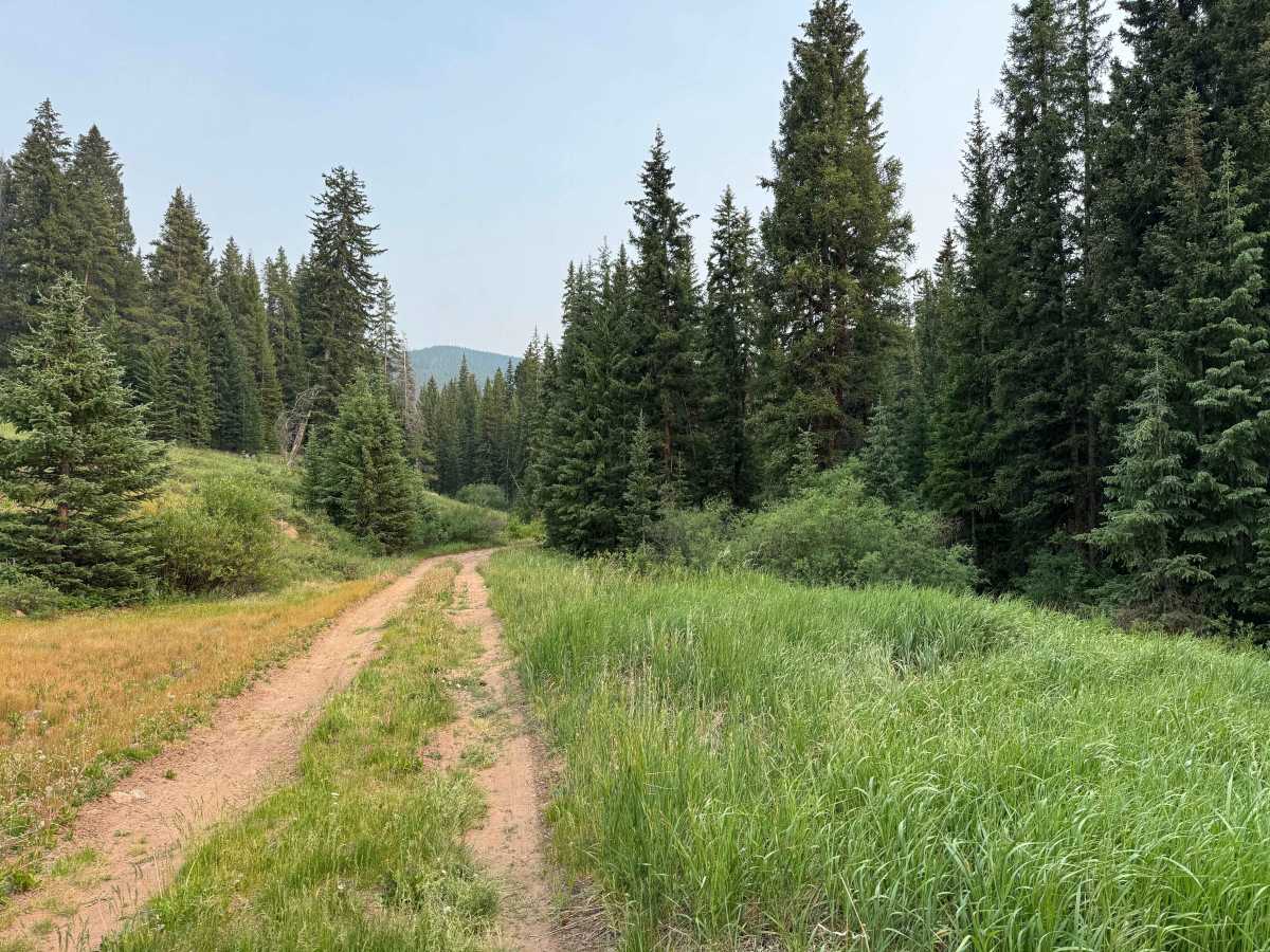
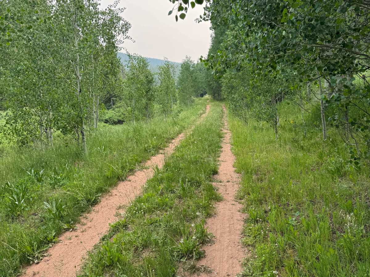
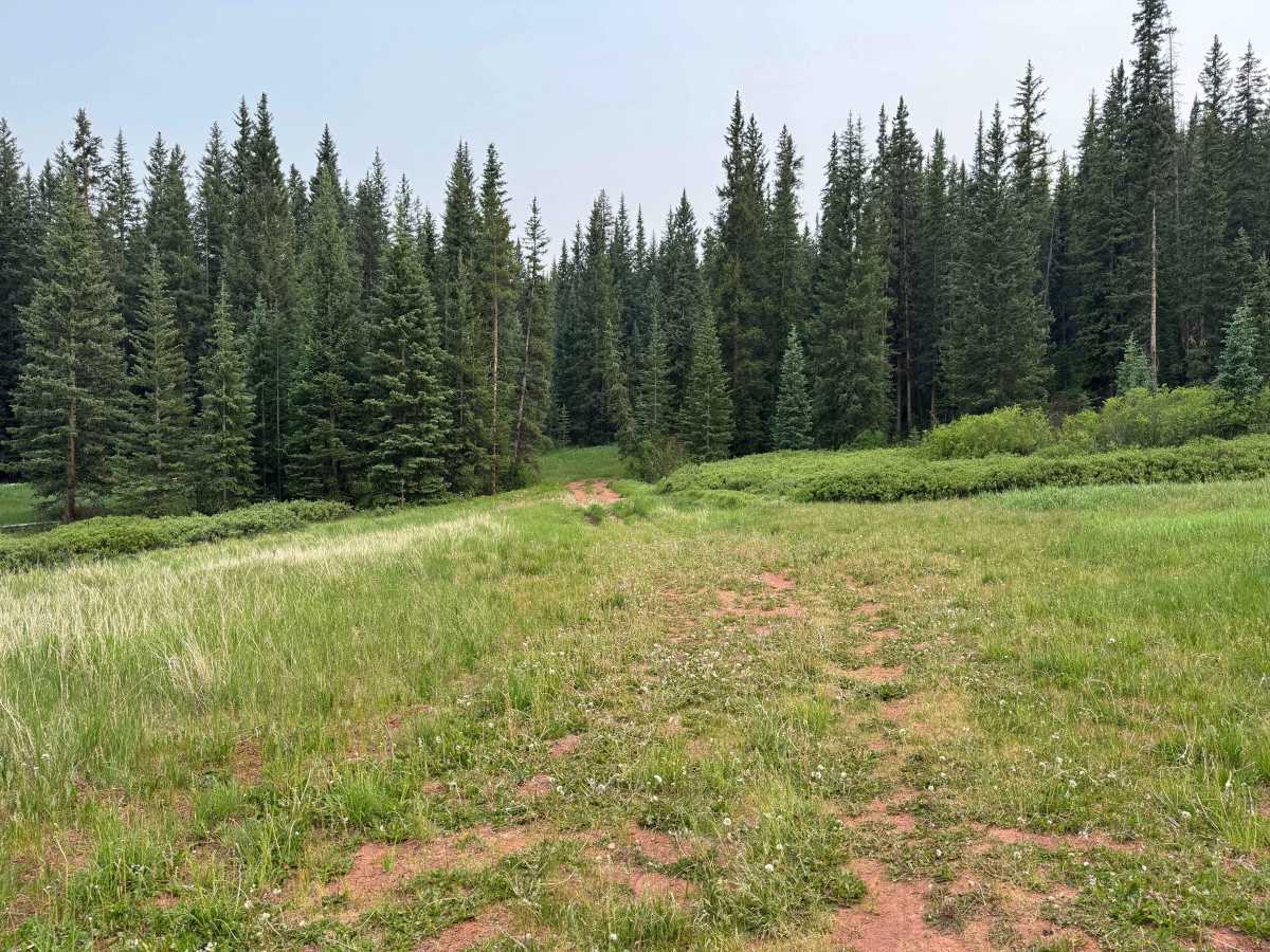
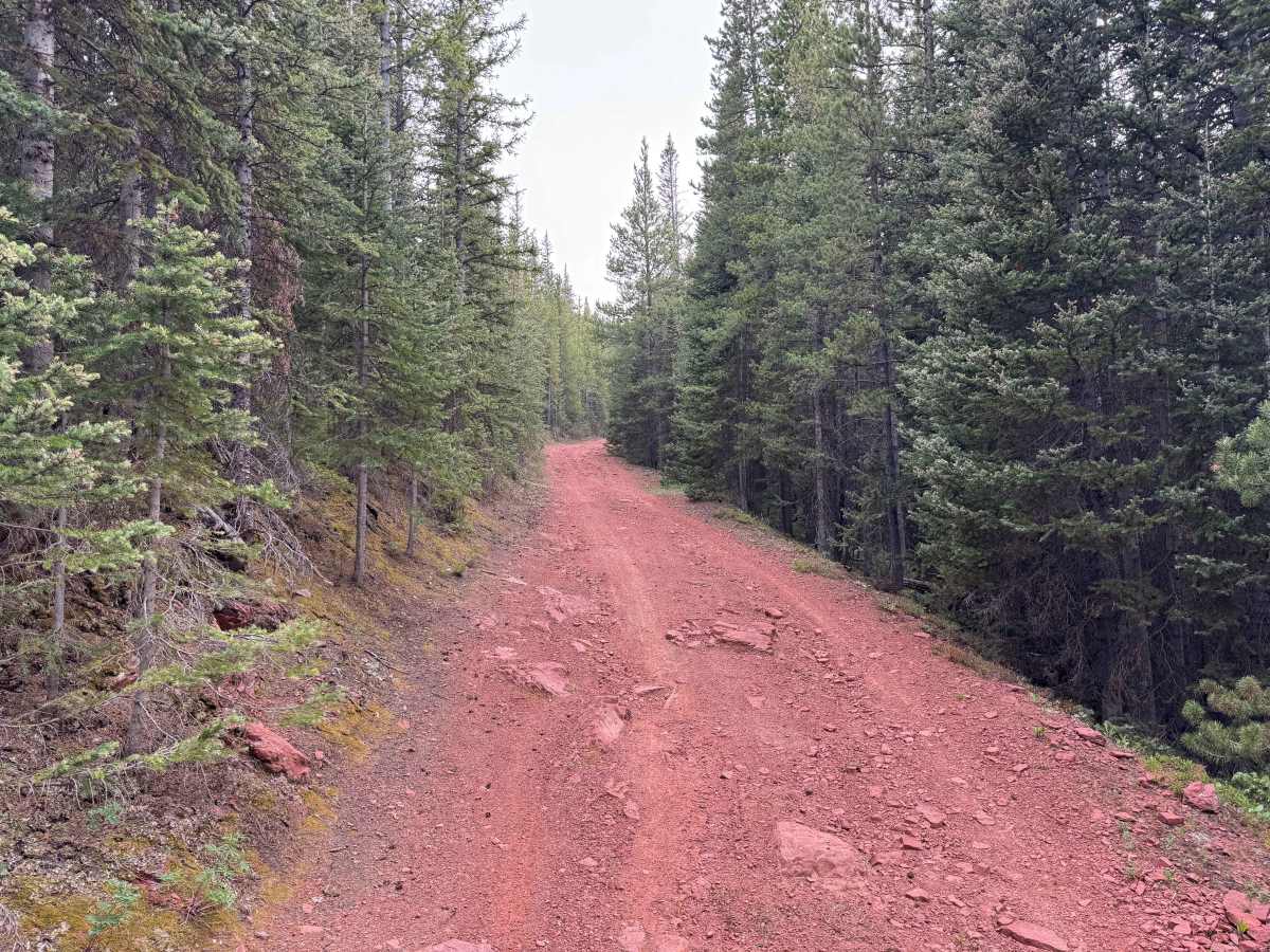
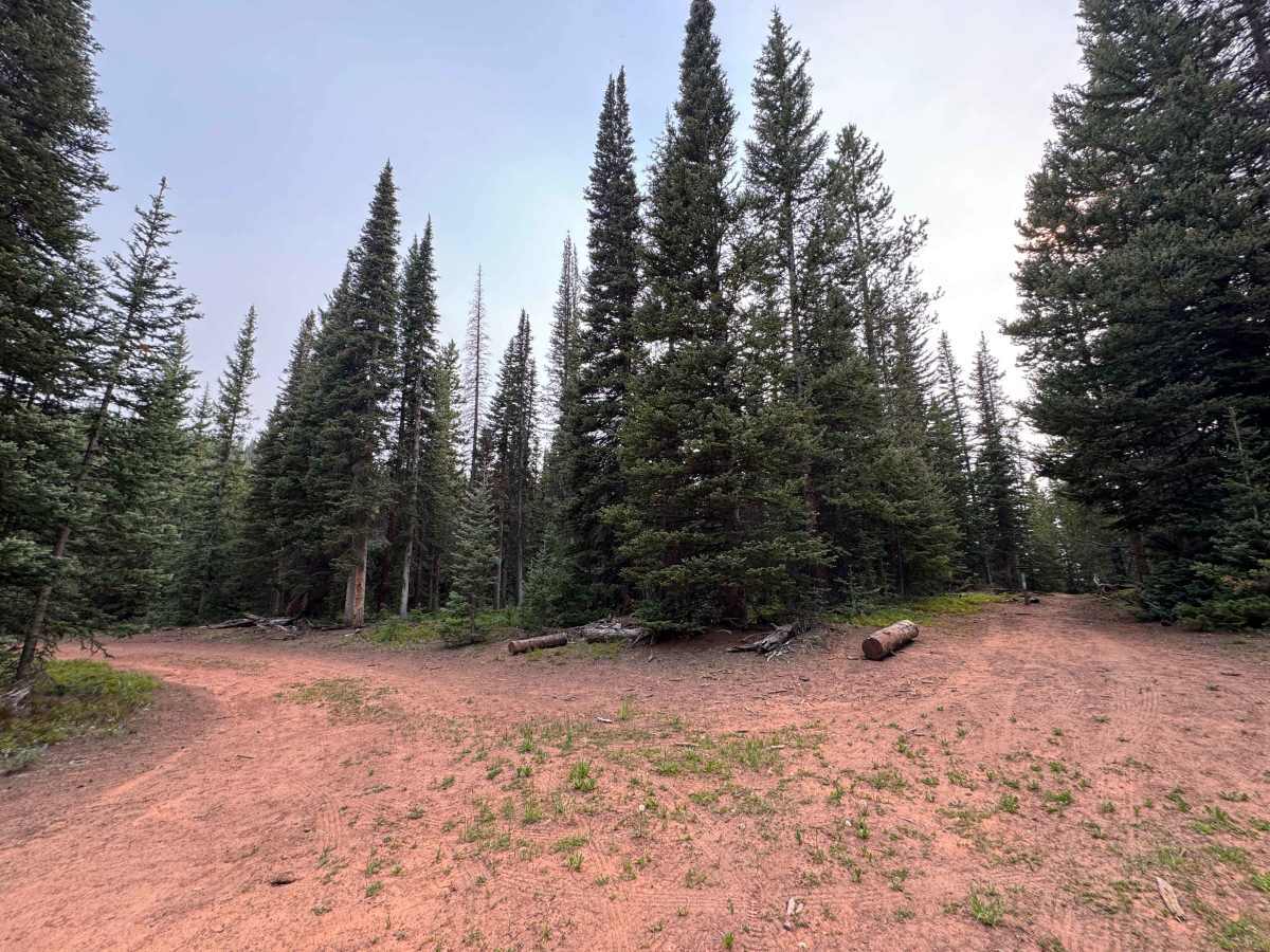
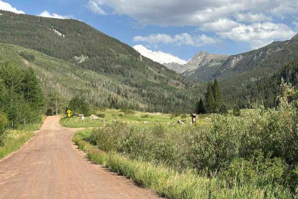
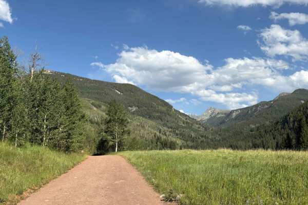
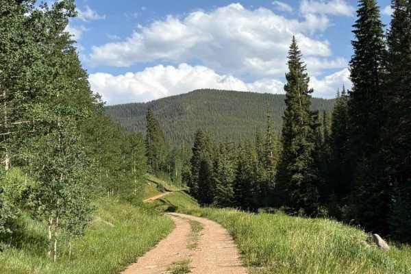
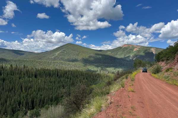
This out-and-back route begins near Yeoman Park Campground, branching off from another U.S. Forest Service road that continues toward Eagle–Thomasville Road. Lightly traveled and seemingly used primarily by hunters and for firewood collection, this hidden gem is one of the most scenic trails in the region. The drive winds through dense forests and quiet mountain terrain where wildlife is abundant, with moose, deer, and numerous signs of other native animals commonly seen along the route. The trail includes a few small creek crossings and several muddy depressions that are typically dry during the season when the road is open. Although the route is not especially technical and many drivers may never need to engage 4WD, vehicles should have good ground clearance to comfortably navigate the uneven terrain. Downed trees occasionally obstruct the trail, reducing both height and width clearance, and reaching the end may require clearing fallen timber. Several excellent dispersed campsites are located along the route, including two or three spacious sites before the end and another at the trail’s terminus, making it an excellent destination for a quiet backcountry camp. Because this is active bear country, campers should properly store food and other attractants. Under normal dry conditions, this scenic trail presents few challenges and offers a relaxing backcountry drive through some of the area’s most beautiful mountain landscapes.
Difficulty
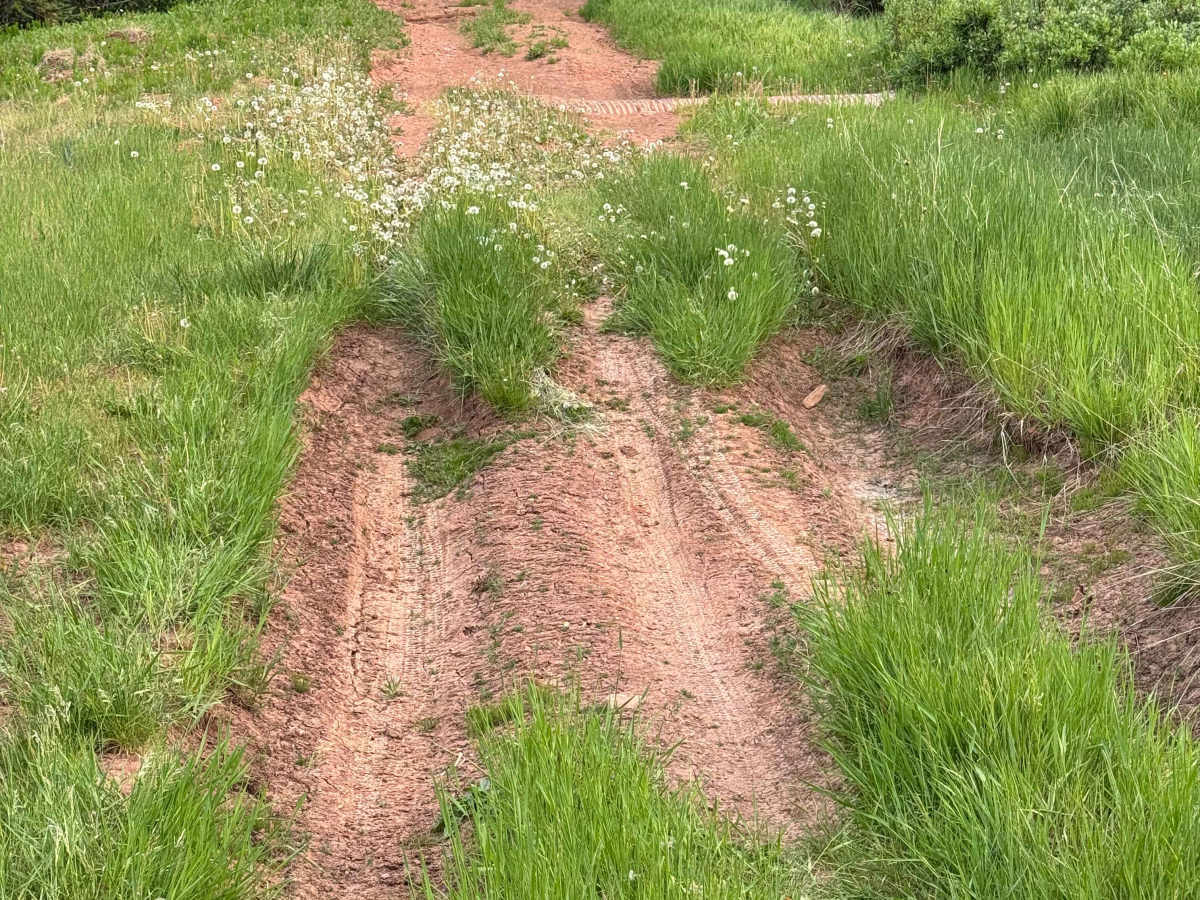
This is an easy route that presents few technical challenges under normal dry conditions. While most drivers may never need to engage 4WD, it is always advisable to have it available when traveling remote backcountry roads. Good ground clearance is recommended, as the trail includes several dried mud holes, uneven sections, and the potential for shallow water crossings depending on recent weather. Aside from these minor obstacles, the route is straightforward and should be comfortably manageable for most high-clearance vehicles.

 Offroad