Trail Overview
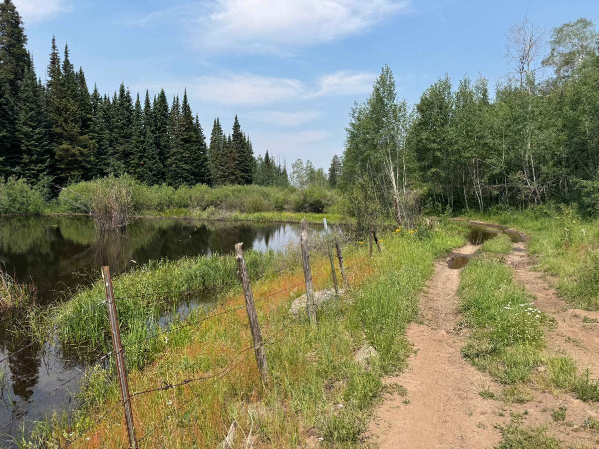
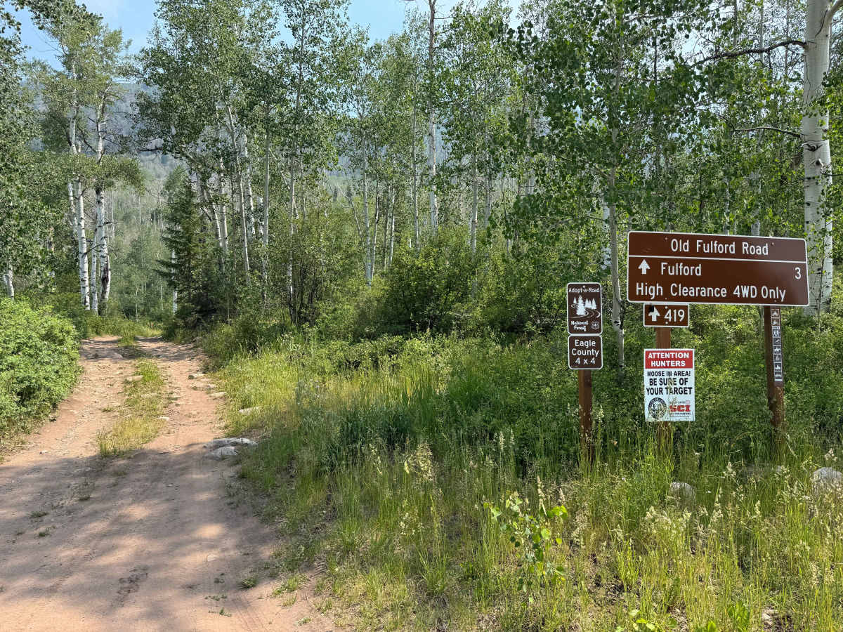
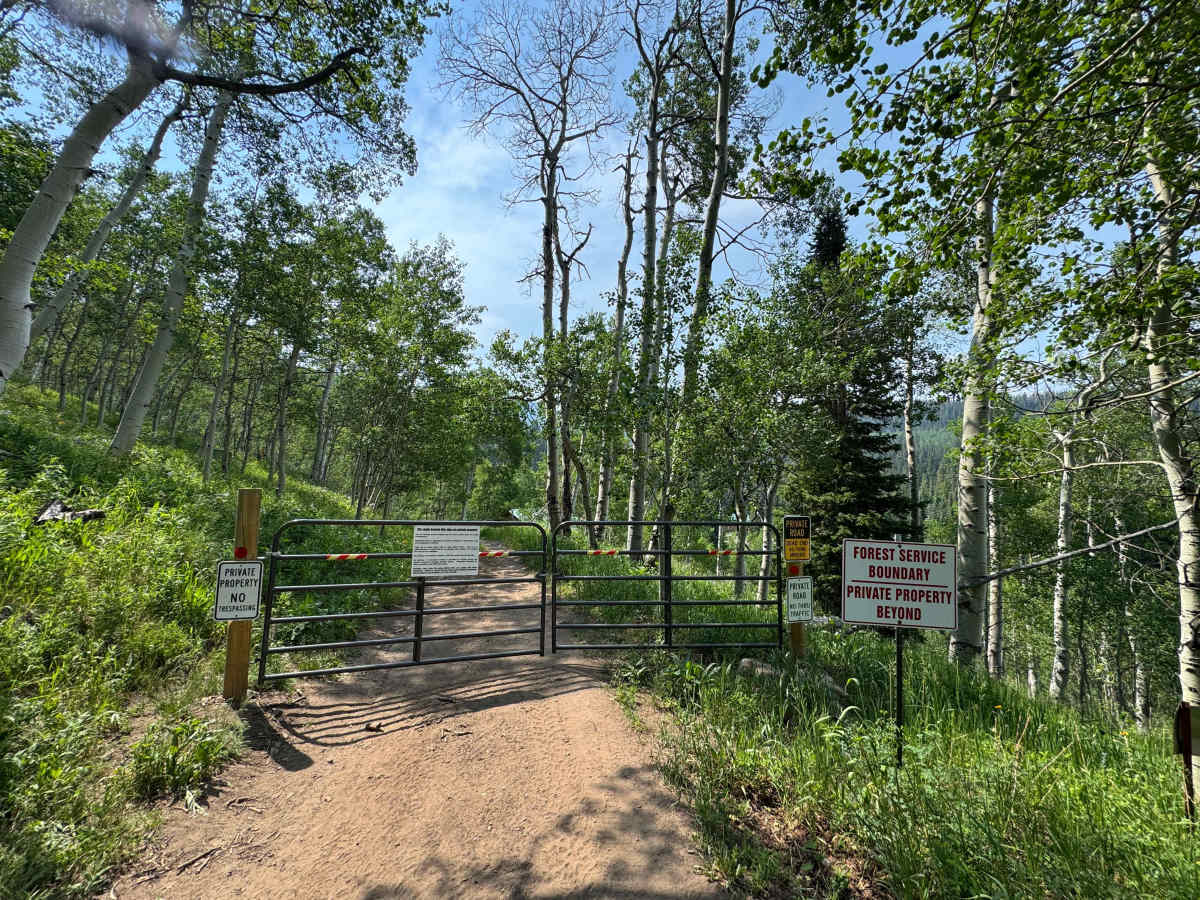
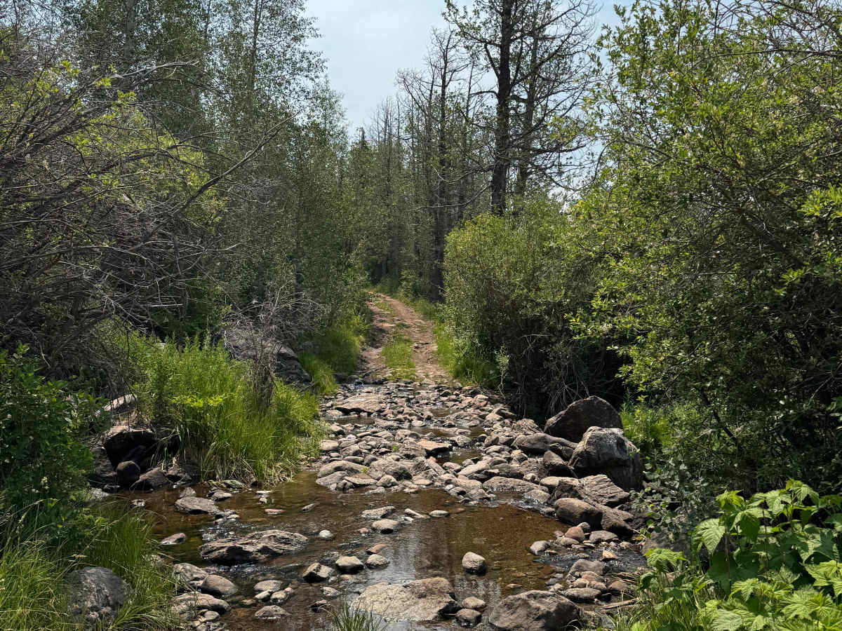
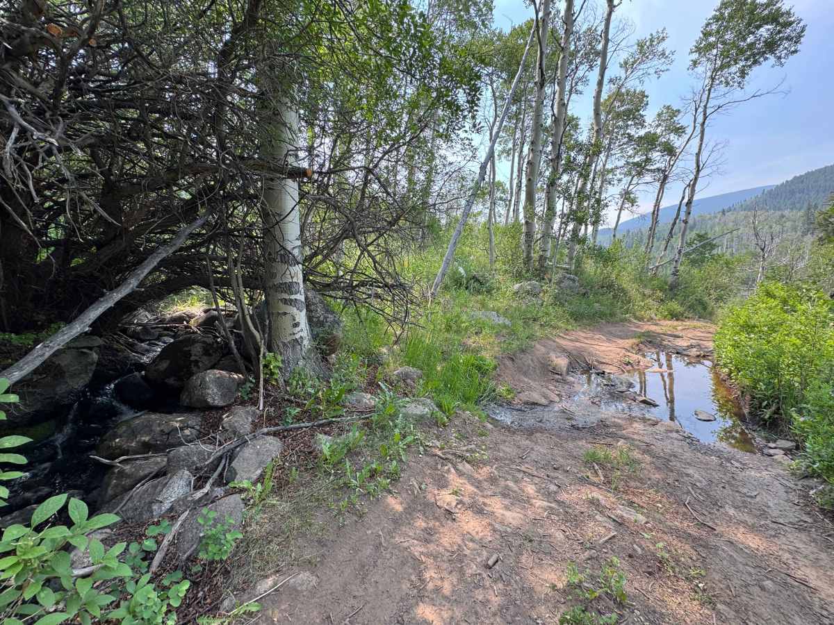
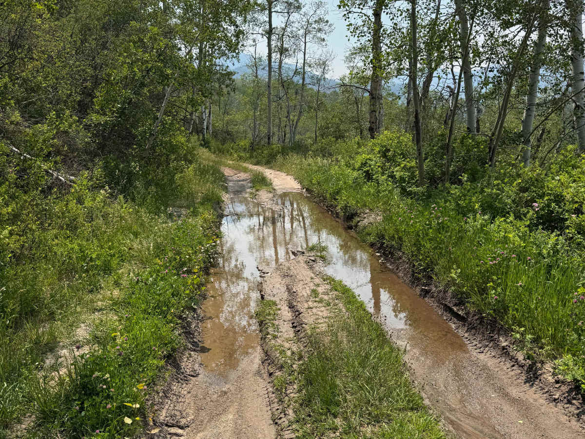
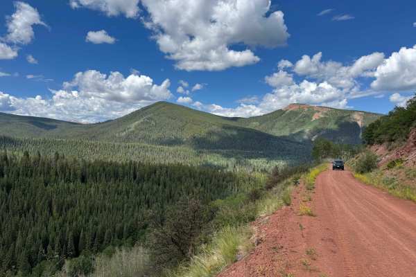
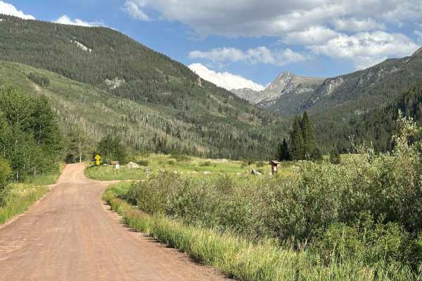
Old Fulford Road is an out-and-back route, as access through the historic town of Fulford is blocked by gated closures, no-through-traffic notices, and private property restrictions at both ends. Despite the lack of a through connection, this trail delivers an outstanding backcountry experience, offering a little bit of everything without being overly difficult. The route features multiple creek crossings that are typically less than a foot deep during dry conditions, along with a mix of smooth stretches, scattered rock gardens, and several longer sections of larger, chunky rocks that can make for a rough ride. Airing down tires is highly recommended for comfort and traction. One notable obstacle consists of a rocky ledge estimated to be as much as 18 inches high, requiring high-clearance 4WD vehicles and careful tire placement. Wildlife is abundant throughout the area, including local moose families that are frequently spotted along the route. Drivers should also be aware of active beaver populations, as their dams occasionally flood portions of the road. Although the trail officially ends at the Fulford gate, several side routes continue higher into the surrounding mountains and may provide access to the opposite side of town, though those connections have not been verified.
Difficulty
While not an especially difficult trail, this route presents a variety of obstacles that make preparation important. Drivers should have adequate ground clearance, the ability to air down tires for improved traction and ride comfort, and the tools and knowledge necessary to repair a flat tire in a remote setting. Several creek crossings are encountered along the route and are typically less than a foot deep during dry conditions, but water levels can rise significantly after storms or in areas affected by active beaver dams, which are known to periodically flood sections of the road. Approximately one-third of the way along the trail, a short rocky obstacle with a modest ledge requires careful tire placement. Skilled drivers in stock 4WD vehicles can generally navigate this section without issue, though higher-clearance vehicles will have a distinct advantage. Beyond this obstacle, the trail remains relatively straightforward and, in normal conditions, offers an enjoyable low-range crawl through a scenic backcountry setting.
History
Fulford began as a small mining camp in the late 1880s after gold discoveries high in the Brush Creek Valley near present-day Sylvan Lake State Park. Originally known as Nolan’s Camp, the settlement grew into a bustling mining town with a post office, stores, boarding houses, and several hundred residents during Colorado’s mining boom. Like many mountain mining communities, Fulford declined as ore production faded, and by the early 1900s, most residents had moved on. Today, only a handful of historic structures remain, giving Fulford the character of a partially preserved ghost town. Visitors can still see traces of its mining past while exploring the scenic forests, mountain valleys, and nearby Fulford Cave that helped shape the area’s history.