South Fork Piney - FS 701

Total Miles4.1
Technical Rating
2Easy
Best TimeSummer, Fall
Trail TypeFull-Width Road
Accessible By
Open Trail Map

Trail Overview

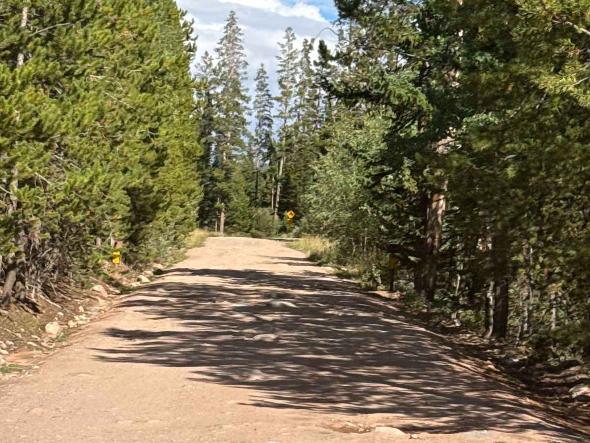
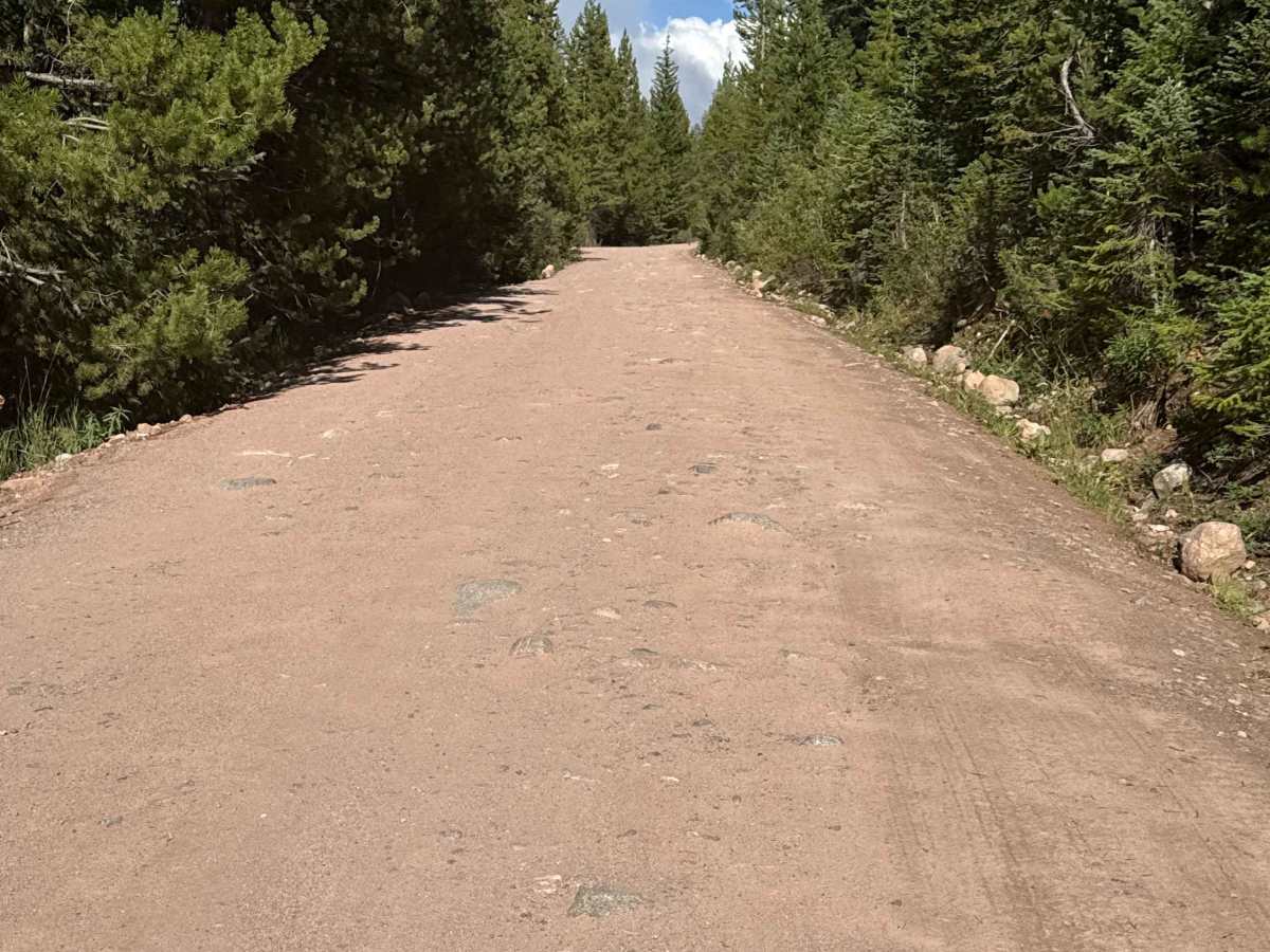
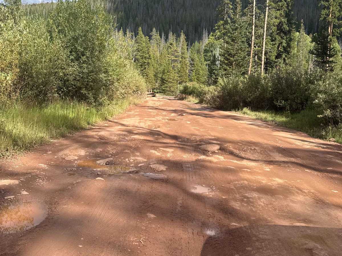
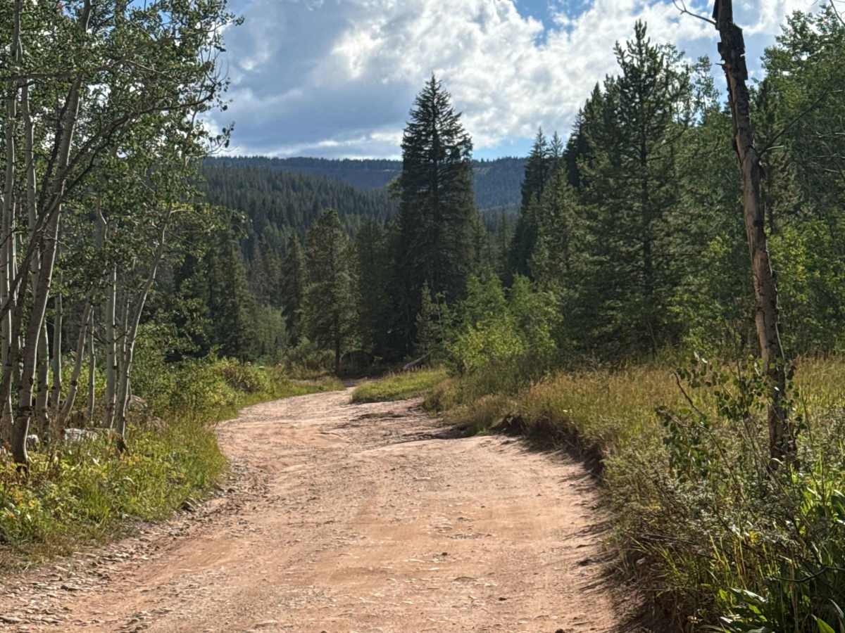
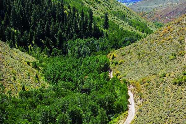
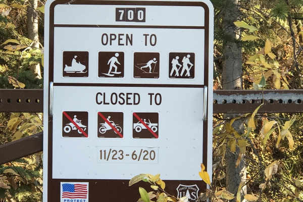
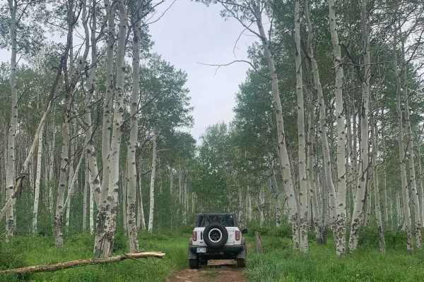
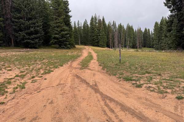
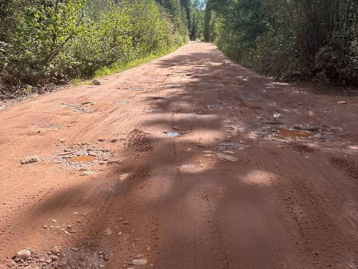
This historic trail is a hard packed dirt trail, plentiful with small boulders, mud holes and washboard surfaces. The trail is wide enough for vehicles to pass and offers many camp sites along the route ending at Piney River Ranch. The route is typically open June 21 til November 22, check with White River National Forest, Holy Cross Ranger District for more information on conditions.

Photos of South Fork Piney - FS 701

Difficulty

The route is typically wide enough for opposite direction vehicles to pass without concern. There are multiple wash board sections and rock/boulder obstacles requiring careful tire placement for stock vehicles. Numerous mud holes across the width of the road are common.

History

This trail and general area is very historic with roots back to explorer and Civil War Veteran Major John Wesley Powell. Major Powell is said to have climbed the highest peak in the nearby Gore Range (Mount Powell). In the decades that followed, the area was utilized for trading, cattle ranching, outfitter base and recreation.

Technical Rating

2

South Fork Piney - FS 701 Trail can be accessed by the following ride types:

  • Single Track
  • 50 Inch
  • 60 Inch
  • High Clearance
  • Full Width

South Fork Piney - FS 701 Map

The onX Offroad Difference

onX Offroad combines trail photos, descriptions, difficulty ratings, width restrictions, seasonality, and more in a user-friendly interface. Available on all devices, with offline access and full compatibility with CarPlay and Android Auto. Discover what you're missing today!

Open Trail Map