
Beginner Off-Road Trails
Near Thorp, Wisconsin
Explore All Beginner Trails Near Thorp, Wisconsin
Beginner Off-Road Trails Near Thorp, Wisconsin
Discover the best beginner-friendly off-road trails near you. These easier, lower-rated trails are a great place to start — browse trail maps, check difficulty ratings, and find your next adventure.
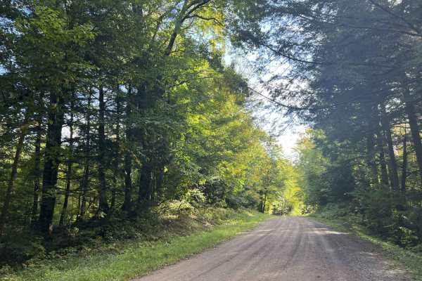
FS 554
FS 554 runs from its intersection with FS 119 to FS 118. This trail is just under two lanes wide and is a moderately maintained gravel trail. The surface is hard-packed and smooth with few potholes, as well as washboard sections. Washouts on the trail are infrequent or rarely happen, but there is al...
Learn more about FS 554
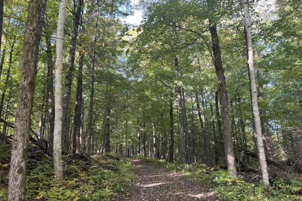
FS 554D
FS 554D is the short loop trail that is used to access over a dozen dispersed camping sites. This trail begins and ends at its intersection with Forest Road 554. This two-track dirt trail navigates through a hilly section of forest surrounded by dispersed camping sites. The sites are large enough fo...
Learn more about FS 554D
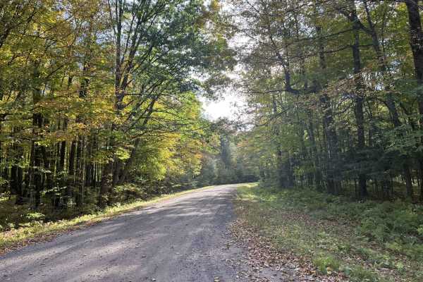
Sawyer Avenue - FS 118
Sawyer Avenue - FS 118 is a scenic gravel two-lane trail that runs from Grover Drive to Perkinstown Avenue - FS 116. This gravel trail is wide enough for two vehicles for its entire length. The surface is smooth with few potholes or washboard sections. Sight lines are excellent across the entire len...
Learn more about Sawyer Avenue - FS 118

FS 553
FS 553 is a gravel forest road that travels from its intersection with Sawyer Ave, Forest Road 118, to its intersection with FS117. This gravel forest road is just under two lanes wide throughout. This trail features gentle rolling hills and flowing, sweeping corners. The ditch lines are similar to ...
Learn more about FS 553

Sailor Creek Road - FS 571
Sailor Creek Road - FS 571 is a two-lane gravel forest road that runs from its intersection with County Rd M to Lost Lake Road. This trail is wide and well-maintained, with a firm, smooth surface. The trail has little to no obsticles on the trail and is well suited to a gentle cruise enjoying the su...
Learn more about Sailor Creek Road - FS 571

FS 571B
FS 571B is an out-and-back two-track trail that starts and ends at its intersection with FS 571. This rugged dirt trail is surrounded by dense forest, with a thick forest canopy closing the trail off from a good majority of any sunlight. Undergrowth on this trail is limited and sparse thanks to the ...
Learn more about FS 571B
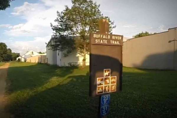
BRST: Fairchild to Osseo
BRST: Fairchild to Osseo is a 13.5-mile point-to-point trail rated 2 of 10 and runs through Eau Claire, Jackson, and Trempealeau counties. The trail consists of a combination of railroad ballast and limestone screenings that is fairly smooth and hard-packed and provides scenic views of surrounding f...
Learn more about BRST: Fairchild to Osseo

FS 568
FS 568 is a two-track trail that runs from FS 108 to FS 333. This two-track trail has a gravel/ dirt base and is one of the few point-to-point two-track trails, as well as one of the longer two-track trails in this portion of the national forest. This trail is a good mix of gentle rolling hills in c...
Learn more about FS 568
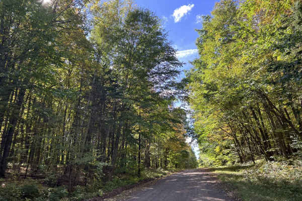
FS 104
FS 104 runs from its intersection with Park Road - FS 106, to its intersection with Forest Road 102. This two-lane gravel trail runs along the edge of the Mondeaux Flowage. Views of the flowage are limited due to the thick forest that surrounds this area as well as the hill side which the trail navi...
Learn more about FS 104
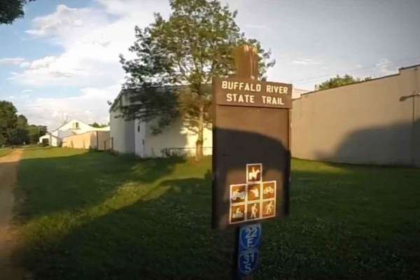
BRST: Osseo to Sturm
BRST: Osseo to Sturm is an 8.5-mile point-to-point trail rated 2 of 10 located in Trempealeau County. The trail consists of a combination of railroad ballast and limestone screenings that is fairly smooth and hard-packed and provides scenic views of surrounding farms, making it a good choice for nov...
Learn more about BRST: Osseo to Sturm
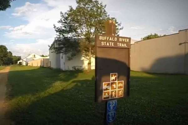
BRST: Sturm to Eleva
BRST: Sturm to Eleva is a 4.3-mile point-to-point trail rated 2 of 10 located in Trempealeau County. The trail consists of a combination of railroad ballast and limestone screenings that is fairly smooth and hard-packed and provides scenic views of surrounding farms, making it a good choice for novi...
Learn more about BRST: Sturm to Eleva
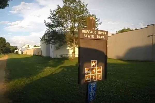
BRST: Eleva to Mondovi
BRST: Eleva to Mondovi is a 9.4-mile point-to-point trail rated 2 of 10 and runs through Trempealeau and Buffalo counties. The trail consists of a combination of railroad ballast and limestone screenings that is fairly smooth and hard-packed and provides scenic views of surrounding farms, making it ...
Learn more about BRST: Eleva to Mondovi
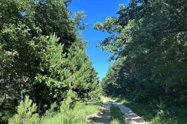
Bell Mound Trail
Bell Mound Trail is a scenic, stock-friendly forest route that winds through some of central Wisconsin’s classic pine and hardwood forests. The trail is primarily wide sandy two-track and graded forest roads with long stretches of packed sand, shallow ruts, and gentle curves. Most stock 4WD SUVs and...
Learn more about Bell Mound Trail
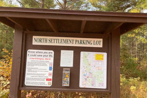
Wildcat Loop
The trail winds through wooded areas with mainly gravel and rocks and a mix of sand, offering a mix of natural beauty and light technical terrain.
It’s ideal for a quick loop or as part of a larger off-road outing in the Black River State Forest area. Also, a nice Parking area within miles of this l...
Learn more about Wildcat Loop
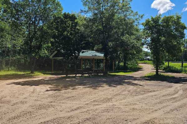
Barron to Cameron - Blueberry Trail Extension
This is an easy trail with sections of red rock gravel base. Plenty of wetter areas to keep the ride interesting, and many winding trails through the trees and edges of farmers' fields. This segment is bookended by picnic areas at Anderson Park in Barron and a pavilion just off the Red Cedar River o...
Learn more about Barron to Cameron - Blueberry Trail Extension
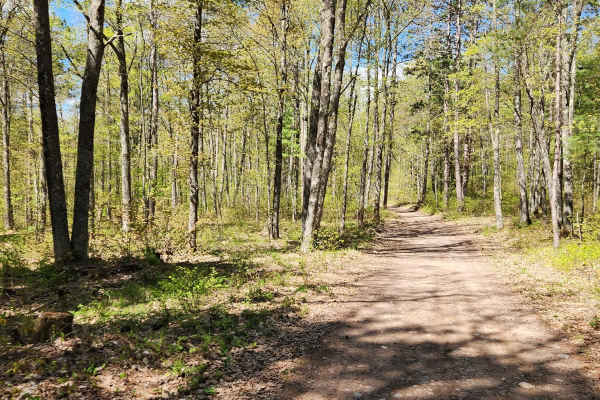
Tuscobia State Trail - Park Falls to Loretta
The Tuscobia State Trail runs a total of 74 Miles. This leg is 19 miles but connects to a massive trail system that you can jump onto at a bunch of different intersections. There are a few more stops than normal due to all of those intersections, but it is worth it if you want a day of exploring the...
Learn more about Tuscobia State Trail - Park Falls to Loretta
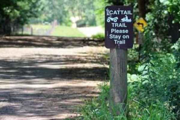
Cattail State Trail: Turtle Lake to Almena
Cattail State Trail: Turtle Lake to Almena is a 6.4-mile point-to-point trail rated 2 of 10 located in Barron County. The Turtle Lake to Almena section of the Cattail State Trail is a packed gravel rail-to-trail that has a gentle descent, losing about 75 feet over the length of the trail. Departing ...
Learn more about Cattail State Trail: Turtle Lake to Almena
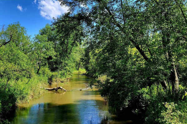
Sand Road Driftless Loop
A relaxing drive through the Driftless area north of Pepin, Wisconsin. There is nothing technical;this is a gravel county road drive with a few tar sections. You can take a hike at Five Mile Bluff Prairie State Natural Area. This trail would be extra beautiful in the fall and after a fresh snowstorm...
Learn more about Sand Road Driftless Loop
Beginner ATV trails near Thorp, Wisconsin
Explore ATV-friendly trails near you. These trails are accessible for vehicles up to 50 inches wide, perfect for ATVs and smaller off-road machines.
BRST: Fairchild to Osseo
BRST: Fairchild to Osseo is a 13.5-mile point-to-point trail rated 2 of 10 and runs through Eau Claire, Jackson, and Trempealeau counties. The trail consists of a combination of railroad ballast and limestone screenings that is fairly smooth and hard-packed and provides scenic views of surrounding f...
Learn more about BRST: Fairchild to Osseo
FS 568
FS 568 is a two-track trail that runs from FS 108 to FS 333. This two-track trail has a gravel/ dirt base and is one of the few point-to-point two-track trails, as well as one of the longer two-track trails in this portion of the national forest. This trail is a good mix of gentle rolling hills in c...
Learn more about FS 568
FS 104
FS 104 runs from its intersection with Park Road - FS 106, to its intersection with Forest Road 102. This two-lane gravel trail runs along the edge of the Mondeaux Flowage. Views of the flowage are limited due to the thick forest that surrounds this area as well as the hill side which the trail navi...
Learn more about FS 104
BRST: Osseo to Sturm
BRST: Osseo to Sturm is an 8.5-mile point-to-point trail rated 2 of 10 located in Trempealeau County. The trail consists of a combination of railroad ballast and limestone screenings that is fairly smooth and hard-packed and provides scenic views of surrounding farms, making it a good choice for nov...
Learn more about BRST: Osseo to Sturm
Beginner UTV/side-by-side trails near Thorp, Wisconsin
Find UTV and side-by-side trails near you. These trails accommodate vehicles up to 60 inches wide, ideal for UTVs, side-by-sides, and wider off-road rigs.
FS 568
FS 568 is a two-track trail that runs from FS 108 to FS 333. This two-track trail has a gravel/ dirt base and is one of the few point-to-point two-track trails, as well as one of the longer two-track trails in this portion of the national forest. This trail is a good mix of gentle rolling hills in c...
Learn more about FS 568
FS 104
FS 104 runs from its intersection with Park Road - FS 106, to its intersection with Forest Road 102. This two-lane gravel trail runs along the edge of the Mondeaux Flowage. Views of the flowage are limited due to the thick forest that surrounds this area as well as the hill side which the trail navi...
Learn more about FS 104
Wildcat Loop
The trail winds through wooded areas with mainly gravel and rocks and a mix of sand, offering a mix of natural beauty and light technical terrain.
It’s ideal for a quick loop or as part of a larger off-road outing in the Black River State Forest area. Also, a nice Parking area within miles of this l...
Learn more about Wildcat Loop
Barron to Cameron - Blueberry Trail Extension
This is an easy trail with sections of red rock gravel base. Plenty of wetter areas to keep the ride interesting, and many winding trails through the trees and edges of farmers' fields. This segment is bookended by picnic areas at Anderson Park in Barron and a pavilion just off the Red Cedar River o...
Learn more about Barron to Cameron - Blueberry Trail Extension
The onX Offroad Difference
onX Offroad combines trail photos, descriptions, difficulty ratings, width restrictions, seasonality, and more in a user-friendly interface. Available on all devices, with offline access and full compatibility with CarPlay and Android Auto. Discover what you're missing today!
Open Trail Map