Trail Overview
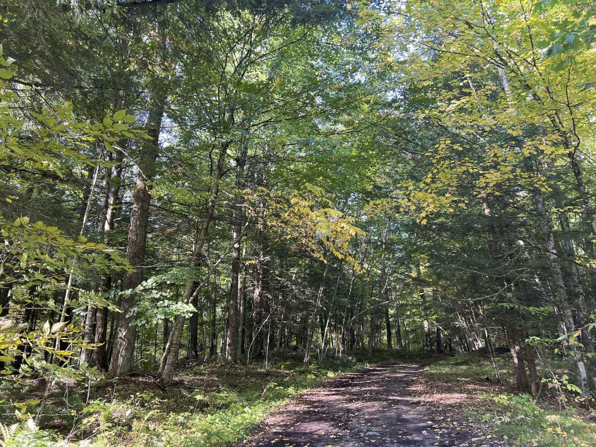
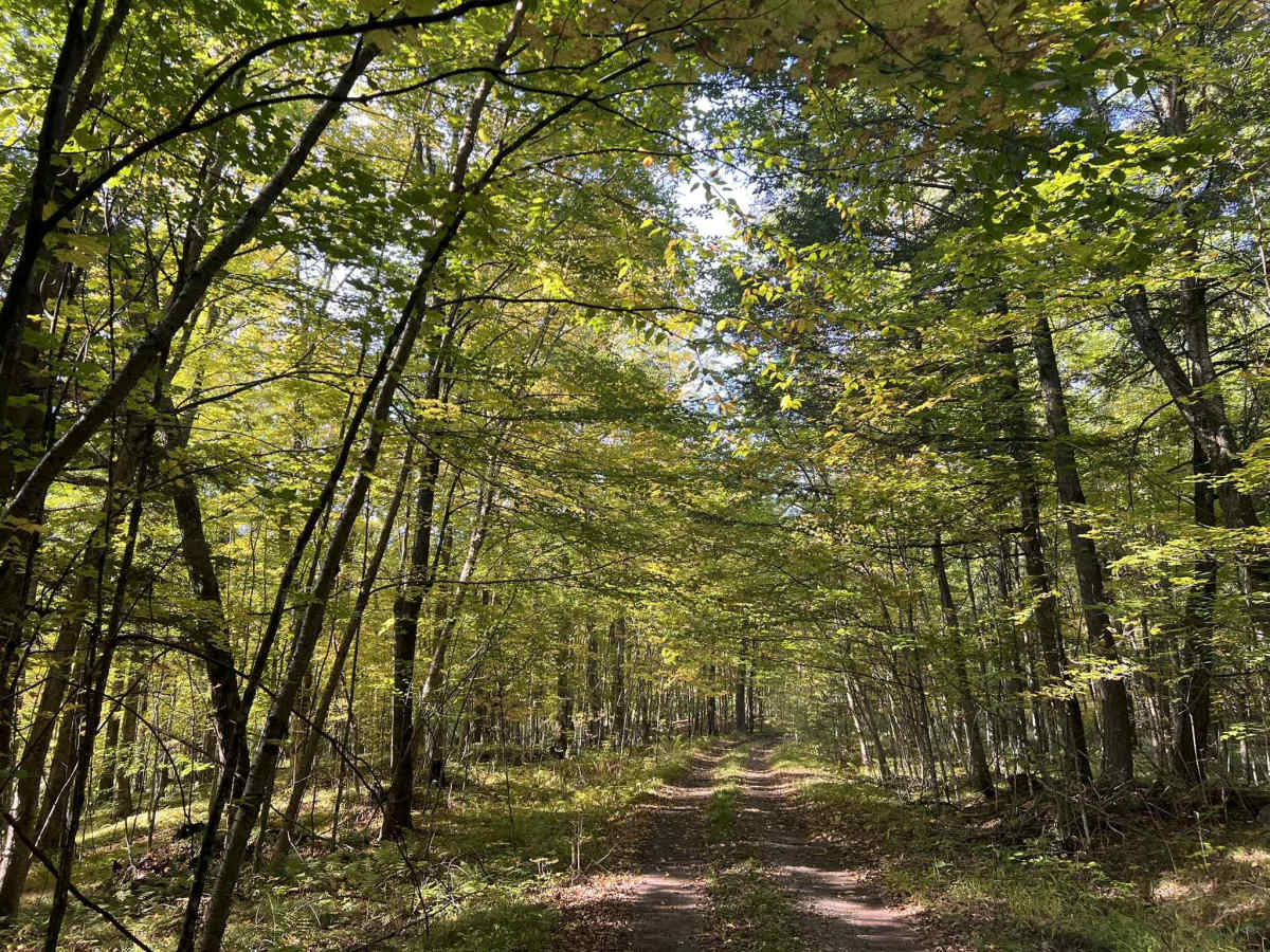
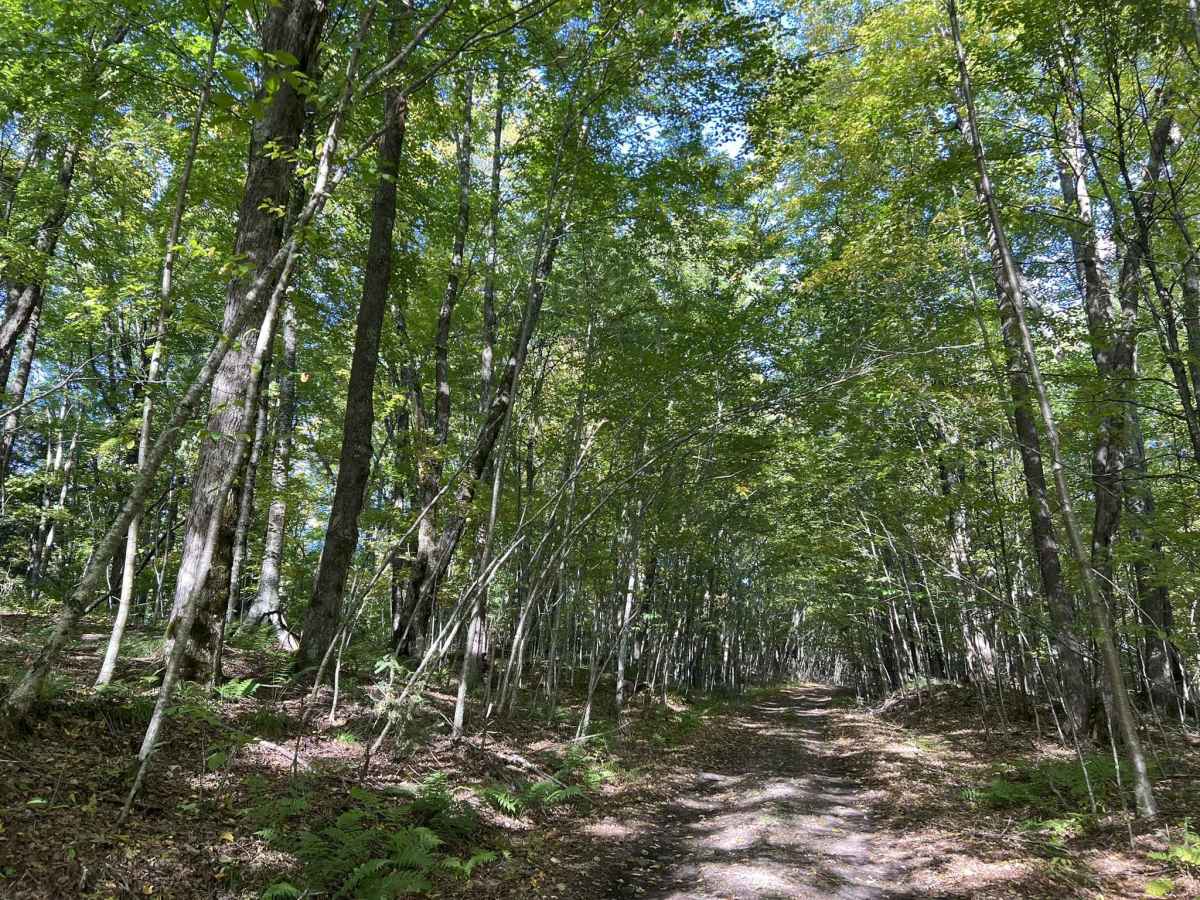
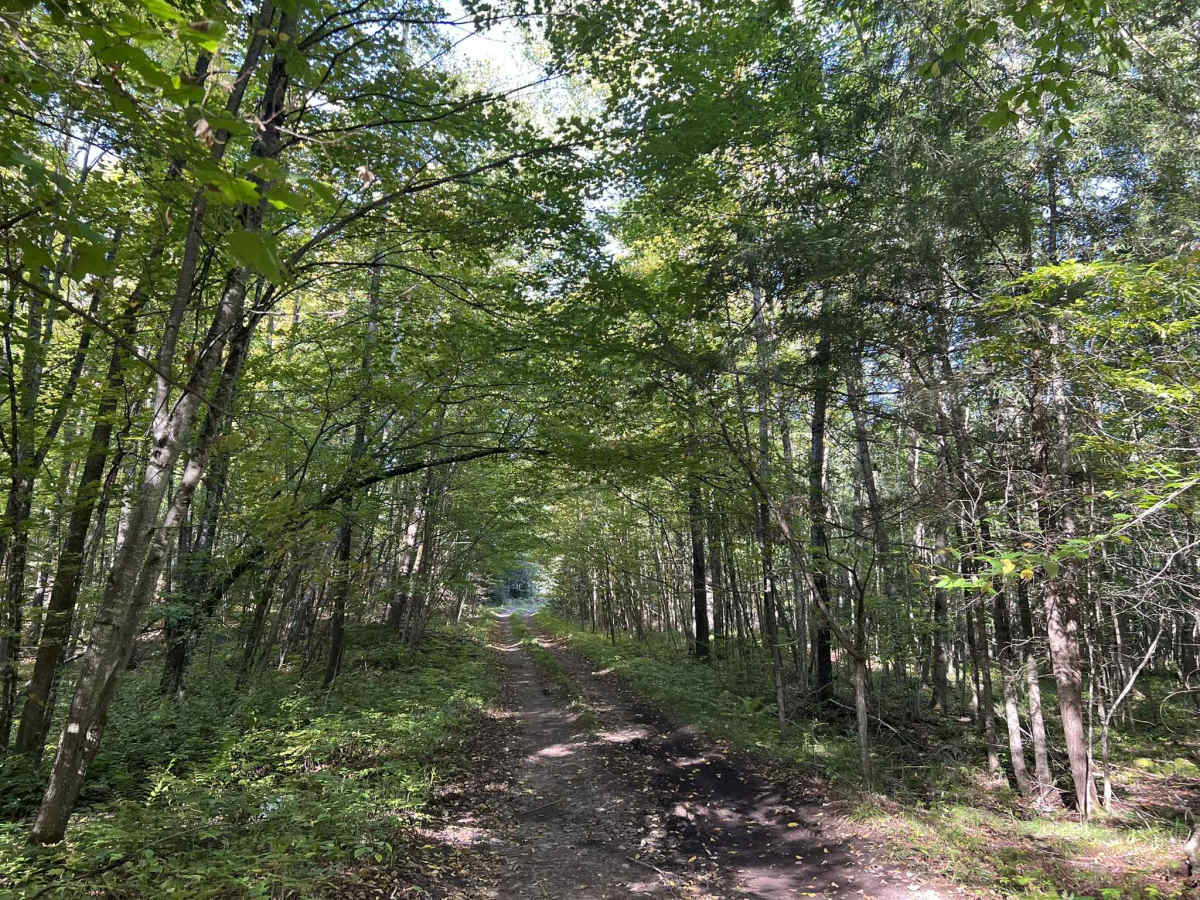
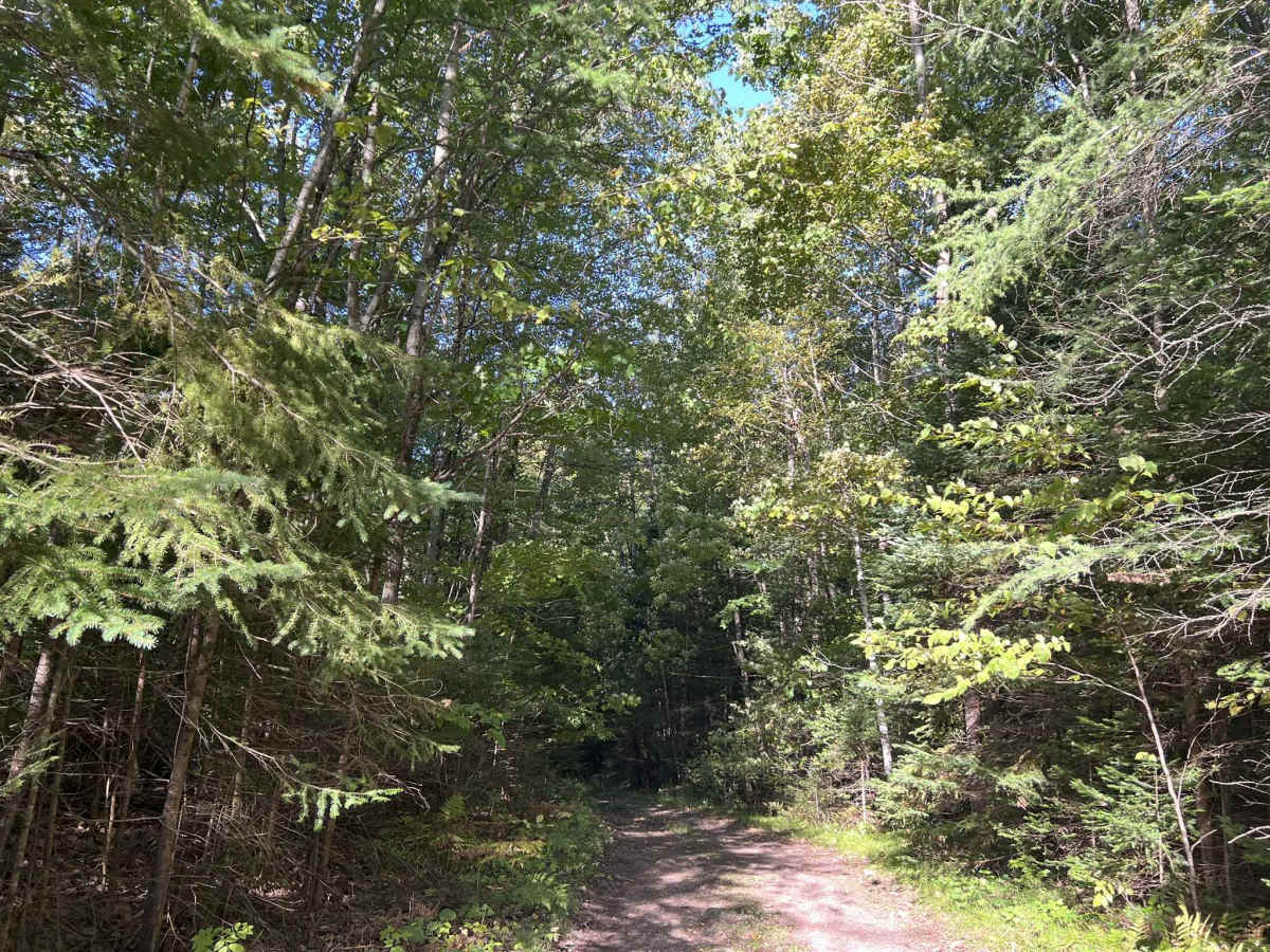
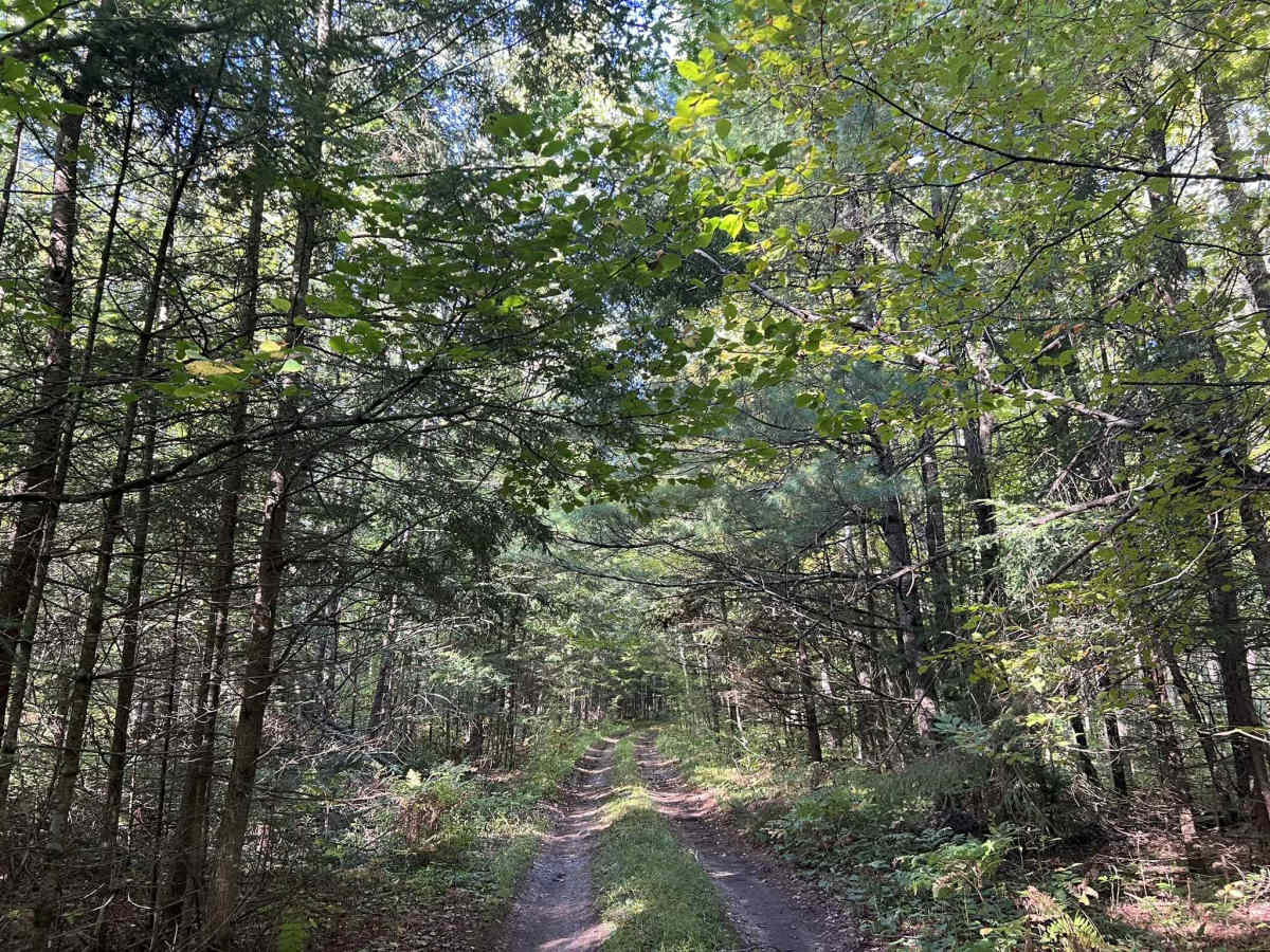
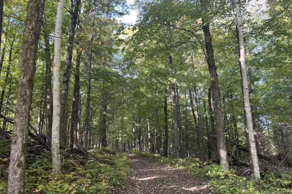
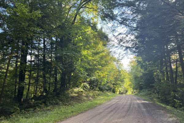
FS 571B is an out-and-back two-track trail that starts and ends at its intersection with FS 571. This rugged dirt trail is surrounded by dense forest, with a thick forest canopy closing the trail off from a good majority of any sunlight. Undergrowth on this trail is limited and sparse thanks to the heavy tree cover. This leads to very good sight lines for a two-track trail. The trail ends at a small grassy clearing that can be used for a turnaround, or would make a perfect dispersed camping location for one vehicle. The trail's surface is hard-packed dirt with a couple of soft spots located throughout. There are several hillsides the trail traverses up and down, as well as along the side. The surface is hard enough that it resists erosion well, so the chance of washouts is very limited. Passing of vehicles will require both vehicles to pull to the edge of the trail or reverse to a clearing. This trail can be completed in 2-wheel drive and would make a perfect two-track for less capable vehicles. Cell service in this area is generally acceptable, and traveling with downloaded maps is not required.
Difficulty
This is a gentle, rolling dirt two-track. Sight lines are good to great, with few or no obstacles. Being a forest road, there is always the potential for small branches to be on the trail or for washouts due to heavy rainfall. There are a couple of low spots on the trail that could develop into slick mud if given enough rain.