Trail Overview
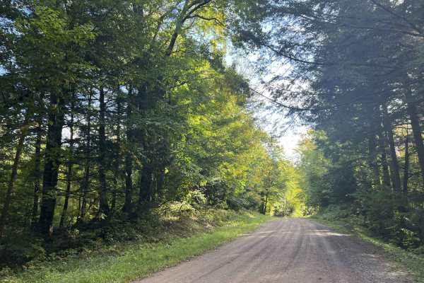
Sailor Creek Road - FS 571 is a two-lane gravel forest road that runs from its intersection with County Rd M to Lost Lake Road. This trail is wide and well-maintained, with a firm, smooth surface. The trail has little to no obsticles on the trail and is well suited to a gentle cruise enjoying the surrounding scenery, or perfect for larger, less capable rigs looking to get out into the forest. Gentle rolling hills combined with flowing corners allow for a great overall driving experience.
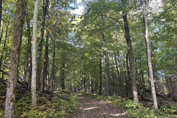
The scenery around the trail is dominated by rolling hills and steep drop-offs. The foliage is made up of a wide variety of hardwoods, with the occasional pine spread throughout. This leads to fantastic color viewing potential at the peak of fall. Undergrowth throughout the forest is limited to ferns and other small plants, helping to promote excellent sightlines into the forest. Cell service in this area is generally good, and traveling with downloaded maps is not needed.
Difficulty
This is a gentle, rolling gravel trail wide enough for two vehicles for the entire length. Sight lines are good to great, with few or no obstacles on the trail. Being a forest road, there is always the potential for small branches to be on the trail or for washouts due to heavy rainfall. Ditch lines on this trail are steep and often do not exist.