Trail Overview
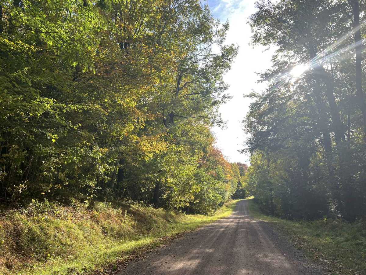
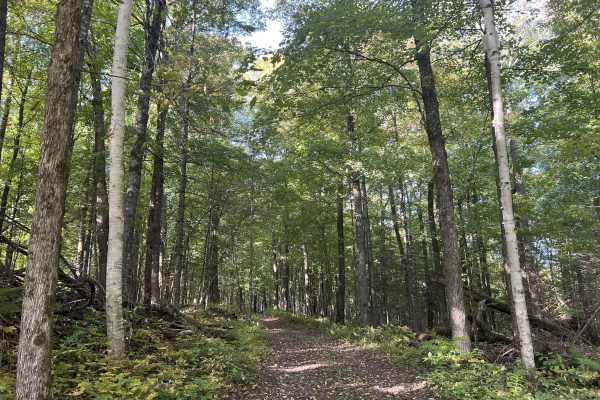
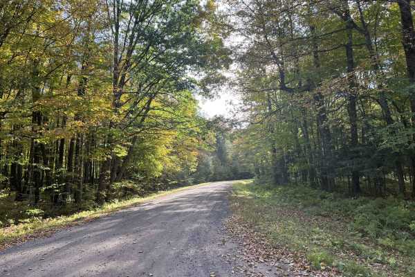
FS 554 runs from its intersection with FS 119 to FS 118. This trail is just under two lanes wide and is a moderately maintained gravel trail. The surface is hard-packed and smooth with few potholes, as well as washboard sections. Washouts on the trail are infrequent or rarely happen, but there is always the possibility. The edge of the trail is loose gravel, which can push if corners have to much speed carried through them. The ditch lines are steep and often nonexistent. Vehicles will need to slow down and move as close to the ditch as possible to safely pass. The scenery around this trail is dominated by mature hardwoods and softwoods that cascade over the surrounding rolling landscape. Making this trail, as well as this portion of the national forest a great destination for fall color observations while on a peaceful drive. Undergrowth in the forest is limited, allowing for excellent visibility into the forest and the potential to see a wide variety of wildlife. Cell service in this area is generally acceptable, and traveling with downloaded maps is typically not needed.
Difficulty
This is a gentle, rolling gravel trail just under two vehicles wide for the entire length. Sight lines are good to great, with few or no obstacles on the trail. Being a forest road, there is always the potential for small branches to be on the trail or washouts due to heavy rainfall. Ditch lines on this trail are steep and often do not exist.