Trail Overview
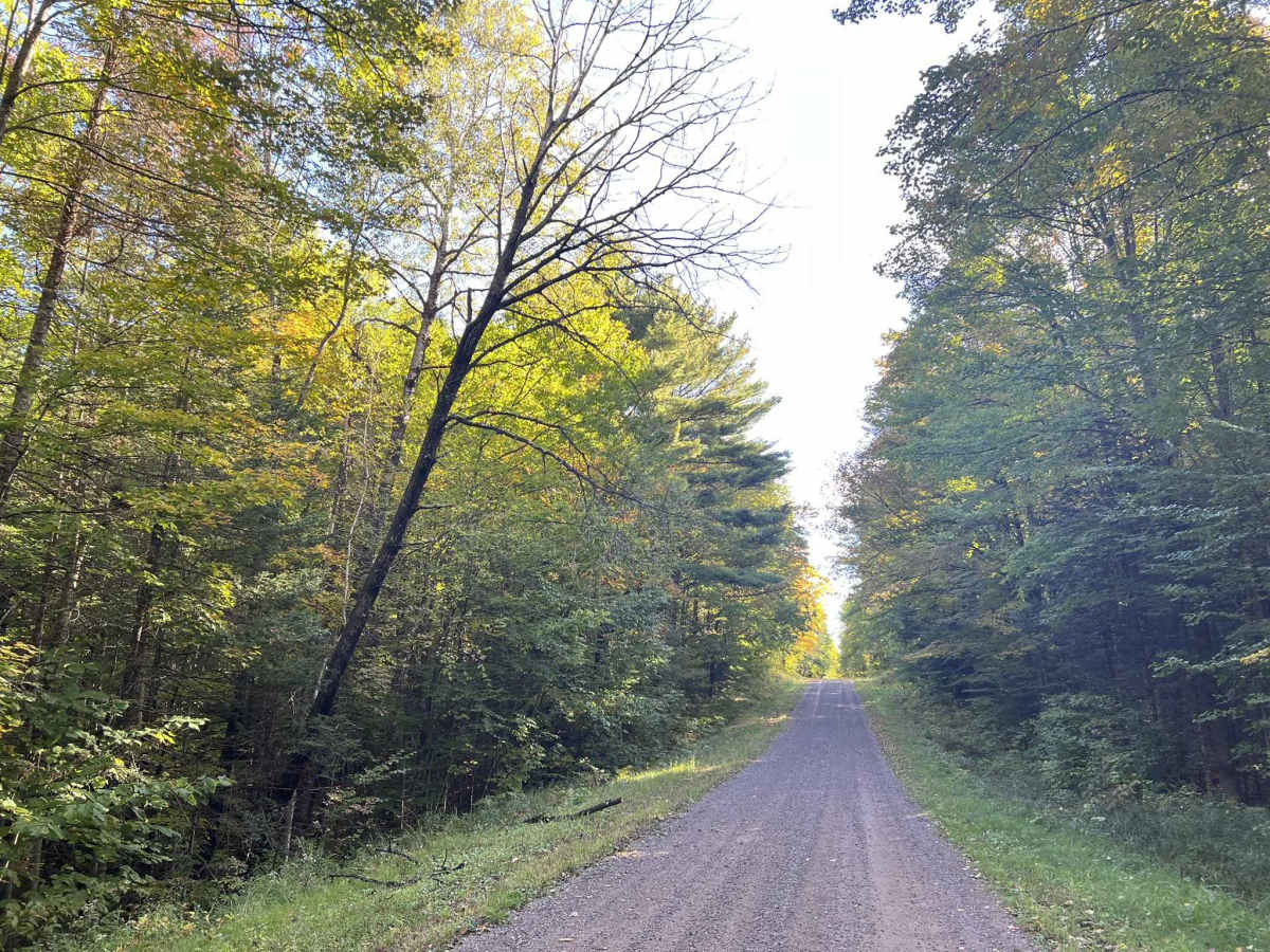
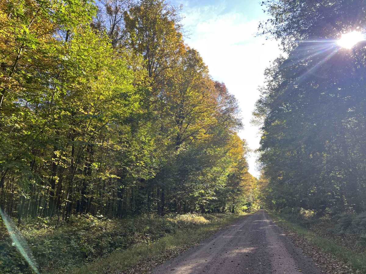
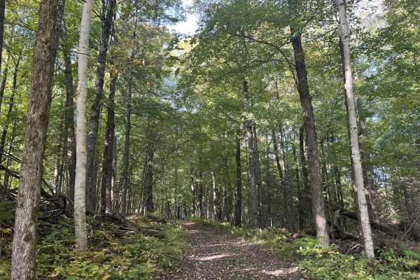
FS 553 is a gravel forest road that travels from its intersection with Sawyer Ave, Forest Road 118, to its intersection with FS117. This gravel forest road is just under two lanes wide throughout. This trail features gentle rolling hills and flowing, sweeping corners. The ditch lines are similar to many others in this area and are well maintained, but are steep, oftentimes dropping off into the surrounding forest. The scenery around this trail is also similar to many other trails in this area. Surrounded by rolling hills and sporadic bowls located throughout the forest. The trees in this area are mostly mature hardwoods, with pine trees scattered throughout. Undergrowth in this area is more abundant than it is in other surrounding areas. This does not impact the drivability of the trail but can obstruct views into the forest. Cell service in this area is generally good, and traveling with downloaded maps is not required.
Difficulty
This is a gentle, rolling gravel trail just under two vehicles wide for the entire length. Sight lines are good to great, with few or no obstacles on the trail. Being a forest road, there is always the potential for small branches to be on the trail or for washouts due to heavy rainfall. Ditch lines on this trail are steep and often do not exist.