
Beginner Off-Road Trails
Near Ruffin, North Carolina
Explore All Beginner Trails Near Ruffin, North Carolina
Beginner Off-Road Trails Near Ruffin, North Carolina
Discover the best beginner-friendly off-road trails near you. These easier, lower-rated trails are a great place to start — browse trail maps, check difficulty ratings, and find your next adventure.
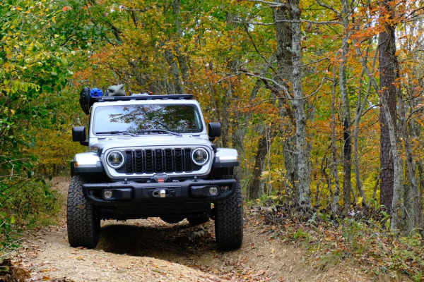
Bobblets Gap
Bobblets Gap is a natural surface two-track that starts on the south side of the Blue Ridge near Montvale, Virginia, and traverses up the mountain. At the top, it goes under the Blue Ridge Parkway and back off the north side of the mountain range, where it intersects with the Appalachian Trail and a...
Learn more about Bobblets Gap
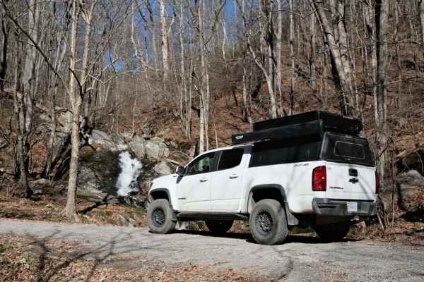
Overstreet Creek
Overstreet Creek climbs from just over 1,300 feet in elevation to 3,250 ft, where it meets the Blue Ridge Parkway. This four-mile-long route is mostly gravel, but some of the steep sections include larger rocks. The namesake creek parallels the road for most of the length, and several waterfalls are...
Learn more about Overstreet Creek
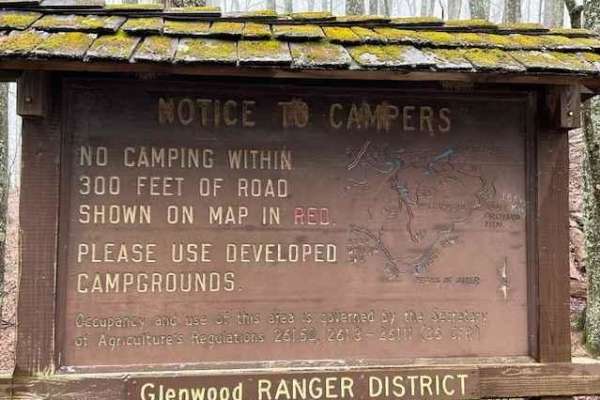
Powell's Gap
This is a gravel FS road leading to prime trout water. It's a scenic short path off the Blue Ridge Parkway. Go to the end of the road and take a left onto Jennings Creek. The trout water parallels the road for a few miles. The water is stocked and there are 2 nearby campgrounds off Jennings Creek Ro...
Learn more about Powell's Gap
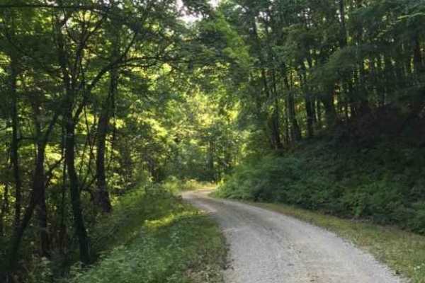
Middle Creek
This is a dead-end route leading to a junction of 4 other trails. This route has only 2 dispersed sites. This is a maintained gravel forest service road and is primarily used for horseback riding on the gated trails. The surface is smooth gravel. Cell service is adequate at the end.
Learn more about Middle Creek
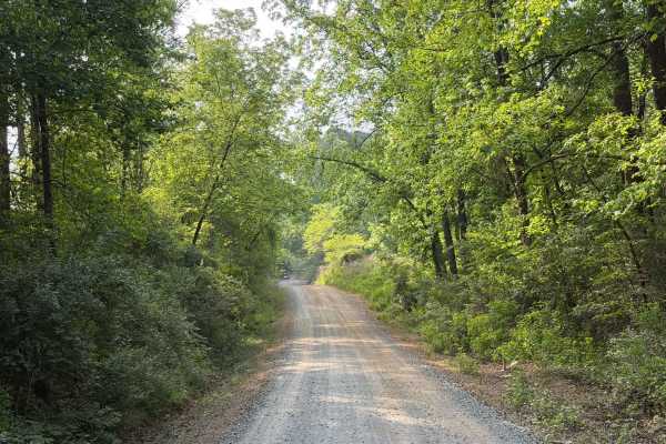
McLeans Creek - FS 544
McLeans Creek (FS 544) serves as the middle of three access routes to Uwharrie National Forest. While the majority of McLeans Creek proper features a paved surface, the westernmost mile quickly transitions into a gravel and hard-packed dirt forest service road. On Mullinix Road just before the inter...
Learn more about McLeans Creek - FS 544
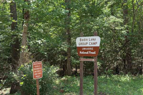
Kings Mountain Road - FS 597A
The trail is an easy, standard Forest Service road providing access to the Badin Lake campgrounds, group campgrounds, and recreation area. Most, if not all, of the Badin Lake campsites do not have power or water hookups; however, the grounds do feature a bathhouse, RV pump station, and lake access. ...
Learn more about Kings Mountain Road - FS 597A
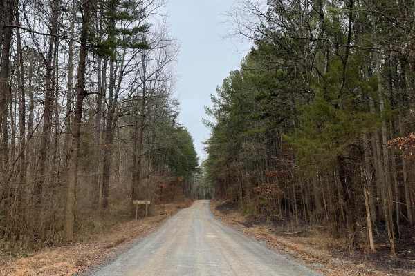
FS-576
FS-576 in Uwharrie National Forest, also known as Moccasin Cir, is a gravel road that splits the National Forest from east to west and dead-ends at the Deep Woods camp area. Along the way, there are several primitive campsites just off the road. Some of them have stunning views of Badin Lake just so...
Learn more about FS-576
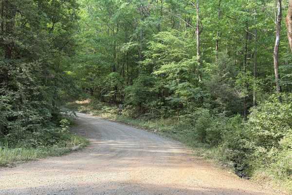
Cotton Place - FS 555
Cotton Place is a Forest Service road located within Uwharrie National Forest. It runs from Moccasin Creek (FS 576) to private property south of the national forest. The trail primarily provides access to the "front side" of Daniel (FS 390), the most challenging OHV area within Uwharrie National For...
Learn more about Cotton Place - FS 555
Beginner ATV trails near Ruffin, North Carolina
Explore ATV-friendly trails near you. These trails are accessible for vehicles up to 50 inches wide, perfect for ATVs and smaller off-road machines.
FS-576
FS-576 in Uwharrie National Forest, also known as Moccasin Cir, is a gravel road that splits the National Forest from east to west and dead-ends at the Deep Woods camp area. Along the way, there are several primitive campsites just off the road. Some of them have stunning views of Badin Lake just so...
Learn more about FS-576
Beginner UTV/side-by-side trails near Ruffin, North Carolina
Find UTV and side-by-side trails near you. These trails accommodate vehicles up to 60 inches wide, ideal for UTVs, side-by-sides, and wider off-road rigs.
FS-576
FS-576 in Uwharrie National Forest, also known as Moccasin Cir, is a gravel road that splits the National Forest from east to west and dead-ends at the Deep Woods camp area. Along the way, there are several primitive campsites just off the road. Some of them have stunning views of Badin Lake just so...
Learn more about FS-576
The onX Offroad Difference
onX Offroad combines trail photos, descriptions, difficulty ratings, width restrictions, seasonality, and more in a user-friendly interface. Available on all devices, with offline access and full compatibility with CarPlay and Android Auto. Discover what you're missing today!
Open Trail Map