
Beginner Off-Road Trails
Near Leslie, Arkansas
Explore All Beginner Trails Near Leslie, Arkansas
Beginner Off-Road Trails Near Leslie, Arkansas
Discover the best beginner-friendly off-road trails near you. These easier, lower-rated trails are a great place to start — browse trail maps, check difficulty ratings, and find your next adventure.
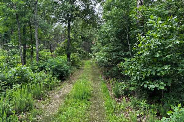
Boardtree
This route is a continuation of Rosemary Knob and becomes noticeably narrower as the route pushes deeper into the forest. Thick overgrowth lines both sides of the route, with grass and vegetation growing heavily between the tire tracks, giving the trail a more secluded and lightly traveled feel. Den...
Learn more about Boardtree
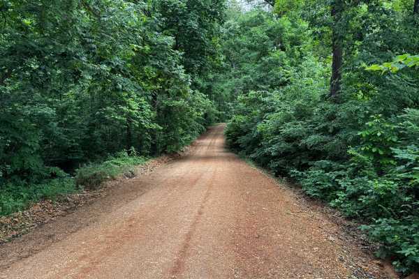
North Mill Creek
This route follows a well-maintained gravel road winding through dense hardwood forest and rolling Ozark terrain. Tall trees and thick green vegetation surround the roadway for nearly the entire drive, creating a tunnel-like atmosphere in many sections. The gravel surface is generally smooth and wid...
Learn more about North Mill Creek
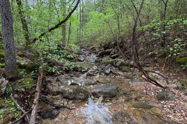
Spring Creek Falls
This trail is located on the eastern side of the Ozark National Forrest. This trail shares the side of the Ozark National Forrest and one side with the Leatherwood Wilderness Management area. Use caution, as well as always double-check MVUM to be sure you are on the correct trail, as Leatherwood Wil...
Learn more about Spring Creek Falls
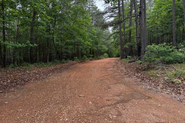
Lawrence road
This route is a well-maintained gravel road winding through dense sections of the Ozark National Forest, surrounded by tall pines, hardwoods, and thick green undergrowth. The drive feels more scenic than technical, with wide gravel surfaces, gentle curves, and long stretches shaded by the forest can...
Learn more about Lawrence road
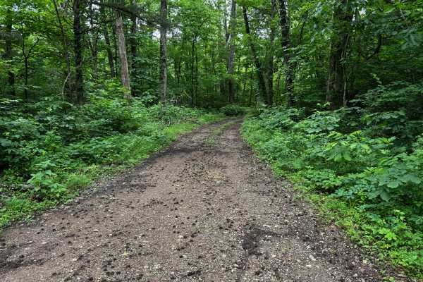
Rosemary Knob
This route branches off from 1106 and quickly transitions into a quieter, more secluded forest route surrounded by dense hardwoods and thick underbrush. The surface is mostly gravel and packed dirt with patches of grass growing between the tire tracks, giving parts of the route a lightly traveled fe...
Learn more about Rosemary Knob
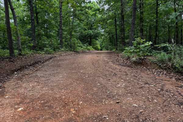
91057C
This county road provides an easy scenic drive through a heavily wooded section of the Ozarks. The route is gravel and generally well maintained, with wider sections near the entrance before gradually narrowing as it approaches the creek area. Tall hardwoods and thick vegetation line both sides of t...
Learn more about 91057C
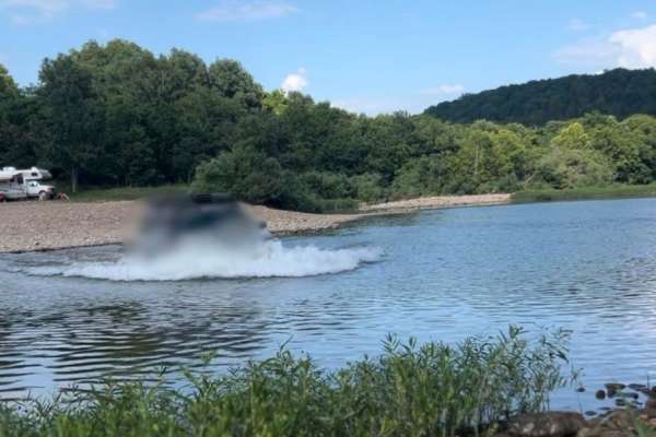
Flat Woolum
Starting off near Flat Arkansas, you make your way North towards Mt. Hersey and then follow the main gravel road down to Woolum. Please keep in mind of the water crossings and make sure to check water levels at all water crossings. Rain can change these crossings and water can be deep at certain tim...
Learn more about Flat Woolum
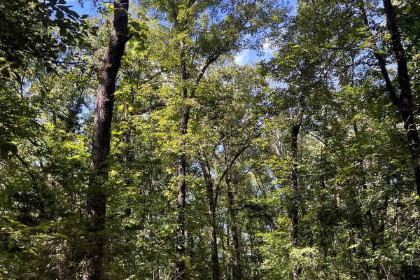
Tylers Bend View
This is a beautiful scenic drive from Snowball, Arkansas to Tylers Bend Campground at the Buffalo National River. The trail follows along the roads Searcy County 13, Gateway Road, and Peter Cave Road. The beautiful views of the Buffalo River and Ozarks surround you once you turn onto Peter Cave Road...
Learn more about Tylers Bend View
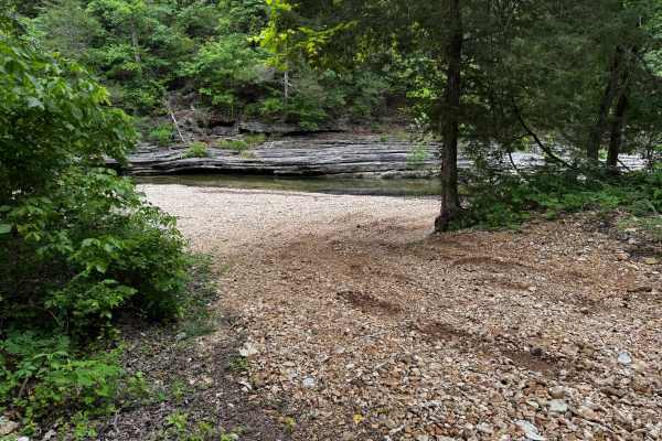
Owens Ward Road
This route offers an easy scenic drive through a quiet section of the Ozark National Forest. The well-maintained gravel road winds through dense forest, shaded creek bottoms, and rolling hillsides. Along the way, the route passes the historic Stevens Roasting Ear Cemetery, adding to the remote Ozark...
Learn more about Owens Ward Road
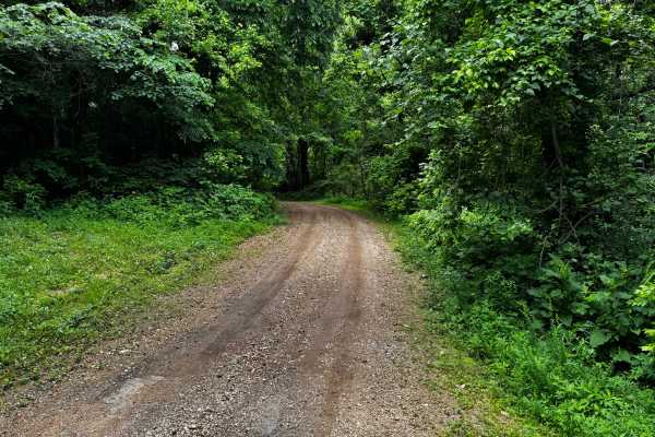
1106
This trail combines maintained gravel road with sections that follow the creek through a heavily wooded area. The route begins as a smoother gravel road winding through dense forest canopy before transitioning into rougher terrain with loose rock, uneven surfaces, and multiple creek crossings. One c...
Learn more about 1106
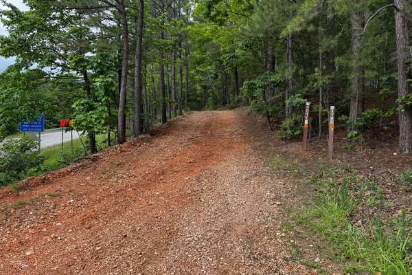
Gibbs
This route offers a more engaging drive than the surrounding maintained county roads, with several features that add a moderate level of technical challenge. The route begins as a fairly smooth gravel path winding through dense hardwood and pine forest, but quickly narrows with heavy vegetation pres...
Learn more about Gibbs

FSR 91033C
This trail is fairly simple overall and makes for an easy scenic drive through the forest. The route winds through a mix of dense woods and open grassy clearings, with stretches of narrow two-track cutting between tall trees and thick green undergrowth. In several areas, the trail becomes tighter wi...
Learn more about FSR 91033C
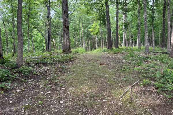
91033E
This trail is fairly simple overall and makes for an easy scenic drive through the forest. The route winds through a mix of dense woods and open grassy clearings, with stretches of narrow two-track cutting between tall trees and thick green undergrowth. In several areas, the trail becomes tighter wi...
Learn more about 91033E
91033C
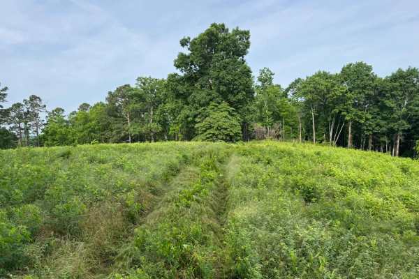
This is an easy out-and-back forest route that can also be used to access sections of the Ozark Highlands Hiking Trail. The trail winds through dense hardwood forest, narrow tree-lined corridors, and a few open grassy clearings that provide brief views before the route disappears back into the timbe...
Learn more about 91033C
Wallis
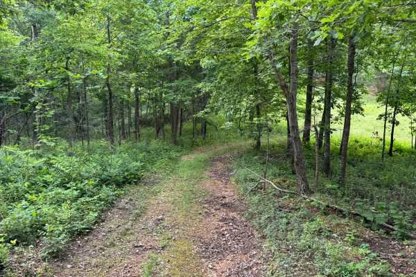
This out-and-back trail is narrow and only wide enough for a single vehicle in most areas, making passing difficult if another group is encountered. The route winds through a quiet forest filled with tall hardwoods, scattered pines, and thick green undergrowth, with several sections opening briefly ...
Learn more about Wallis
Wallis
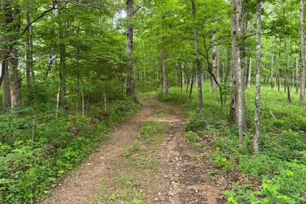
This out-and-back trail is narrow and only wide enough for a single vehicle in most areas, making passing difficult if another group is encountered. The route winds through a quiet forest filled with tall hardwoods, scattered pines, and thick green undergrowth, with several sections opening briefly ...
Learn more about Wallis
1129a
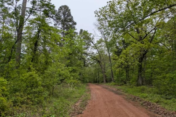
This maintained trail is bumpy and rocky, descending steeply from the paved road into a valley where a beautiful river flows. Unfortunately, the area has suffered significant storm damage, including a tornado that passed through in late April 2025. The trail passes near several private properties, r...
Learn more about 1129a
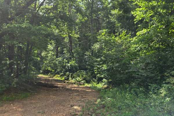
Low Gap Cemetery Road
This trail, Low Gap Cemetery Road, starts off of River Field Loop and starts climbing the hill. This trail has mudholes, whoops, and steep inclines with loose rock. This trail is also washed out in a few places. The trail keeps on going, but according to the WMA map, it ends.
Learn more about Low Gap Cemetery Road
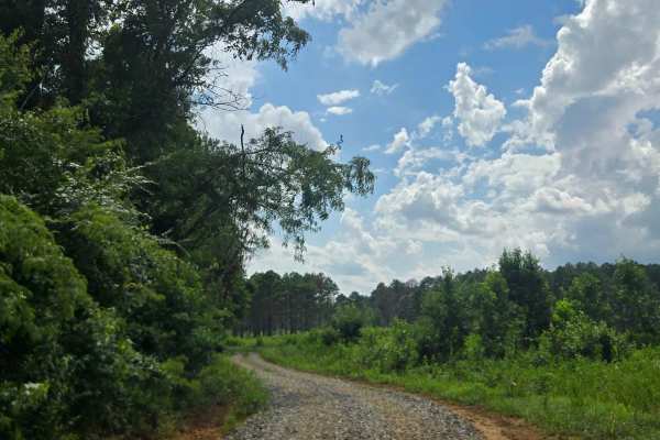
River Field Loop
This trail, River Road Loop, starts off of Cottonwood Road and is a dirt road loop. This trail has several other trails starting off of it; some are restricted per the WMA map, but some are accessible. This trail loops around a cleared field of beautiful WMA land and is well maintained.
Learn more about River Field Loop
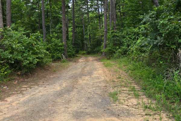
Dee Linn Jones Road
This Trail, Dee Linn Jones Road, starts off of River Field Loop and starts climbing the hill. It has a range of obstacles including a couple of shallow creek crossings, several whoops, steep inclines, a rock garden, mud, and roots. The trail keeps going, but it ends according to the WMA map.
Learn more about Dee Linn Jones Road
Beginner ATV trails near Leslie, Arkansas
Explore ATV-friendly trails near you. These trails are accessible for vehicles up to 50 inches wide, perfect for ATVs and smaller off-road machines.
Spring Creek Falls
This trail is located on the eastern side of the Ozark National Forrest. This trail shares the side of the Ozark National Forrest and one side with the Leatherwood Wilderness Management area. Use caution, as well as always double-check MVUM to be sure you are on the correct trail, as Leatherwood Wil...
Learn more about Spring Creek Falls
91057C
This county road provides an easy scenic drive through a heavily wooded section of the Ozarks. The route is gravel and generally well maintained, with wider sections near the entrance before gradually narrowing as it approaches the creek area. Tall hardwoods and thick vegetation line both sides of t...
Learn more about 91057C
Flat Woolum
Starting off near Flat Arkansas, you make your way North towards Mt. Hersey and then follow the main gravel road down to Woolum. Please keep in mind of the water crossings and make sure to check water levels at all water crossings. Rain can change these crossings and water can be deep at certain tim...
Learn more about Flat Woolum
Gibbs
This route offers a more engaging drive than the surrounding maintained county roads, with several features that add a moderate level of technical challenge. The route begins as a fairly smooth gravel path winding through dense hardwood and pine forest, but quickly narrows with heavy vegetation pres...
Learn more about Gibbs
Beginner UTV/side-by-side trails near Leslie, Arkansas
Find UTV and side-by-side trails near you. These trails accommodate vehicles up to 60 inches wide, ideal for UTVs, side-by-sides, and wider off-road rigs.
Spring Creek Falls
This trail is located on the eastern side of the Ozark National Forrest. This trail shares the side of the Ozark National Forrest and one side with the Leatherwood Wilderness Management area. Use caution, as well as always double-check MVUM to be sure you are on the correct trail, as Leatherwood Wil...
Learn more about Spring Creek Falls
91057C
This county road provides an easy scenic drive through a heavily wooded section of the Ozarks. The route is gravel and generally well maintained, with wider sections near the entrance before gradually narrowing as it approaches the creek area. Tall hardwoods and thick vegetation line both sides of t...
Learn more about 91057C
Flat Woolum
Starting off near Flat Arkansas, you make your way North towards Mt. Hersey and then follow the main gravel road down to Woolum. Please keep in mind of the water crossings and make sure to check water levels at all water crossings. Rain can change these crossings and water can be deep at certain tim...
Learn more about Flat Woolum
Gibbs
This route offers a more engaging drive than the surrounding maintained county roads, with several features that add a moderate level of technical challenge. The route begins as a fairly smooth gravel path winding through dense hardwood and pine forest, but quickly narrows with heavy vegetation pres...
Learn more about Gibbs
The onX Offroad Difference
onX Offroad combines trail photos, descriptions, difficulty ratings, width restrictions, seasonality, and more in a user-friendly interface. Available on all devices, with offline access and full compatibility with CarPlay and Android Auto. Discover what you're missing today!
Open Trail Map