Trail Overview
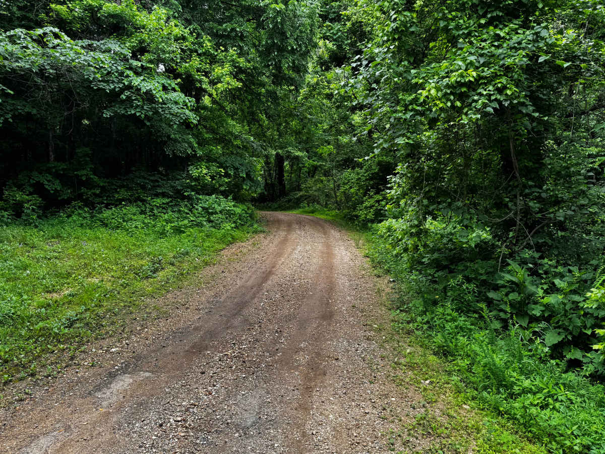
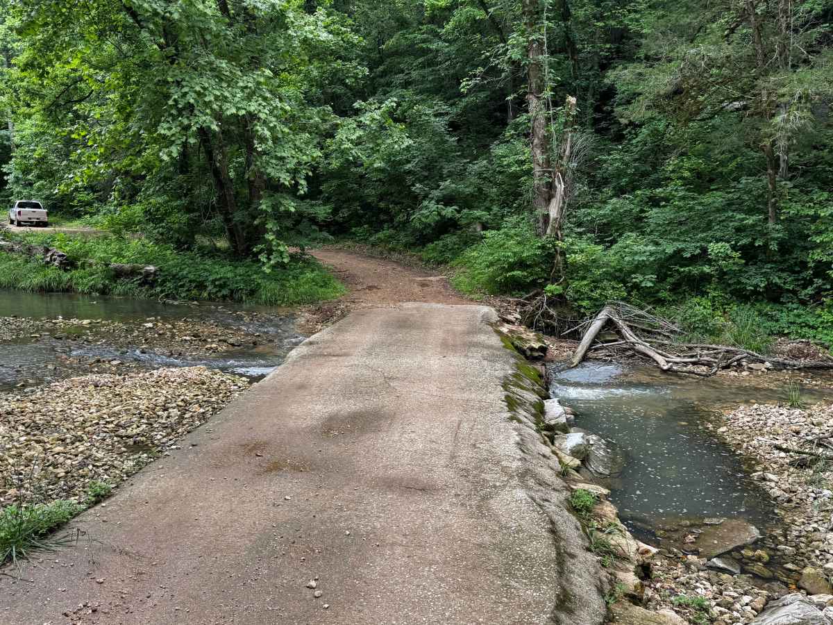
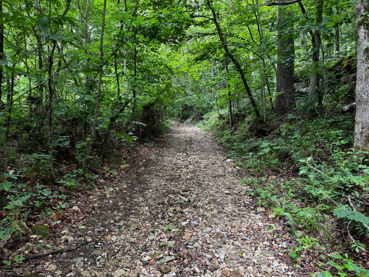
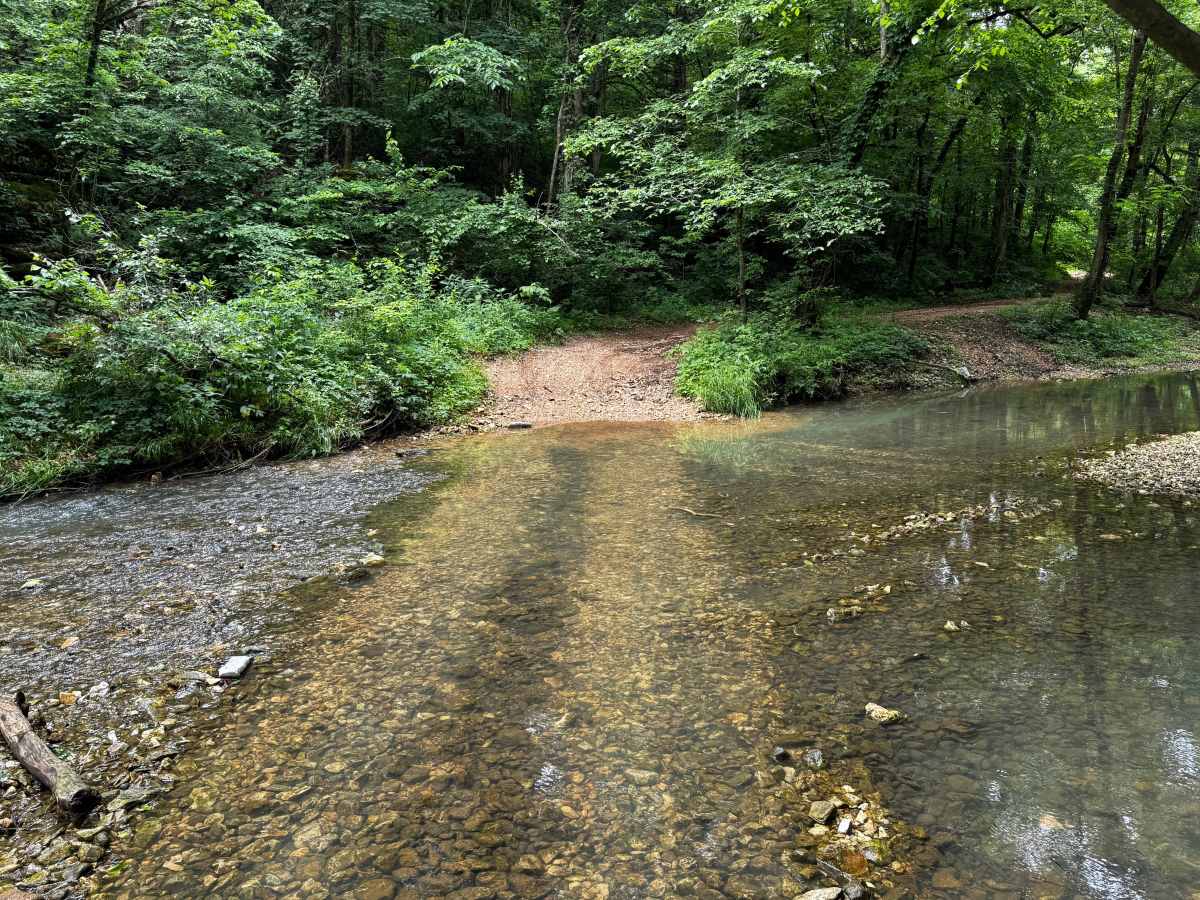
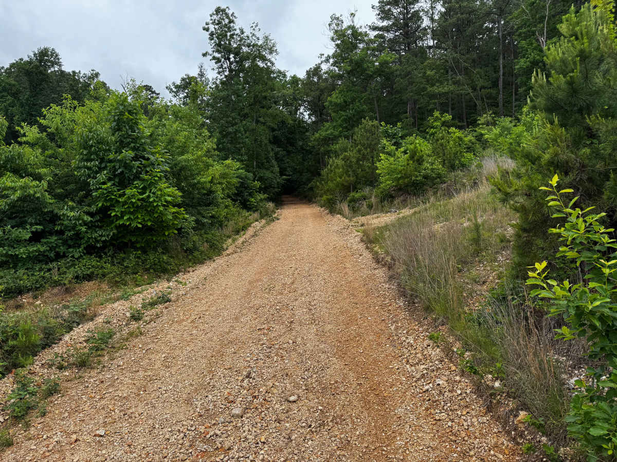
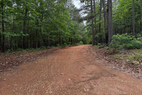
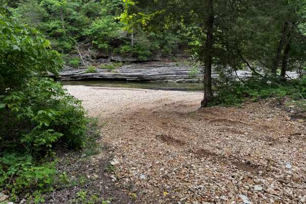
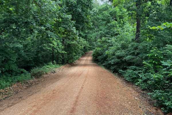
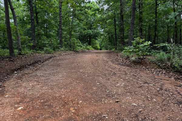
This trail combines maintained gravel road with sections that follow the creek through a heavily wooded area. The route begins as a smoother gravel road winding through dense forest canopy before transitioning into rougher terrain with loose rock, uneven surfaces, and multiple creek crossings. One crossing utilizes a concrete low-water bridge with a solid base, while another crossing travels directly through the creek over a softer, rock-covered bottom that may require four-wheel drive and careful throttle control depending on recent rainfall and water levels. The surrounding landscape is lush and secluded, with wooded hillsides, flowing clear water, and gravel bars lining portions of the creek. Drivers will also pass near a local church where the road curves around the property, so extra caution should be used for oncoming traffic and parked vehicles during church events or gatherings.
Difficulty
Most of this route is manageable for stock high-clearance 4WD vehicles, but the water crossings raise the difficulty slightly above a standard gravel forest road. The maintained gravel sections are straightforward, though the more unmaintained portions contain loose rock, uneven surfaces, and creek crossings that can become more challenging after rain. One crossing has a soft bottom that may require four-wheel drive, good throttle control, and moderate ground clearance depending on water depth and current conditions. The second crossing has a firmer rock base but still requires caution during higher water levels.
History
The roads throughout this region were originally established for logging, mining, homestead access, and fire management long before recreational off-roading became popular. Portions of the surrounding Buffalo National River area contain deep ties to Ozark pioneer history, including old settlements, abandoned homesites, family cemeteries, and former mining operations dating back to the late 1800s and early 1900s. The nearby Rush Historic District was once one of the largest zinc mining communities in Arkansas during the early 20th century. Many of the ridge roads and hollows drivers travel today follow paths historically used by miners, loggers, ranchers, and local residents navigating the rugged Ozark terrain long before modern highways existed.