Ozark 4x4
May 24, 2026
Permanently Closed
THE CROSSING AT MT. HERSEY IS ILLEGAL PER BUFFALO RIVER NPS MAP.
Christian crow
May 02, 2026
2023 Jeep Gladiator
Obstructed
Impassable Water Crossing
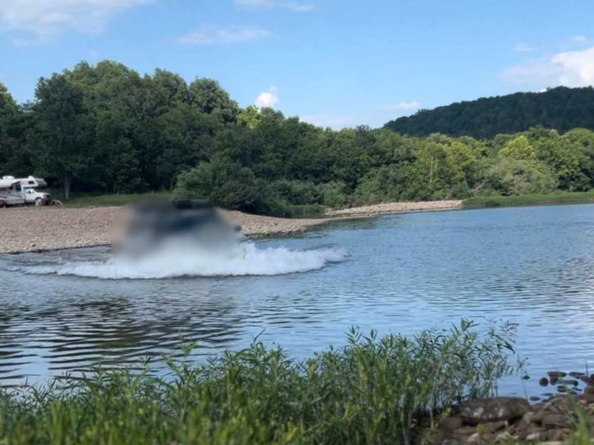
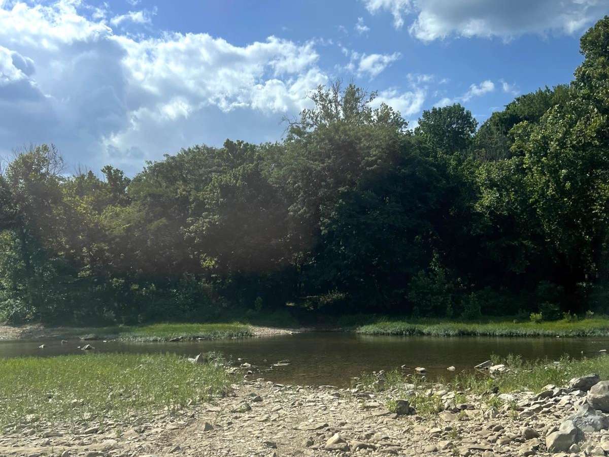
Trying to get to narrows. Richland creek pretty high. Water got to fenders before I backed out. Unsure about the north side at the buffalo crossing
Mason Mullins
May 02, 2026
2000 Jeep Cherokee
Obstructed
Impassable Water Crossing
Very pretty trail, the Buffalo was too deep to cross for my stock height Jeep XJ and the Gladiator behind me.
Spencer Davis
Apr 18, 2026
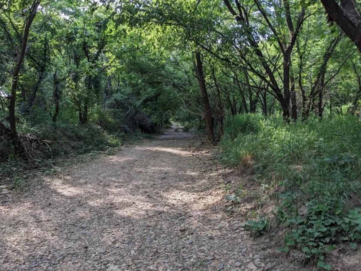
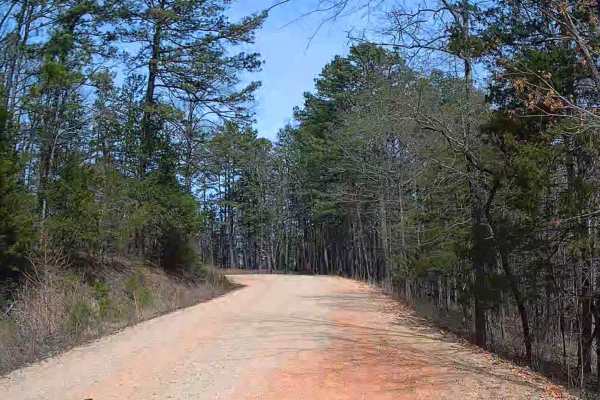
Open
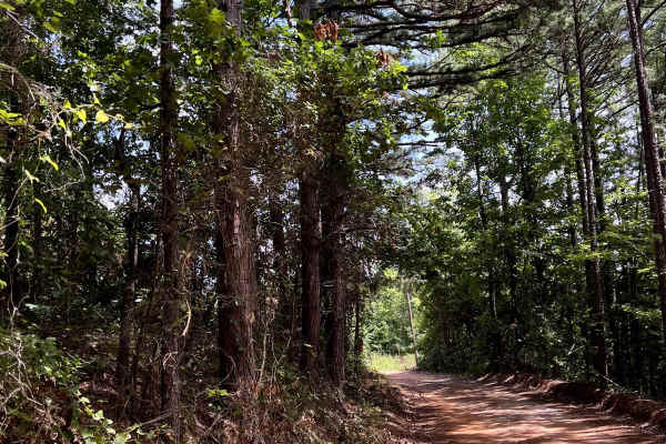
NormalDustyMuddy/WetWashboard
Ozark 4x4
Mar 27, 2026
Permanently Closed
The crossing at Mt Hershey boat ramp is illegal per the NPS Ranger.
Brad Helton
Sep 28, 2025
2019 Subaru Ascent
Obstructed
Impassable Water Crossing
Attempted to do the crossing at Woolum Campgrounds to head over to The Narrows hike. The Buffalo is up a litte too much for my comfort. Couple that with the path out on the other side being steep, sandy, and severely rutted, I decided to not chance it. Had I come the other direction, I may had gone for it. Or if I had a travel partner or a winch.
MD M
Aug 29, 2025
Obstructed
WashoutImpassable Water Crossing
Nathan Bohannon
Jul 17, 2025
Open
Normal
There is an alternate path just up the gravel bar from the original crossing. The original crossing is a no go. It's now a steep soft sand bank.
Skyler Waters
Jul 05, 2025
2009 Jeep Wrangler
Obstructed
Impassable Water Crossing
did the trail in reverse, coming south from Mount Hershey, made it across the buffalo river by Davis creek but could find no sign of the trail on the other side. guess it has been obstructed by debris or washed out, sadly had to turn around and back track back to woolum
Bob R Cliffhanger
May 21, 2025
Obstructed
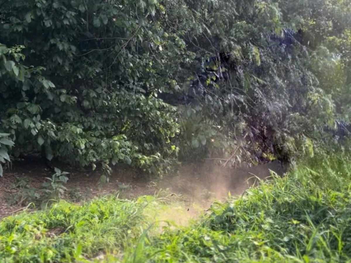
Downed Tree
Large blown down tree across road going north and a few miles before River crossing
Scott Kirn
Mar 15, 2025
2016 Jeep Wrangler
Temporarily Closed
Weather Event
The crossing at Flat Woolum pretty much gone. Super soft sand bar and deep. I assume when the river flooded last it piled u all the sand.
Luke N
Jan 03, 2025
Obstructed
WashoutDowned TreeImpassable Water Crossing
Trail is washed out and blocked by large debris piles due to elevated storm water in the Buffalo.
Brandon T
Nov 30, 2024
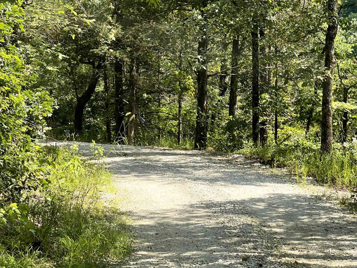
Open
Rough/Deteriorated
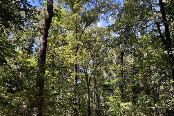
You can see evidence of obstructions and washouts, but it’s been cleared and the trail is passable
Matt Wiest
Nov 16, 2024
Obstructed
WashoutDowned Tree
impassable heading north across Buffalo River due to wash out and multiple large down trees.
Wes Watkins
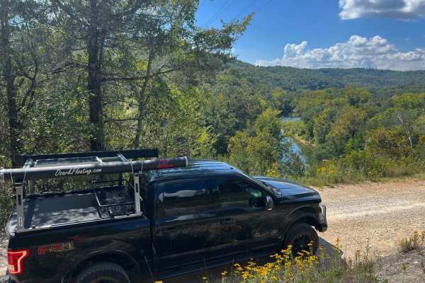
Oct 18, 2024
Open
Dusty
It’s late summer and the water is low everywhere. The Richland creek crossing was completely dry, and it was maybe 18 inches deep at Woolum. A pleasant if not challenging trail, one of our first true off-roading trips in this truck.